

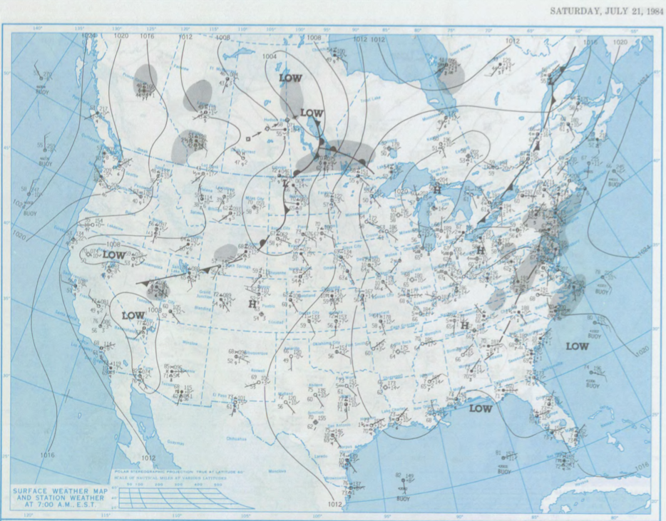
Figure 1 shows the surface observations at 7:00 am CDT, which shows a pair of low pressure systems over northern Manitoba with an extending stationary front across southwestern Manitoba and a warm front extending east near the Ontario/Manitoba border. Parts of southern Manitoba was therefore observed to be in the warm sector with southerly flow.
The warm sector became increasingly unstable throughout the day on July 21st. The stationary front likely triggered thunderstorms across southern Manitoba, which ultimately led to this tornado.
According to Environment and Climate Change Canada (2018), an F0 tornado touched down at 7:30 pm CDT near Hargrave, MB. The track and width of the tornado was not documented by ECCC. The tornado caused no fatalities, no injuries and no property damage.
Sources
NOAA Central Library. (2020). U.S. Daily Weather Maps. Saturday July 21, 1984 [PDF]. Retrieved from https://library.noaa.gov/Collections/Digital-Collections/US-Daily-Weather-Maps
Environment and Climate Change Canada Data. (2018). Canadian National Tornado Database: Verified Events (1980-2009) – Public. Retrieved from: http://donnees.ec.gc.ca/data/weather/products/canadian-national-tornado-database-verified-events-1980-2009-public/