

This tornado had a classic, Wizard of Oz appearance, a slender serpentine twister that snaked its way downward. It was witnessed by several local residents, as well as by an off duty Environment Canada official who was golfing in the area at the time. Witnesses captured photographs and videos of the long rope funnel cloud approaching the ground, and reported seeing a swirl of debris at its base. Very minor tree and house damage occurred, with some losing shingles.
The tornado developed on a day when particularly severe weather was not forecast. It was spawned by a relatively weak, garden variety thunderstorm that developed along the Lake Erie lake breeze front. As the storm sat on and interacted with the boundary, there was just enough localized shear to generate the twister. The touchdown occurred at 7:00 pm.
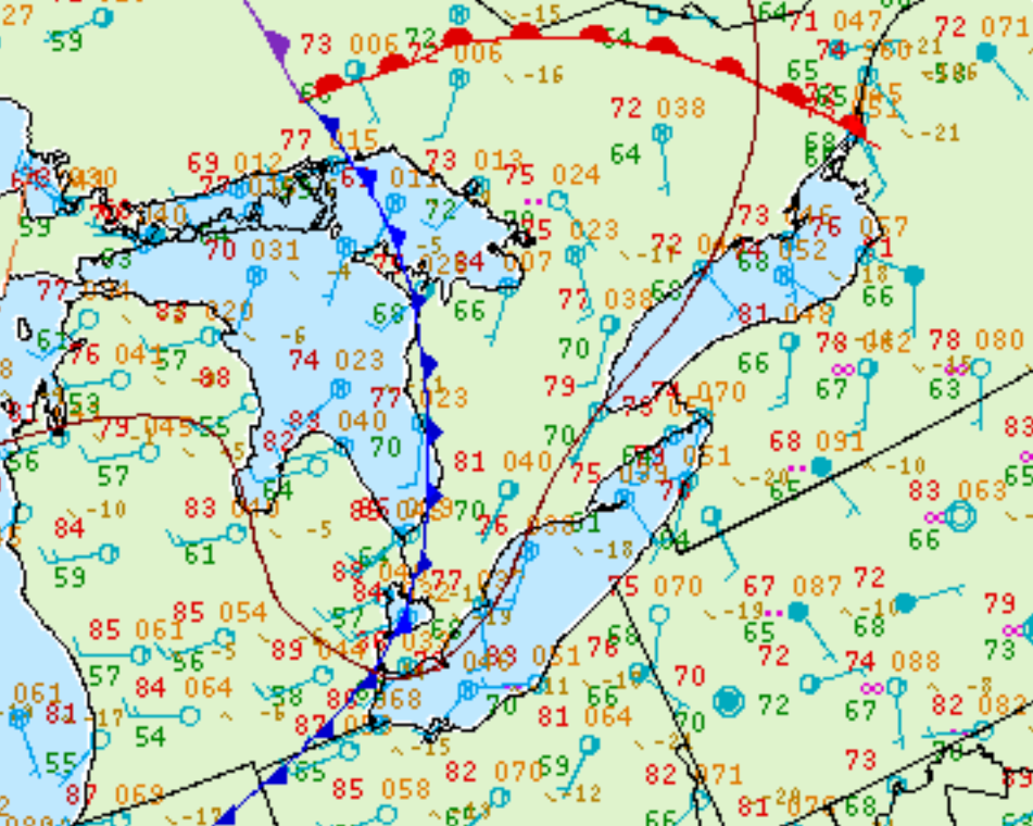
Figure 2 depicts the surface observations at 5:00 pm EDT, which shows a cold front slicing through southern Ontario. This front served as the focus for thunderstorm development throughout the early evening hours of July 30th, which ultimately led to this tornado.
According to Environment and Climate Change Canada (2018), an F0 tornado touched down at 7:00 pm near Hickson, ON. The path and width of the tornado was not documented by ECCC. The tornado caused no fatalities, injuries or property damage.
Sources
DarkSky. (2009, Aug 25). Jul.30, 2008 – possible tornado in Kickson [Msg 1]. Message posted to http://www.ontariostorms.com/showthread.php?t=28
NWS Weather Prediction Center Surface Analysis Archive. (2017). Surface analysis 21Z Wed Jul 30 2008. Retrieved from: https://www.wpc.ncep.noaa.gov/archives/web_pages/sfc/sfc_archive.php
Environment and Climate Change Canada Data. (2018). Canadian National Tornado Database: Verified Events (1980-2009) – Public. Retrieved from: http://donnees.ec.gc.ca/data/weather/products/canadian-national-tornado-database-verified-events-1980-2009-public/