

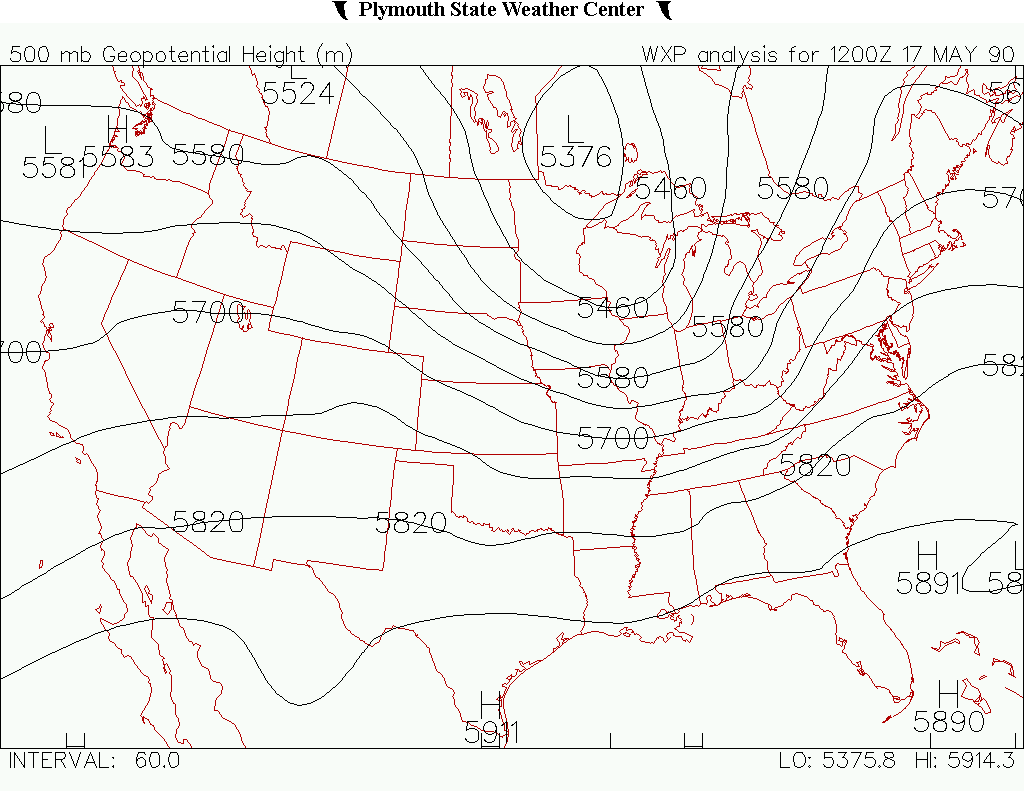
This tornado touched down at 2:25 pm, and was observed as a waterspout moving toward shore. As it reached land, docks were torn up and trees were snapped. Figure 1 depicts a significant negatively tilted upper-level trough over northwestern Ontario on the morning of May 17th, which provided the necessary lift for severe storms on this day.
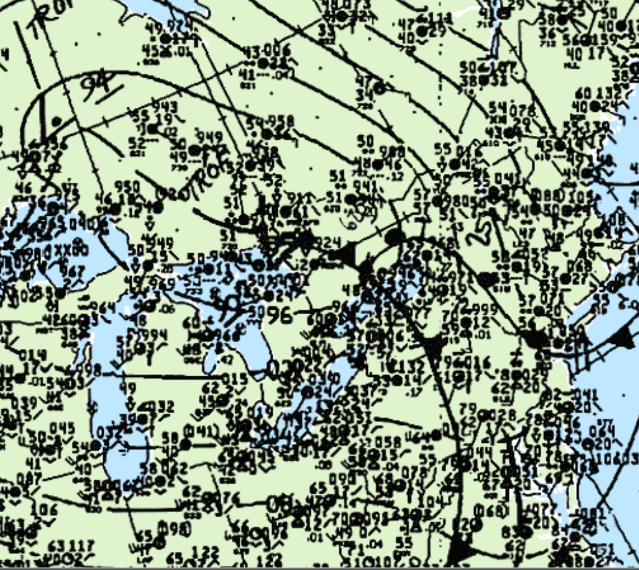
At the surface, a “triple point” is seen east-northeast of Toronto in southern Ontario at 2:00 pm EDT. An occluding low, warm front and cold front is depicted in Figure 2. Storms developed on the intersection of the occluding front and warm front, where this F0 tornado developed. The track length and direction was estimated.
According to Environment and Climate Change Canada (2018), an F0 tornado touched down at 2:25 pm EDT near Kushog Lake, ON. The track and width of the tornado was not documented by ECCC. The tornado caused no injuries, fatalities or property damage.
Sources
Plymouth State University. (2019). Plymouth State Weather Center. Retrieved from: https://vortex.plymouth.edu/myo/upa/ctrmap-a.html
NWS Weather Prediction Center Surface Analysis Archive. (2017). Surface analysis 18Z Thu May 17 1990. Retrieved from: https://www.wpc.ncep.noaa.gov/archives/web_pages/sfc/sfc_archive.php
Environment and Climate Change Canada Data. (2018). Canadian National Tornado Database: Verified Events (1980-2009) – Public. Retrieved from: http://donnees.ec.gc.ca/data/weather/products/canadian-national-tornado-database-verified-events-1980-2009-public/