

Touching down east of the city at around 4:30 pm, this tornado was witnessed by Londoners who captured photos and video of a cone funnel approaching the ground. Fortunately, though a dramatic scene for local residents, no damage was caused.
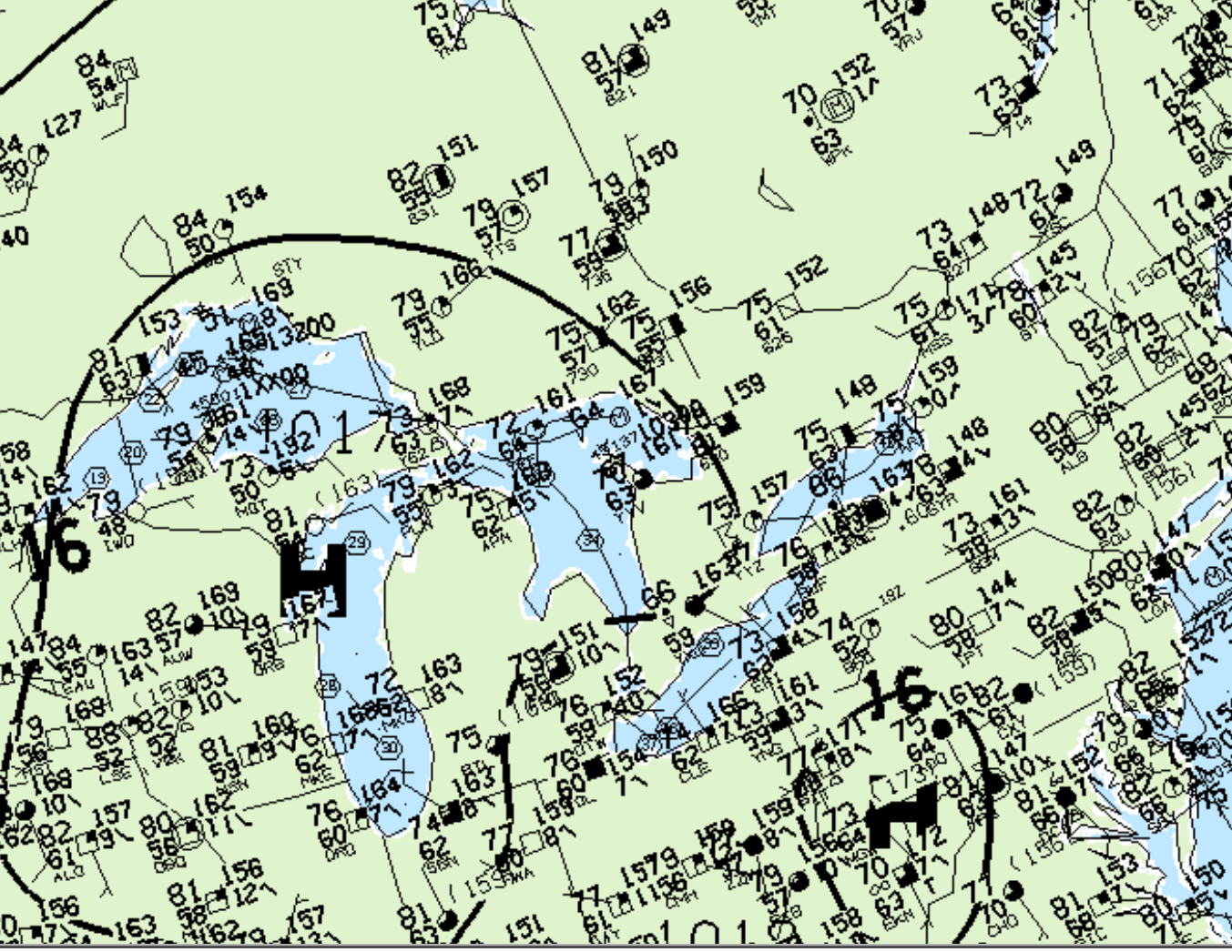
Figure 1 depicts the surface map at 5:00 pm EDT, which shows southern Ontario in an area of high pressure. This would generally mean fair weather, but for the Great Lakes, it means lake-breeze. Lake-breeze boundaries triggered thunderstorms near Toronto and London and this F0 tornado developed on the London storm.
According to Environment and Climate Change Canada (2018), an F0 tornado touched down at 4:30 pm EDT in London, ON. The path and width of the tornado was not documented by ECCC. The tornado caused no fatalities, injuries or property damage.
Sources
NWS Weather Prediction Center Surface Analysis Archive. (2017). Surface analysis 21Z Fri Aug 2 1996. Retrieved from: https://www.wpc.ncep.noaa.gov/archives/web_pages/sfc/sfc_archive.php
Environment and Climate Change Canada Data. (2018). Canadian National Tornado Database: Verified Events (1980-2009) – Public. Retrieved from: http://donnees.ec.gc.ca/data/weather/products/canadian-national-tornado-database-verified-events-1980-2009-public/