

Its parent storm developed explosively and almost immediately showed signs of rotation; indeed, the tornado formed very quickly, within an hour of the storm’s development. Its initial touchdown was at around 7:00 pm. The tornado was classic in appearance, a tapered white cone that darted to the ground as a misty ring of condensation rose from the surface. Area residents captured photos and videos of the funnel as it passed.
The tornado tracked for 5 km with a path that was up to 150m in width as it moved across the north side of town. It caused the most notable damage on Saintsbury Line north of Fallon Drive; there, trees were snapped and uprooted, an antennae was toppled and light debris was left littered about the yard of the township’s municipal building. At a neighbouring storage facility, Big Al’s, trailers were flipped over and one of them was tossed onto the adjacent property. In addition, a large sign was blown down and buildings were left with light impact damage from flying debris. About a kilometre to the east the tornado struck an area farm, snapping trees, tearing roofing and siding off of a barn and scattering objects and debris across the yard. From there it continued east through the fields and dissipated, though the parent supercell continued onward with a rapidly-rotating wall cloud. It producing additional funnel clouds near Grafton and Embro, and then dropped a second tornado, another photogenic cone, near the town of Drumbo.
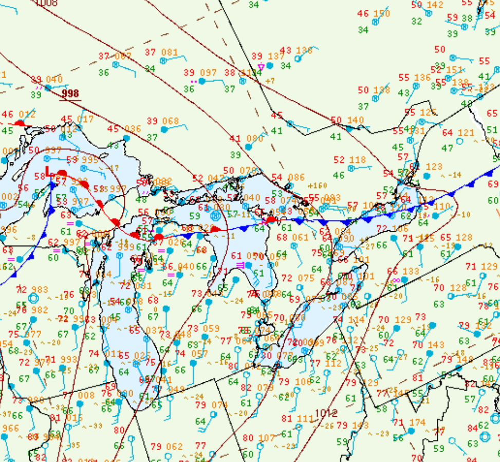
Figure 1 depicts the surface observations at 2:00 pm EDT, which shows a stationary front across southern Ontario. This front became the focus for thunderstorm activity throughout the afternoon hours of July 12th, which ultimately led to three tornadoes across southern Ontario on this day.
Sources
NWS Weather Prediction Center Surface Analysis Archive. (2017). Surface analysis 18Z Wed Jul 12 2017. Retrieved from: https://www.wpc.ncep.noaa.gov/archives/web_pages/sfc/sfc_archive.php