

This tornado touched down at 4:15 pm and travelled for 3km through the city. Fortunately the tornado was weak and did not cause any major damage; a few trees were uprooted and lawn furniture was tossed about. Numerous witnesses captured pictures and videos of the tornado, a large cone tornado that was fully condensed to the ground.
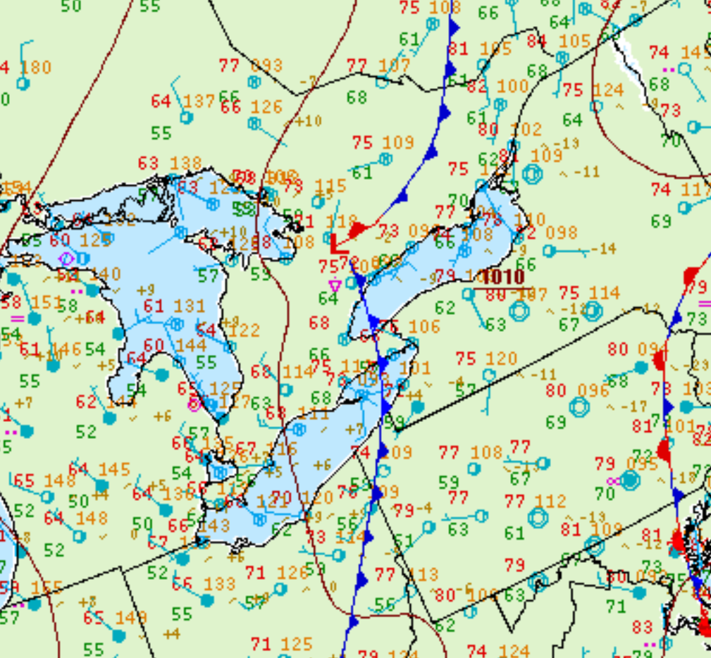
Figure 1 depicts the surface observations at 2:00 pm EDT, which shows a low pressure system in southern Ontario with an extending cold front across Lake Ontario and Lake Erie. This front became the focus of thunderstorms in the early afternoon hours of August 22nd, which ultimately led to this tornado.
According to Environment and Climate Change Canada (2018), an F0 tornado touched down at 4:15 pm in Markham, ON. The tpath and width of the tornado was not documented by ECCC. The tornado caused no fatalities or injuries, but caused $5000 dollars in property damage.
Sources
NWS Weather Prediction Center Surface Analysis Archive. (2017). Surface analysis 18Z Sat Aug 22 2009. Retrieved from: https://www.wpc.ncep.noaa.gov/archives/web_pages/sfc/sfc_archive.php
Environment and Climate Change Canada Data. (2018). Canadian National Tornado Database: Verified Events (1980-2009) – Public. Retrieved from: http://donnees.ec.gc.ca/data/weather/products/canadian-national-tornado-database-verified-events-1980-2009-public/