

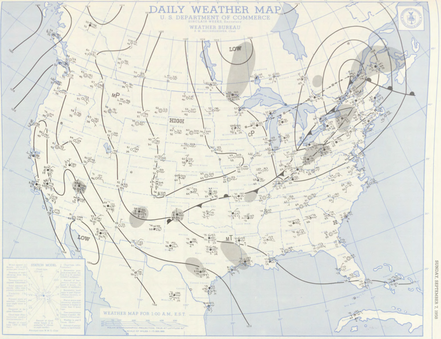
Figure 1 depicts the surface observations at 2:00 am EDT, which shows a cold front moving across Ontario. This front likely moved east throughout the day and triggered thunderstorms in the afternoon hours of September 7th, which ultimately led to this tornado.
The Millbrook, MA F0 tornado of September 7, 1958 impacted Plymouth County in Massachusetts. According to NOAA (2019), the F0 tornado caused one injury, one fatality and caused $2.5 thousand dollars in property damage. The tornado touched down in Plymouth County near West Street at 6:00 pm EDT. The path of the tornado was not documented by NOAA, but it had a maximum width of 33 yards.
Sources
NOAA Central Library. (2019). U.S. Daily Weather Maps. Sunday September 7, 1958 [PDF]. Retrieved from https://library.noaa.gov/Collections/Digital-Collections/US-Daily-Weather-Maps
NOAA National Centers for Environmental Information (2019). Storm Events Database. Retrieved from: https://www.ncdc.noaa.gov/stormevents/