

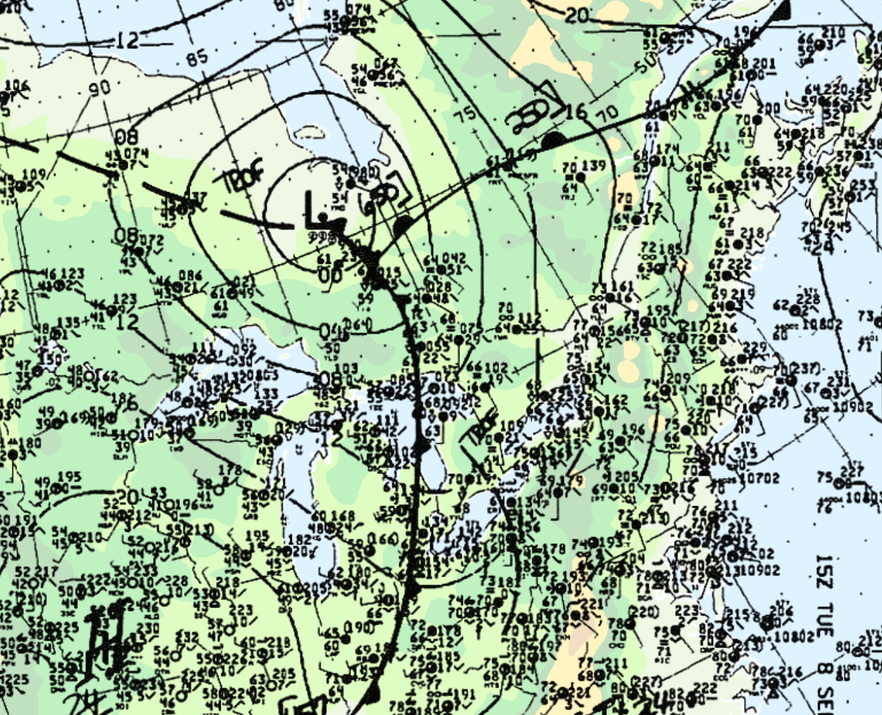
At about 10:45 am, witnesses observed a funnel cloud which touched down, snapping a tree and ripping up corn. Figure 1 depicts the surface map in the morning of September 8th, which shows an approaching cold front and pre-frontal trough responsible for triggering thunderstorms.
According to Environment and Climate Change Canada (2018), an F0 tornado touched down at 10:45 am EDT near Mount Brydges, ON. The track and width of the tornado was not documented by ECCC. The tornado caused no fatalities, injuries or property damage.
Source
NWS Weather Prediction Center Surface Analysis Archive. (2017). Surface analysis 15Z Tue Sep 8 1992. Retrieved from: https://www.wpc.ncep.noaa.gov/archives/web_pages/sfc/sfc_archive.php
Environment and Climate Change Canada Data. (2018). Canadian National Tornado Database: Verified Events (1980-2009) – Public. Retrieved from: http://donnees.ec.gc.ca/data/weather/products/canadian-national-tornado-database-verified-events-1980-2009-public/