

No damage was caused as this tornado touched down at around 6:40pm. It was a small cone tornado with debris swirling at its base, and was captured on video by CANWARN spotter and storm chaser Dave Patrick. This was one of two tornadoes to touch down in Southern Ontario on June 25; The other was an F0 at Havelock.
Figure 1 depicts the surface observations at 2:00 pm, which depicts a low pressure system in central/northern Ontario with a warm front extending into Quebec. Southerly winds and possible lake-breeze interactions with Lake Ontario could have triggered thunderstorms in the afternoon hours on June 25th, which ultimately lead to this tornado.
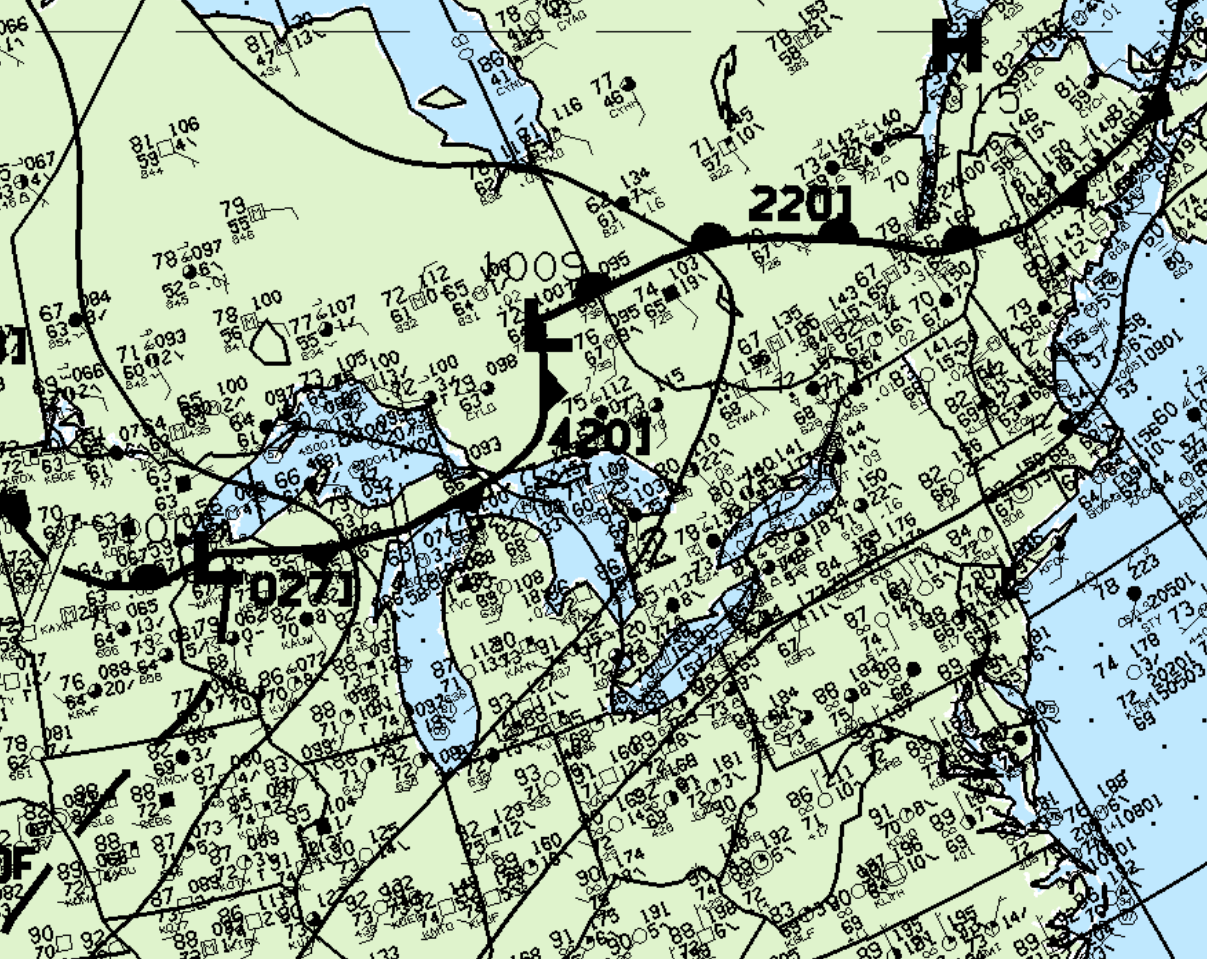
According to Environment and Climate Change Canada (2018), an F0 tornado touched down at 6:40 pm EDT near Mount View, ON. The path and width of the tornado was not documented by ECCC. The tornado caused no fatalities, injuries or property damage.
Sources
NWS Weather Prediction Center Surface Analysis Archive. (2017). Surface analysis 18Z Thu Jun 25 1998. Retrieved from: https://www.wpc.ncep.noaa.gov/archives/web_pages/sfc/sfc_archive.php
Environment and Climate Change Canada Data. (2018). Canadian National Tornado Database: Verified Events (1980-2009) – Public. Retrieved from: http://donnees.ec.gc.ca/data/weather/products/canadian-national-tornado-database-verified-events-1980-2009-public/