

This EF0 tornado was caught on video by an area resident. It appeared as a dusty column whipping violently over a field, with a blunt cone funnel swirling above.
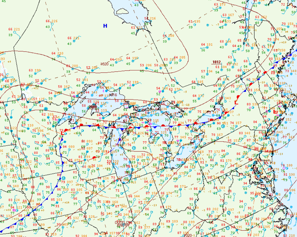
Figure 1 depicts the surface observations at 2:00 pm EDT, which shows a cold front moving through southern Ontario. This cold front was responsible for triggering thunderstorms in the afternoon hours of June 13th and ultimately this tornado.
Sources
NWS Weather Prediction Center Surface Analysis Archive. (2017). Surface analysis 18Z Wed Jun 13 2018. Retrieved from: https://www.wpc.ncep.noaa.gov/archives/web_pages/sfc/sfc_archive.php