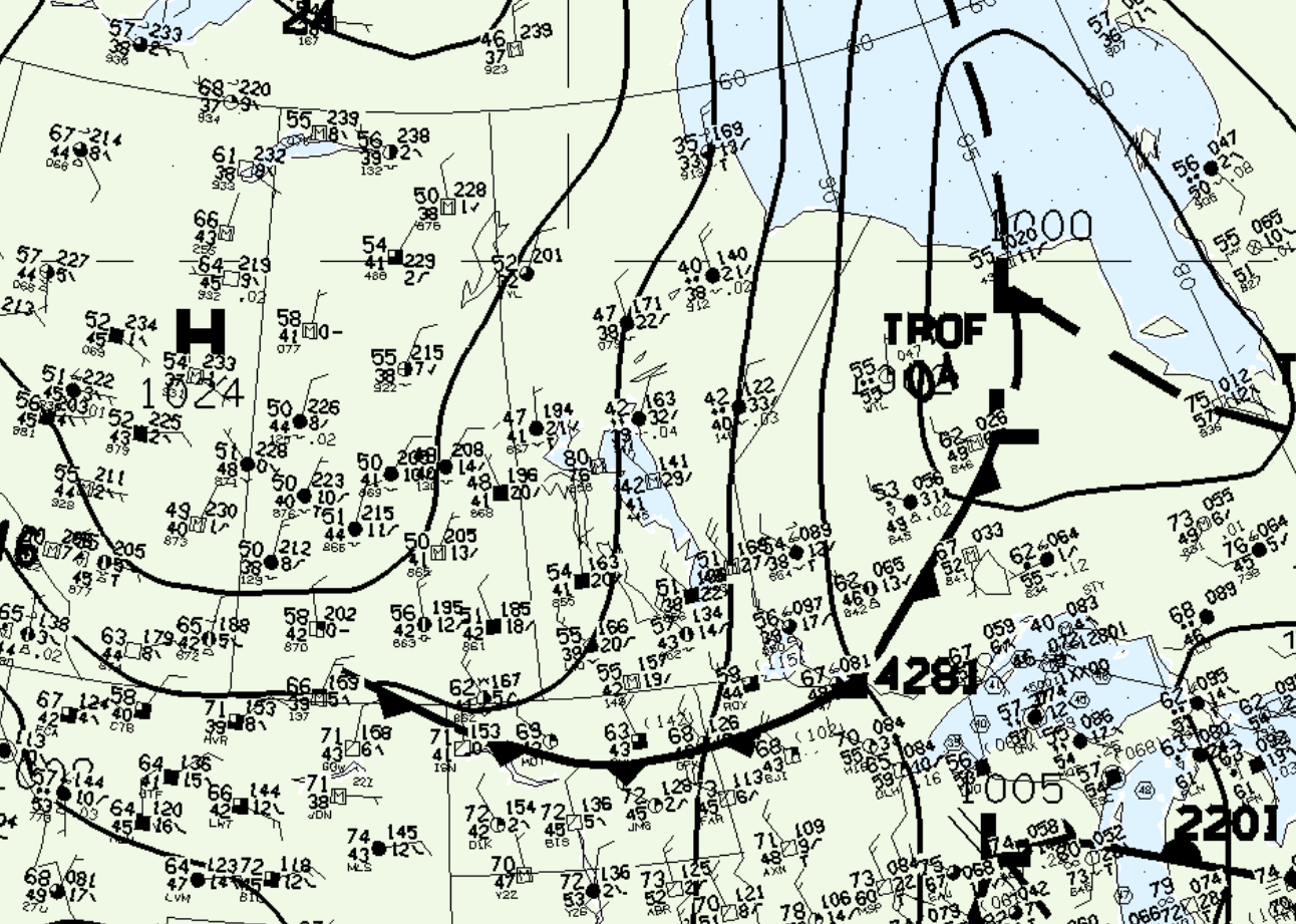
Figure 1 shows the surface observations at 7:00 pm CDT, which shows a cold front departing southern Manitoba and bringing northerly flow over the lakes. This would have induced lake-breeze boundaries (LBB) southeast of Lake Manitoba and Lake Winnipeg. The LBB from Lake Winnipeg likely triggered thunderstorms, which ultimately led to this tornado.

According to Environment and Climate Change Canada (2018), an F1 tornado touched down at 8:00 pm CDT near Oakbank, MB. The track and width of the tornado was not documented by ECCC. The tornado caused no fatalities, injuries or property damage.
Sources
NWS Weather Prediction Center Surface Analysis Archive. (2017). Surface analysis 00Z Sat Jun 22 1996. Retrieved from: https://www.wpc.ncep.noaa.gov/archives/web_pages/sfc/sfc_archive.php
Environment and Climate Change Canada Data. (2018). Canadian National Tornado Database: Verified Events (1980-2009) – Public. Retrieved from: http://donnees.ec.gc.ca/data/weather/products/canadian-national-tornado-database-verified-events-1980-2009-public/

