

At 12:00 pm, the tornado touched down north of Bowmanville and travelled for 7 km through rural Orono. Trees were snapped and uprooted, one barn was totally destroyed and another heavily damaged when it lost a portion of its roof. Witnesses captured photographs of the tornado, a large and dark multiple vortex.
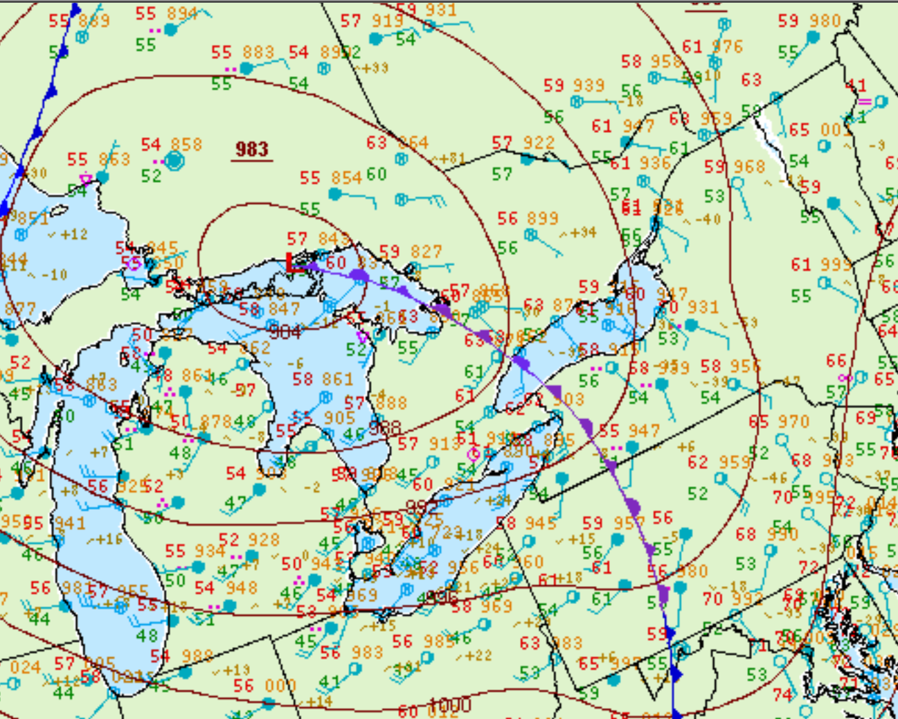
Figure 1 depicts the surface observations at 11:00 am EDT, which shows a strong low pressure system over the Great Lakes with a trowal extending across southern Ontario and over Lake Ontario. This trowal became the focus for intense thunderstorms in the early morning hours of September 28th, which ultimately led to this tornado.
According to Environment and Climate Change Canada (2018), an F1 tornado touched down at 12:00 pm in Orono, ON. The tornado travelled for 6.94 km, but its width was not documented by ECCC. The tornado caused no fatalities, injuries or property damage.
Sources
NWS Weather Prediction Center Surface Analysis Archive. (2017). Surface analysis 15Z Mon Sep 28 2009. Retrieved from: https://www.wpc.ncep.noaa.gov/archives/web_pages/sfc/sfc_archive.php
Environment and Climate Change Canada Data. (2018). Canadian National Tornado Database: Verified Events (1980-2009) – Public. Retrieved from: http://donnees.ec.gc.ca/data/weather/products/canadian-national-tornado-database-verified-events-1980-2009-public/