

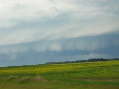
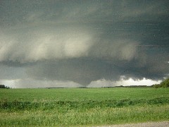
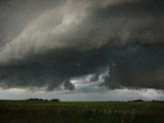
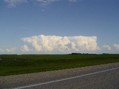
Figure 1 depicts the surface observations at 10:00 pm CDT, which shows a low pressure system in North Dakota with a warm front extending northeast across southeastern Manitoba. This warm front became the focus for intense thunderstorms across southern Manitoba in the evening hours of July 2nd, which ultimately led to this tornado.

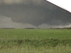
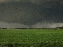
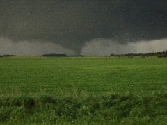
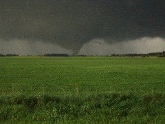
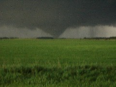
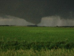
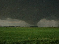
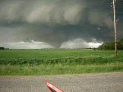
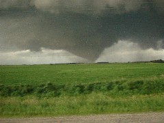
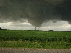
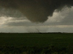
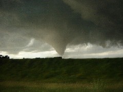
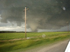
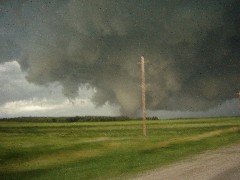
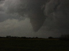
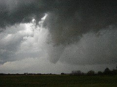
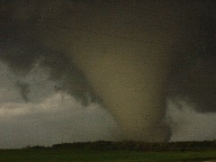
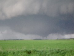
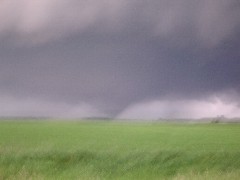
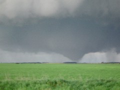
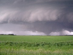
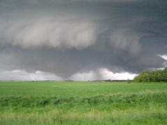
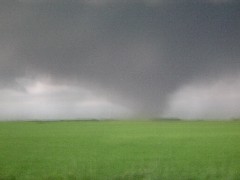
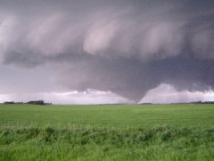
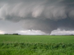
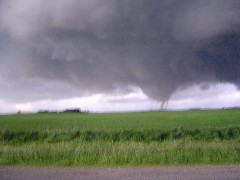
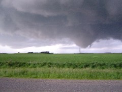
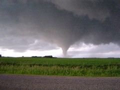
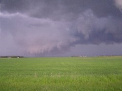
According to Environment and Climate Change Canada (2018), an F2 tornado touched down at 8:20 pm CDT north of Pilot Mound, MB. The tornado travelled for 9.15 km and had a maximum width of 1.3 km. The tornado caused no fatalities, injuries or documented property damage.
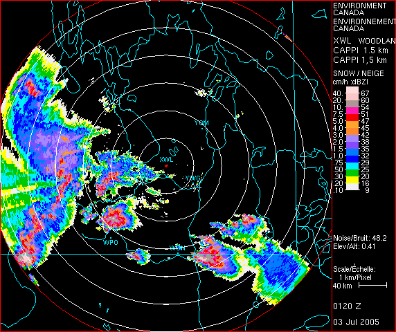
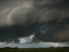
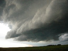
Figure 2 depicts an intense supercell on Doppler Radar at the time of the tornado.
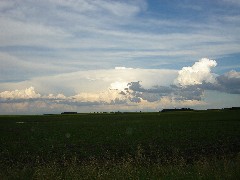
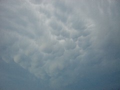
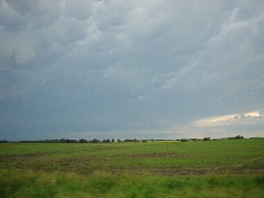
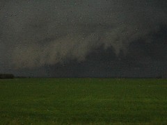
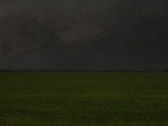
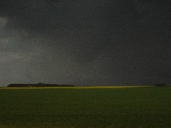
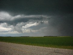
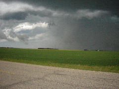
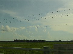
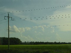
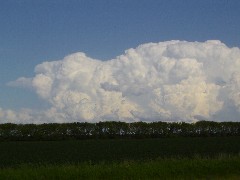
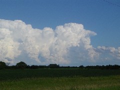
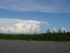
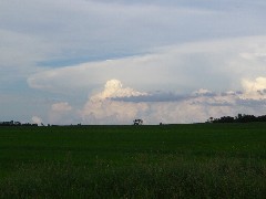
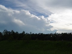
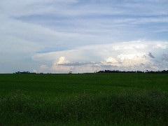
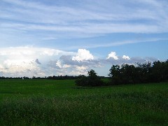
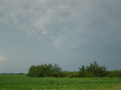
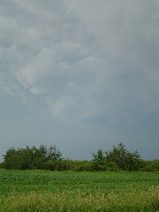
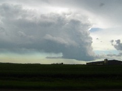
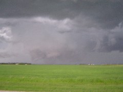
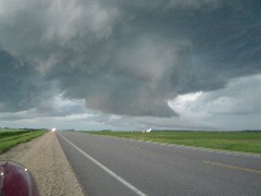
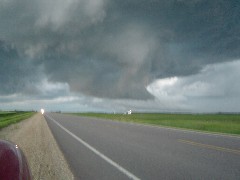
Pictures


Sources
NWS Weather Prediction Center Surface Analysis Archive. (2017). Surface analysis 03Z Sun Jul 3 2005. Retrieved from: https://www.wpc.ncep.noaa.gov/archives/web_pages/sfc/sfc_archive.php
Environment and Climate Change Canada Data. (2018). Canadian National Tornado Database: Verified Events (1980-2009) – Public. Retrieved from: http://donnees.ec.gc.ca/data/weather/products/canadian-national-tornado-database-verified-events-1980-2009-public/
University of Manitoba. (2010). The Pilot Mound supercell of July 2, 2005. Retrieved from http://www.umanitoba.ca/environment/envirogeog/weather/wpo.html
University of Manitoba. (2005). Pictures from the July 2, 2005 Pilot Mound tornado. Retrieved from http://www.umanitoba.ca/environment/envirogeog/weather/wpo.html