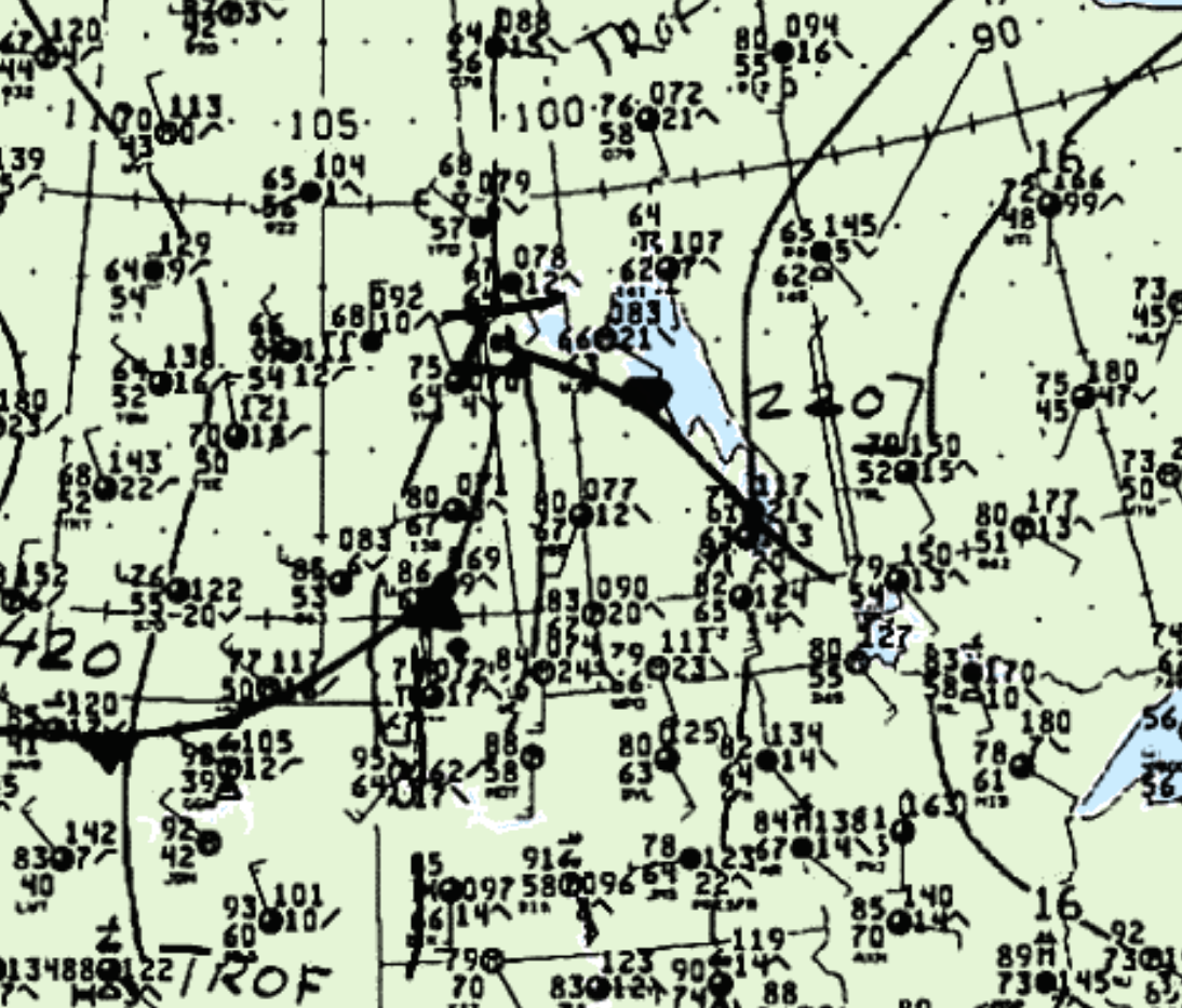
Figure 1 shows the surface observations at 4:00 pm CDT, which shows a low pressure on the Saskatchewan/Manitoba border with a cold front extending south across southern SK and a warm front extending southeast across Manitoba. The cold front became the focus for thunderstorms across western Manitoba, which ultimately led to this tornado.

According to Environment and Climate Change Canada (2018), an F0 tornado touched down at 5:50 pm CDT near Russell, MB. The track and width of the tornado was not documented by ECCC. The tornado caused no fatalities, injuries or property damage.
Sources
NWS Weather Prediction Center Surface Analysis Archive. (2017). Surface analysis 21Z Sun Jul 21 1991. Retrieved from: https://www.wpc.ncep.noaa.gov/archives/web_pages/sfc/sfc_archive.php
Environment and Climate Change Canada Data. (2018). Canadian National Tornado Database: Verified Events (1980-2009) – Public. Retrieved from: http://donnees.ec.gc.ca/data/weather/products/canadian-national-tornado-database-verified-events-1980-2009-public/

