

At 2:00 pm, the tornado touched down and then travelled for 3.8 kilometres. Trees were snapped, a barn roof was damaged and a small shed was totally demolished.
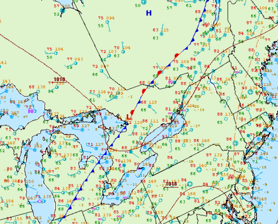
Figure 1 depicts the surface observations at 2:00 pm EDT, which shows a stationary front in southern Ontario and a cold front extending into southwestern Ontario. These fronts became the focus for thunderstorm development throughout the afternoon across southern Ontario, which ultimately led to this F0 tornado.
According to Environment and Climate Change Canada (2018), an F0 tornado touched down at 2:00 pm near Saintfield ON. The tornado travelled for 3.8 km, but its width was not documented by ECCC. The tornado caused no fatalities, injuries or property damage.
Sources
NWS Weather Prediction Center Surface Analysis Archive. (2017). Surface analysis 18Z Wed Aug 10 2005. Retrieved from: https://www.wpc.ncep.noaa.gov/archives/web_pages/sfc/sfc_archive.php
Environment and Climate Change Canada Data. (2018). Canadian National Tornado Database: Verified Events (1980-2009) – Public. Retrieved from: http://donnees.ec.gc.ca/data/weather/products/canadian-national-tornado-database-verified-events-1980-2009-public/