

Figure 1 shows the surface observations at 7:00 am CDT, which shows a low pressure system in northern Manitoba, a warm front moving north across northwestern Ontario and northern Manitoba and a cold front extending south into the Dakotas. The warm front was the focus for showers and thunderstorms in the morning hours (as seen below), but storms redeveloped along the cold front as it moved across eastern Manitoba. Storms along the cold front were the cause of this tornado near Shamattawa.
According to Environment and Climate Change Canada (2018), an F0 tornado touched down at 3:00 pm CDT near Shamattawa, MB. The track and width of this tornado was not documented by ECCC. The tornado caused no injuries, fatalities or property damage.
Sources
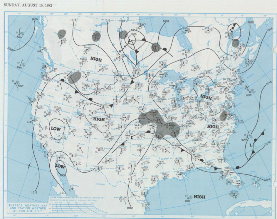
NOAA Central Library. (2020). U.S. Daily Weather Maps. Sunday August 15, 1982 [PDF]. Retrieved from https://library.noaa.gov/Collections/Digital-Collections/US-Daily-Weather-Maps
Environment and Climate Change Canada Data. (2018). Canadian National Tornado Database: Verified Events (1980-2009) – Public. Retrieved from: http://donnees.ec.gc.ca/data/weather/products/canadian-national-tornado-database-verified-events-1980-2009-public/