National Centers for Environmental Information reports:

A supercell thunderstorm developed over western Massachusetts. This storm strengthened and produced a long-lived, very significant tornado that did extensive damage across southwest and south central Massachusetts.
This storm will be noted not only for its intensity, but also for the length of the continuous damage path, approximately 38 miles, 31 of which were in Hampden County. The tornado was also very wide at some points, reaching a maximum width of one half mile.
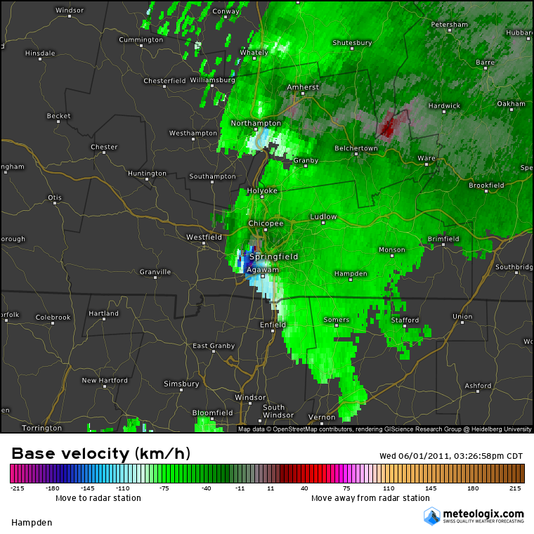
The tornado first touched down in the Munger Hill section of Westfield with damage mainly limited to trees, many uprooted and snapped. The roof of Munger Hill Elementary School was also damaged. The tornado rapidly intensified as it moved into West Springfield and caused extensive damage to industrial buildings and homes. Several buildings had their roofs removed by the tornado, a few structures collapsed, and several multi-story buildings lost their upper stories.
The tornado then crossed the Connecticut River adjacent to the Memorial Avenue bridge and into the city of Springfield. Here the tornado produced extensive damage to the south side of the downtown area with many homes destroyed. In addition, commercial brick buildings sustained major damage. Roofs were removed from many of these large commercial structures. The tornado also produced severe structural damage to townhomes and apartments near Springfield College. The tornado continued moving east into the Island Pond section of Springfield, where Cathedral High School and St. Michael's Academy sustained significant damage and many homes in this part of the city were completely destroyed.
The tornado continued to move east through Wilbraham near the Wilbraham/Hampden town line producing nearly complete deforestation and significant damage to nearby structures.
Widespread damage occurred in Monson as the tornado moved directly through the center of town. Many houses were completely destroyed and significant damage was done to commercial and residential buildings. The roof of Monson High School was destroyed. Forested parts of town experienced nearly complete deforestation and in some locations the bark was stripped from the tree trunks.
The tornado moved across the Brimfield State Forest where it reached its maximum width of approximately one half mile. Additional significant damage occurred both to structures and forested areas for many miles through Brimfield before crossing into Worcester County just south of Route 20.
Three fatalities were directly attributable to the tornado, two in West Springfield and one in Brimfield. A thirty-nine year old woman in West Springfield was killed when her house collapsed on her while she sheltered her 15 year old daughter in the bathtub. Also in West Springfield, a twenty-three year old man was killed when his van was crushed by a falling tree. A fifty-two year old woman in Brimfield was killed when the trailer home she was living in was thrown 35 feet into the air. In addition, two hundred people were treated for injuries sustained in the tornado.
It was estimated that 1400 houses and at least 78 businesses were either damaged or destroyed. Of these 1400 houses, roughly 300 of them had been completely destroyed, including about 200 in Springfield, 51 in Monson, 39 in Brimfield, and 13 in Wilbraham. Two hundred residential buildings were condemned and more than 300 rental units were lost throughout western Massachusetts.
Two public schools in Springfield and one in Westfield were severely damaged by the tornado. At least two parochial schools were also destroyed. The students attending these schools were temporarily assigned to other area schools for the remainder of the school year. Public school students will begin the 2011-2012 school year in modular buildings on the site of their former school buildings and parochial students will be travelling to temporary locations, some outside their home city.
Nearly 10,000 acres of woodlands were destoyed with the Massachusetts Forest Landowners Association estimating a clean up cost of $3.6 million. This is included in the property damage estimate. In Springfield alone, 7500 mature trees were uprooted or destroyed.
Shelters that opened across western Massachusetts on June 1, sheltered a total of 330 residents for a total of 30 days.
President Obama issued a Major Disaster Declaration for Hampden County shortly after the tornado.
The Massachusetts Division of Insurance reported that 9500 insurance claims were completed by residents as a result of the June 1 tornadoes, adding up to $175 million worth of damage. This included 5000 personal insurance claims totalling $135 million, 3500 automobile claims totalling $20 million, and 1000 commercial property claims totalling $20 million. These damage amounts are also included in the property damage estimates with this event.
Property damage estimates, injuries, and fatalities are a total for the entire June 1 episode with the majority of the damage and all of the injuries and fatalities directly related to this long track EF3 tornado. The remainder of the property damage listed on this event can be attributed to one of the other 3 tornadoes that occurred in western Massachusetts on June 1.
A supercell thunderstorm developed over western Massachusetts. This storm strengthened and produced a long-lived, very significant tornado that did extensive damage across southwest and south central Massachusetts.
This storm will be noted not only for its intensity, but also for the length of the continuous damage path, approximately 38 miles, the last 6 of which were in Worcester County. The tornado was also very wide at some points, reaching a maximum width of one half mile.
Once the tornado moved into the Brimfield State Forest, significant damage occurred to both structures and forested areas for several miles before the tornado reached the Southbridge Municipal Airport. Here numerous aircraft were lifted off the ground and into the woods east of the airport. The tornado continued east before lifting in the southwest part of Charlton.
The majority of the damage done by this tornado was done during the first 31 miles of the track, in Hampden County. All of the property damage, injuries, and fatalities are accounted for in the Hampden County portion of the tornado. The majority of the property damage and injuries, and all of the fatalities occurred in Hampden County. However, there was enough damage in Sturbridge and Southbridge that President Obama amended his original disaster declaration for Hampden County to include Sturbridge and Southbridge.