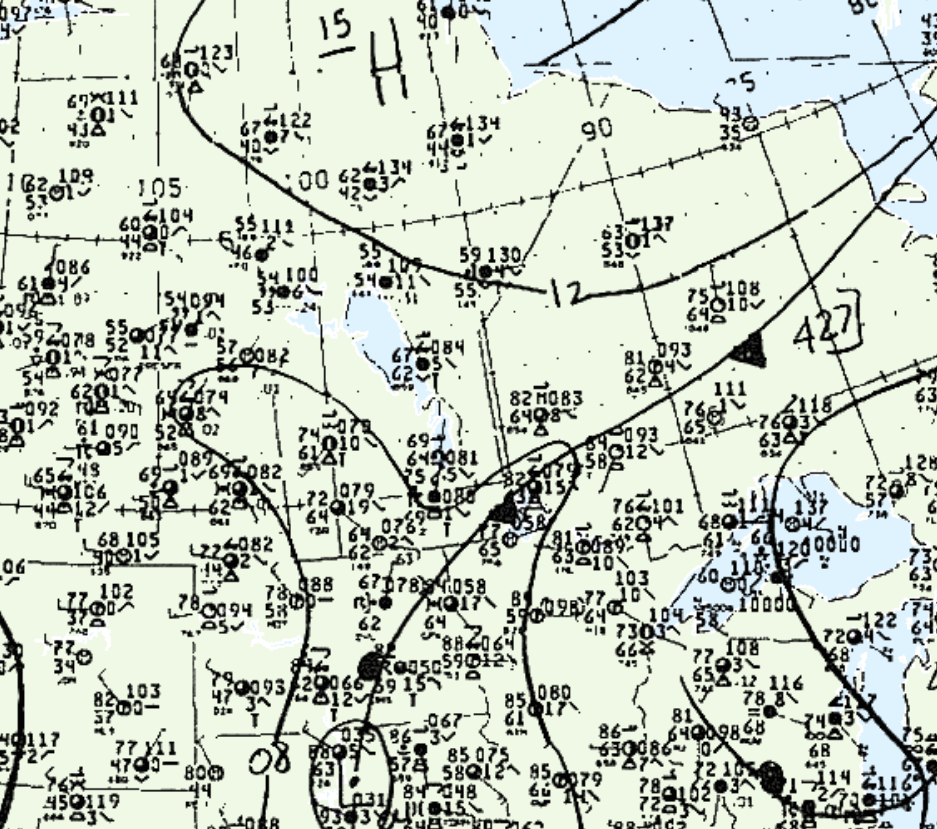
Figure 1 shows the surface observations at 7:00 pm CDT, which shows a cold front exiting southeastern Manitoba. This front brought northerly flow over the lakes, which likely initiated some lake-breeze boundaries (LBB). These LBB likely triggered more storms across southeastern Manitoba, which ultimately led to two F1 tornadoes across Manitoba on this day.

According to Environment and Climate Change Canada (2018), an F1 tornado touched down at 7:30 pm CDT south of the City of Winnipeg, MB. The track and width of the tornado was not documented by ECCC. The tornado caused no fatalities, injuries or property damage.
Sources
NWS Weather Prediction Center Surface Analysis Archive. (2017). Surface analysis 00Z Tue Jul 7 1987. Retrieved from: https://www.wpc.ncep.noaa.gov/archives/web_pages/sfc/sfc_archive.php
Environment and Climate Change Canada Data. (2018). Canadian National Tornado Database: Verified Events (1980-2009) – Public. Retrieved from: http://donnees.ec.gc.ca/data/weather/products/canadian-national-tornado-database-verified-events-1980-2009-public/

