

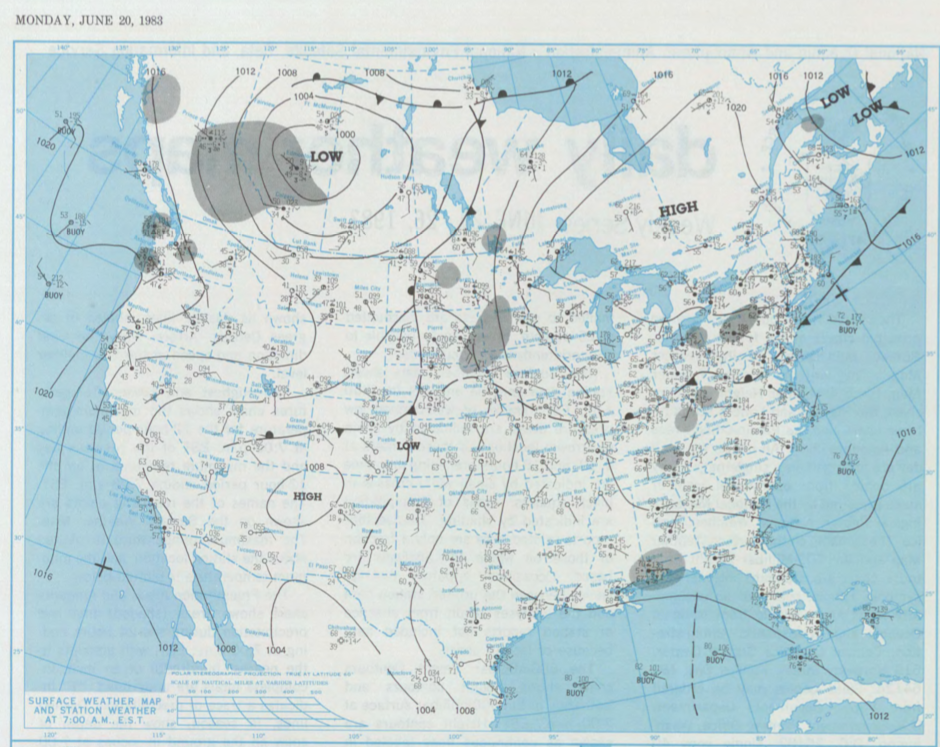
Figure 1 shows the surface observations at 7:00 am CDT, which shows large area of low pressure in Alberta, a cold front moving across eastern Manitoba and a warm front across western North Dakota. It appears that the cold front became stationary throughout the day, thereby spawning some thunderstorms across southeastern Manitoba, which ultimately led to two tornadoes on this day.
According to Environment and Climate Change Canada (2018), an F0 tornado touched down at 8:00 pm CDT in Tyndall, MB. The track and width of this tornado was not documented by ECCC. The tornado caused no injuries, fatalities or property damage.
Sources
NOAA Central Library. (2020). U.S. Daily Weather Maps. Monday June 20, 1983 [PDF]. Retrieved from https://library.noaa.gov/Collections/Digital-Collections/US-Daily-Weather-Maps
Environment and Climate Change Canada Data. (2018). Canadian National Tornado Database: Verified Events (1980-2009) – Public. Retrieved from: http://donnees.ec.gc.ca/data/weather/products/canadian-national-tornado-database-verified-events-1980-2009-public/