

Figure 1 shows the surface observations at 7:00 am CDT, which shows a stationary front across southern Manitoba. This stationary front became the focus for intense thunderstorms in the afternoon hours of July 8th, which ultimately led to four tornadoes on this day.
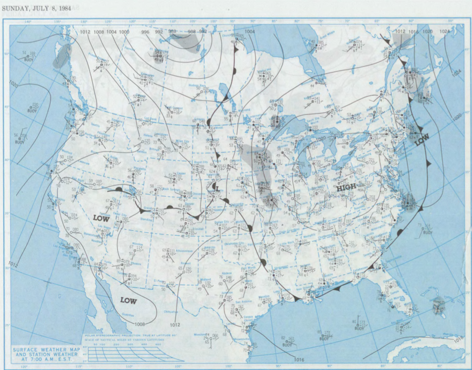
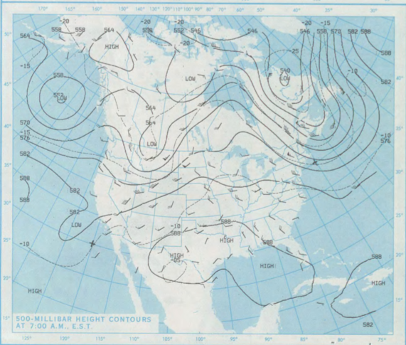
Figure 2 depicts the upper-level pattern and the trough of low pressure across the Prairie Provinces, which was bringing southerly flow across Manitoba.
According to Environment and Climate Change Canada (2018), an F0 tornado touched down at 1:30 pm CDT in Virden, MB. The track and width of the tornado was not documented by ECCC. The tornado caused no injuries, fatalities or property damage.
Sources
NOAA Central Library. (2020). U.S. Daily Weather Maps. Friday July 8, 1984 [PDF]. Retrieved from https://library.noaa.gov/Collections/Digital-Collections/US-Daily-Weather-Maps
Environment and Climate Change Canada Data. (2018). Canadian National Tornado Database: Verified Events (1980-2009) – Public. Retrieved from: http://donnees.ec.gc.ca/data/weather/products/canadian-national-tornado-database-verified-events-1980-2009-public/