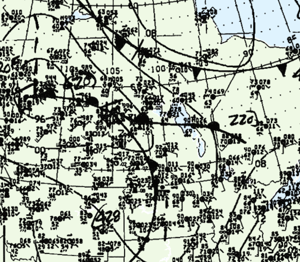
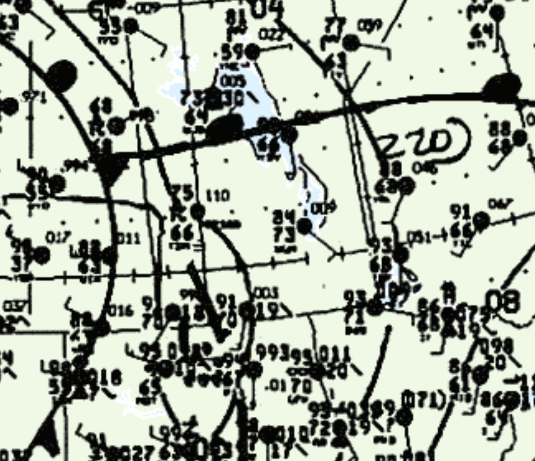
Figure 1 shows the surface observations at 1:00 pm CDT, which shows an occluding low pressure system over Alberta with an extending cold front into southeastern Saskatchewan and a warm front extending east into central Manitoba. Figure 2 also shows ongoing thunderstorms (marked as “R”) at 4:00 pm CDT at Wasagaming and along the warm front in Yorkton, SK. While Environment Canada did not document the date/time of this tornado,we believe that the thunderstorm along the cold front in Wasagaming spawned this tornado.

According to Environment and Climate Change Canada (2018), an F0 tornado touched down near Wasagaming, MB. The track, width, time and date of the tornado was not documented by ECCC. The tornado caused no fatalities, injuries or property damage. Only the month and start lat/lon were documented by ECCC.

Sources
NWS Weather Prediction Center Surface Analysis Archive. (2017). Surface analysis 18Z and 21Z Wed Aug 2 1989. Retrieved from: https://www.wpc.ncep.noaa.gov/archives/web_pages/sfc/sfc_archive.php
Environment and Climate Change Canada Data. (2018). Canadian National Tornado Database: Verified Events (1980-2009) – Public. Retrieved from: http://donnees.ec.gc.ca/data/weather/products/canadian-national-tornado-database-verified-events-1980-2009-public/

