

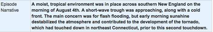
Figure 1 depicts the surface observations at 8:00 am EDT, which shows a moist and tropical environment in place across Massachusetts. A cold front moved through the area and triggered thunderstorms, which ultimately led to this EF1 tornado.

The Webster, MA EF1 tornado of August 4, 2018 impacted Worcester County in Massachusetts. According to NOAA (2020), the EF1 tornado caused no fatalities, but injured 1 person and caused $5 million dollars in property damage. The tornado touched down near Schofield Avenue at 9:59 am EDT. The tornado travelled for 0.47 miles and had a maximum width of 300 yards.
Sources
NWS Weather Prediction Center Surface Analysis Archive. (2017). Surface analysis 12Z Sat Aug 4 2018 Retrieved from: https://www.wpc.ncep.noaa.gov/archives/web_pages/sfc/sfc_archive.php
NOAA National Centers for Environmental Information (2020). Storm Events Database. Retrieved from: https://www.ncdc.noaa.gov/stormevents/