

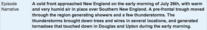
Figure 1 depicts the surface observations at 11:00 pm EDT, which shows an approaching cold front with warm/humid air in place across Massachusetts. This front triggered thunderstorms across the state in the early morning hours of July 26th, which ultimately led to two EF1 tornadoes.

The Whitinsville, MA EF1 tornado of July 26, 2018 impacted Worcester County in Massachusetts. According to NOAA (2020), the EF1 tornado caused no fatalities or injuries, but caused $25 thousand dollars in property damage. The tornado touched down near Maple Street at 2:32 am EDT. The tornado travelled for 4.4 miles and had a maximum width of 200 yards.
Sources
NWS Weather Prediction Center Surface Analysis Archive. (2017). Surface analysis 03Z Thu Jul 26 2018. Retrieved from: https://www.wpc.ncep.noaa.gov/archives/web_pages/sfc/sfc_archive.php
NOAA National Centers for Environmental Information (2020). Storm Events Database. Retrieved from: https://www.ncdc.noaa.gov/stormevents/