Published on
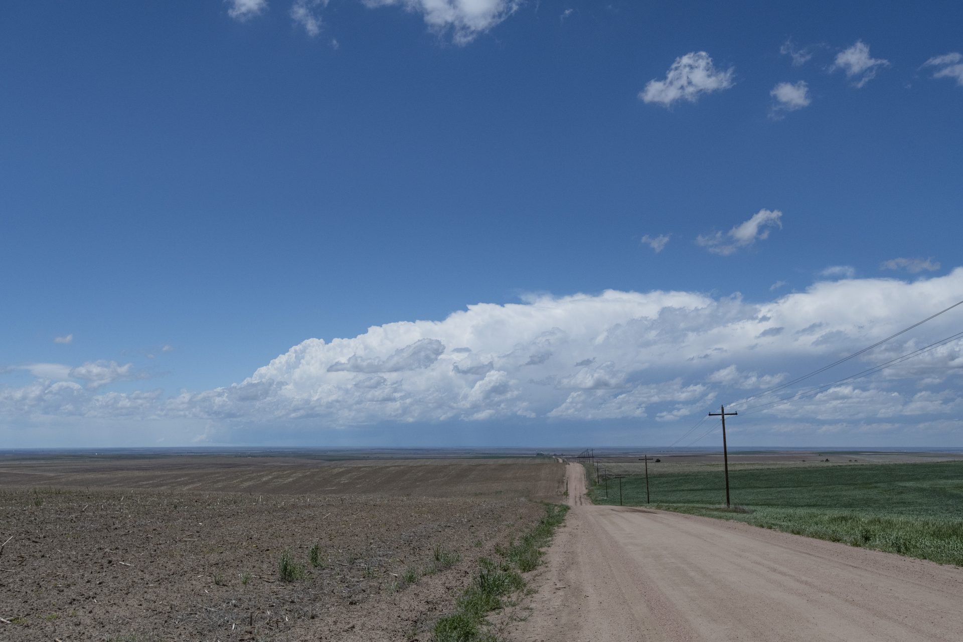
It always begins by Bennett: A storm is born and our Colorado chase day begins
Let the structure-fest begin
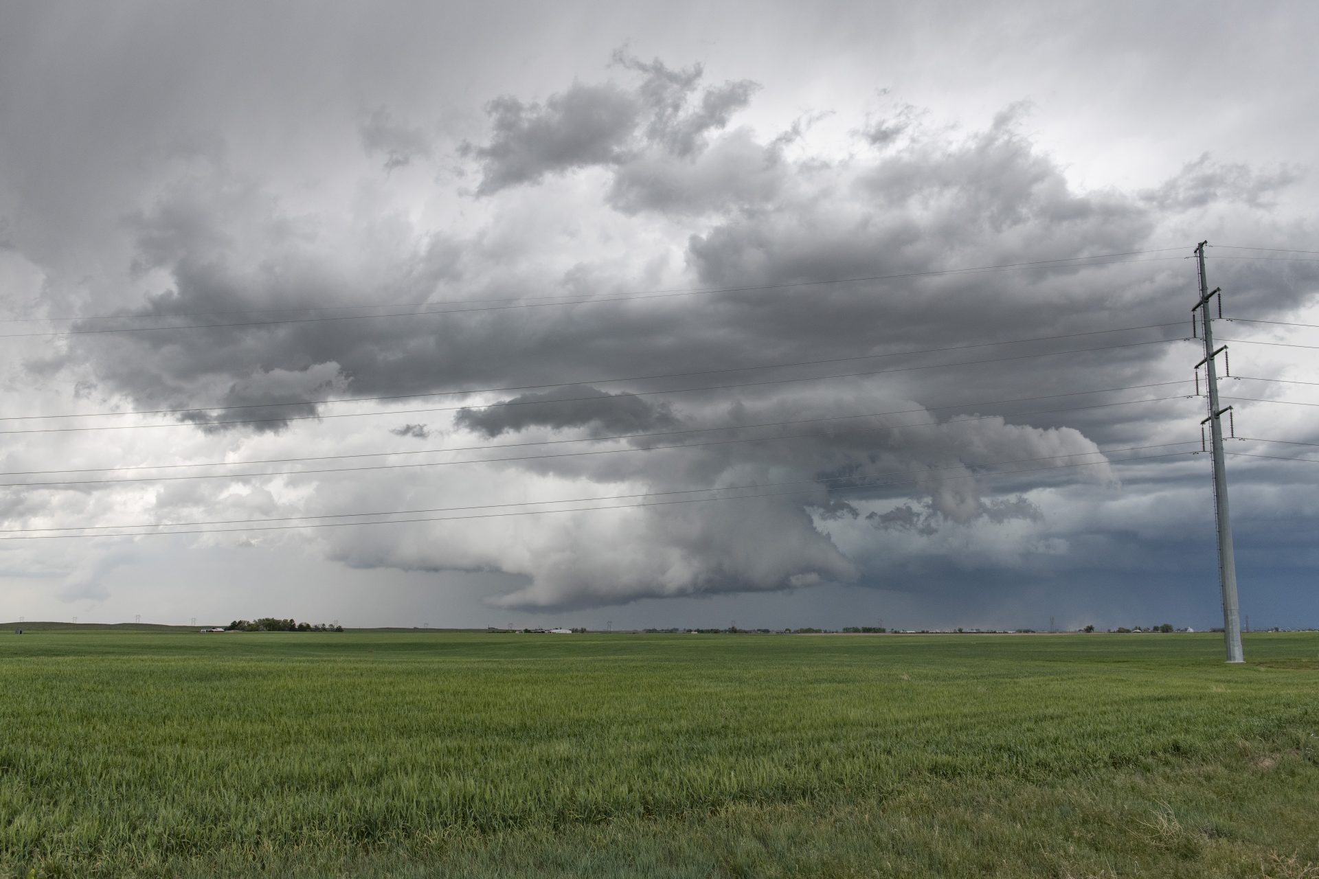
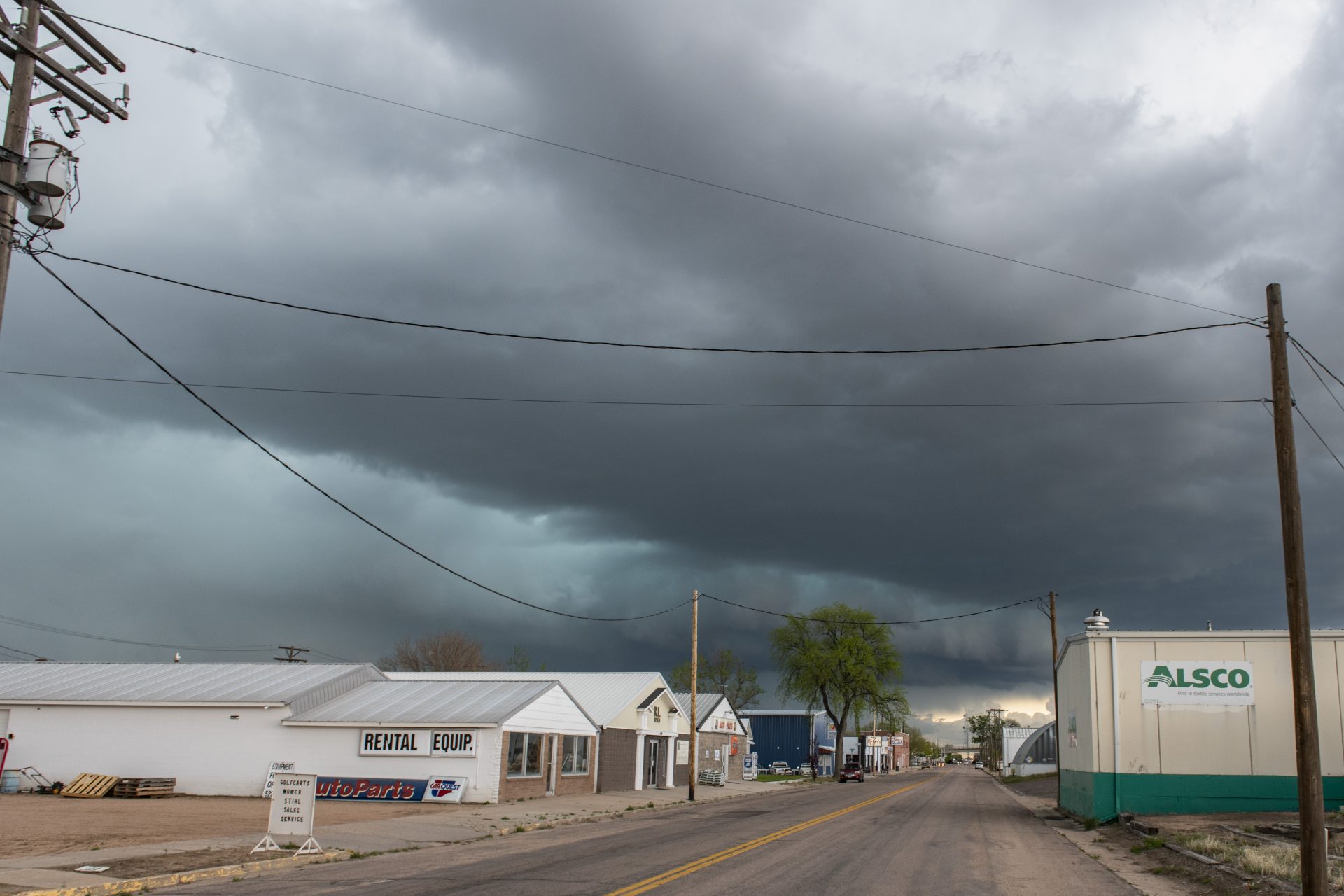
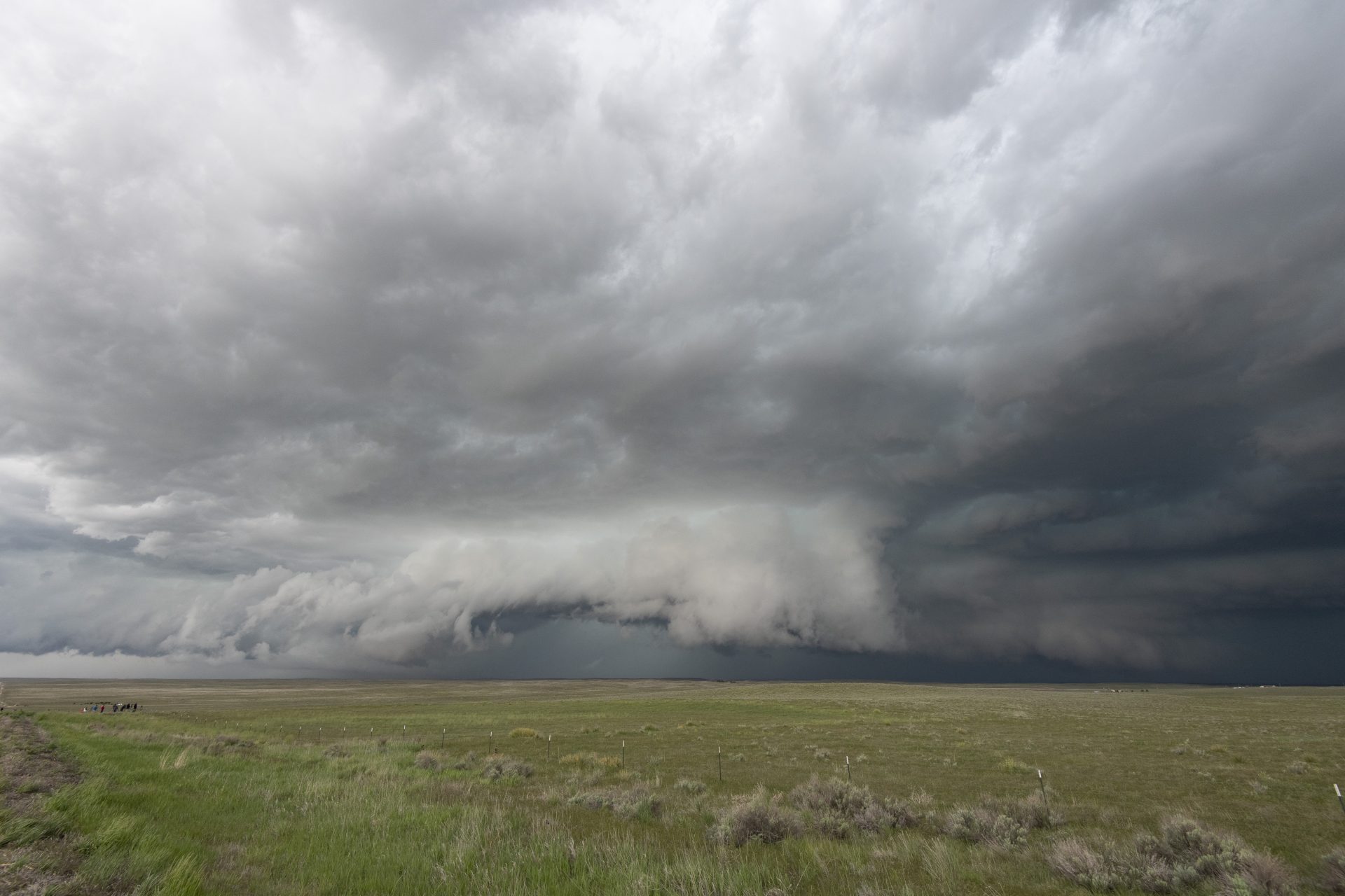
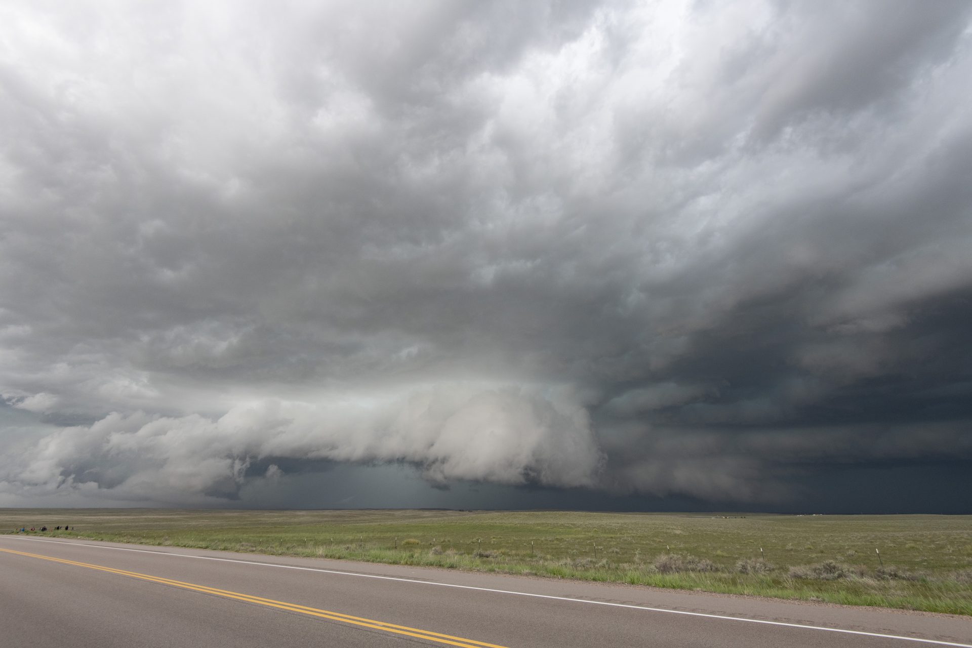
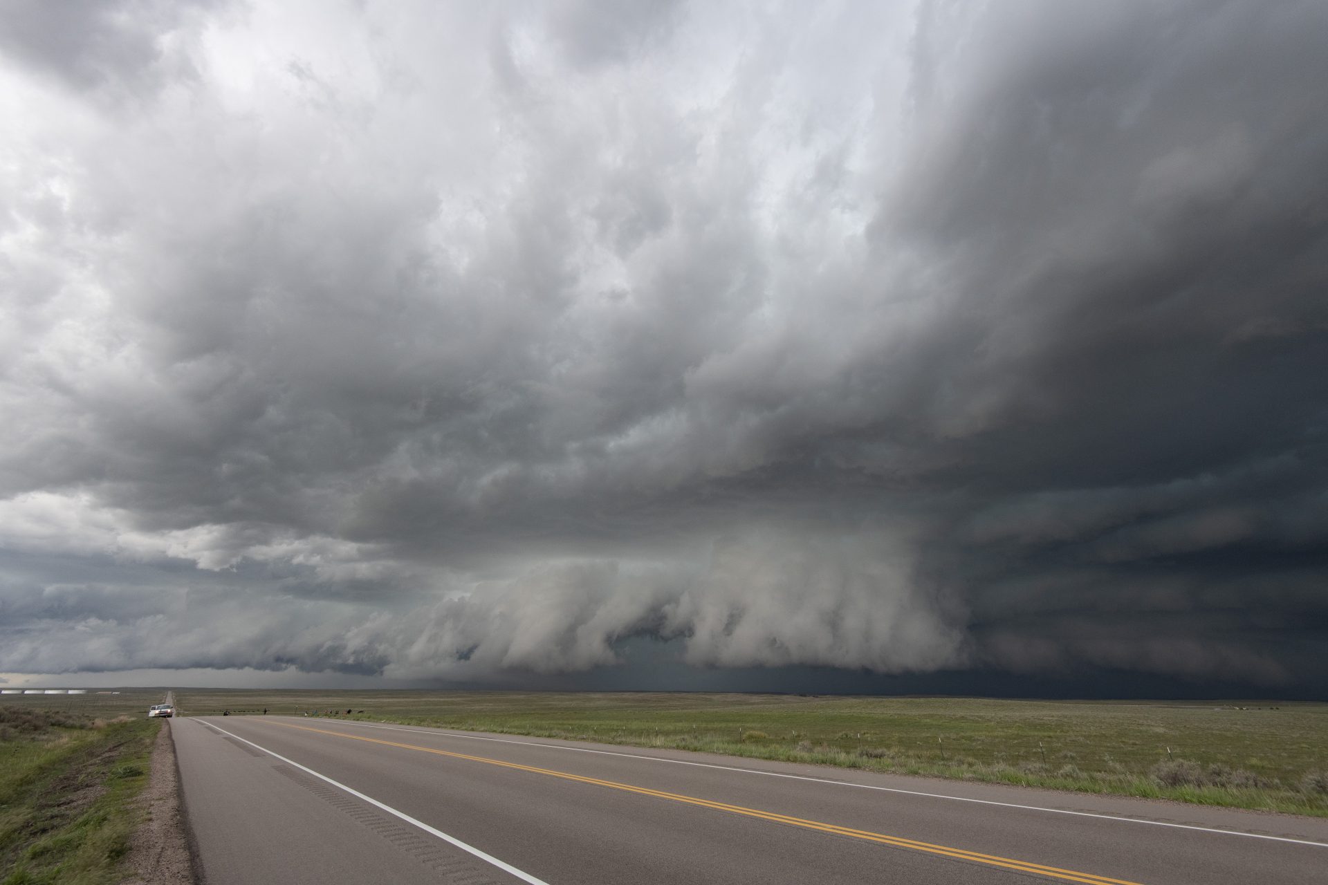
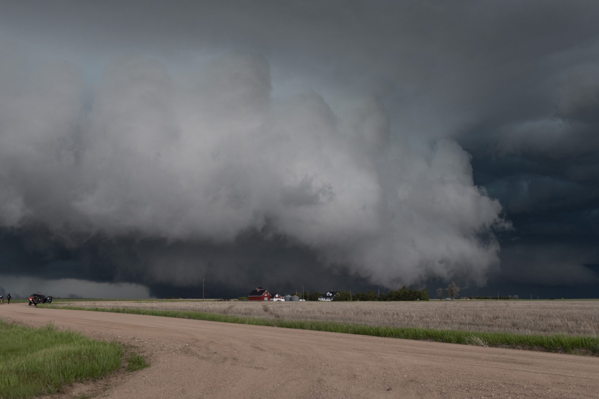
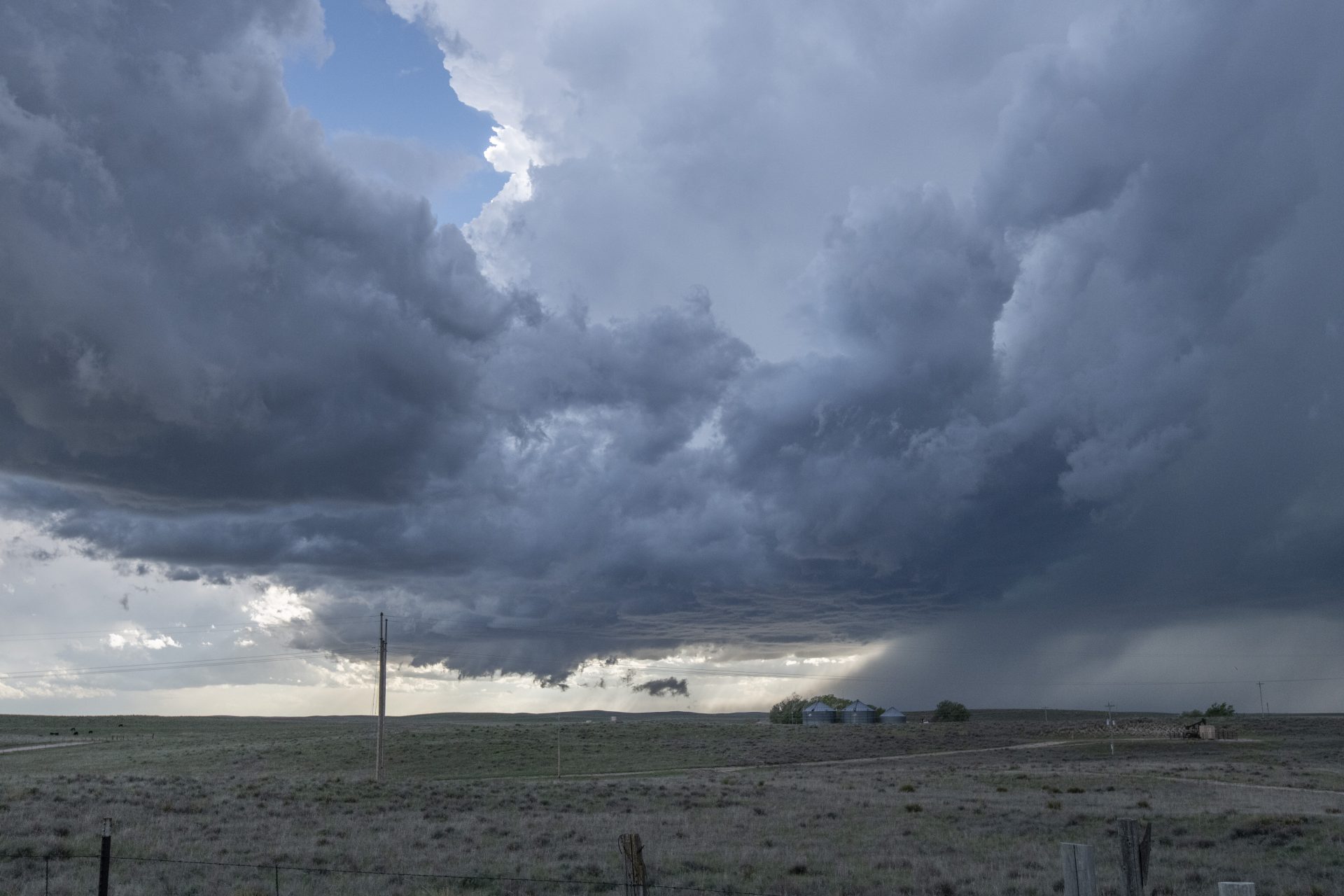
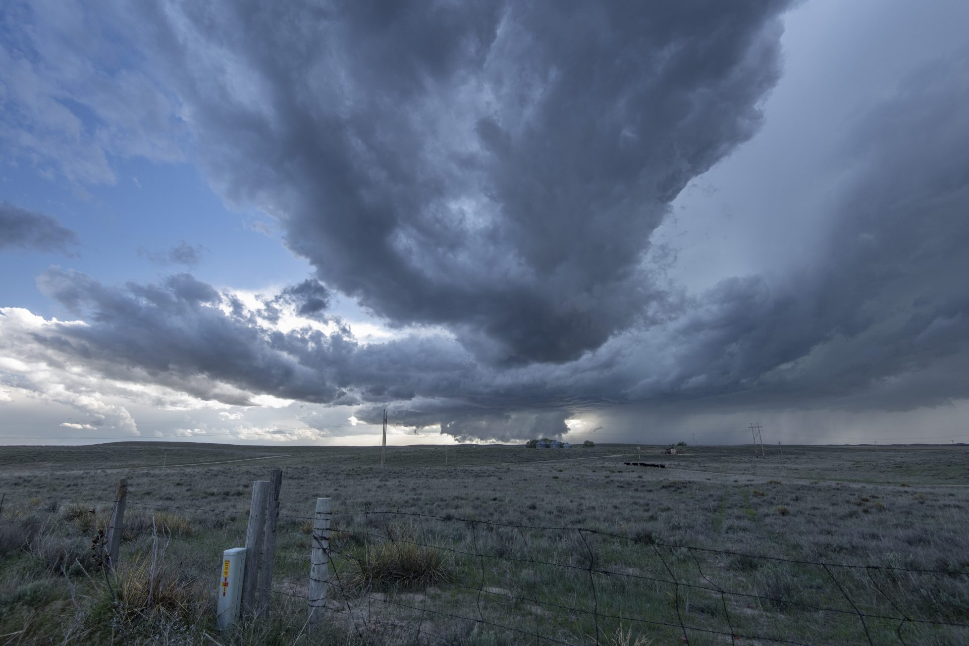
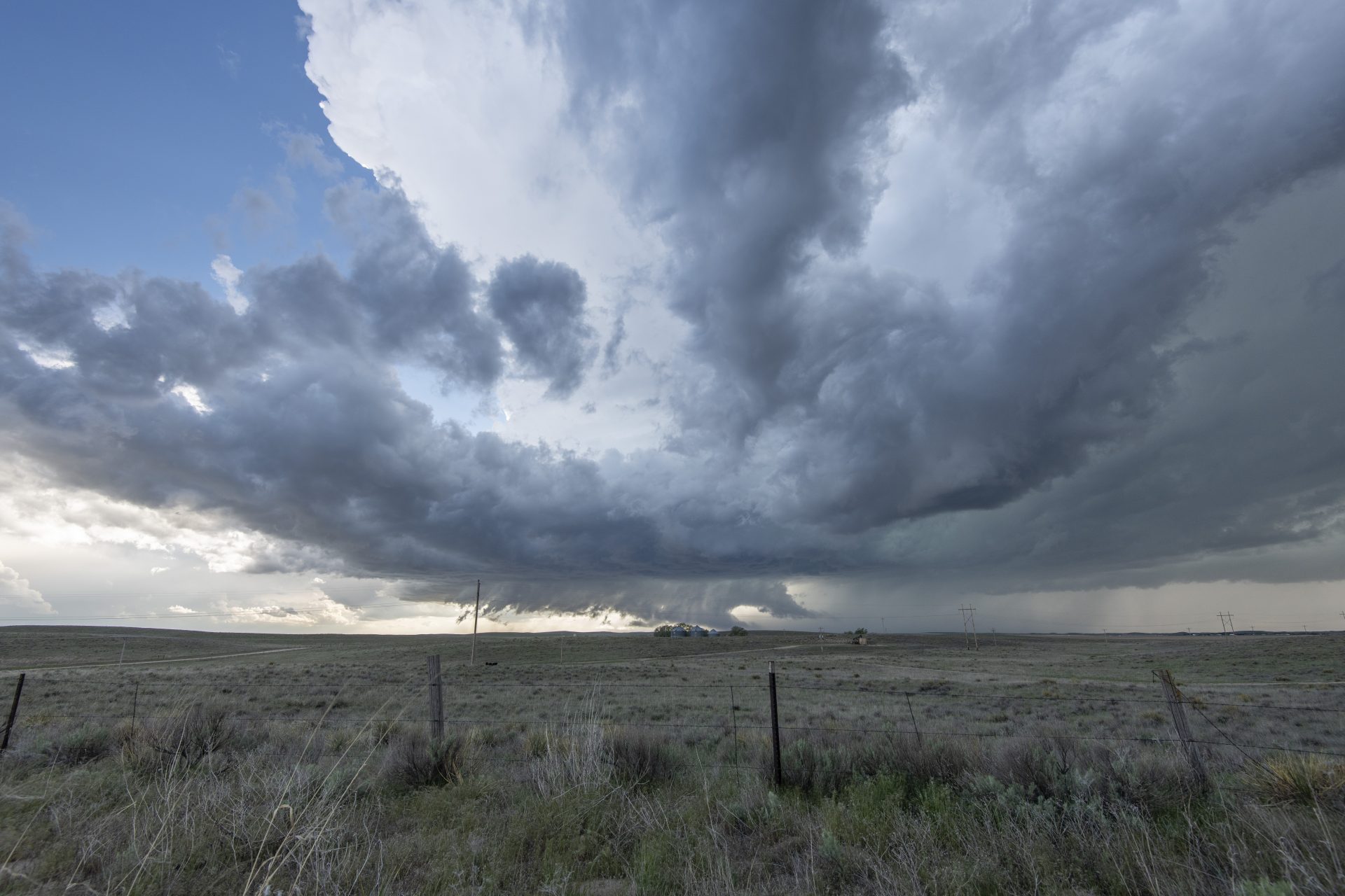
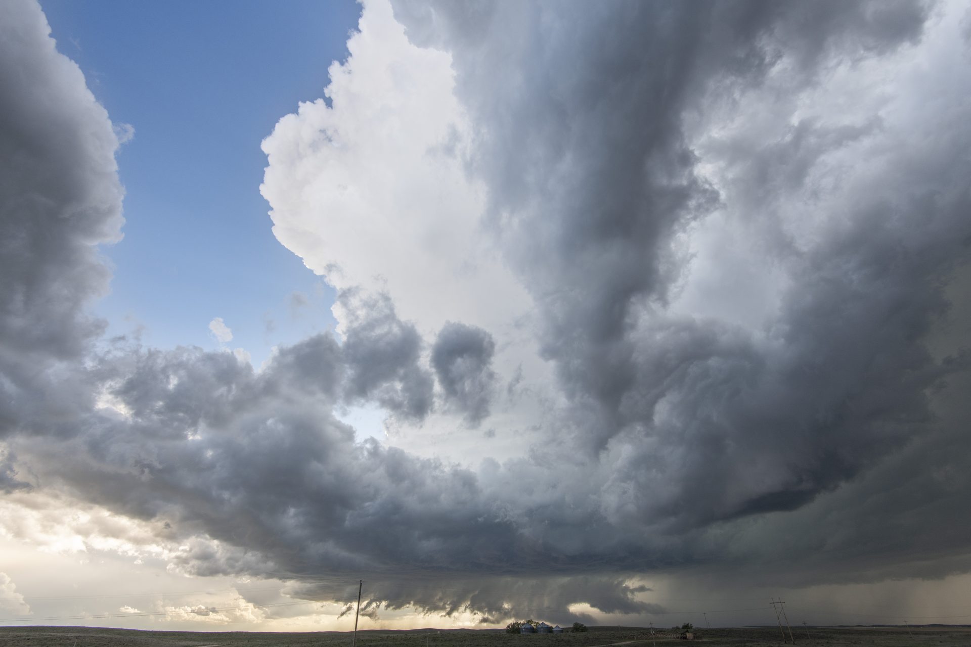
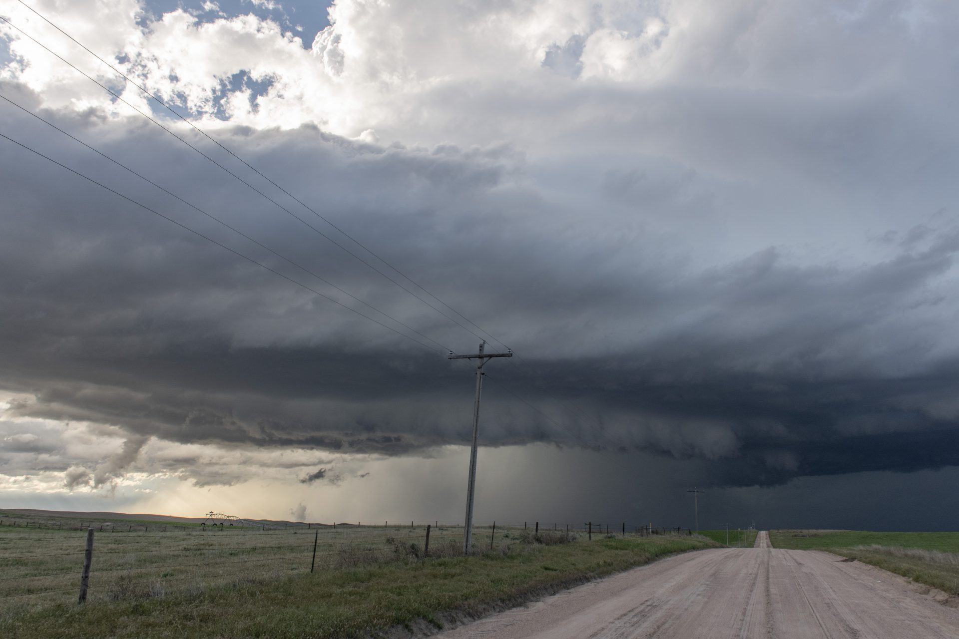
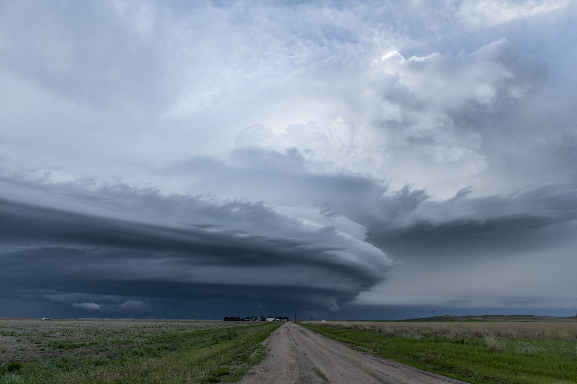
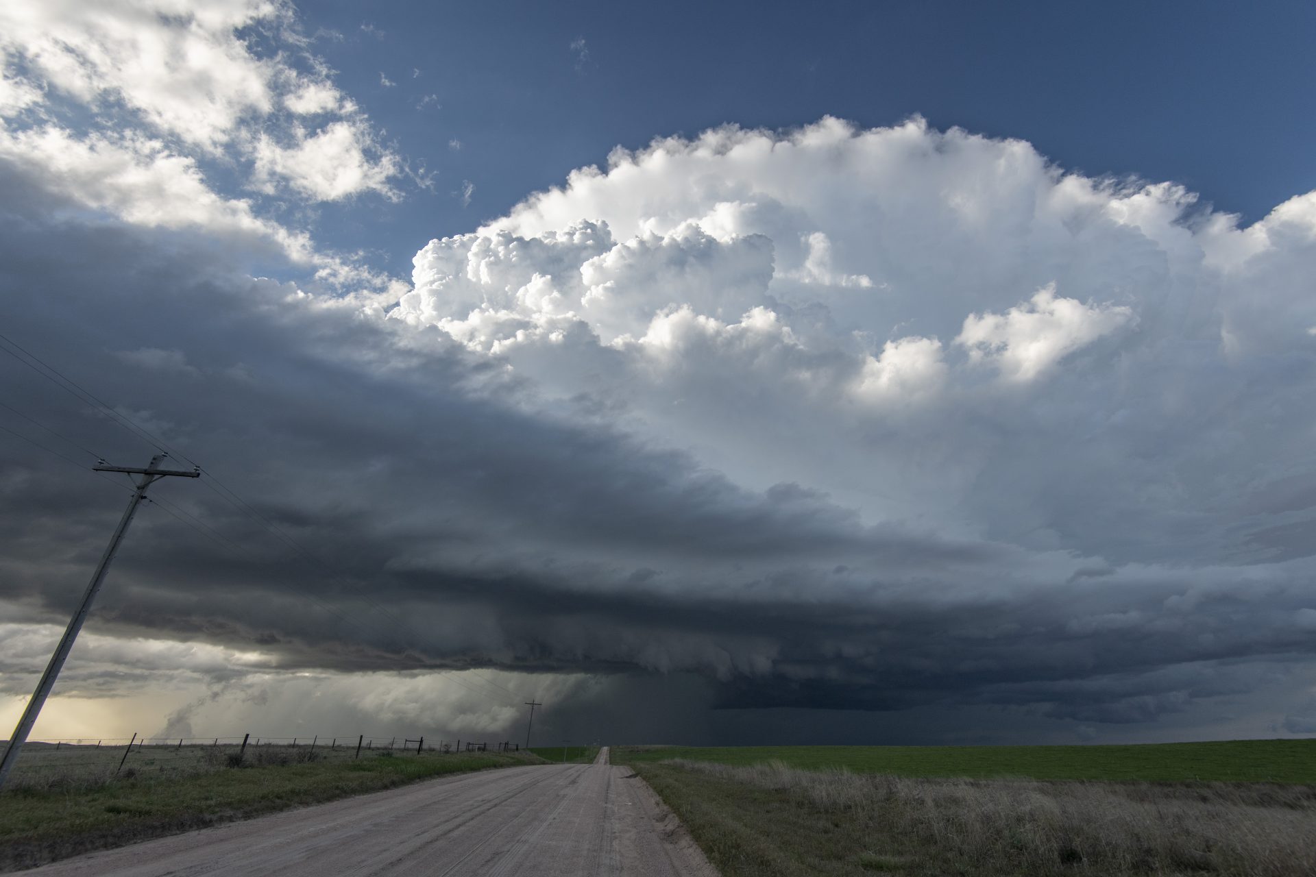
We paralleled the storm as it approached Galien, then positioned to take in its awesome supercell structure as we let it approach. An inflow tail surged in from the right to meet the now rapidly-rotating wall cloud.
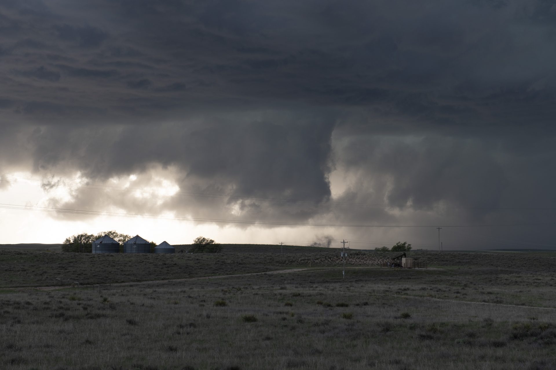
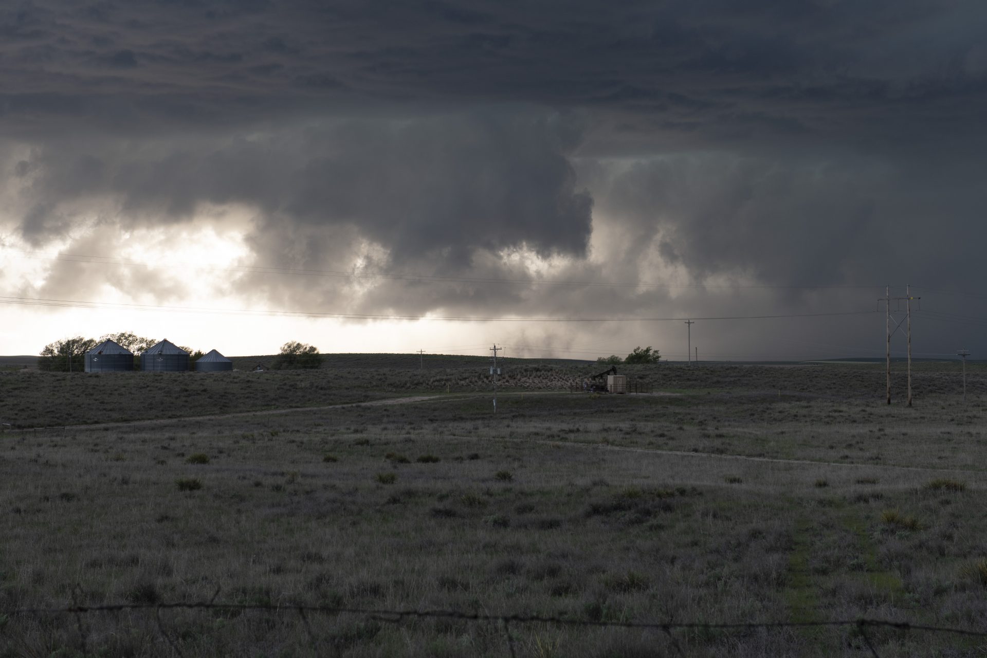
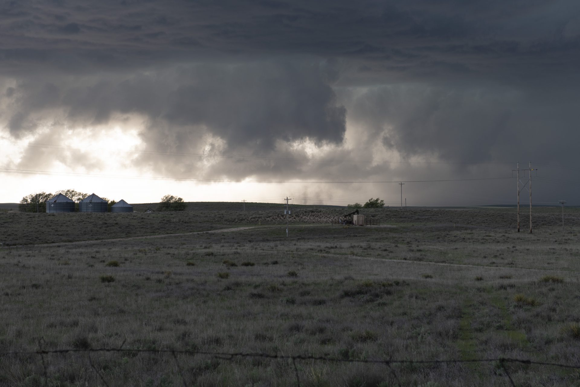
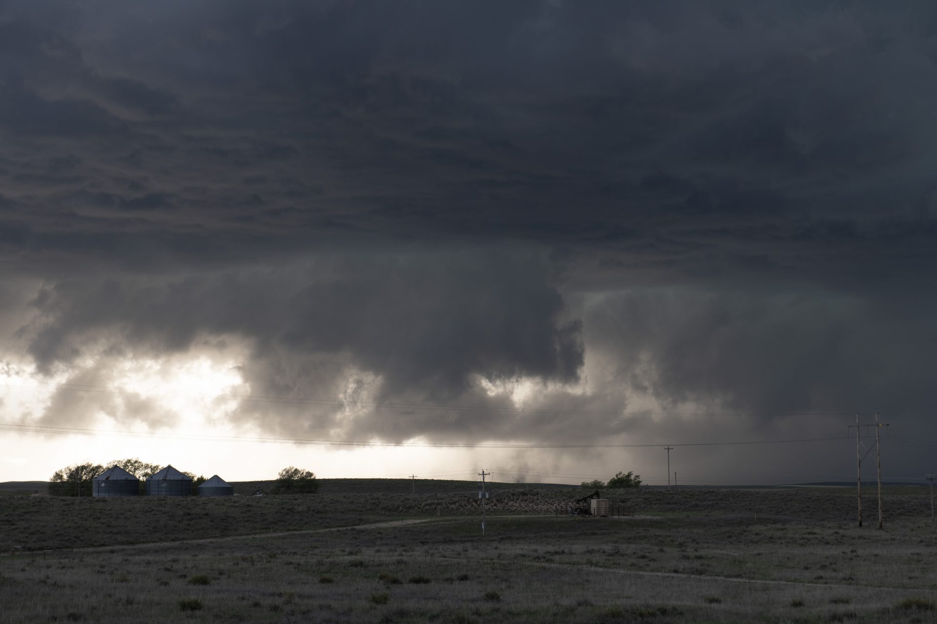
A ground-scraping meso and possible wedge tornado
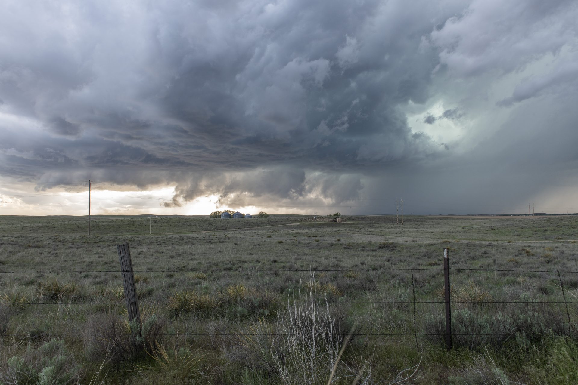
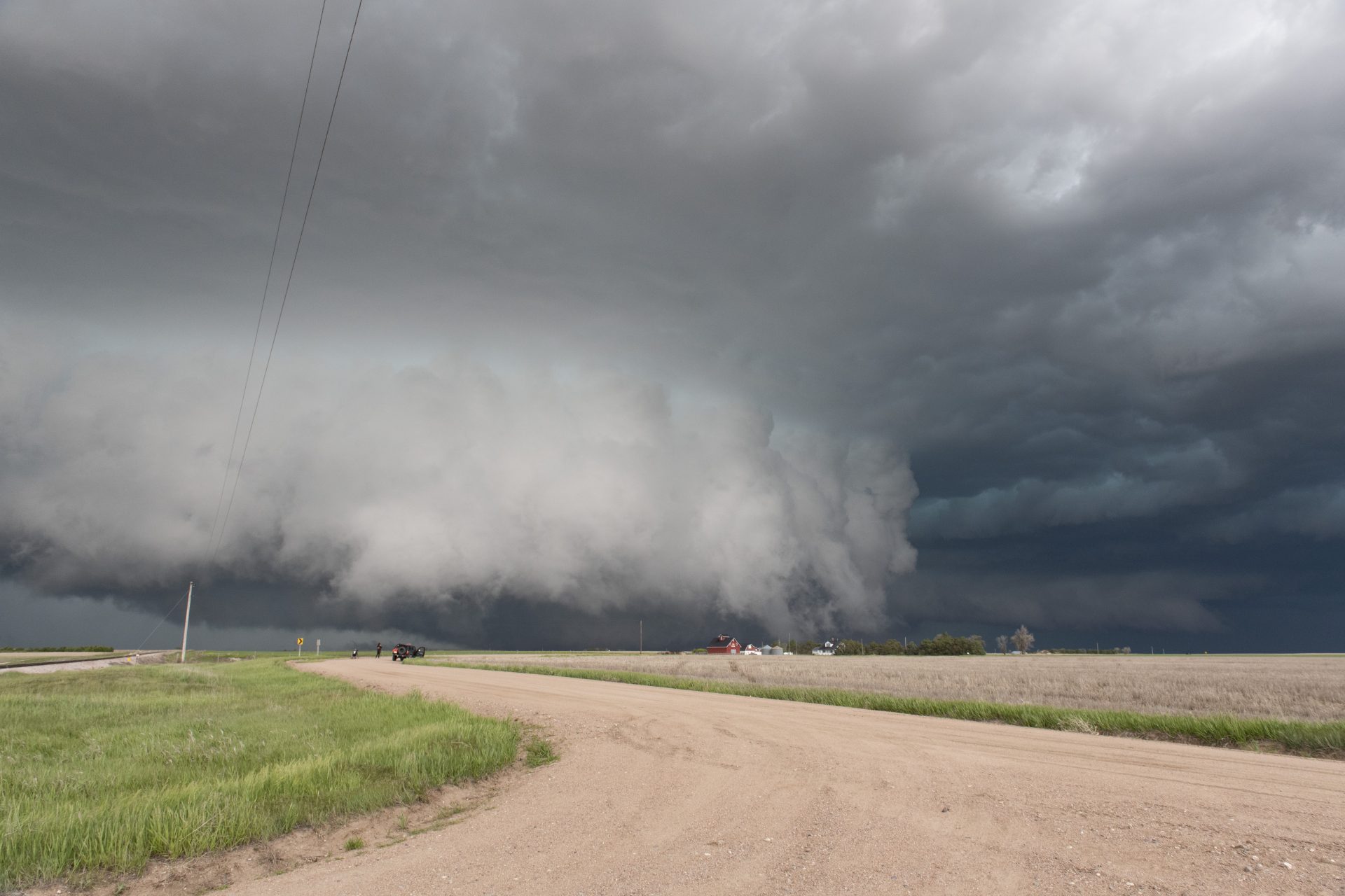
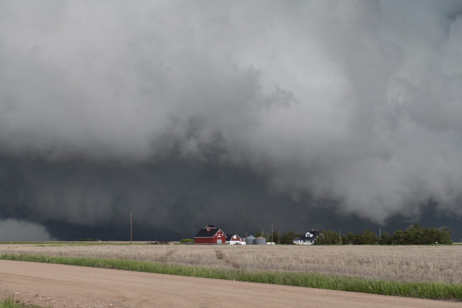
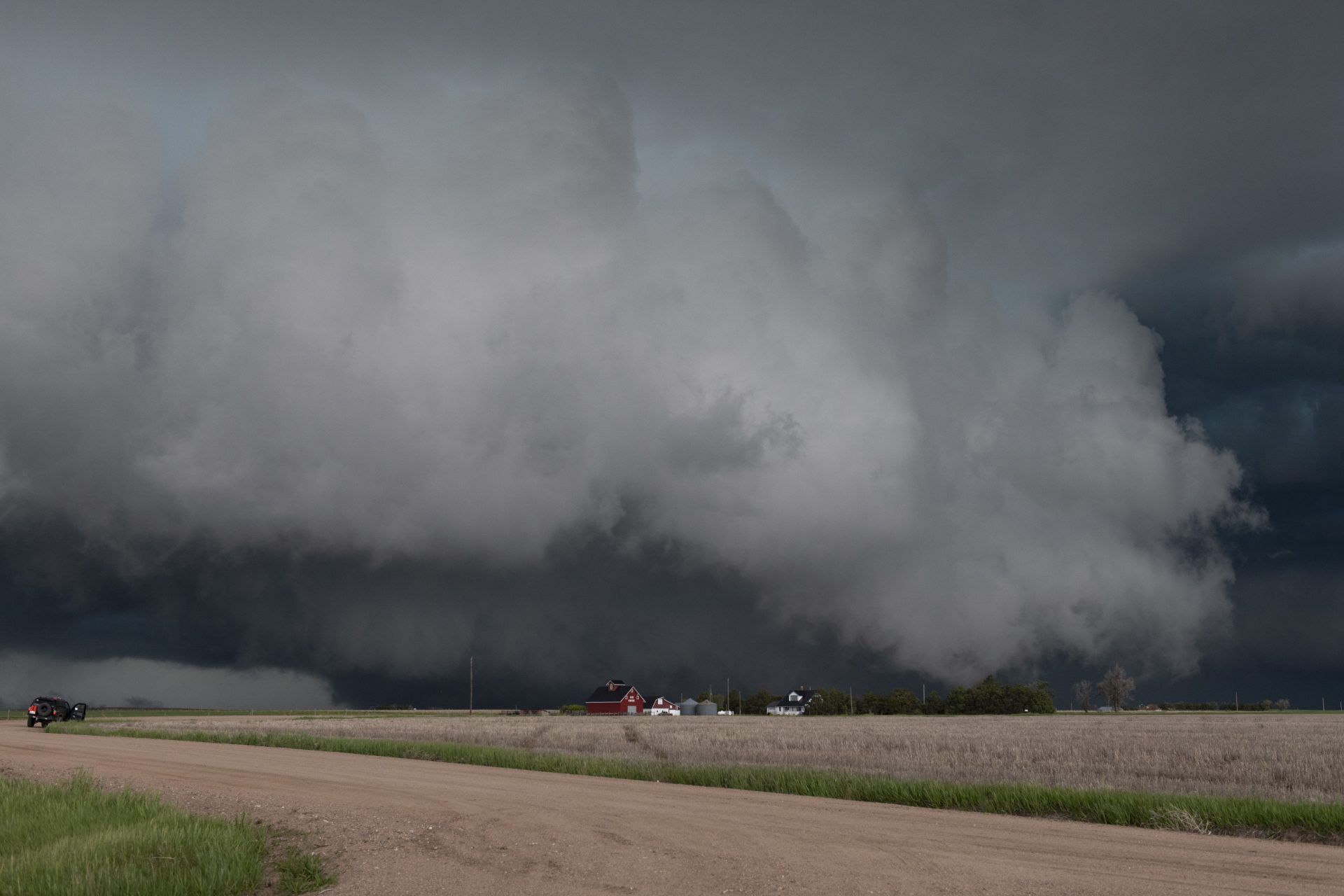
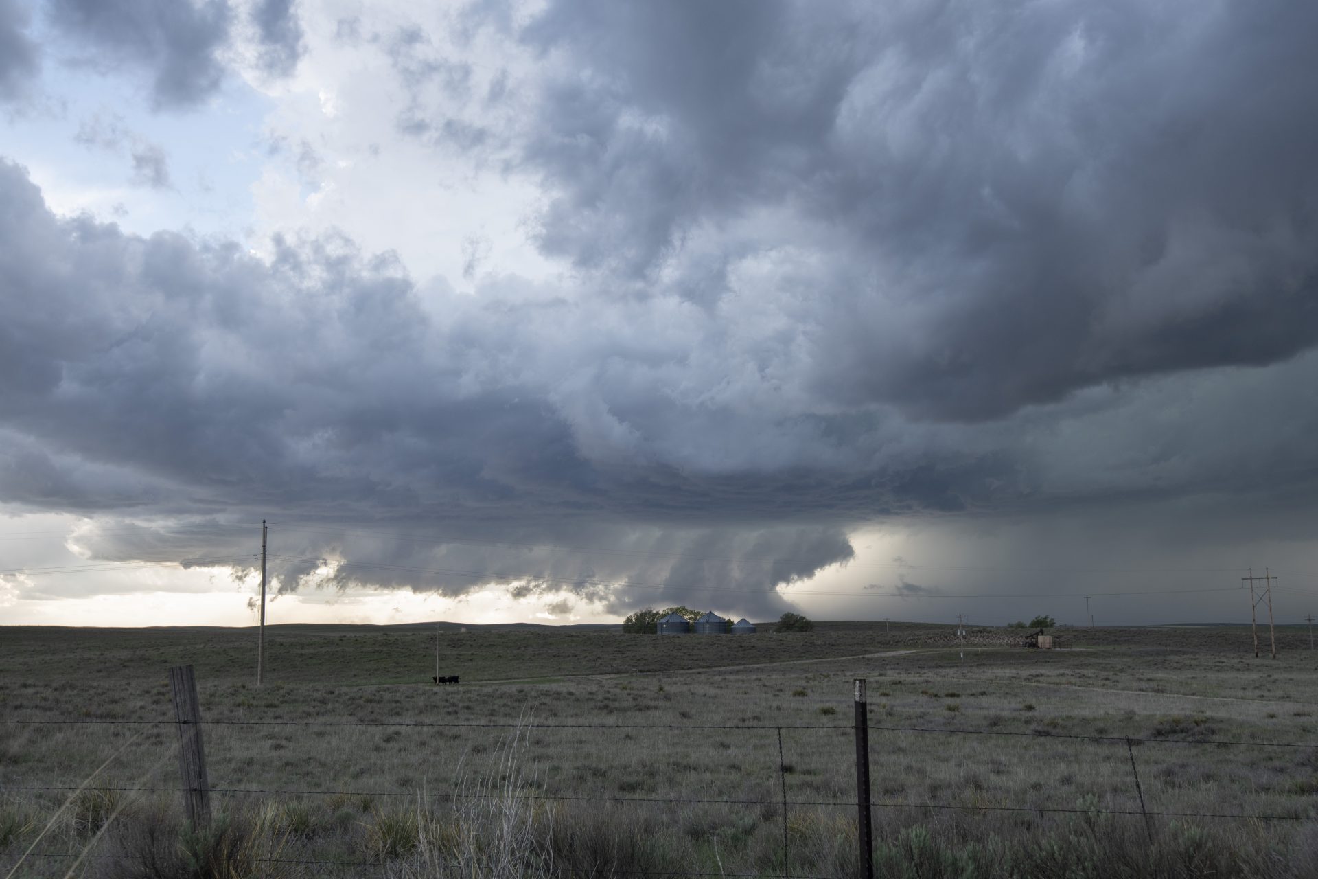
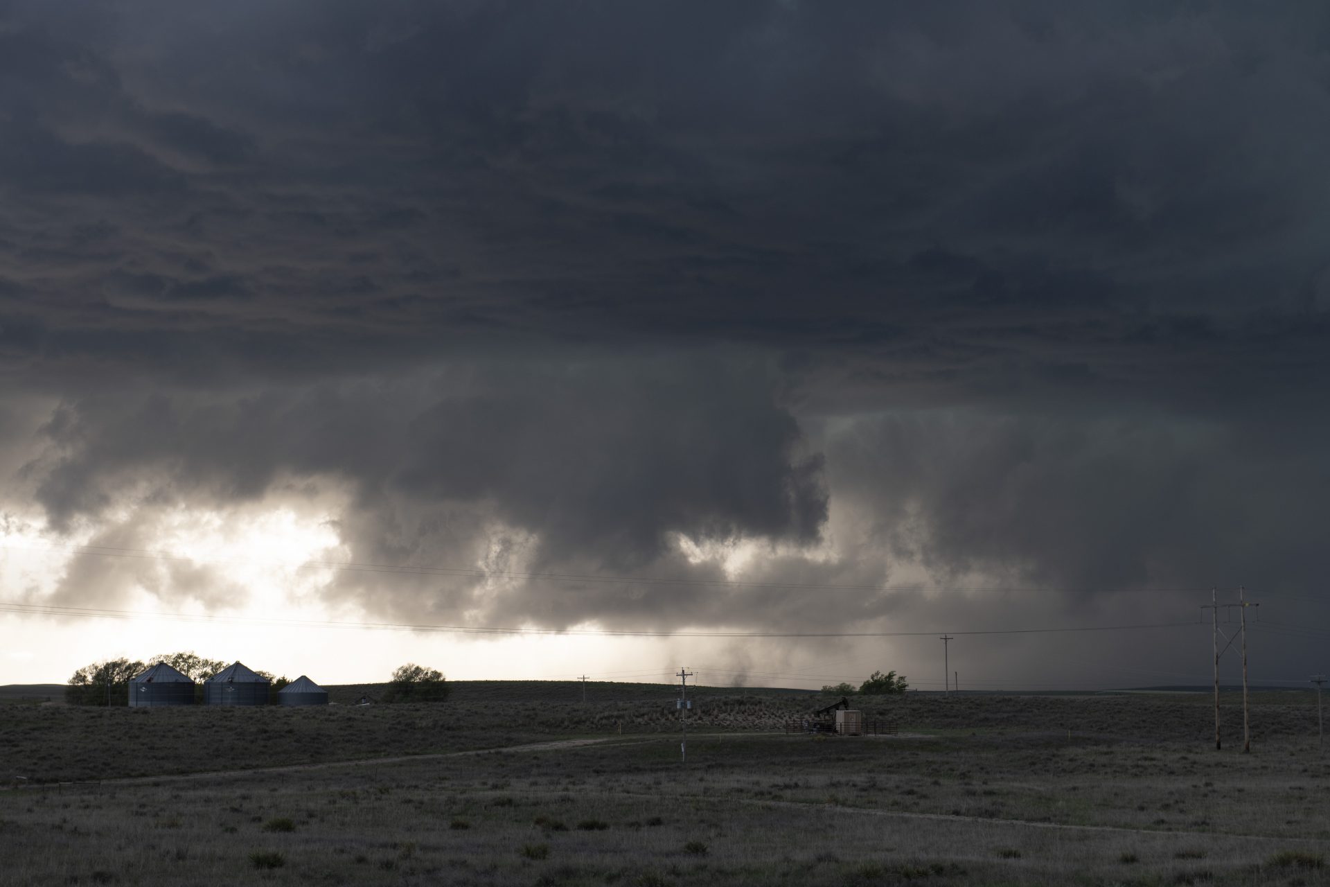
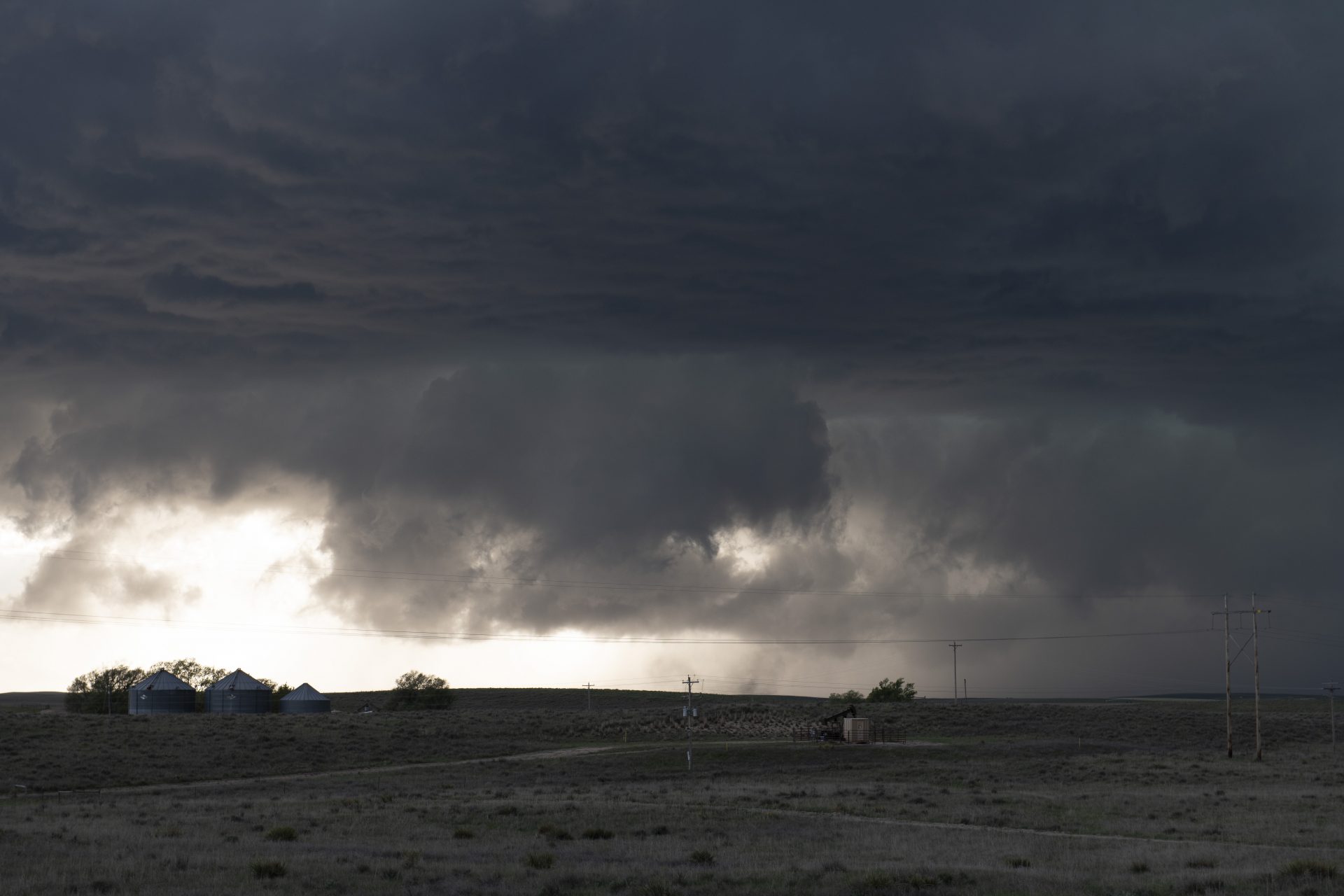
East of Galien the storm really ramped up. We made our way to the southwest of Marks Butte and pulled over to watch as a tremendous RFD surge wrapped itself around to meet the inflow. The cloud motion was tremendous and a ground-scraping meso came into view. I was convinced that a wedge tornado was ongoing at this time and indeed, although it was largely passing across the open plains, EF0 damage was later confirmed at this location.
It gets messy: Time to wave goodbye
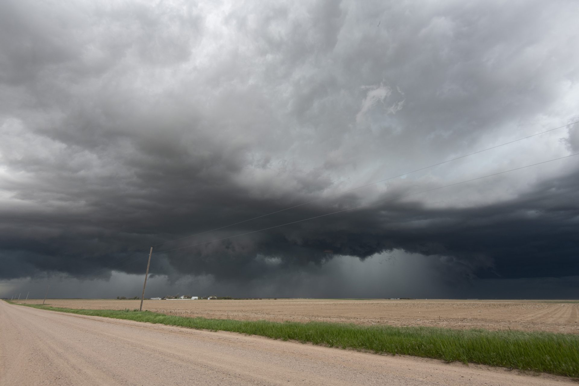
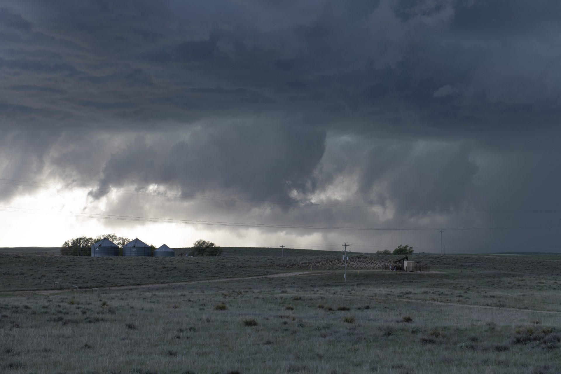
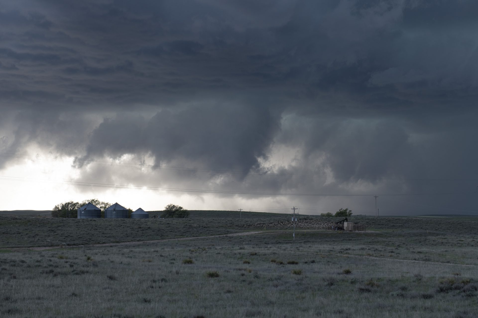
After taking gorgeous structure and colouring once again, our storm became messy and we decided to drop south to intercept another developing supercell coming up from Yuma. A wall cloud developed and the storm became tornado-warned as we got in front of it and it came into view.
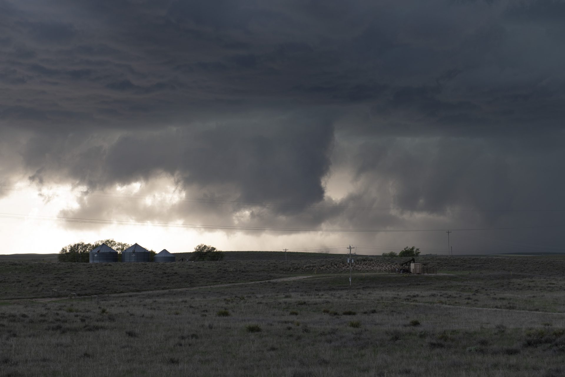
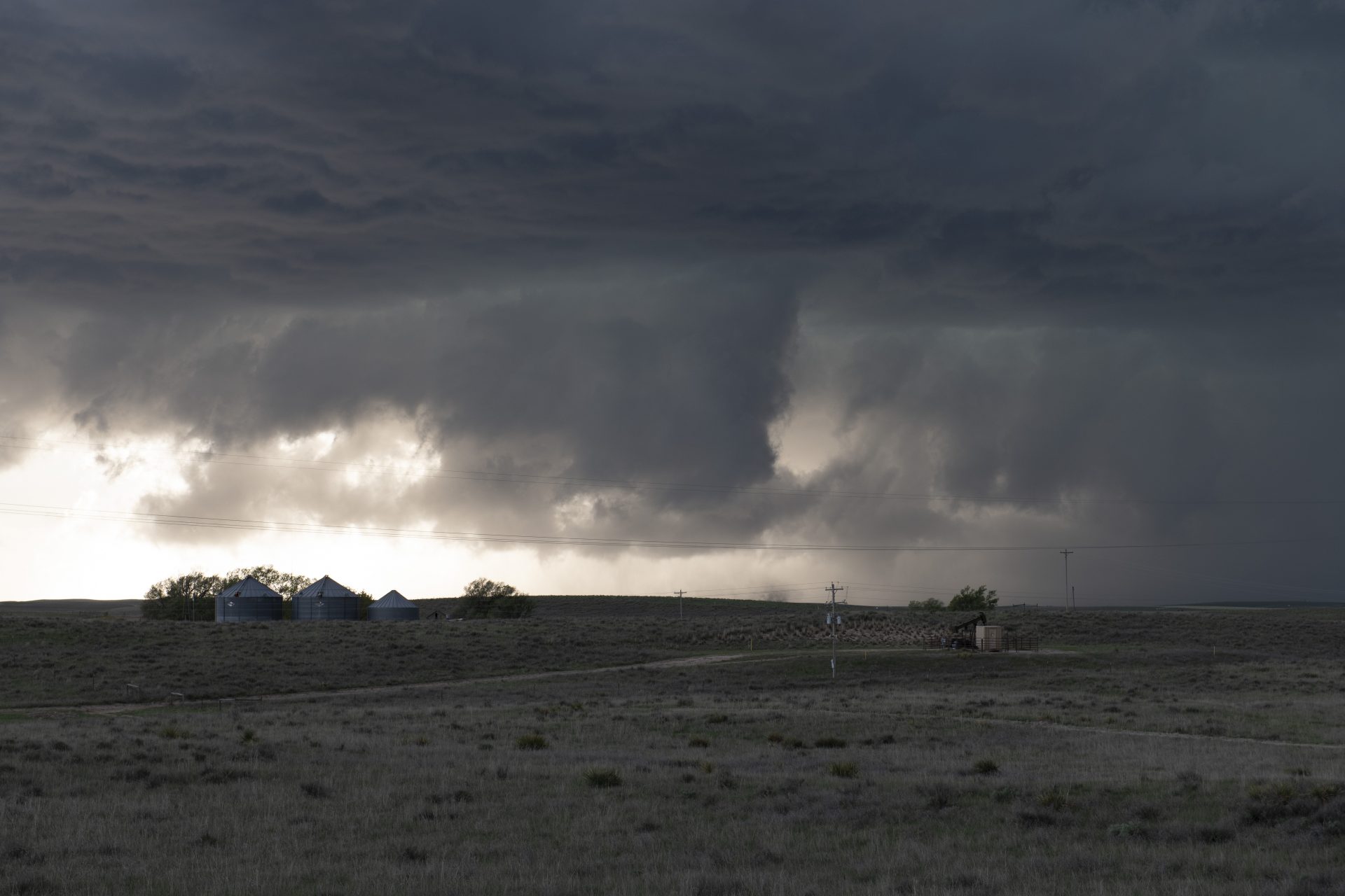
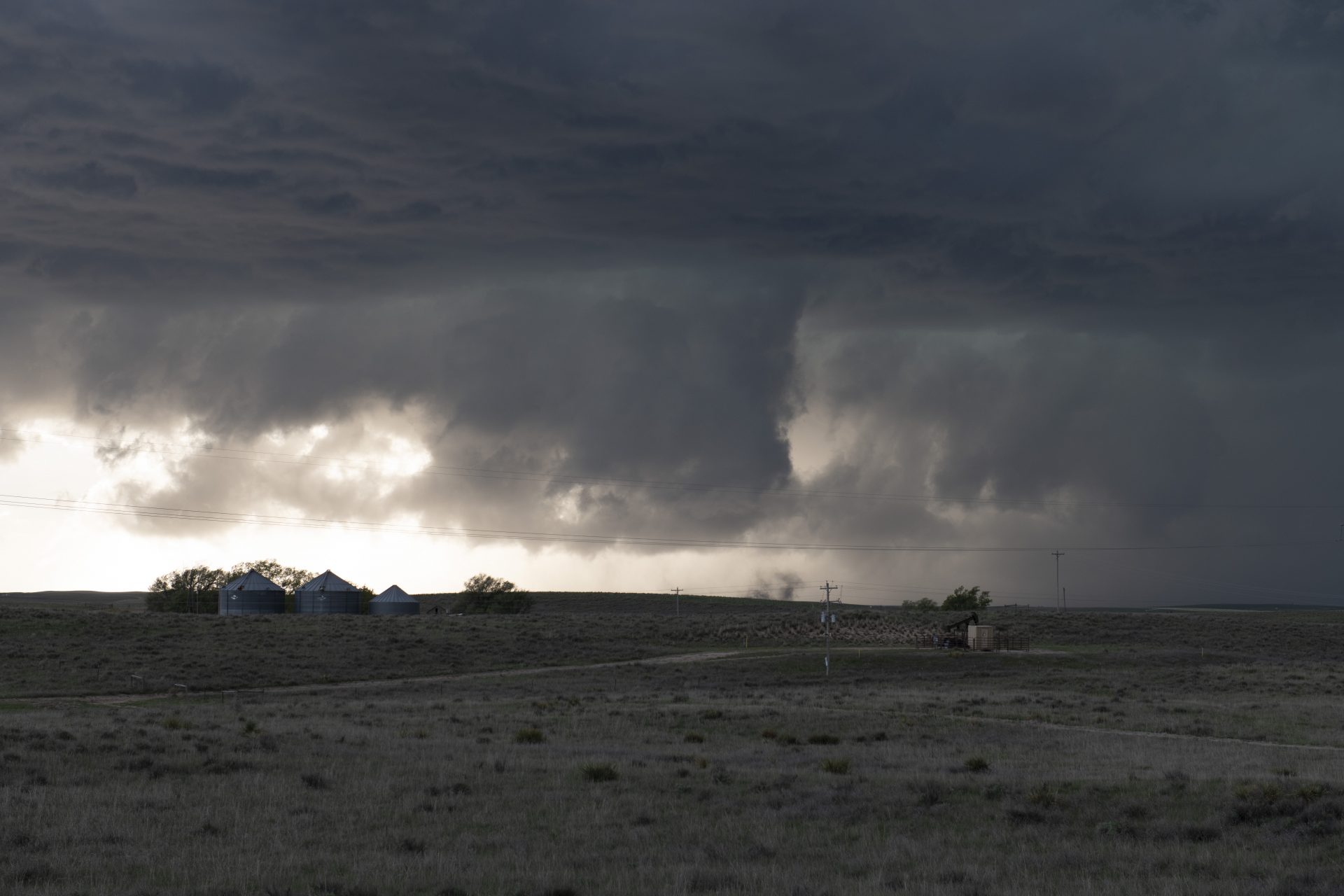
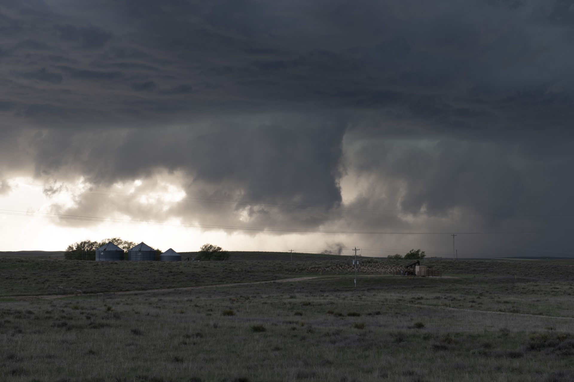
Rotation increases and a dusty multivortex tornado spins up near Holyoke
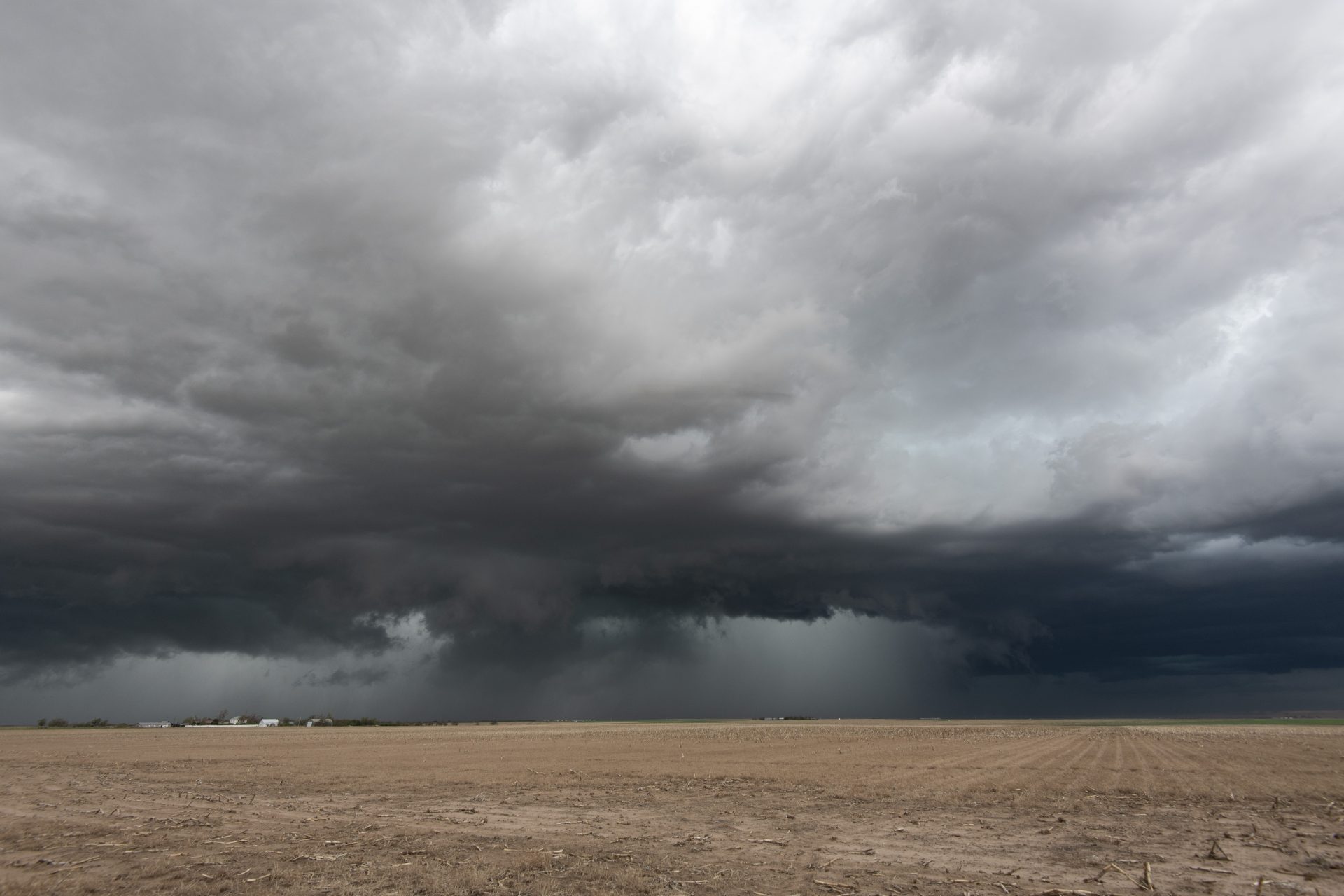
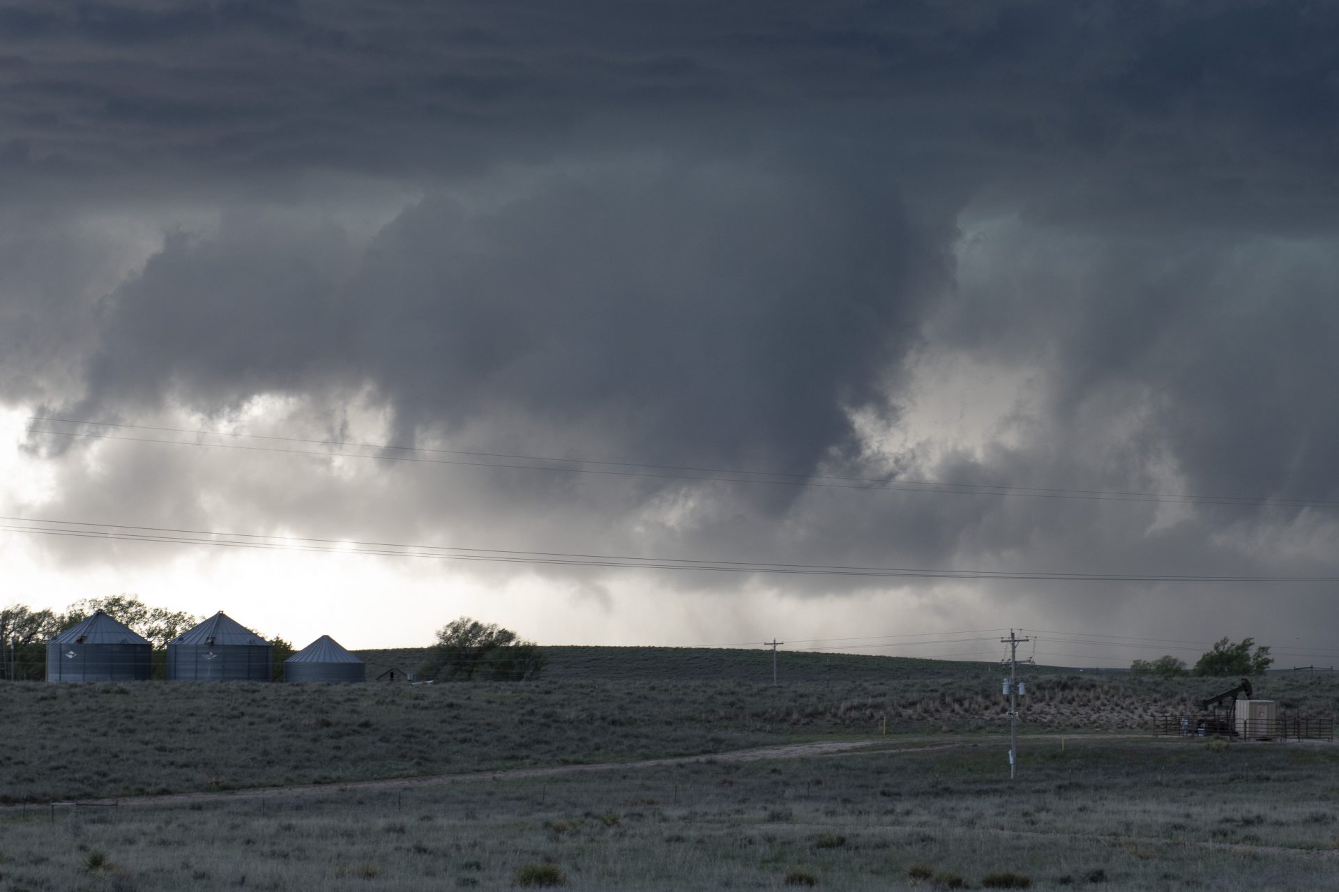
Perfectly positioned, we were able to relax and enjoy the view as the supercell moved slowly in our direction. As it did, rotation increased and a cone-shaped funnel developed. Although the cone was brief and lasted less than thirty seconds, the rotating lowering continued and dusty vortices began dancing around at its base: tornado!
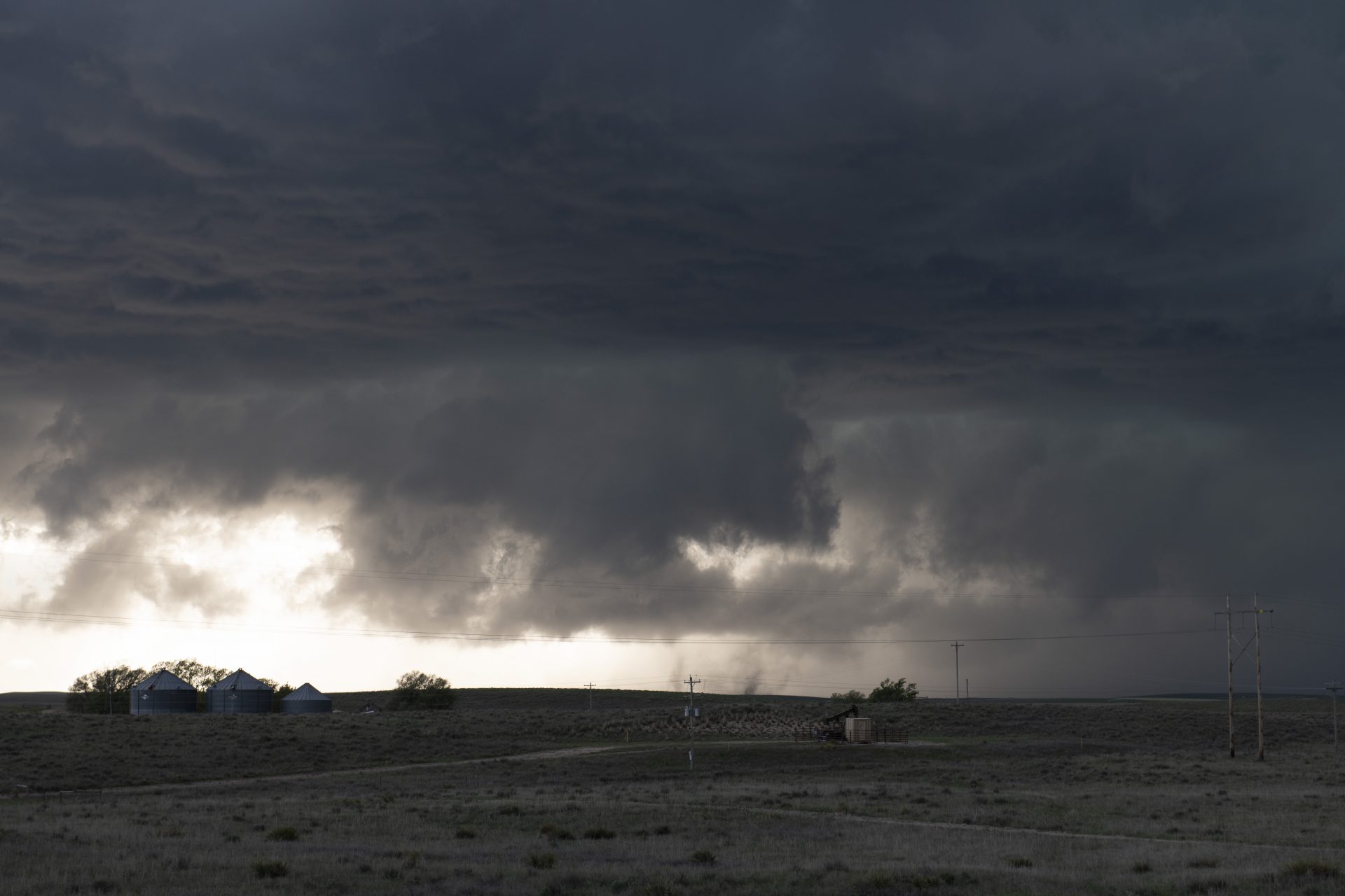
My favourite shot of the dusty, multi-vortex tornado south of Holyoke, CO
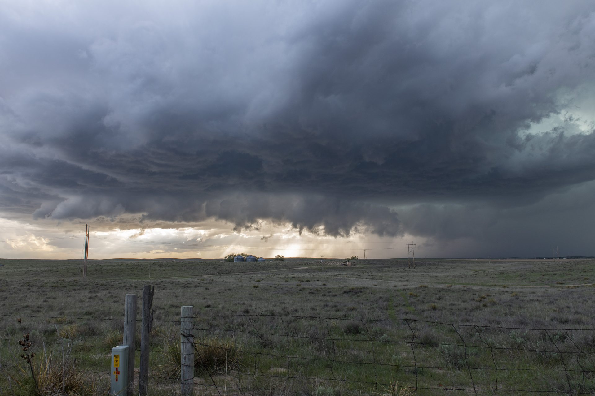
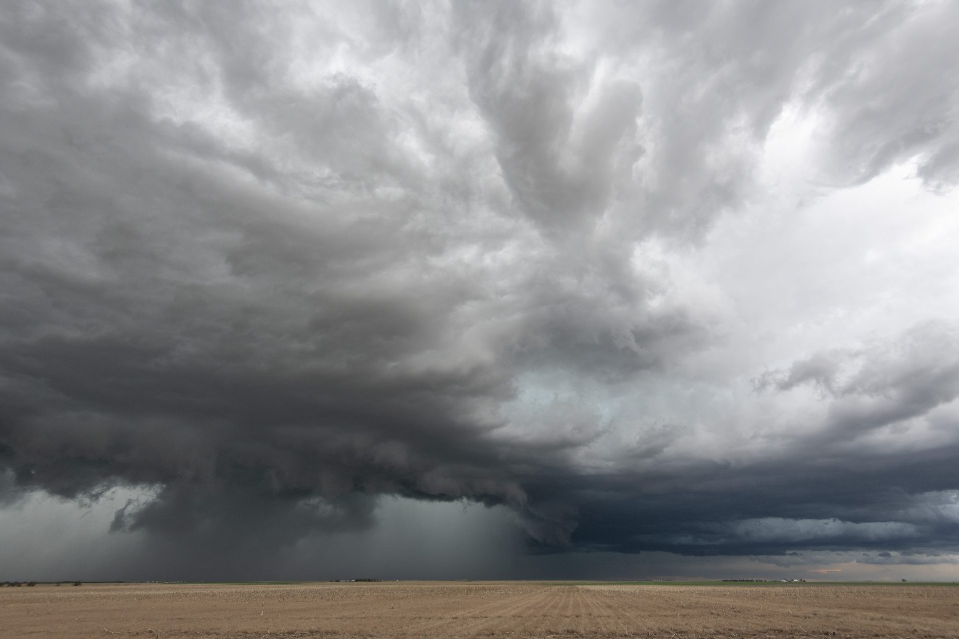
It was there and then it was gone, but the pretty scenes continued










Community Comments
There are no comments on this post
Want to leave a comment? Join our community → OR Login →