

Published on
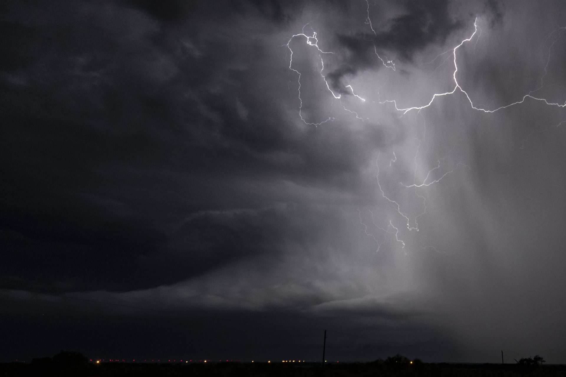
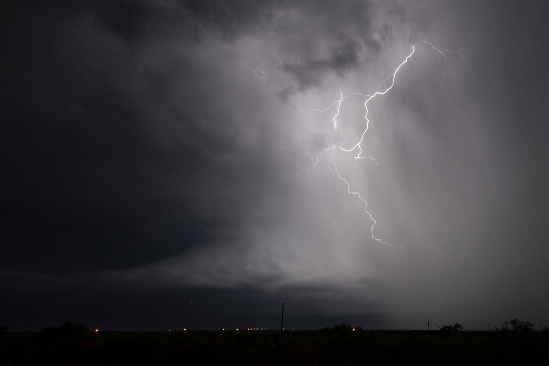
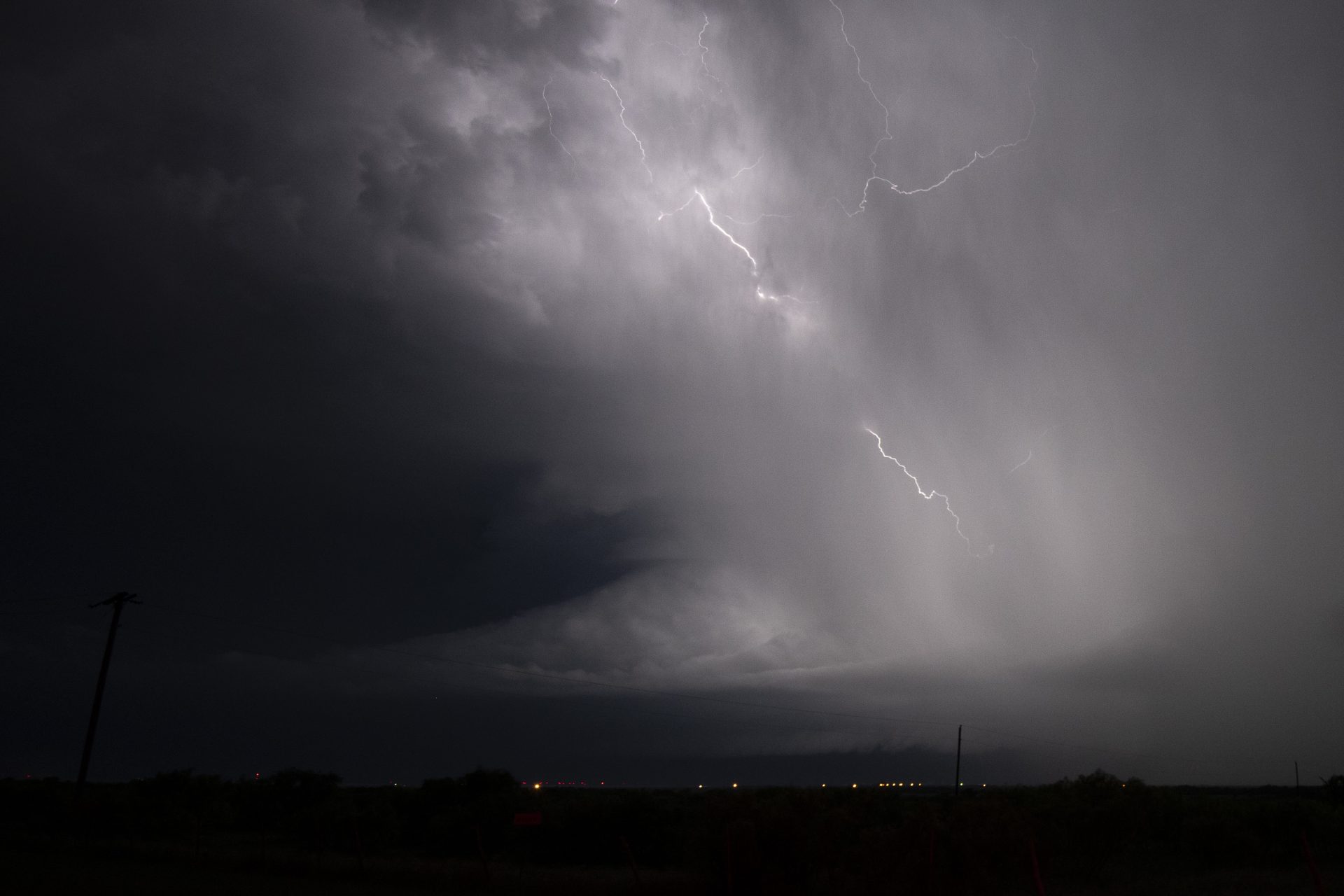
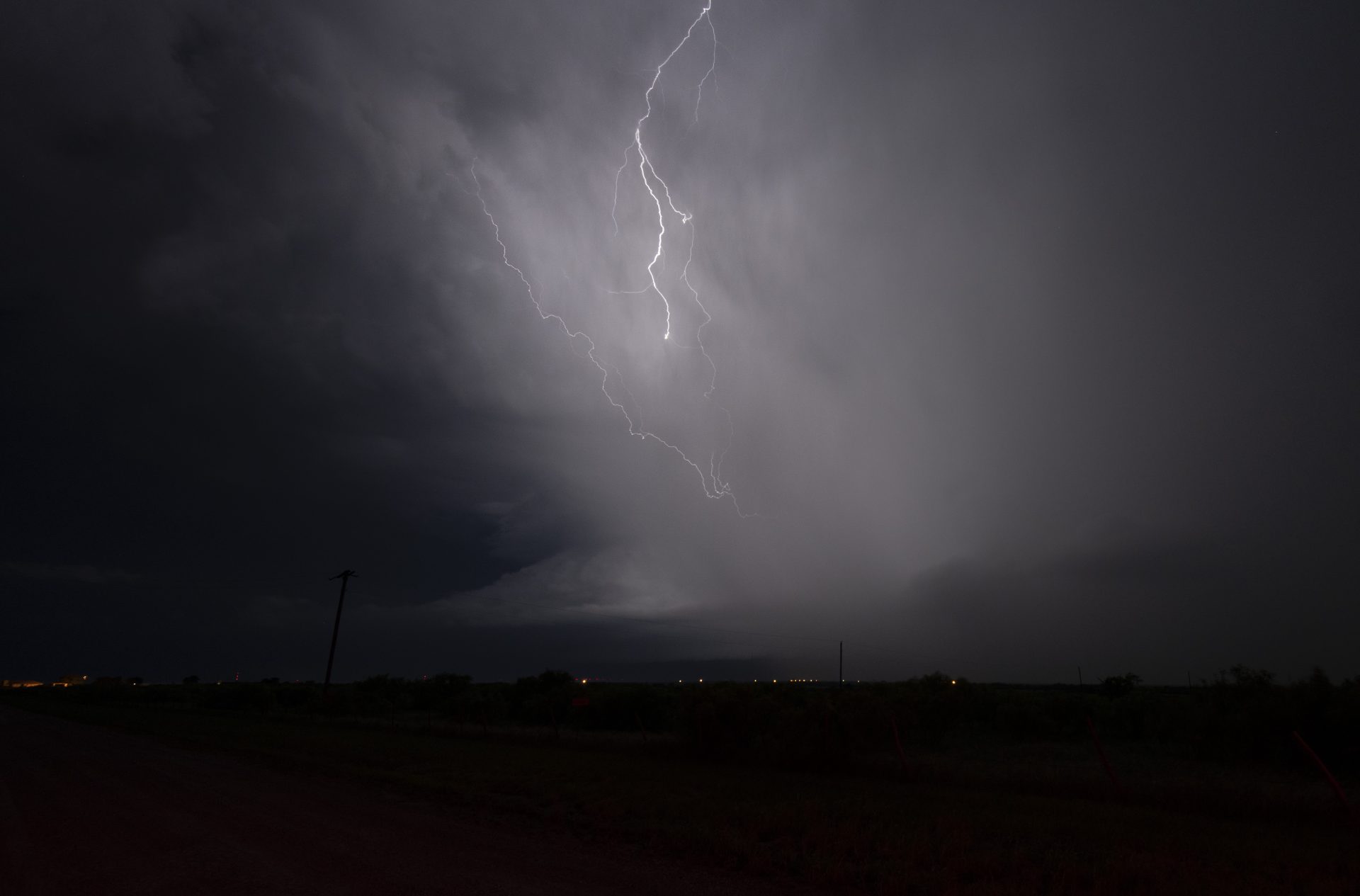
Pretty structure & awesome lightning exceed the day’s expectations!
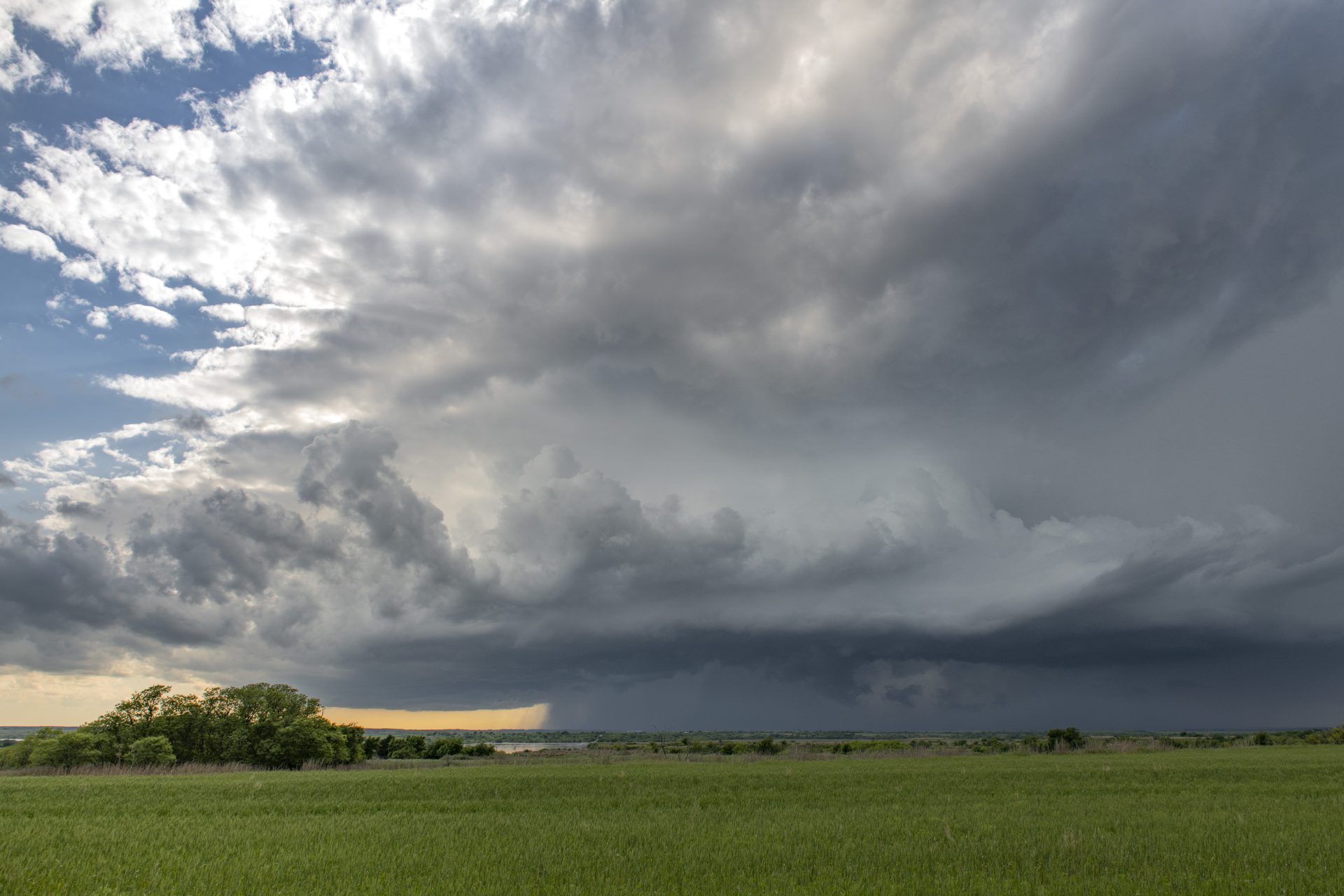
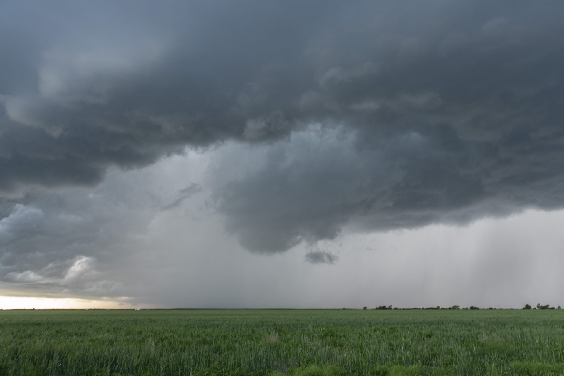
Leading up to Wednesday May 8, it looked as though this would be the most significant in a series of severe weather days that week. In fact, everything had been shaping up for this day to be a major outbreak, possibly even a tornado outbreak. However storms from the previous night evolved into a large MCS that swept across Oklahoma during the early morning hours, overturning the atmosphere and robbing the day of its higher-end potential. Nevertheless, we saw an opportunity for instability to rebound in an area around Childress.
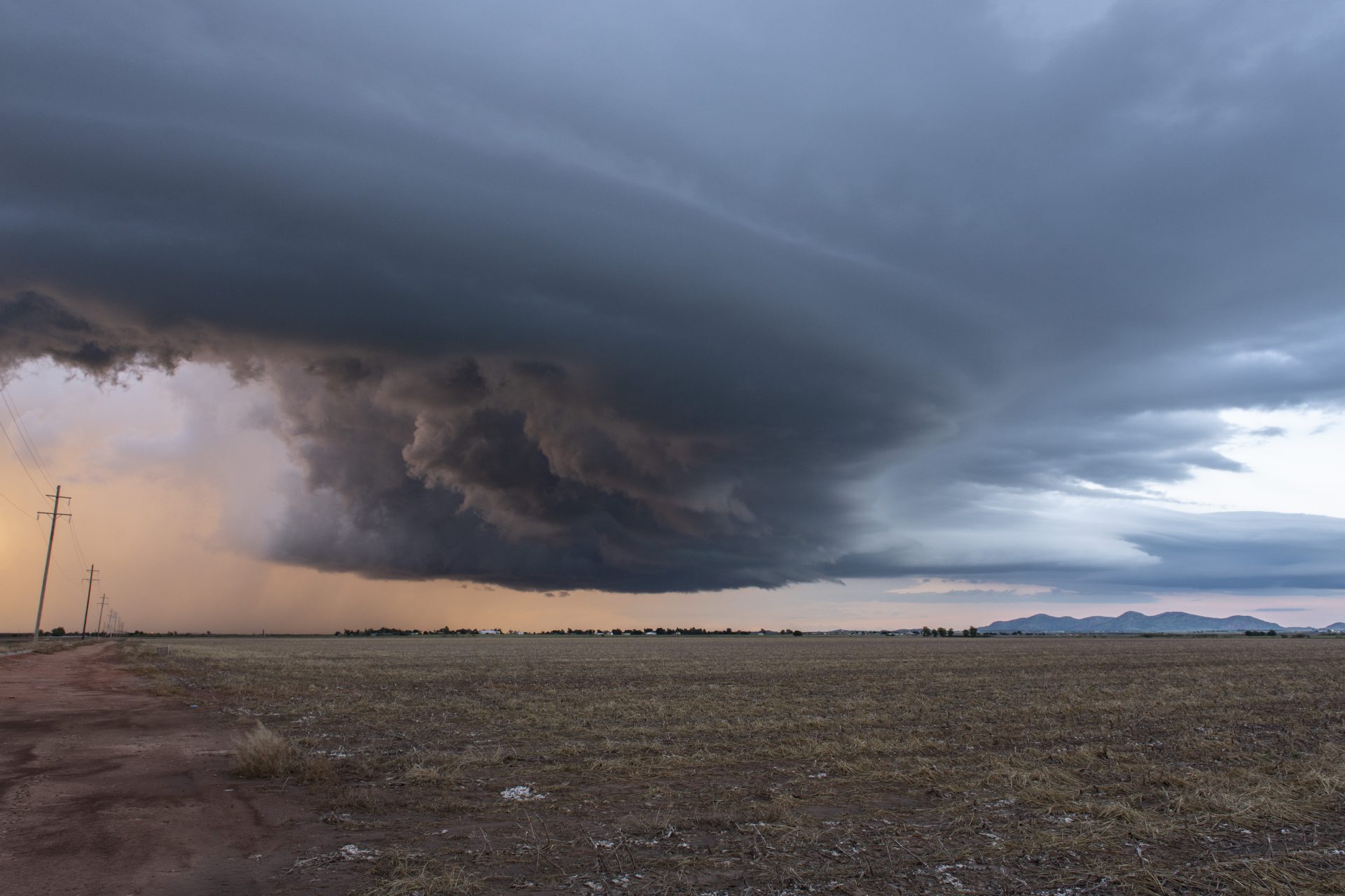
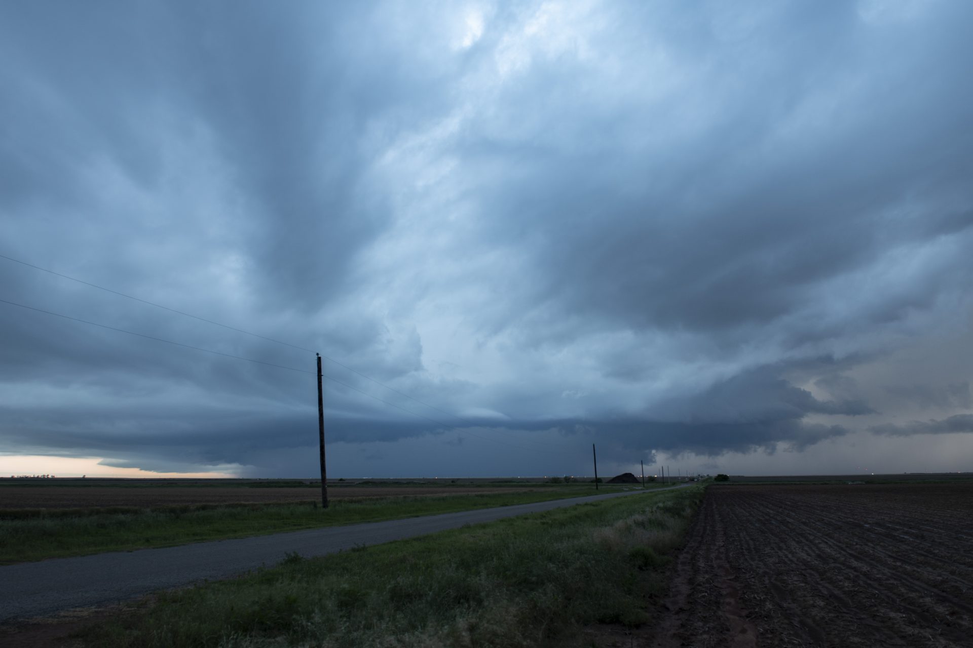
Alex, John and I monitored surface obs and kept an eye on vis sat which showed an intersection of boundaries at Shamrock. Indeed, by 5:00 pm storms began to form. We positioned to watch as they pulsed in intensity until eventually the southernmost cell became dominant. For the remainder of the afternoon and evening, we were treated to pretty storm structure, attempts at tornadogenesis, and a breathtaking display of lightning.
Community Comments
There are no comments on this post
Want to leave a comment? Join our community → OR Login →