

Published on
May 16, 2026 featured a stationary boundary draped across the Kansas/Nebraska border region with a low pressure forming along the lee of the Rockies.
The Storm Prediction Center had an Enhanced risk issues across the region, with 5% tornado odds. It appeared hail and wind would be the bigger threats.
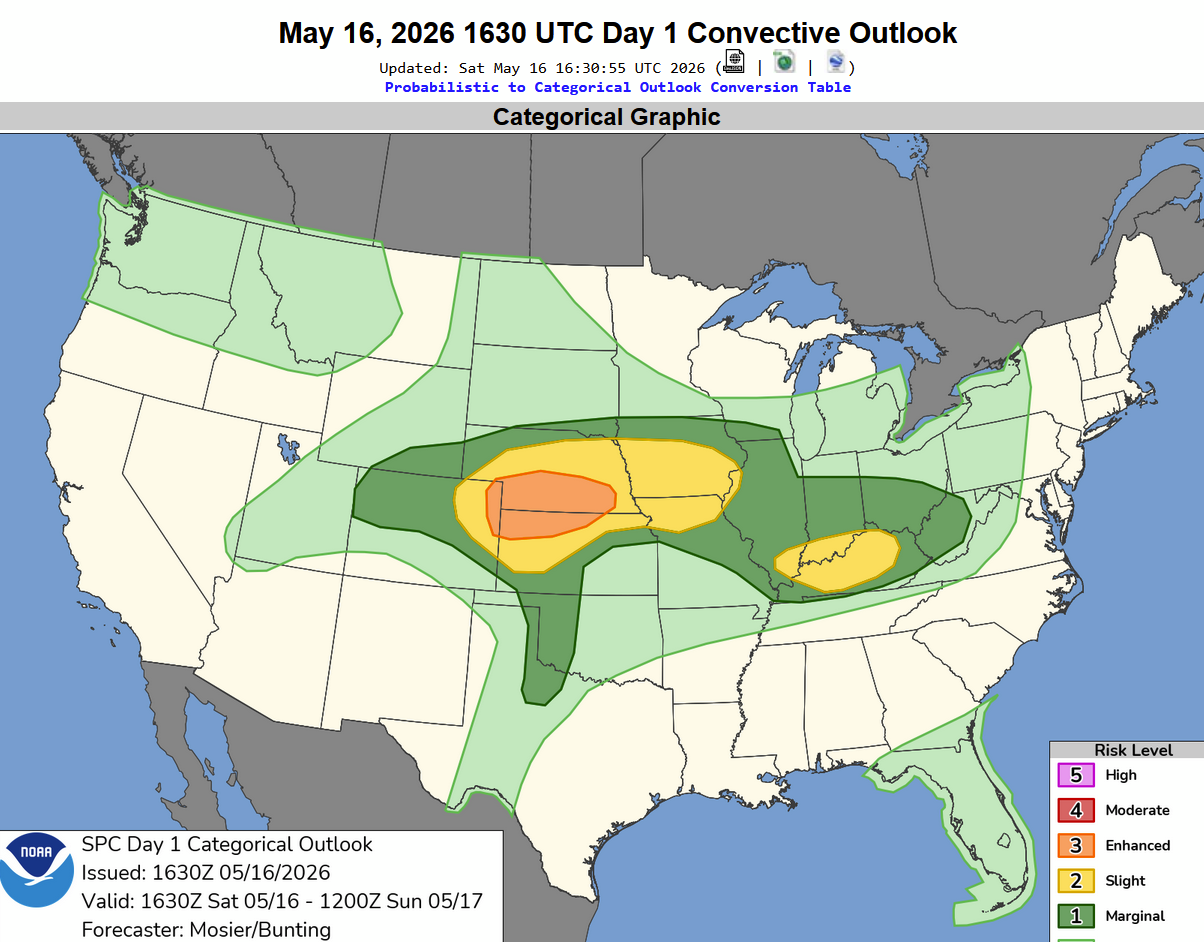
We spent most of the afternoon in Goodland, Kansas, and watched storms fire up along the Colorado border. The first storm went up and quickly produced large hail. We stayed ahead of it for the most part, but we did get into a storm merger near Brewster.
The storm continued to put down large amounts of 2″ hail – this photo was taken as it passed over Goodland, taken from 7 miles east.
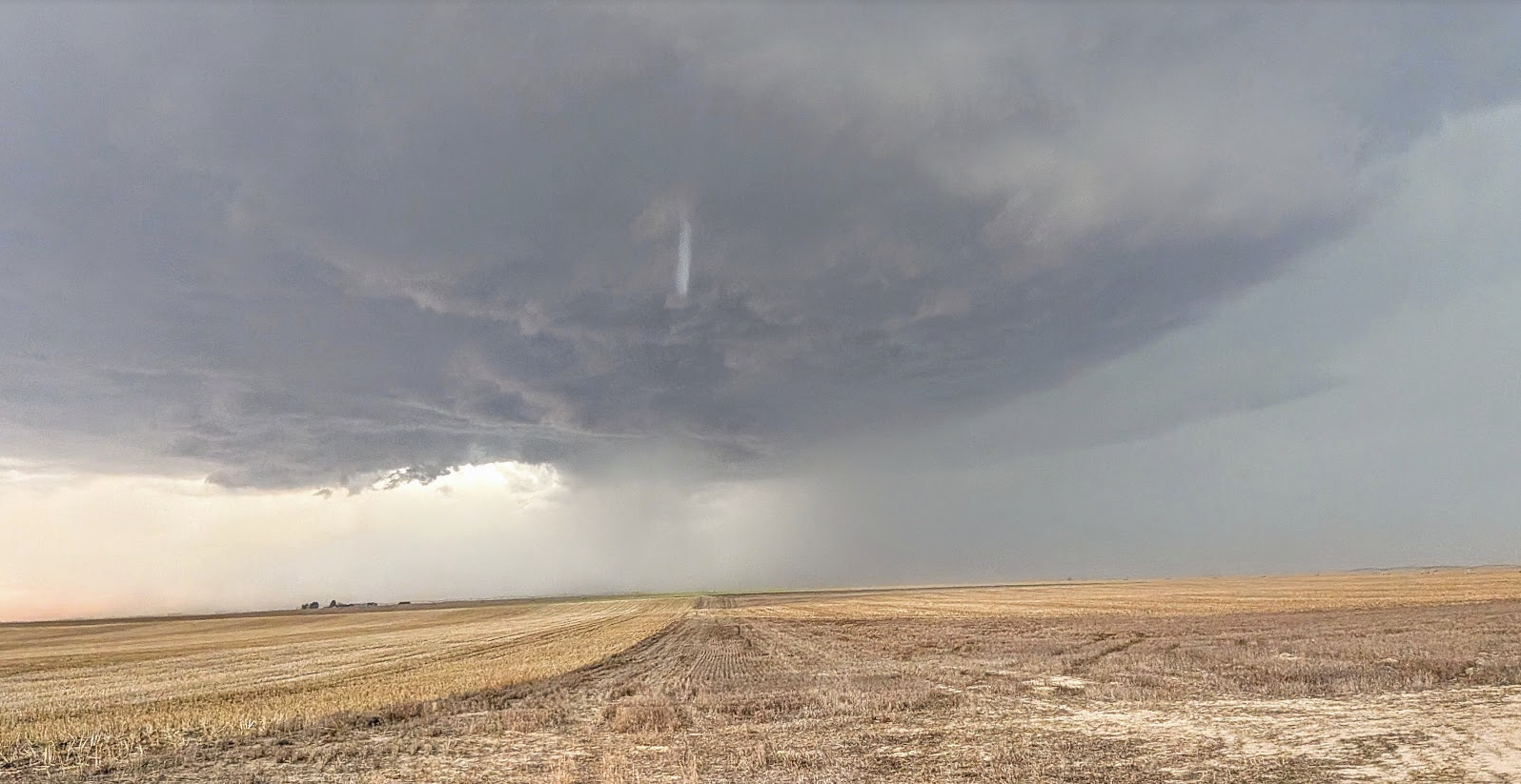
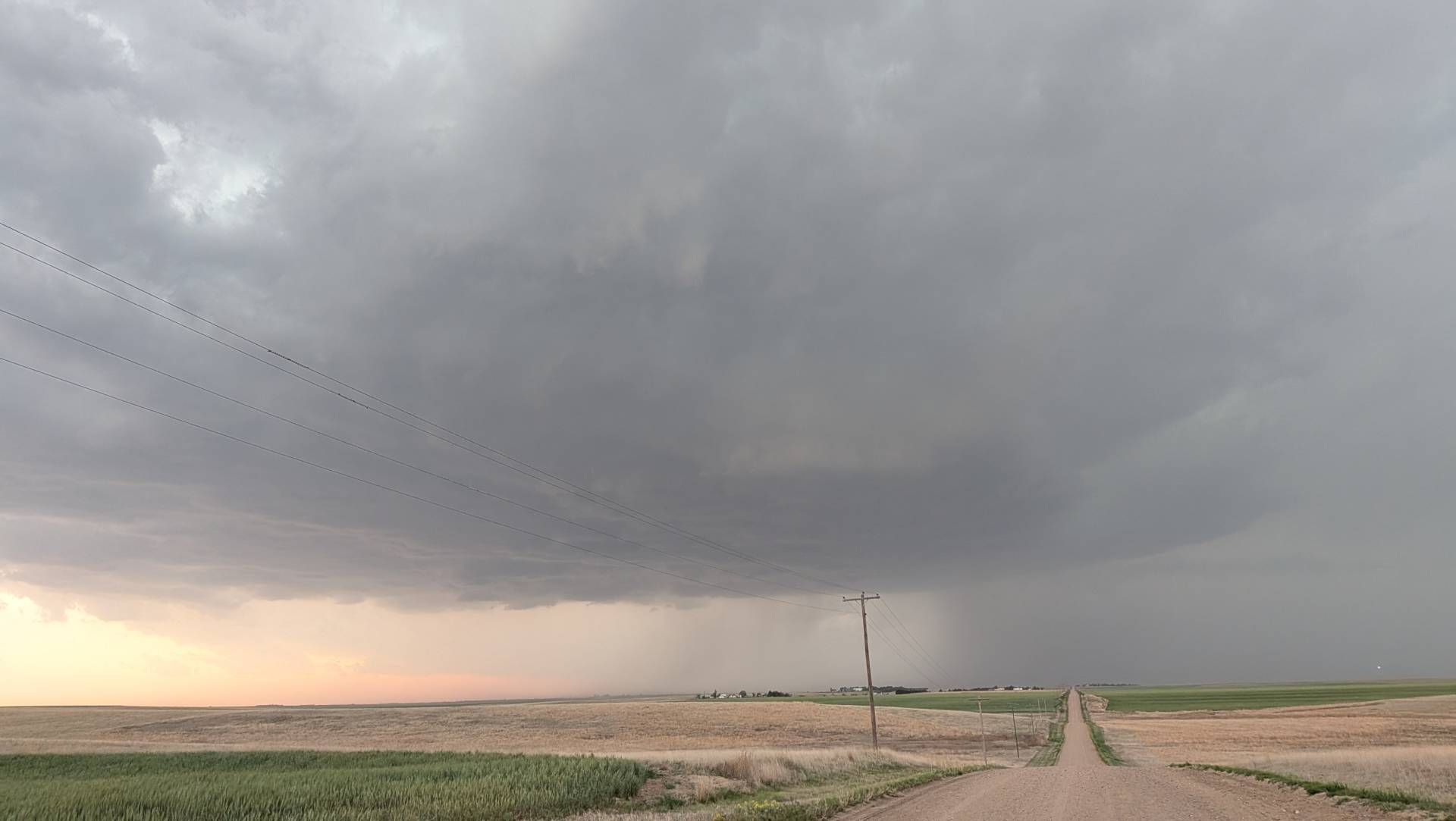
A bit later in the evening, this landspout/possible tornado developed near Edson, Kansas.
It was a fun chase although dodging large hail without great road options came with some of its own complications. Still managed to have a good time and see some tornadic circulation with big hailers.
Community Comments
There are no comments on this post
Want to leave a comment? Join our community → OR Login →