

Published on
June 10, 2026 looked on paper like an excellent chase opportunity across Northern Missouri and Southern Iowa, but due to work constraints, my team and I opted to play along I-70 near Salina, Kansas.
The Storm Prediction Center (image below) painted an Enhanced Risk across the better tornado environment from Kansas City to east of Des Moines. The red X shows where we targeted: Abilene, Kansas.

Storms quickly went severe just north of Salina, near the I-70 corridor and we first jumped on them near Solomon, Kansas. The below image is a few moments later near Abilene, before the storm went tornado warned.

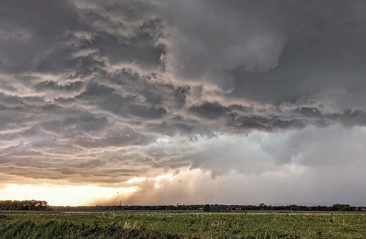
This shot was looking back to the northwest from southeast of Abilene – the storm was tornado-warned at this time – but no tornado appeared imminent.
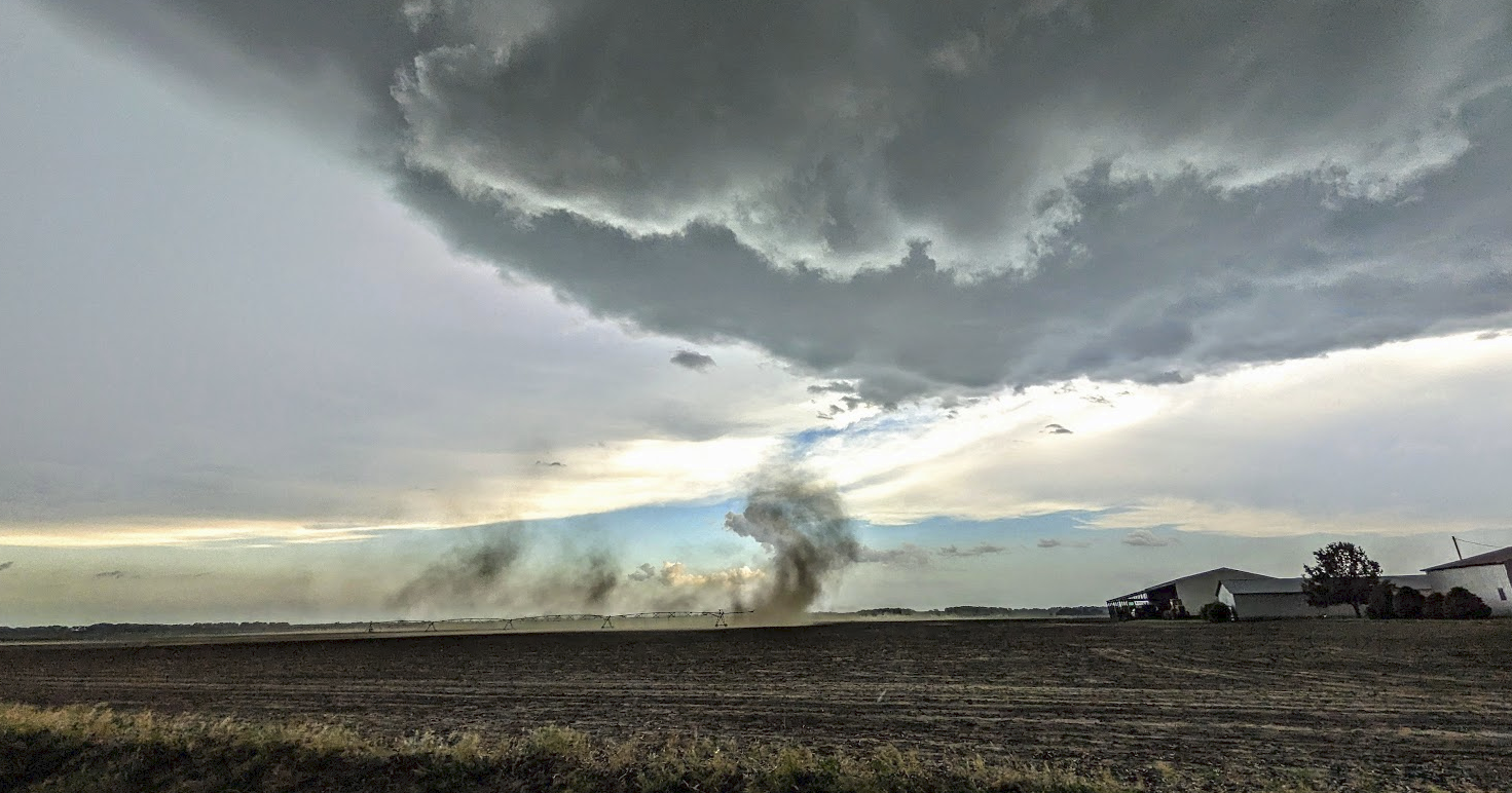
The storm was slow to move – but eventually did catch up with us with some RFD south of Abilene. The image below looked dangerous, but it was just the RFD winds blowing up some dust in a field.
South of Enterprise, Kansas – the supercell just became a “HP” mess – a high-precipitation supercell.


The green sky is indicative of that area of high precipitation – some very heavy rain and hail.
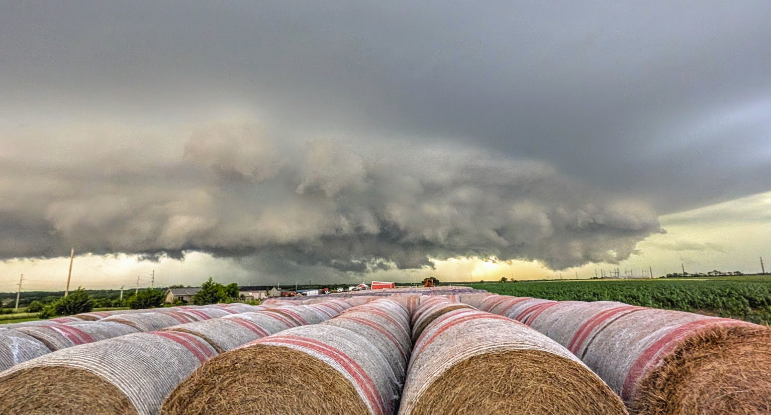
The area of rotation at this time was shrouded in rain – but did re-develop outside of the main precipitation core, as depicted in the image below.
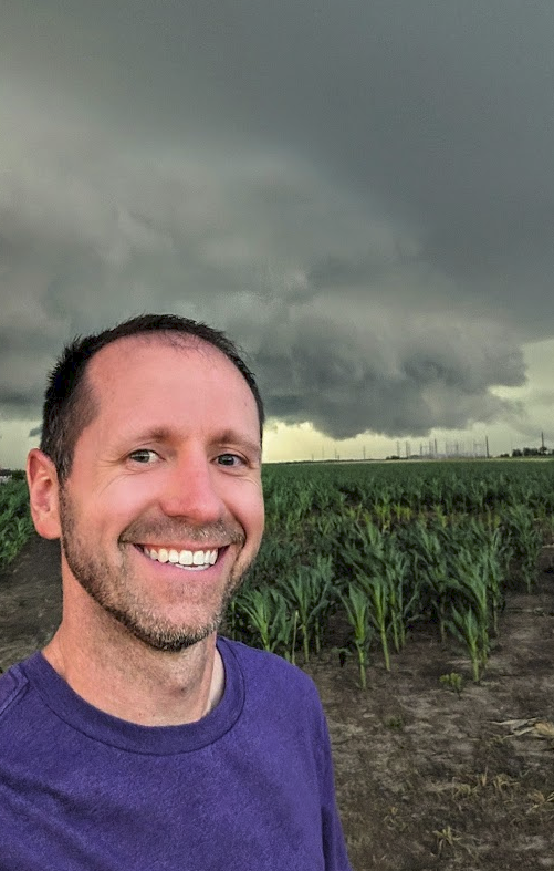
A rare photo of myself under the storm – it was a beast!
The storm tried to develop a consistent tornado at several points, but really only condensed to the surface a few brief times.
We opted to jump to a different storm near Nickerson, Kansas after dark, but the skies on the way to that supercell did not disappoint.
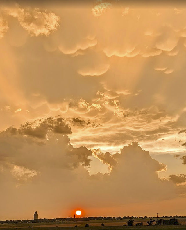
Mammatus clouds blanketed the sky at sunset. The above photo was taken from Lehigh, Kansas as the sun set.
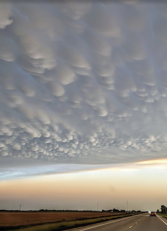
Additional Mammatus clouds as seen from southbound K-15 near Goessel, Kansas.
The supercell near Nickerson continued to exhibit moments of circulation after dark, and we watched it for a good two hours before heading back to Wichita for the night.
A pretty fun chase – with minimal damage and photo ops galore!
Community Comments
There are no comments on this post
Want to leave a comment? Join our community → OR Login →