

Published on
Another weekend day, another chase for my crew.
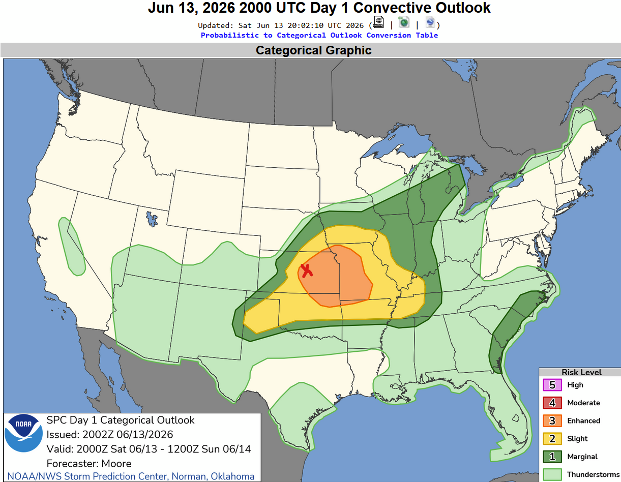
The Storm Prediction Center had an Enhanced Risk draped across Central/Eastern Kansas and adjacent areas of Missouri. The red X is my target area: Salina, Kansas.
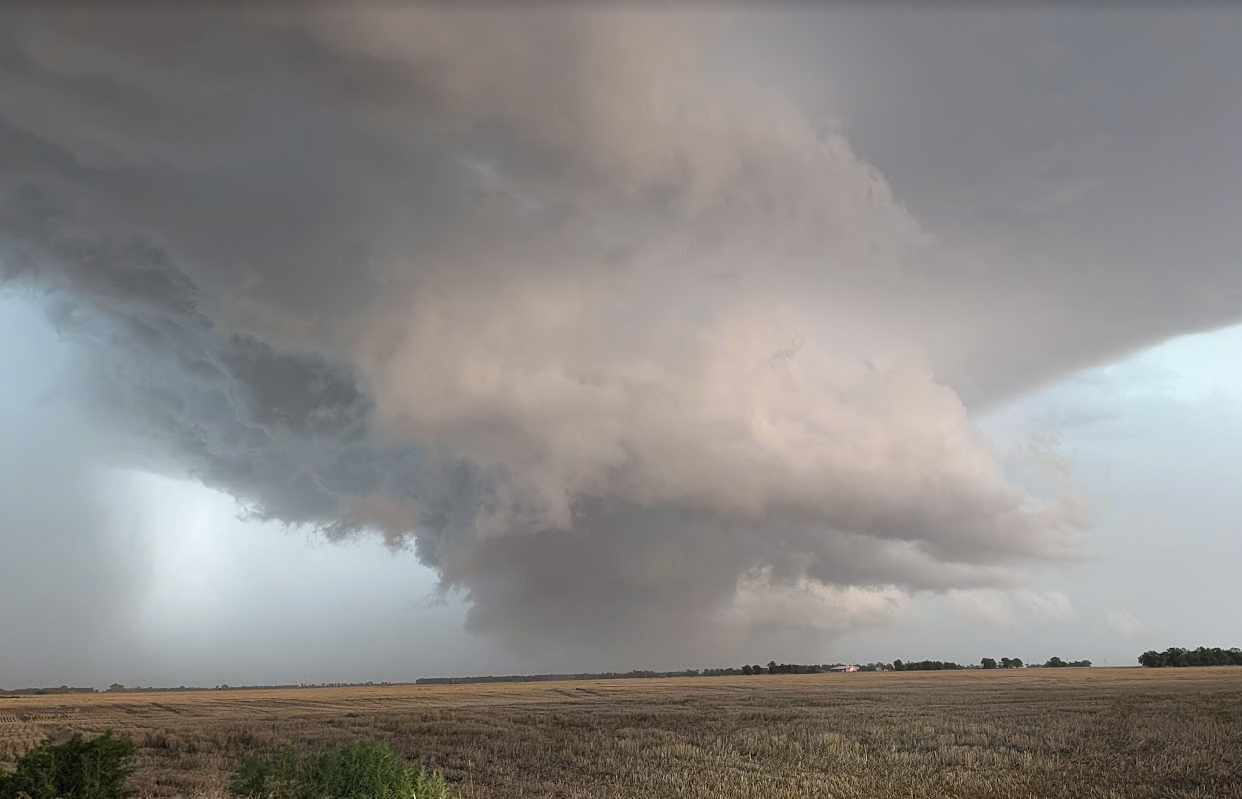
Storms quickly developed by late afternoon, and we jumped over to Ellsworth County, about 30 miles west of Salina. A storm quickly went severe for 1.5″ hail and high winds. It also exhibited occasional rotation.
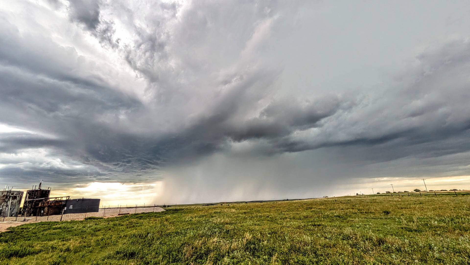
The Highways and Hailstones chase vehicle monitoring the severe storm with developing wall cloud south of Ellsworth, Kansas.
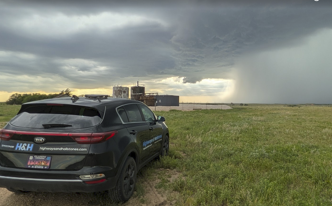
A beefy wall cloud developed very near Geneseo, Kansas, exhibiting moderate rotation and multiple funnels.
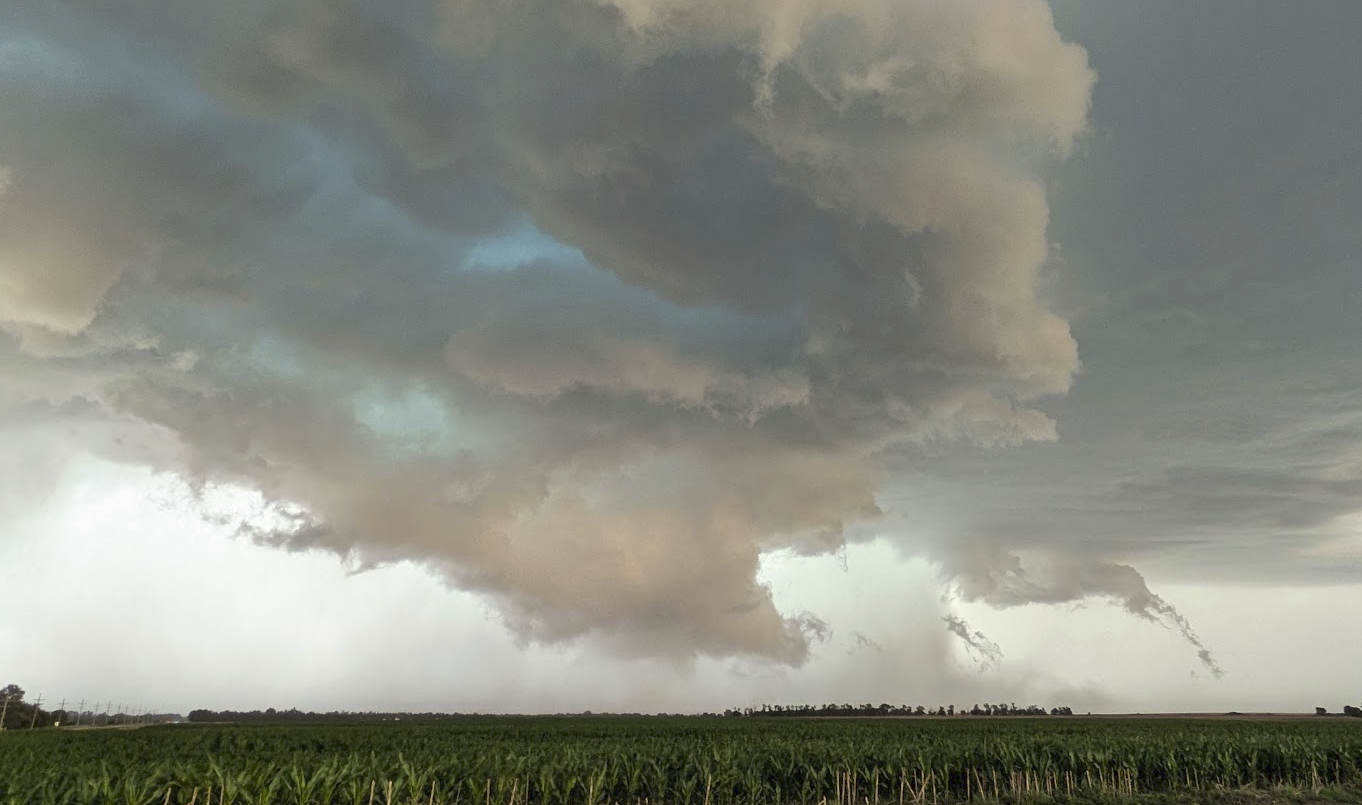
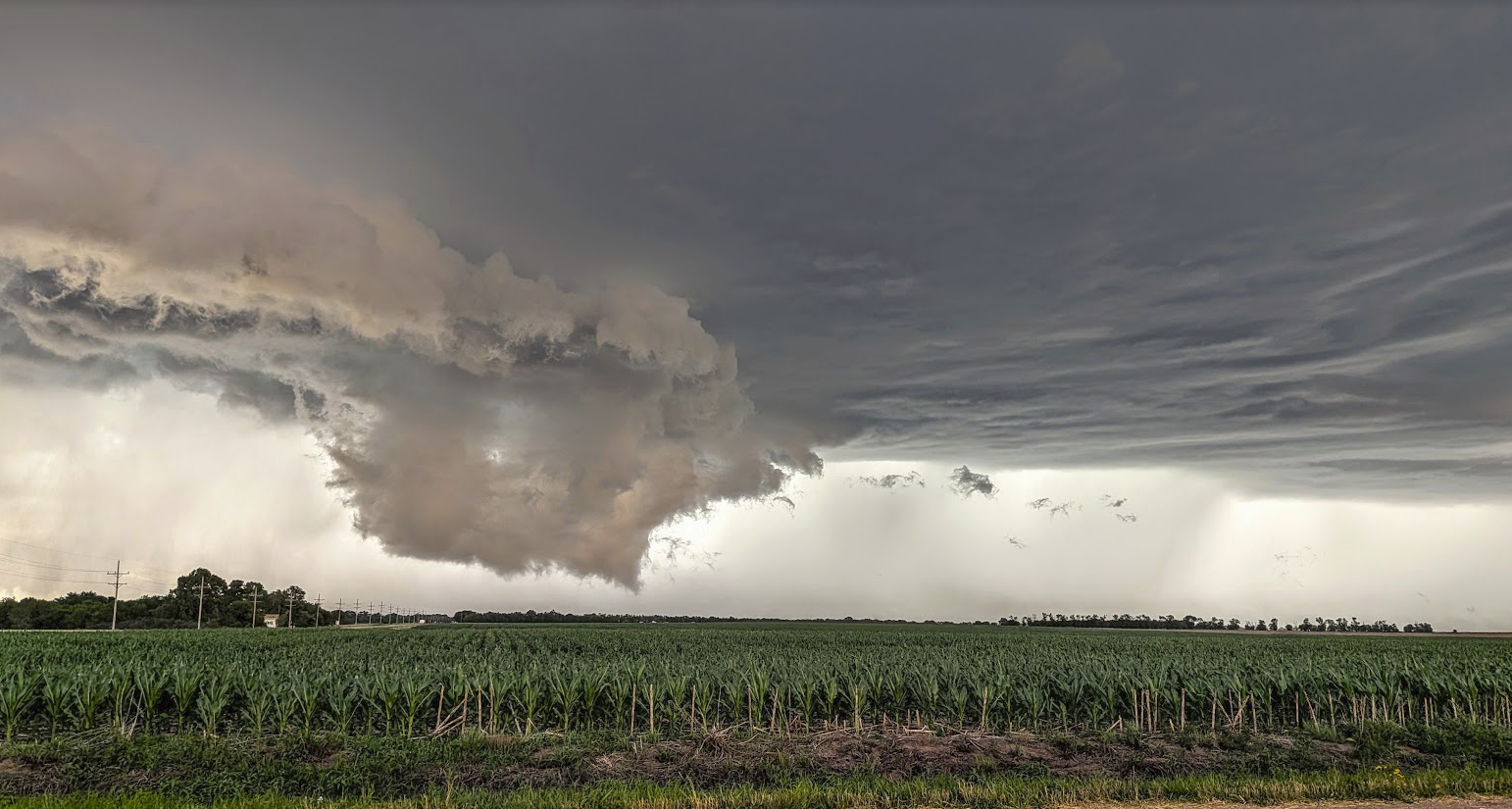
Multiple funnels visible on the right side of the storm, with a dense collective underneath the storm, with possible tornadic condensation underway – could not verify if touch down actually occurred.
The storm continued off to the east/southeast, producing dramatic skies and plenty of hail in the core.
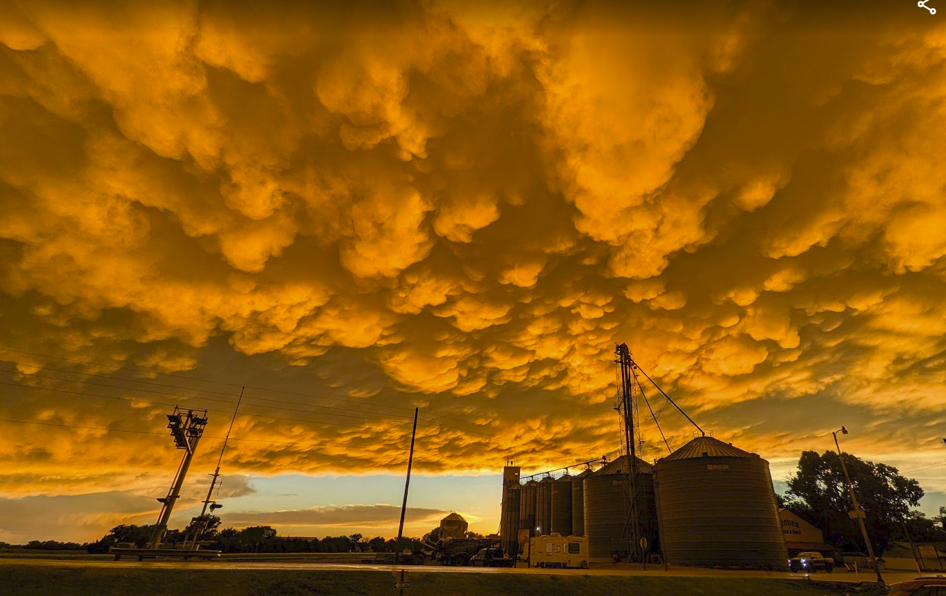
Later in the evening, the sky was very dramatic as the storms continued to the east. The photo from above was taken in Yoder, Kansas as the sun set.
Overall – we counted three possible brief tornadoes in Rice County with success of staying completely out of the hail. Storms formed into a line and the best views waned as the evening continued.
Community Comments
Very cool
Reply to Tucker Hayman
Want to leave a comment? Join our community → OR Login →