

Published on
We started the day in Manhattan, Kansas, with the idea of targeting the Marion, Kansas area. Storms quickly developed around 4 pm, the first near Herington, Kansas. We continued to drop south to Butler County and stopped near Burns for a few minutes of storm monitoring.
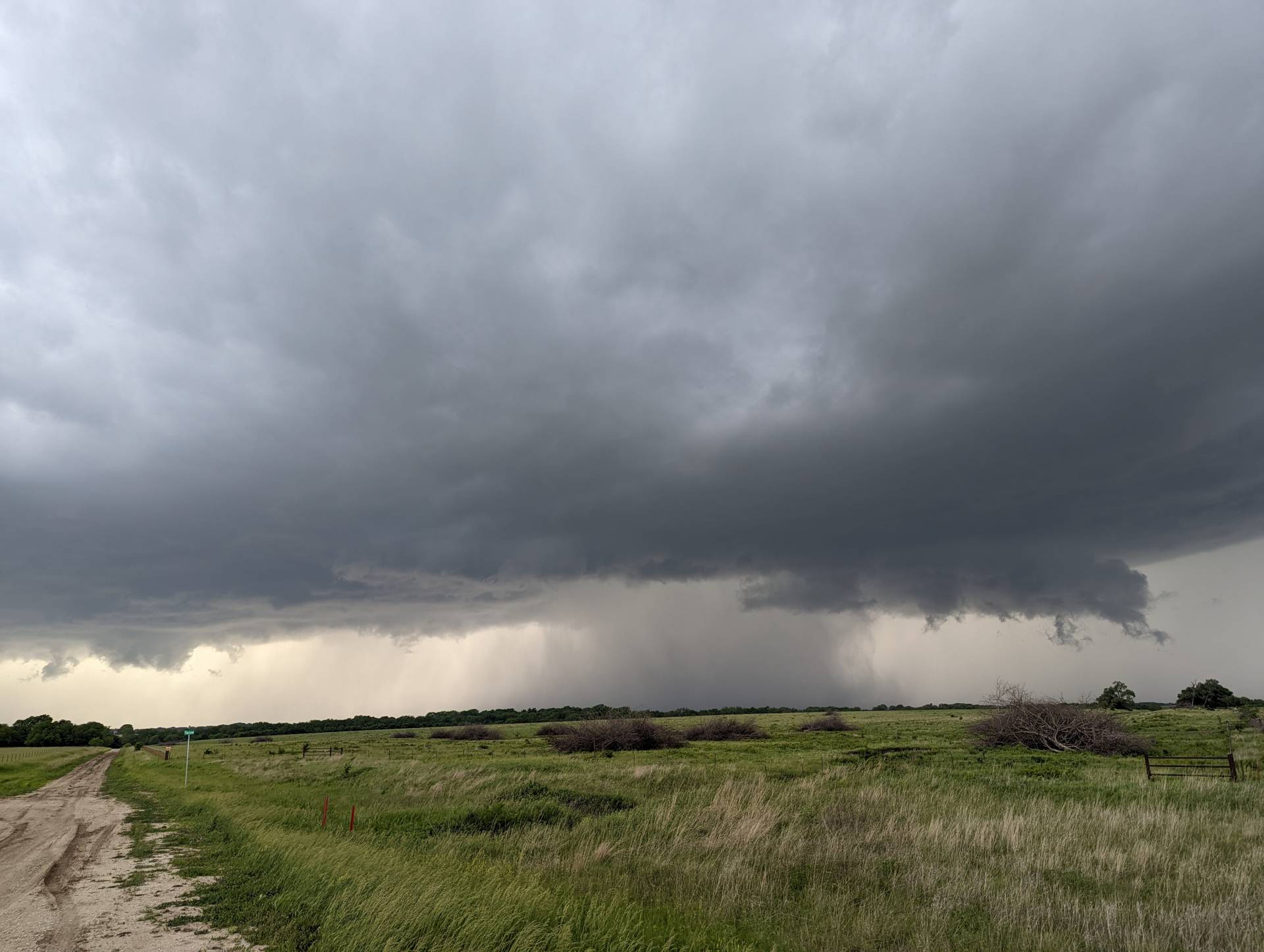
Storm mode was expected to be more Supercellular, but the storms took more of a linear mode fairly quickly.
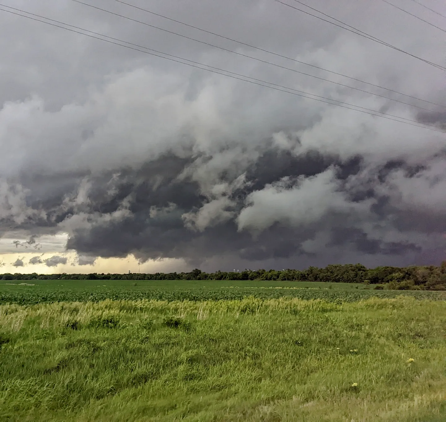
The skies got dark and storms continued to track northeast. Most storms were heavy rain and wind producers, as we did not encounter any hail.
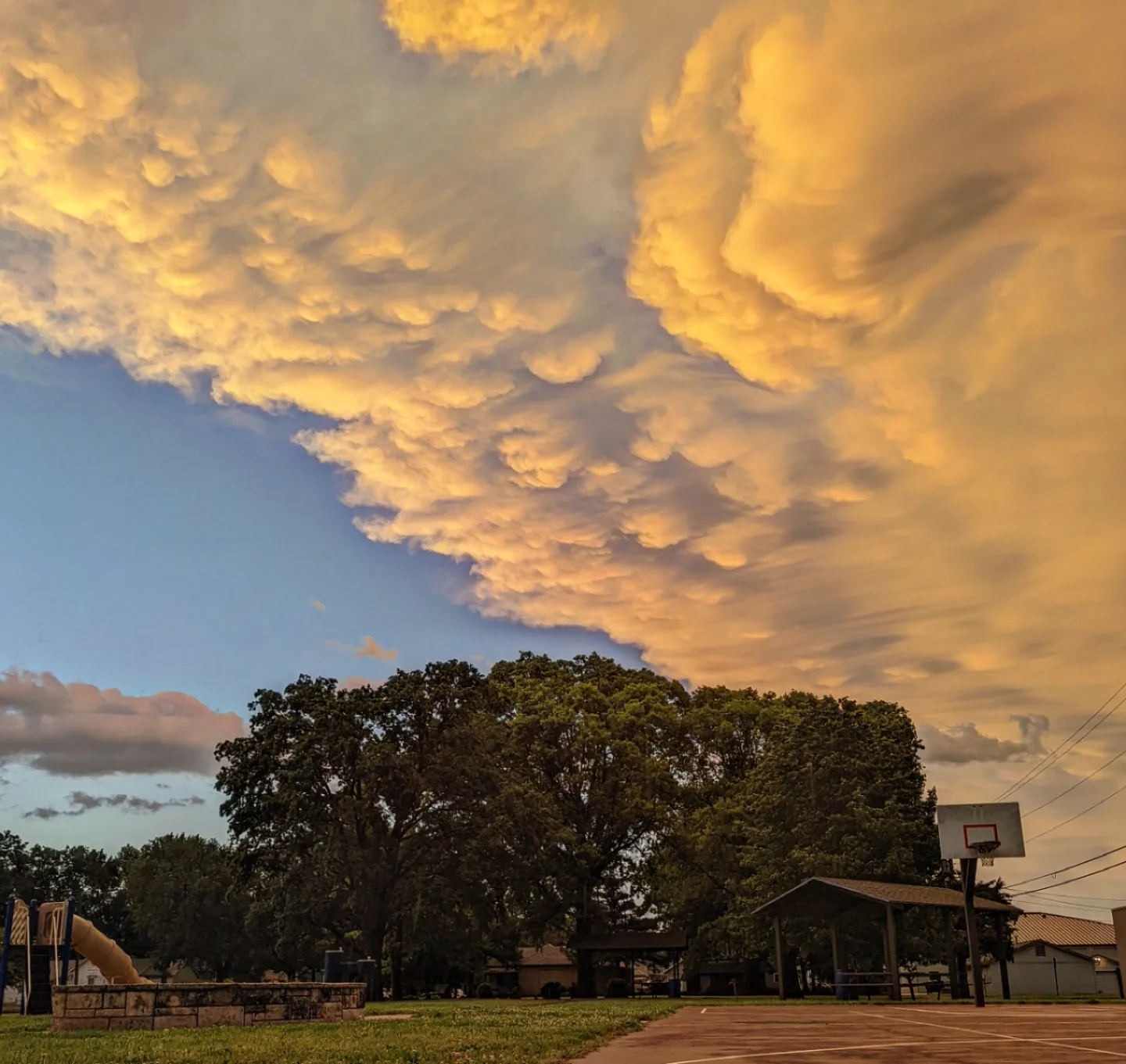
At sunset, the mammatus created a glorious view.
Community Comments
There are no comments on this post
Want to leave a comment? Join our community → OR Login →