Published on
May 23rd started off with a good rest and freshening up in Wray, Colorado. I headed west toward Limon to catch the first in a couple rounds of anticipated storms that day. I was running late though and approaching Limon just as the first tornado warned storm of the day was sweeping past on its way north.
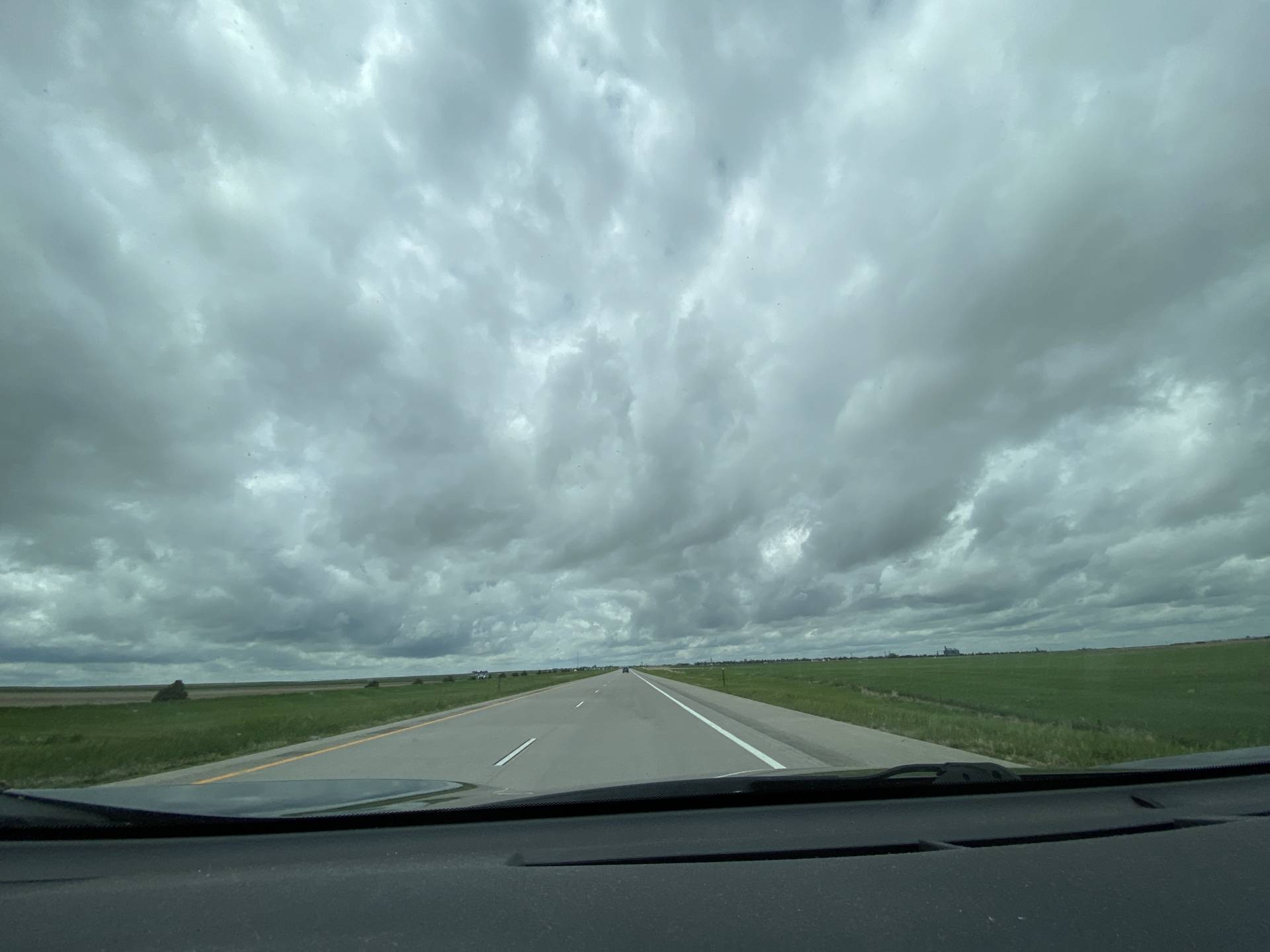
I considered flanking the storm northward on Route 71, but was concerned that positioning for the notch could wind up running me off into untested roads and that hanging south could leave me gazing mushwise into the back of the storm and never able to cut back ahead. So I headed east to Genoa and took County Road 31 north in hopes of using that as my flanking route.
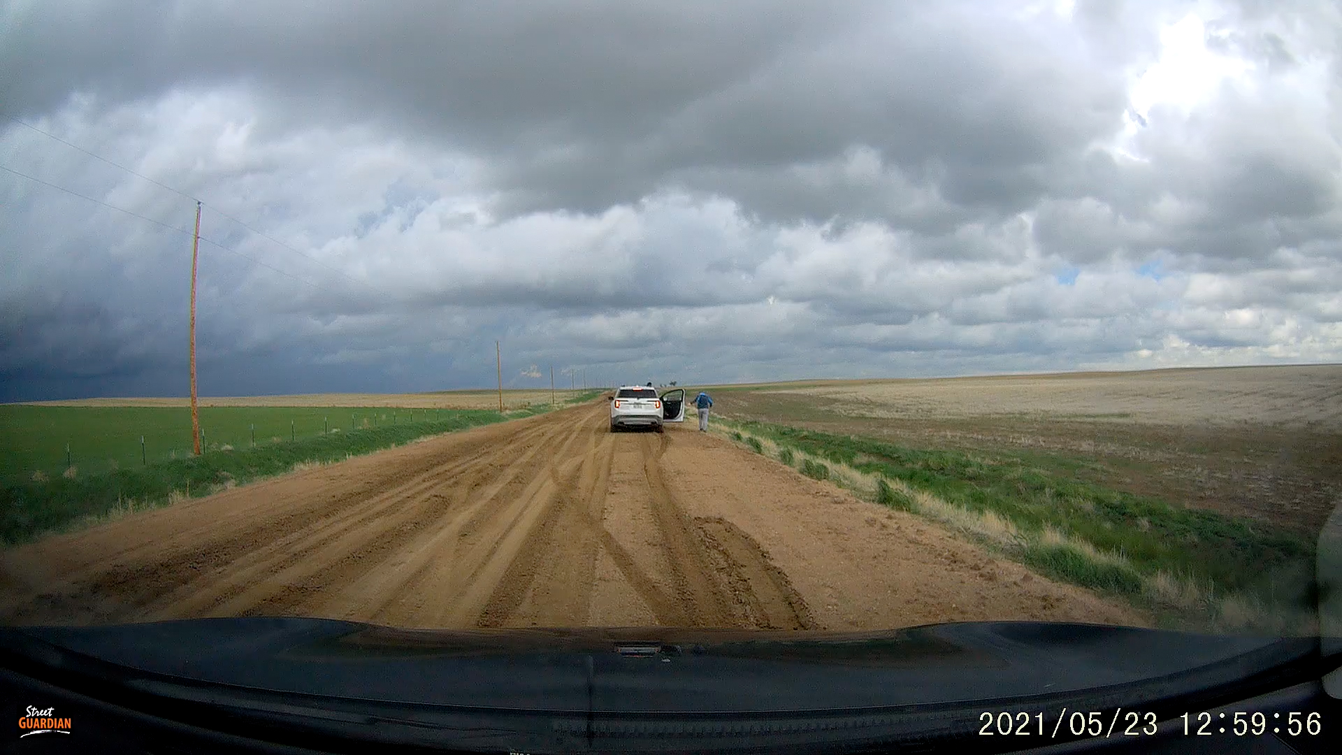
The road was great. Until it wasn’t. About 13 miles north, I stopped short to see a couple chasers delicately trying to turn their vehicles around on the slick surface of a portion of the road that had seen a lot of recent rain.
I tried another option on CR3S to get east then get back north but that wound up sketchy too and figured at that point I was probably not going to keep pace or catch up with that lead cell. Looking back at the storm’s path, slow movement and other chaser angles, I could have used Route 71 to keep with it, but didn’t know at the time it wouldn’t press eastward more.
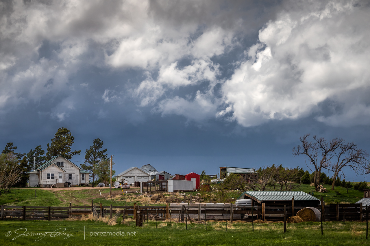
I set myself back up on the less messy legs to the west of CR31 and watched for new development south of the original storm.
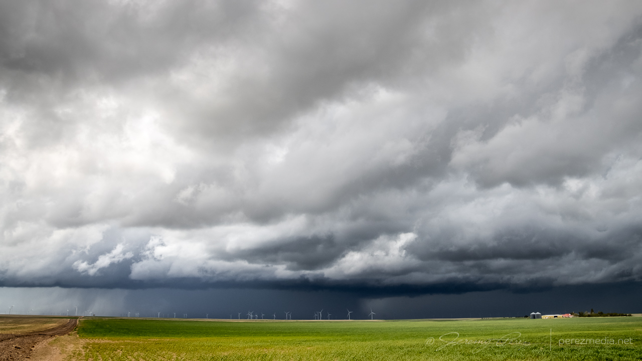
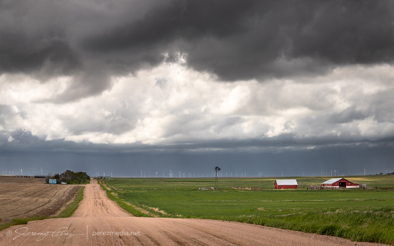
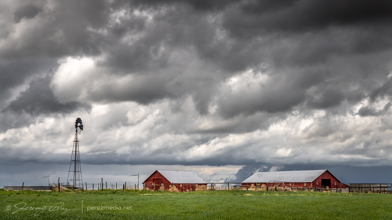
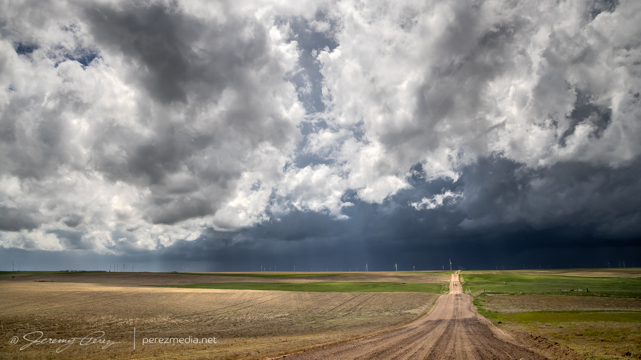
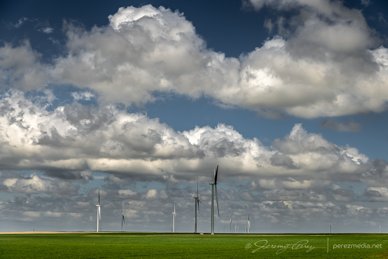
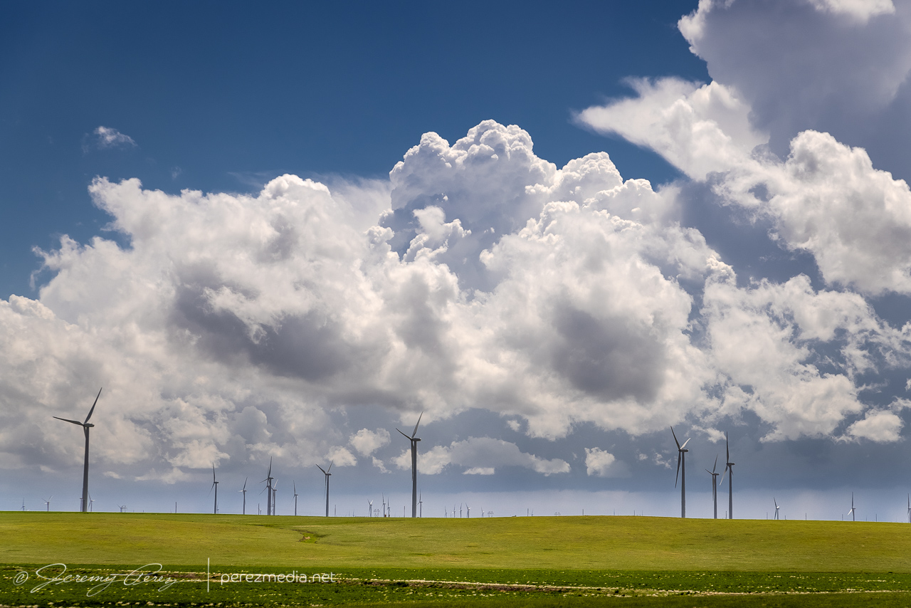
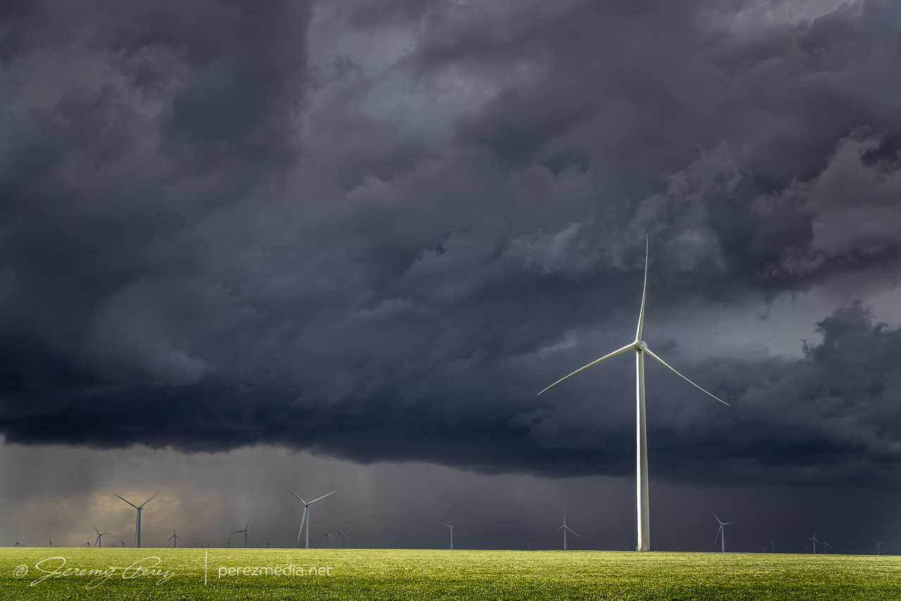
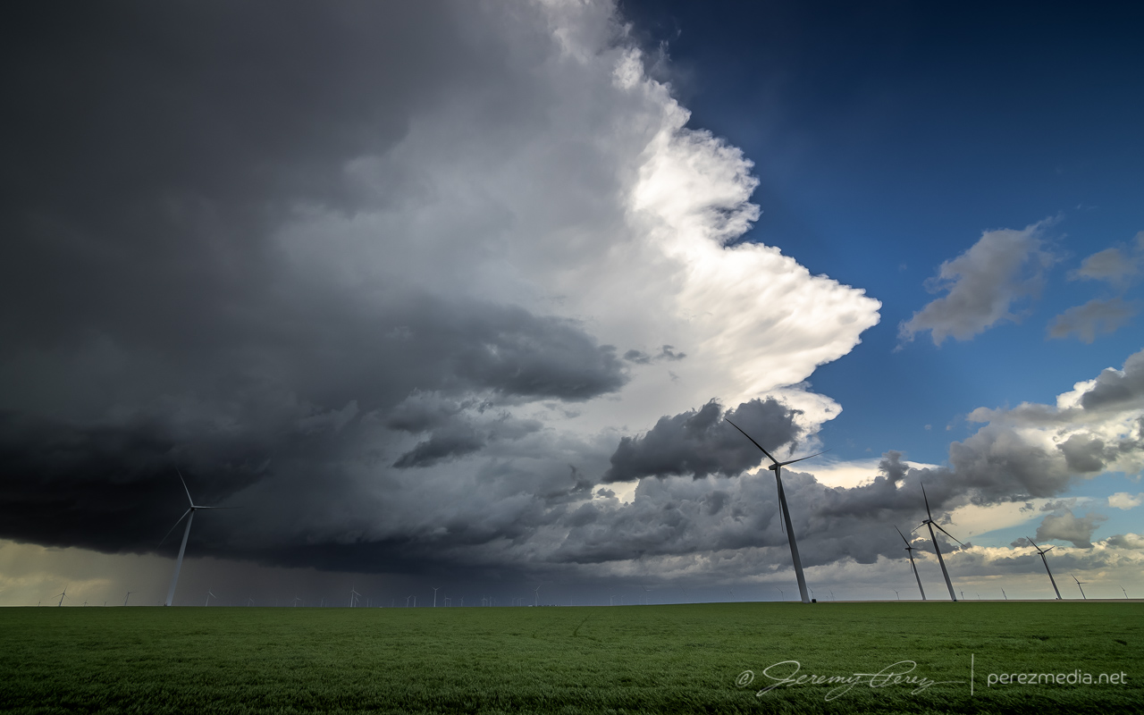
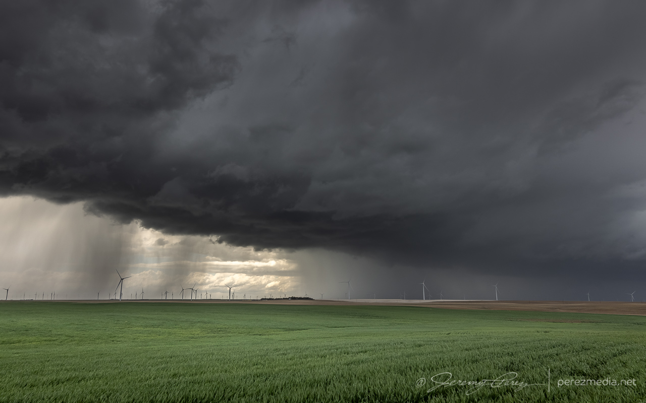
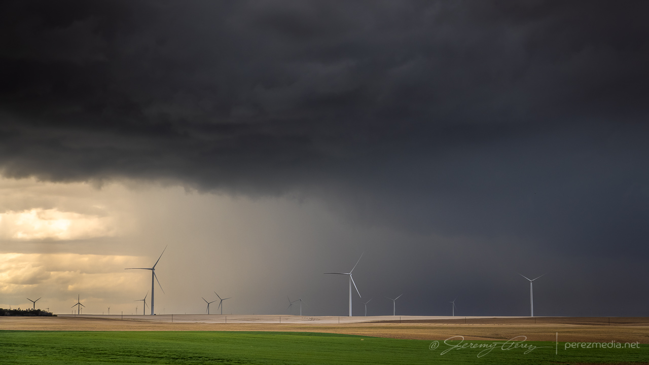
For a while, I cruised around on CR3N, 28 and 3R watching the back building line dress up the wind turbine fields. The wind pressing into the boundary and forcing up the storms was fierce and I had to be careful every time I opened car door to be sure it didn’t get ripped out of my hands or crash into some part of me or my gear.
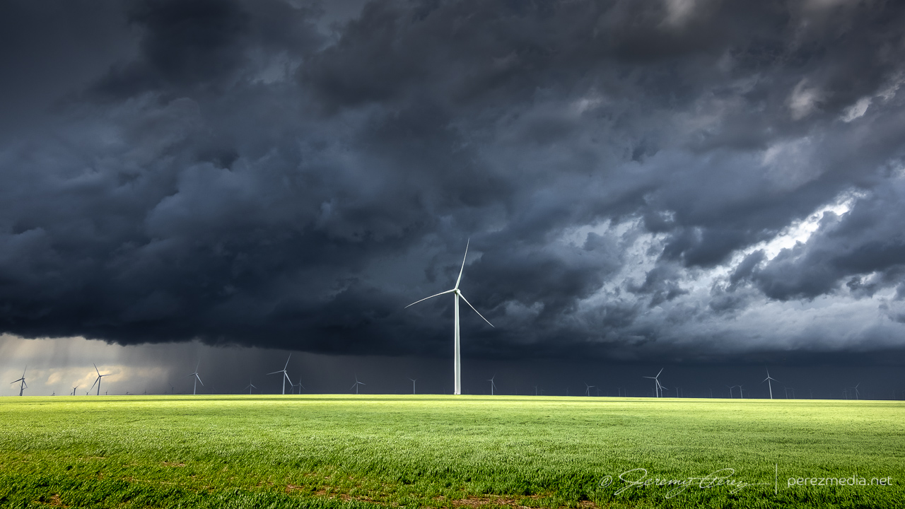
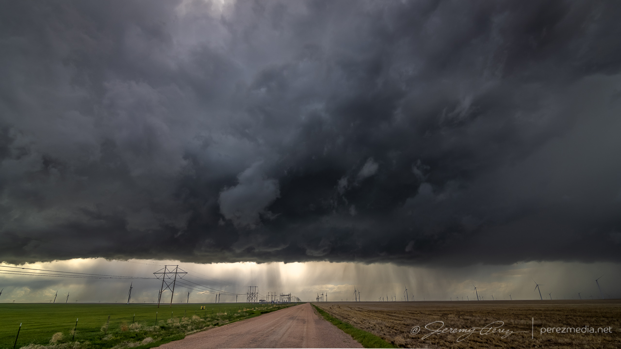
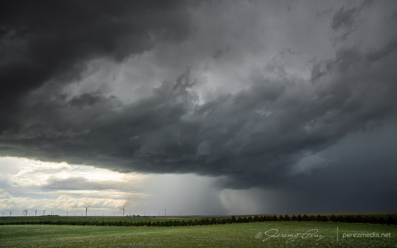
Around this time, as the boundary and line of storms continued advancing slowly eastward, a new batch of cells were popping to the south and a bit east of the boundary. So I cruised south to get back to I-70 to hedge bets on both of them and reposition faster.
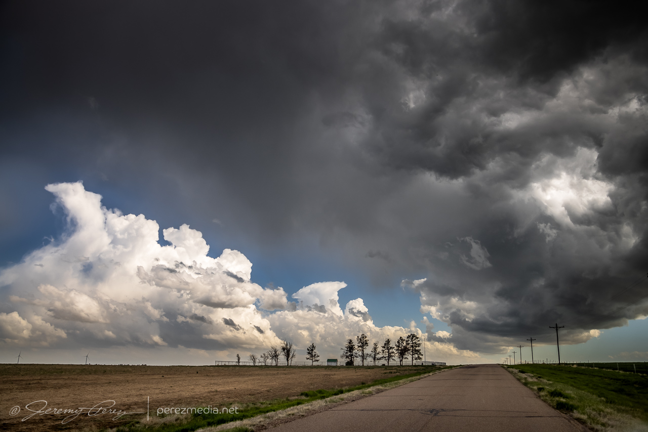
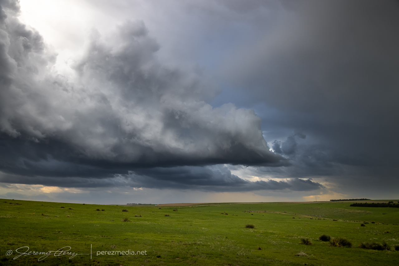
As I got down to Genoa, a new area of organization nudged into the line. I watched it and grabbed some shots, but as expected nothing materialized as it filled in with precipitation and moved off to the north. I should have taken this as a hint of more serious opportunities in the making with the tail end of that line. But at the time, I figured I was still mostly in landscape & moody sky mode.
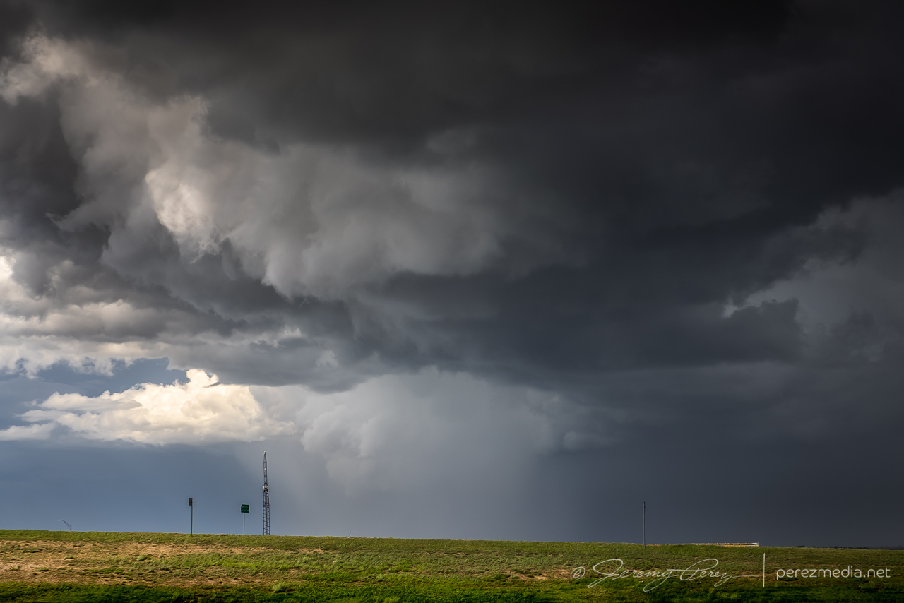
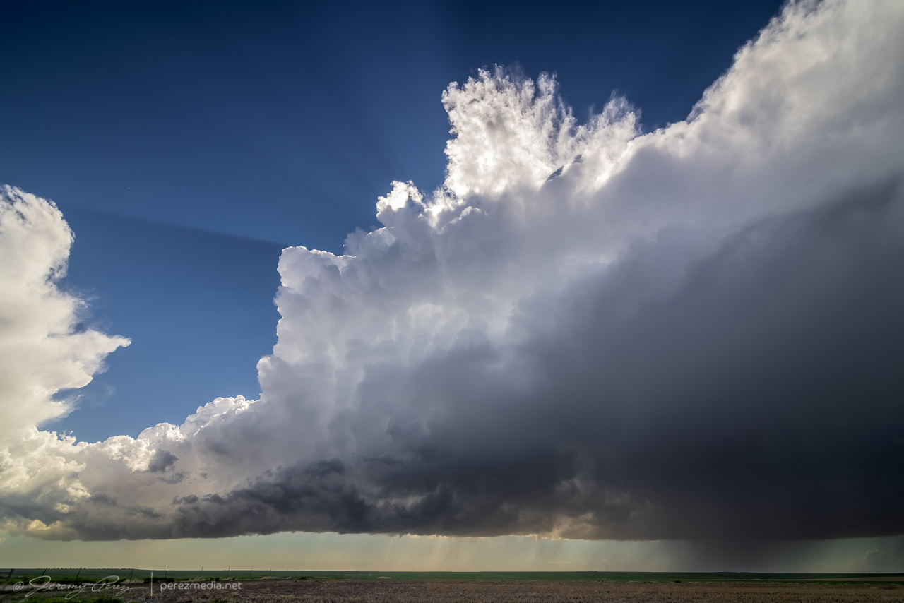
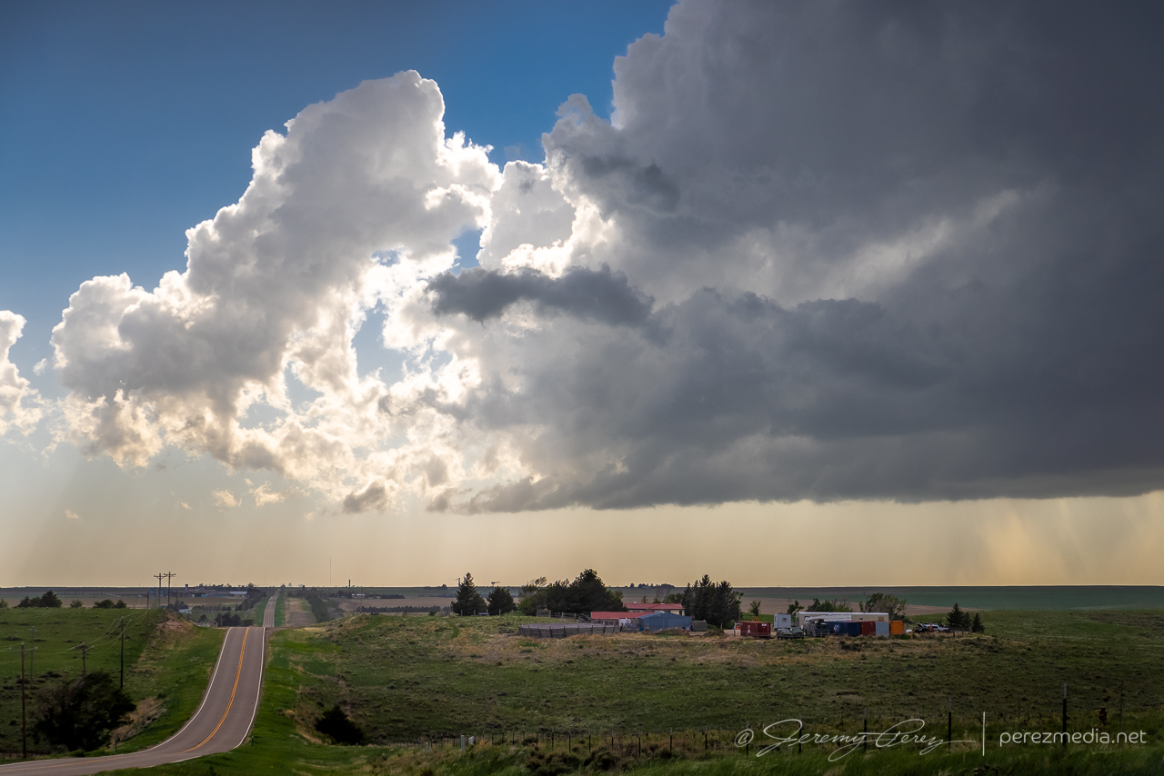
I hustled east to Flagler to gain some ground and be ready for developments to the south. I set up about a mile south on CR5 and watched ongoing development and crepuscular rays drifting across the bubbling towers.
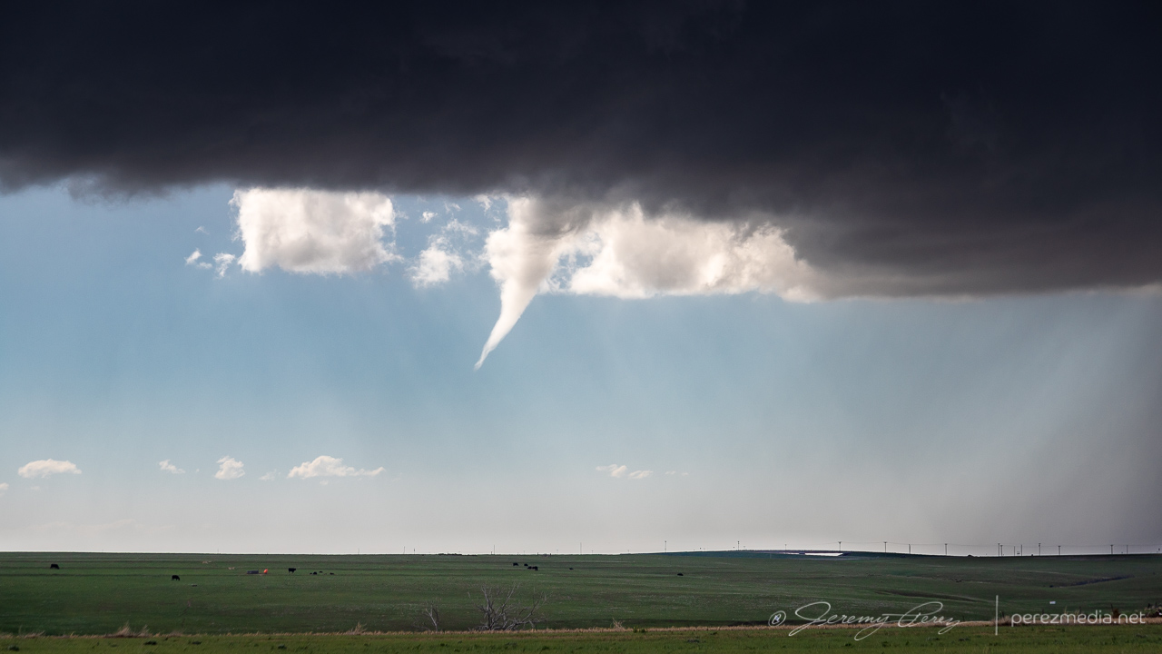
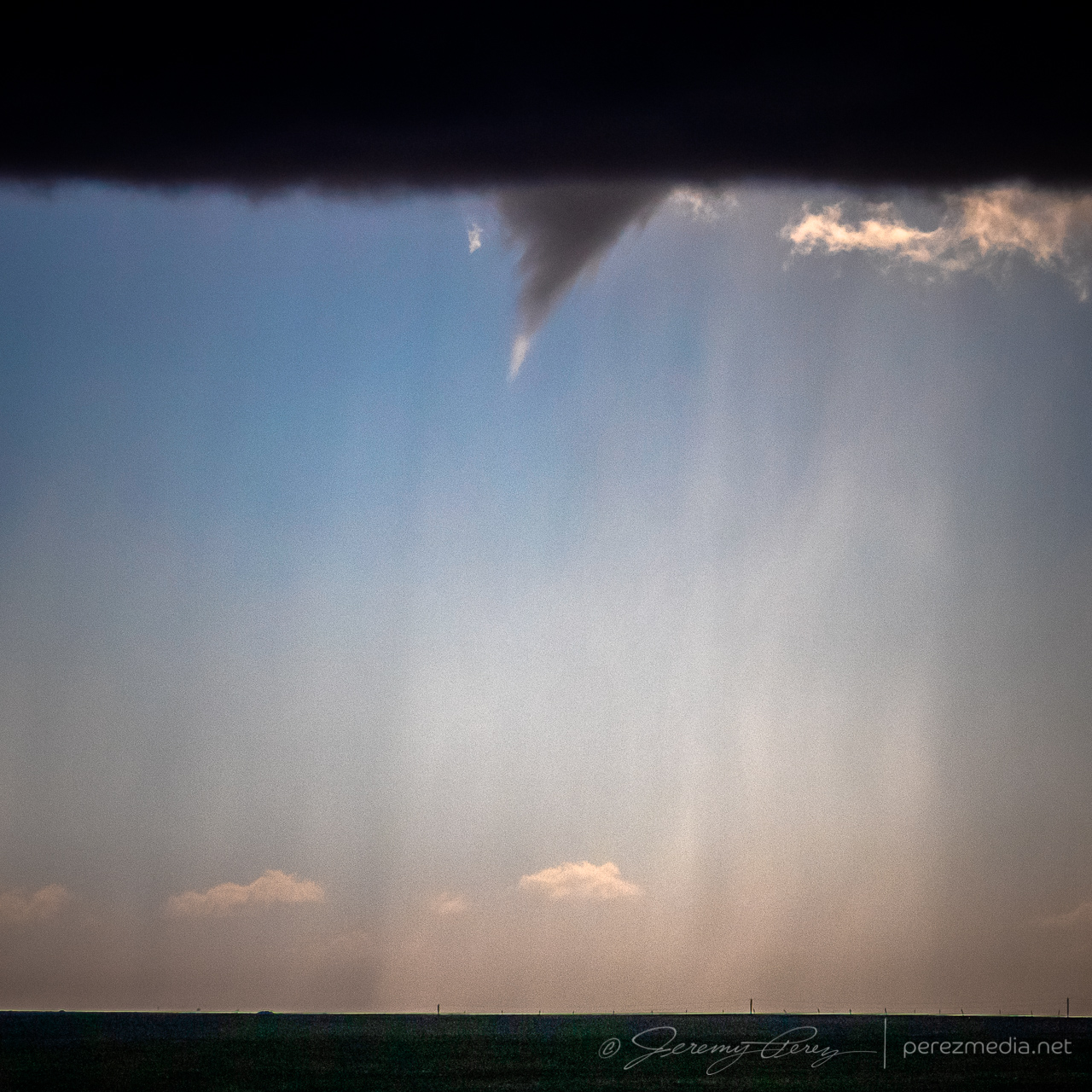
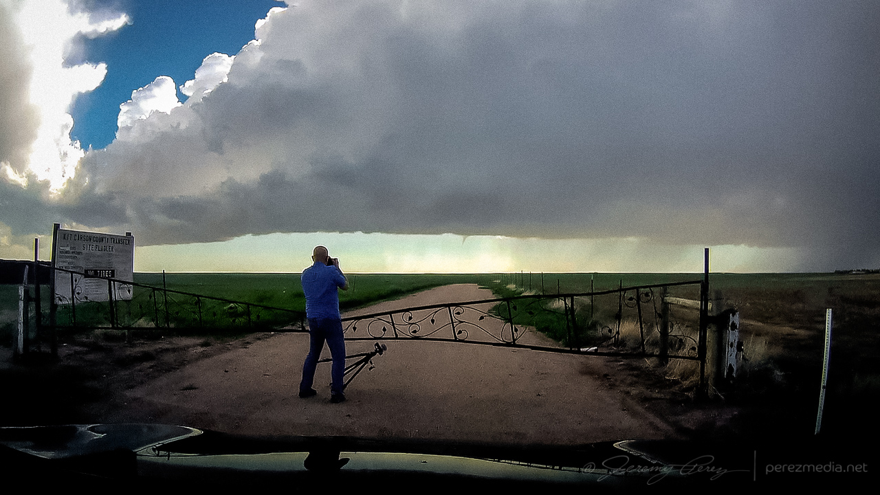
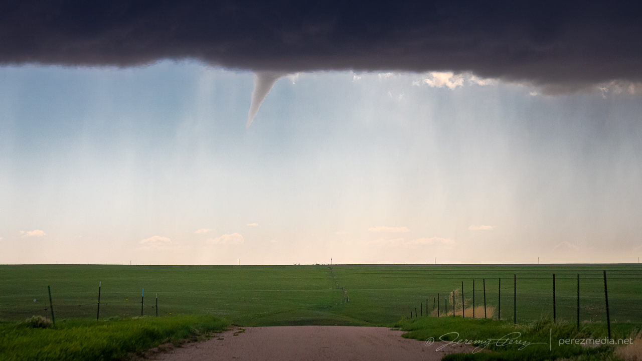
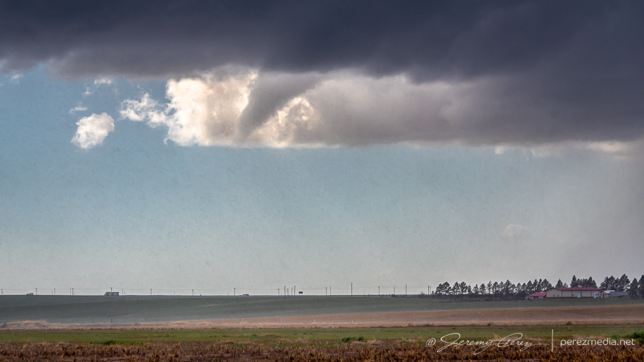
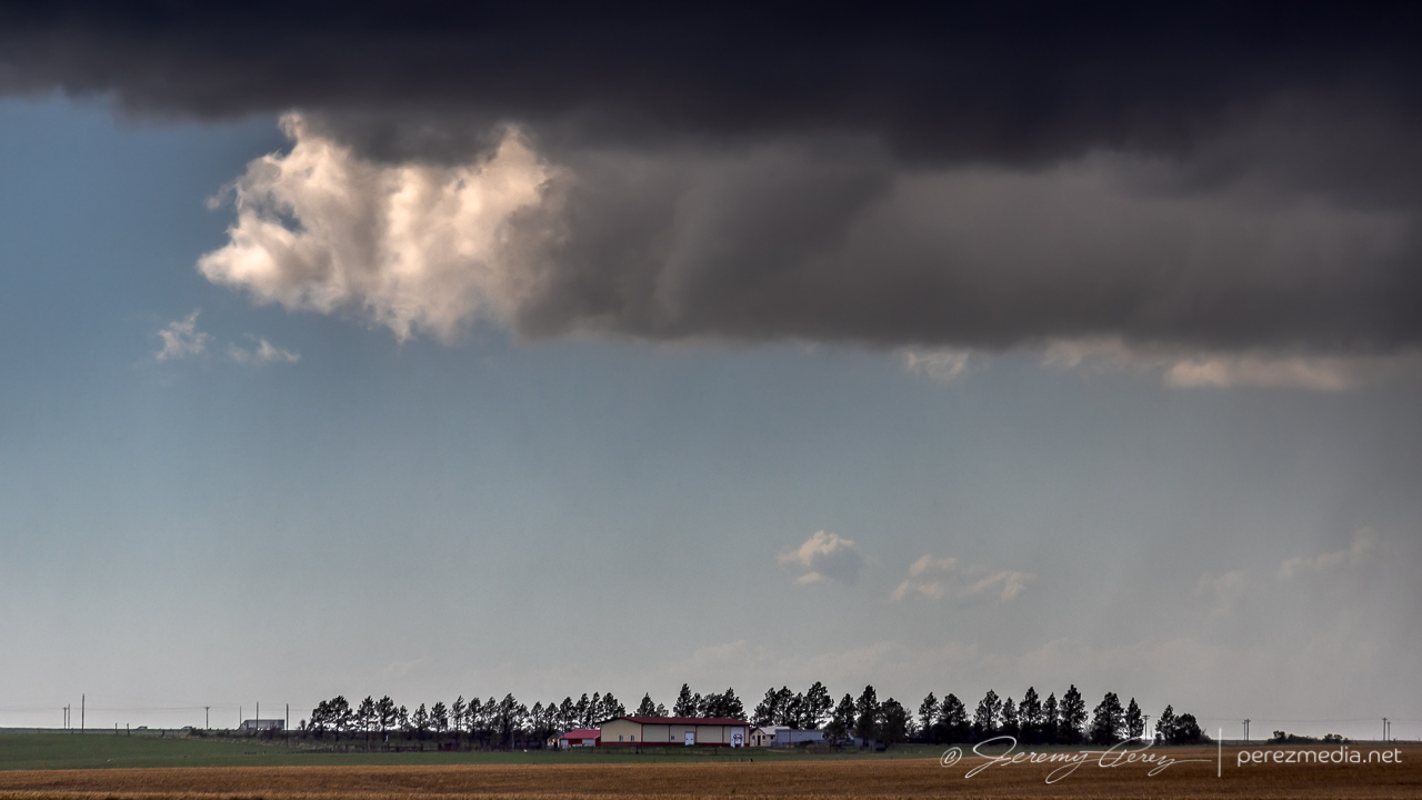
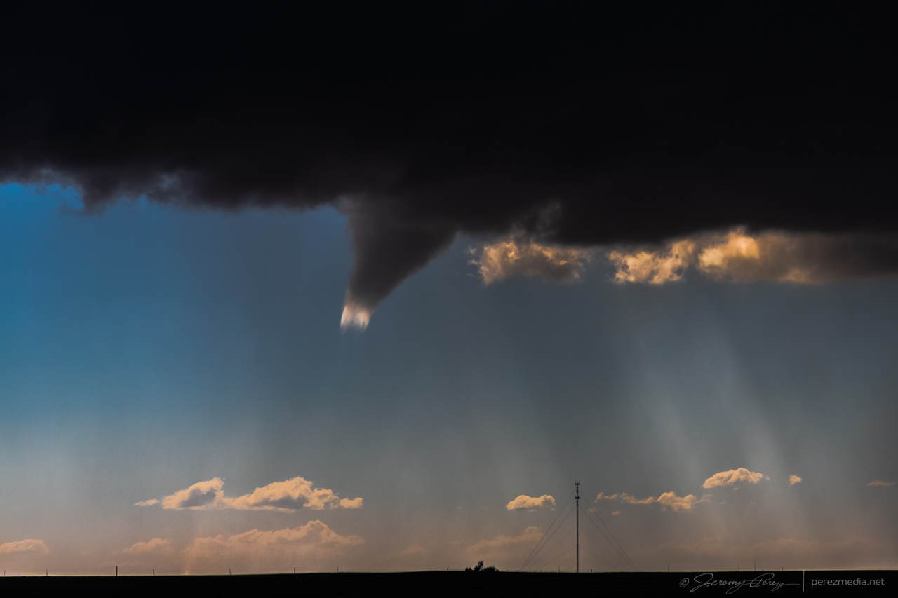
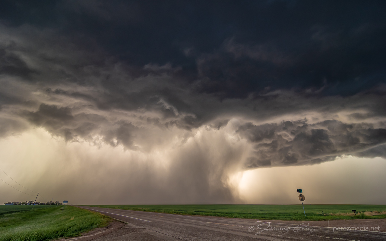
At 2241Z, I was just beginning to drive off for another vantage, when the tip of a funnel caught my eye. I quickly pulled back into my spot, grabbed the still and video cameras and hopped out to capture it before it disappeared. The wind was still fighting me every step of the way. As soon as I released grip on my tripod mounted video camera to fire off a couple still shots, it got toppled. I hadn’t extended the legs yet and so it didn’t fall far, but still a few anxious seconds being sure nothing was damaged.
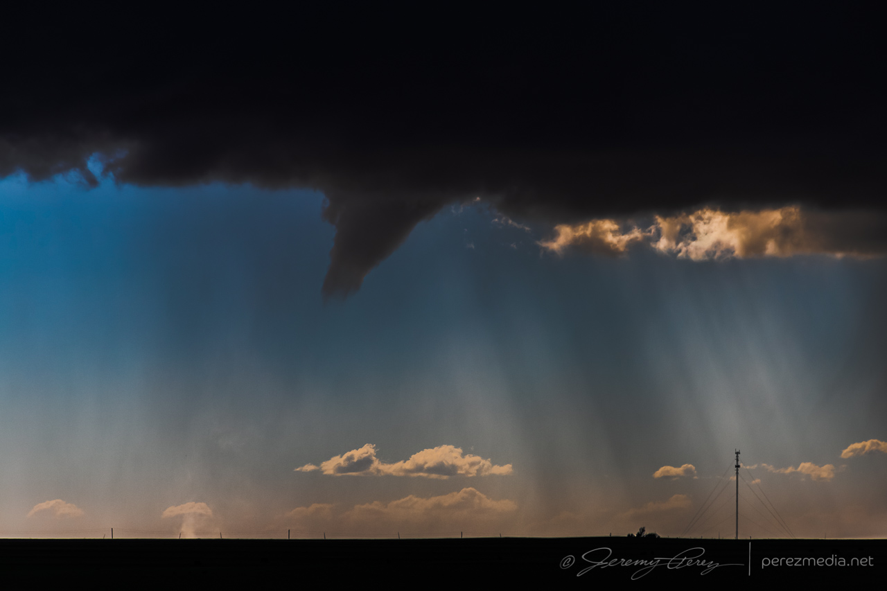
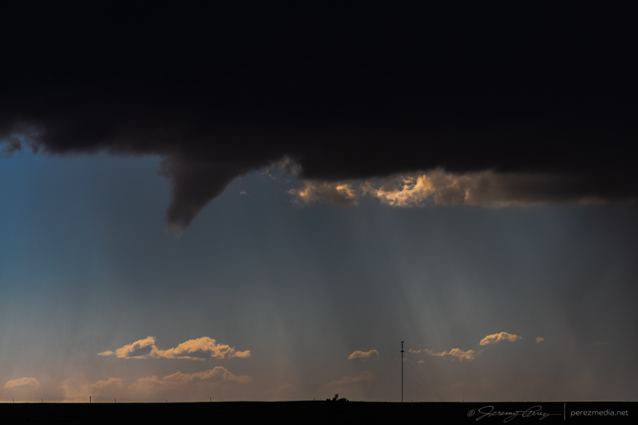
After extending the legs and then bracing it against my body, I got the video started and went back to alternating between stills and re-framing video. Meanwhile, the funnel had thickened up and had my hopes up that it might fully condense. It never took things that far, but was a gorgeous sight as it drifted into dappled sunlight and glowed brilliantly from behind. It showed off for about six minutes before rain started to fall and I jumped back into the car. It went on for another couple minutes before receding as that notch in the line continued northward.
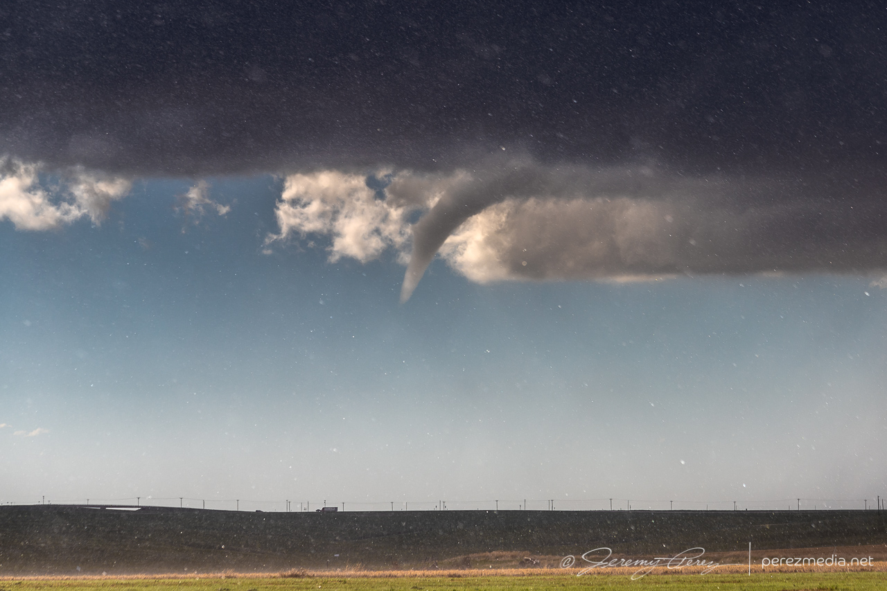
I filed a spotter report for a funnel with no ground contact visible from my vantage due to poor contrast and intervening terrain. Later on however, a video surfaced on Twitter from Paul Smith/@PaulMSmithPhoto showing ground circulation from his vantage in Arriba. (https://twitter.com/paulmsmithphoto/status/1397038858265579521) I went back to my footage and stills with strong contrast edits and found frames that showed the dust plume at 22:45Z.
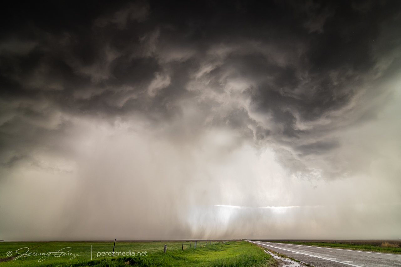
I had some time to enjoy that moment as I drifted further east on I70 and storms along and ahead of the boundary to the south started to get stronger. I lingered around Stratton and grabbed more shots of those as they moved in.
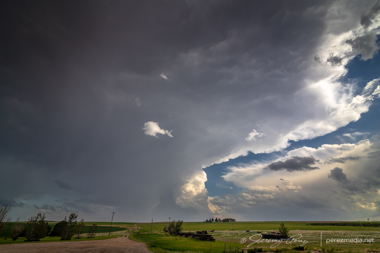
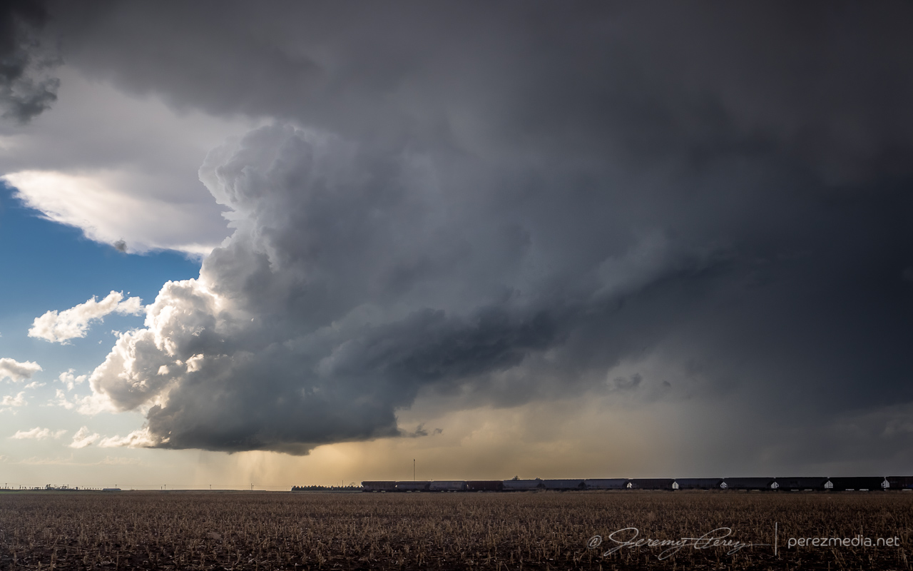
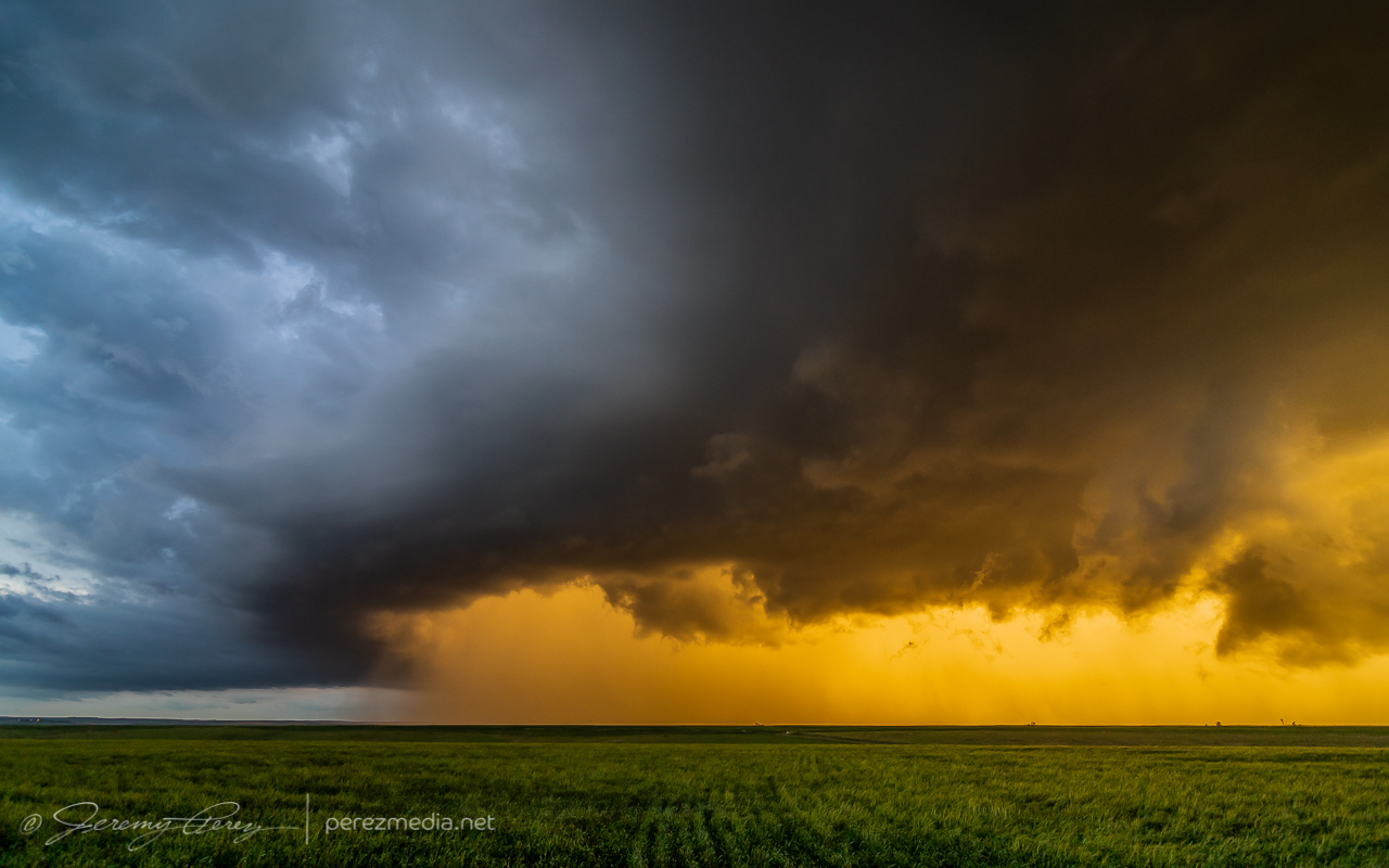
By 0000Z, the storms to the south were getting serious enough that I wanted to get in a good spot to surf them as they piled in. I headed north on SR57 and then east to Idalia where I had a great view of a cluster of multiple rotating updrafts moving in as the sun was starting to drop behind them. The glow through the precipitation cores was stunning and even though I wasn’t watching an isolated supercell, I was still captivated by the beauty and ominous quality of this gang of marching storms.
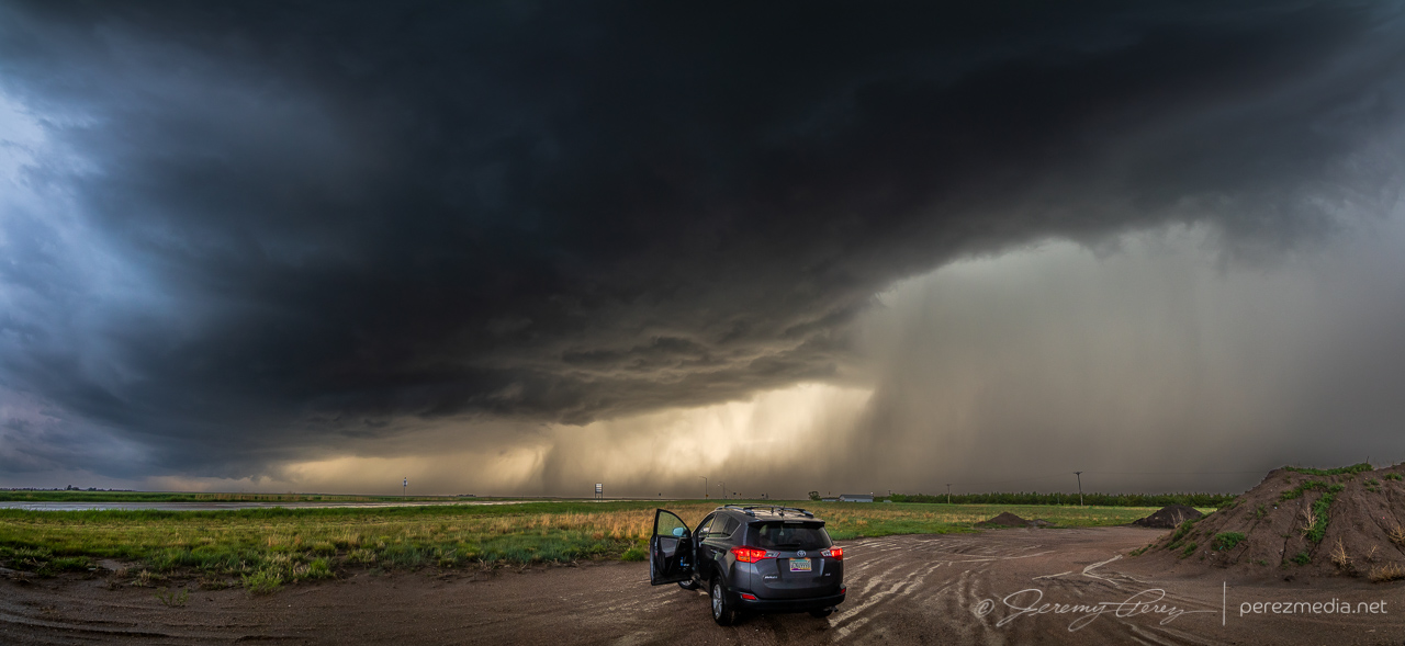
I continued to surf this scene east into Kansas along Highway 36 stopping at various points along the way to take in the heft of it. As the sun set, the brilliant yellow-orange glow set the cores on fire and went from one kind of spectacular to another.
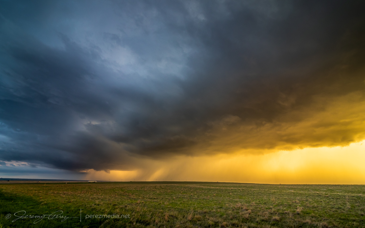
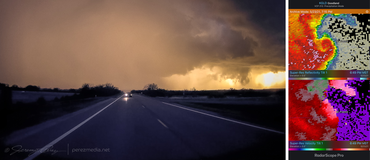
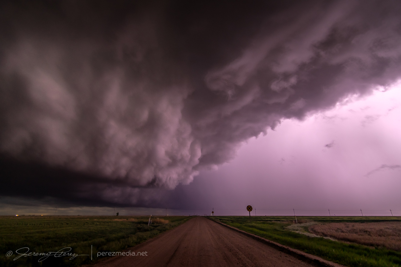
I wanted to pause briefly in St. Francis to watch one of the cells move in, but the line to the south began to surge quickly and I had to keep moving out of the way. A quick check of radar showed an ominous hook develop just as the storm moved past the town. Fortunately only some straight line wind damage was later reported there.
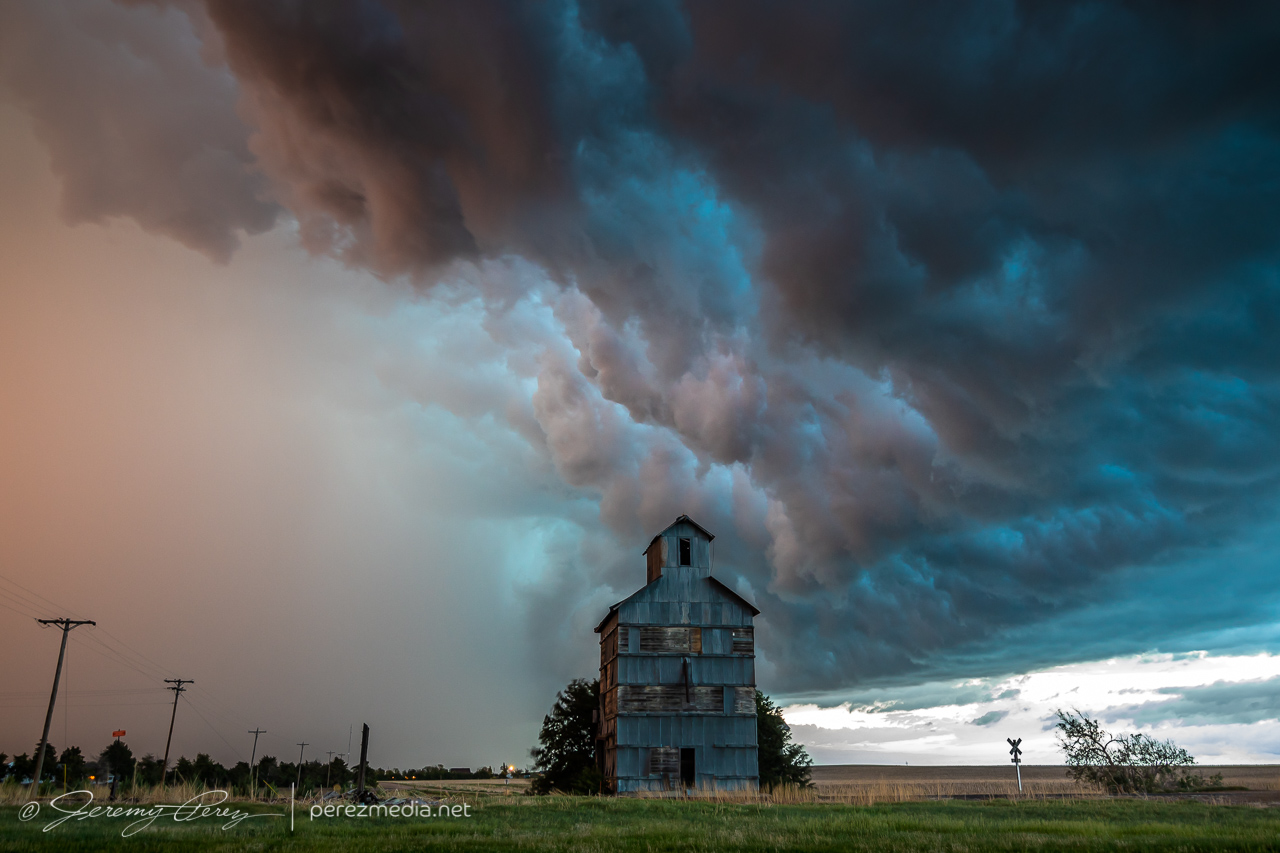
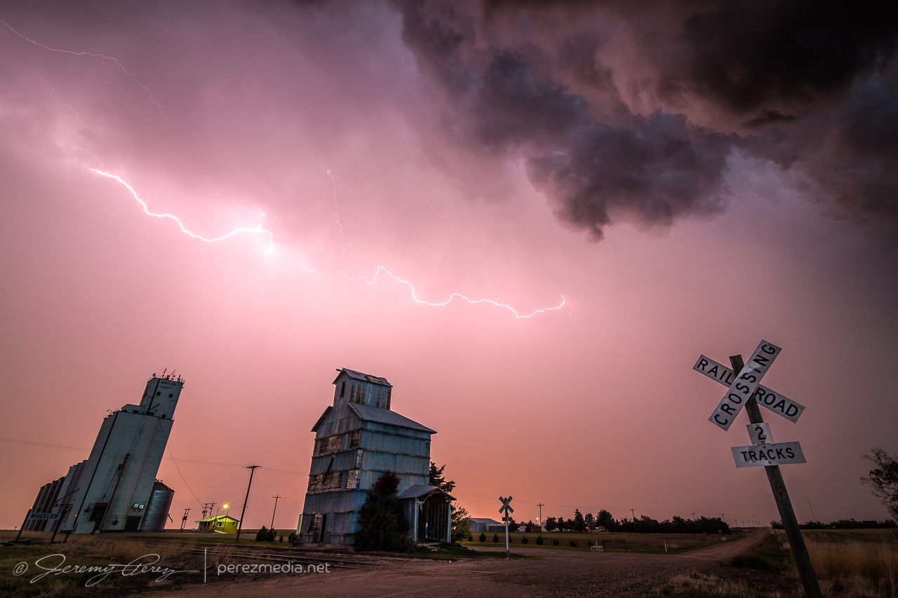
A few miles further east at Wheeler got me far enough to catch a breath and capture the whale’s mouth and lightning over grain silos and elevators. And then on from there, watching the gaping gust front flicker its way eastward.
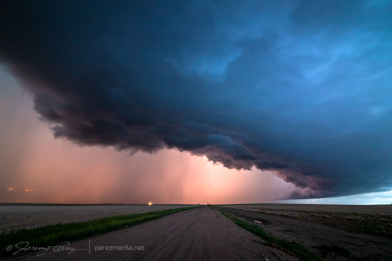
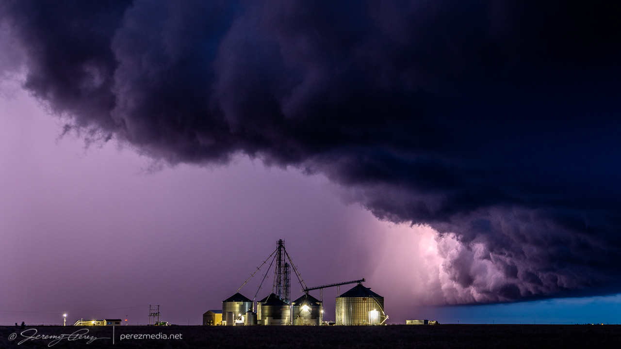
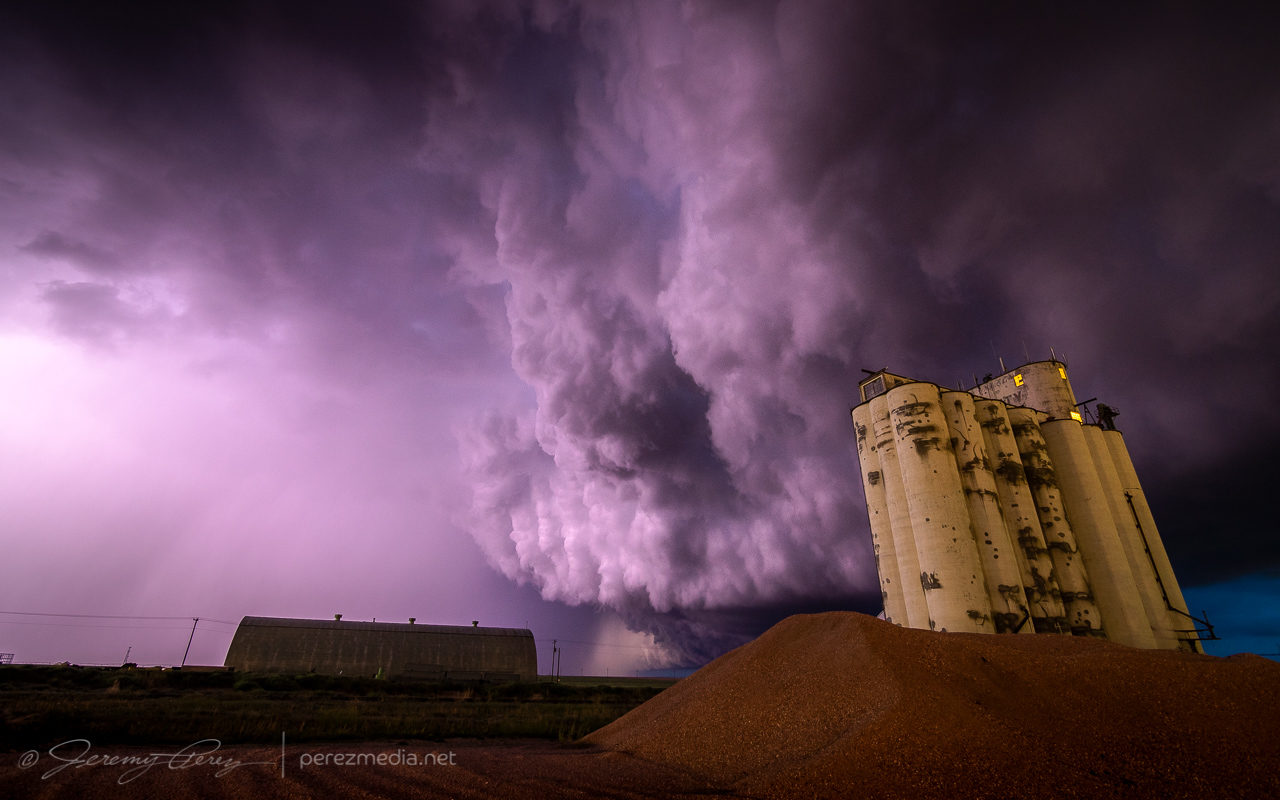
I finally let it go around 03Z near McDonald after about 8 hours of chasing. Despite some tactical goofs early on, this turned out to be a prolific and awesome chase day.
The tornado is now documented on the NOAA Storm Event Database:
EF-0 | Lincoln County, Colorado | 23 May 2021 | 2245Z–2250Z


Community Comments
There are no comments on this post
Want to leave a comment? Join our community → OR Login →