

Published on
After a long travel day on the 23rd, we set up near Logan to watch convection fire off the mesas north of Tucumcari. Even though there wasn’t obvious upper level support, enough shear and instability were in place for a supercell risk. And that’s exactly what we got. In the extreme.
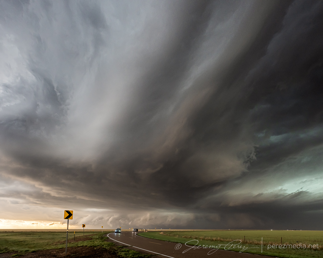
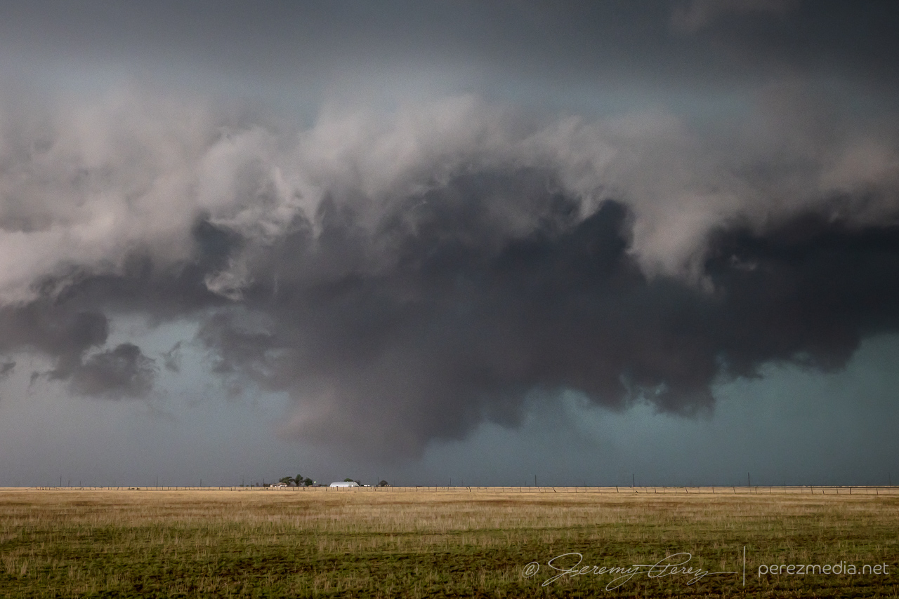
The storm we were watching gradually gathered strength and started drifting southward and we made our way south of I-40 on Rt. 278 to watch the slow-mover on its way down. The morphing wall cloud/RFD shelf was wonderfully chopped with texture.
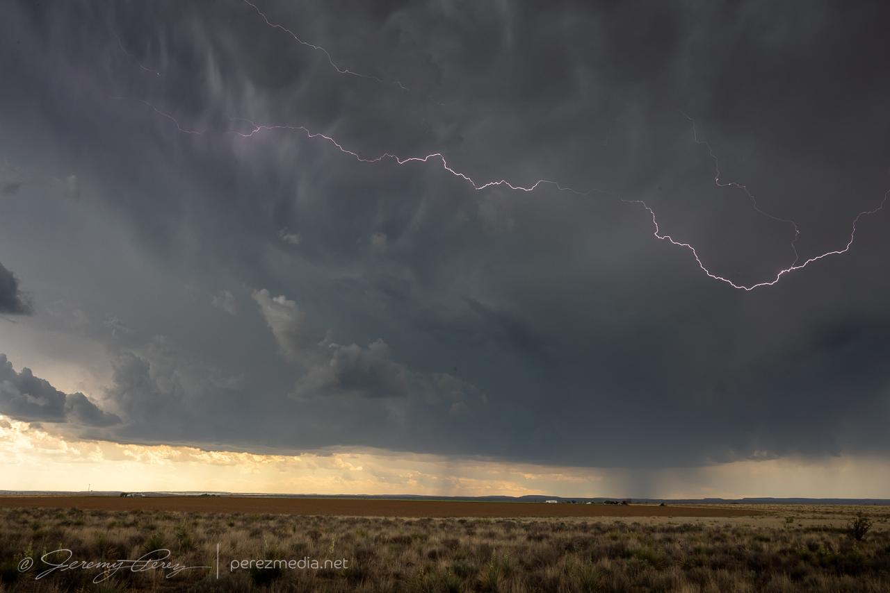
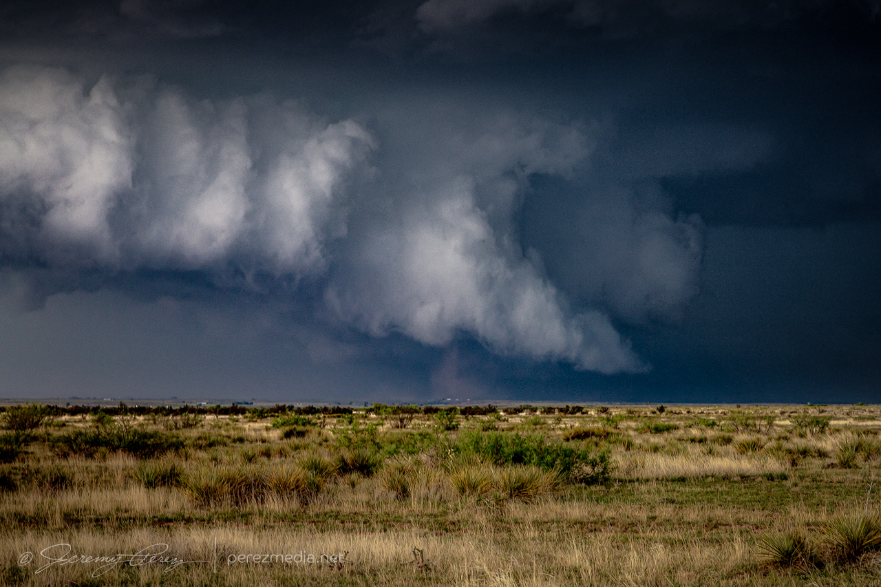
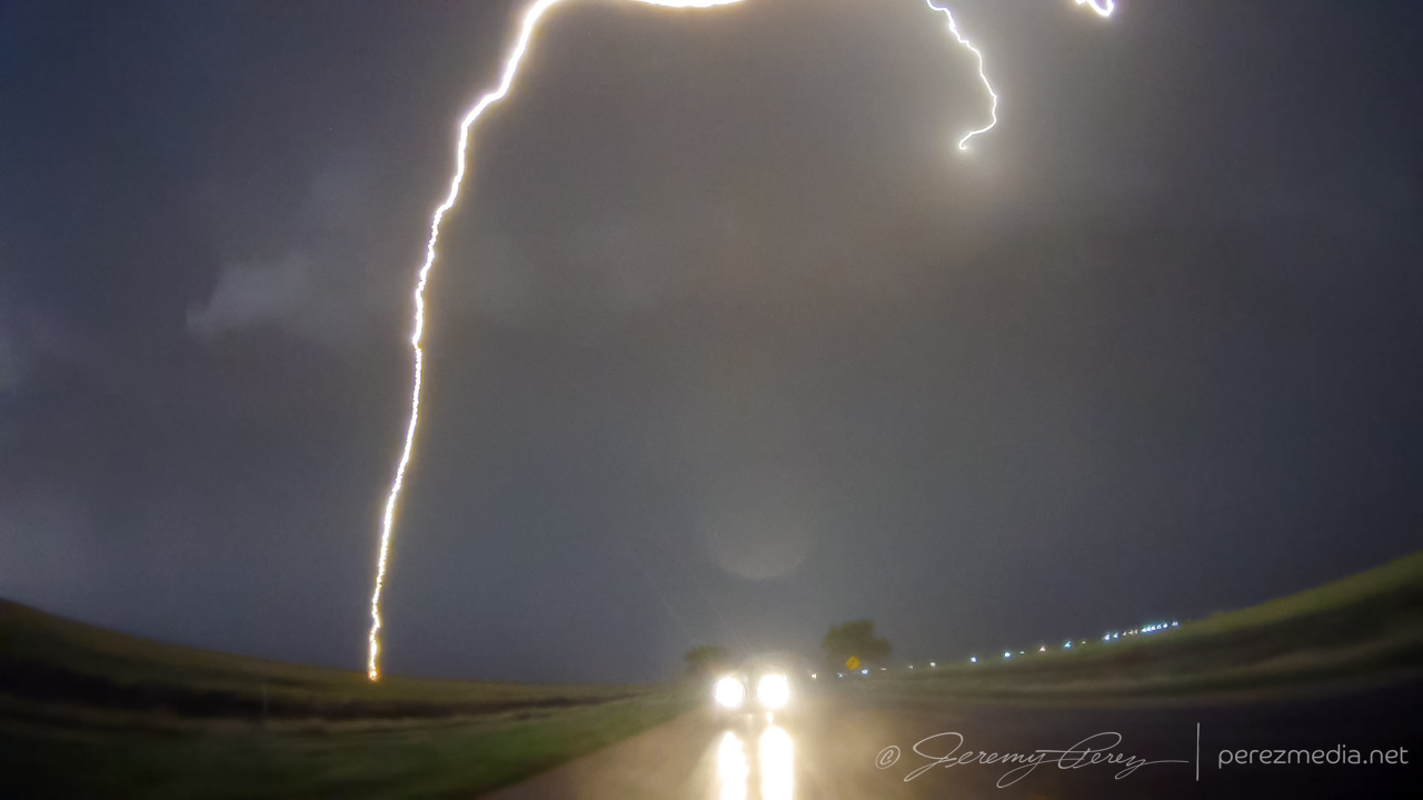
At 2343Z, a column of dust appeared under/north of the RFD shelf/wall cloud as we were repositioning 12 miles south of I-40. We quickly pulled over and I zoomed as tight as I could for photos (no video). The feature lasted about 3 minutes until 2346Z. I think the base of the storm was just south of the interstate at that point. As far away as we were, it was difficult to tell whether we were seeing a coincident gustnado, or if it might be a hybrid circulation in contact with the cloud base under the wall cloud. So far I haven’t seen clear images from other chasers at that time who were closer.
I anticipated the need to head off new cells popping off to the south. CAMs suggested this would be a likely evolution, but it didn’t quite work out that way. Convection did try initiating further south of our main storm and it encouraged me to stay well ahead so I wouldn’t get caught behind any new hail cores. But each new strong updraft got ingested northward into the dominant cell, like a long distance flanking line, and making a beautiful mess in the process.
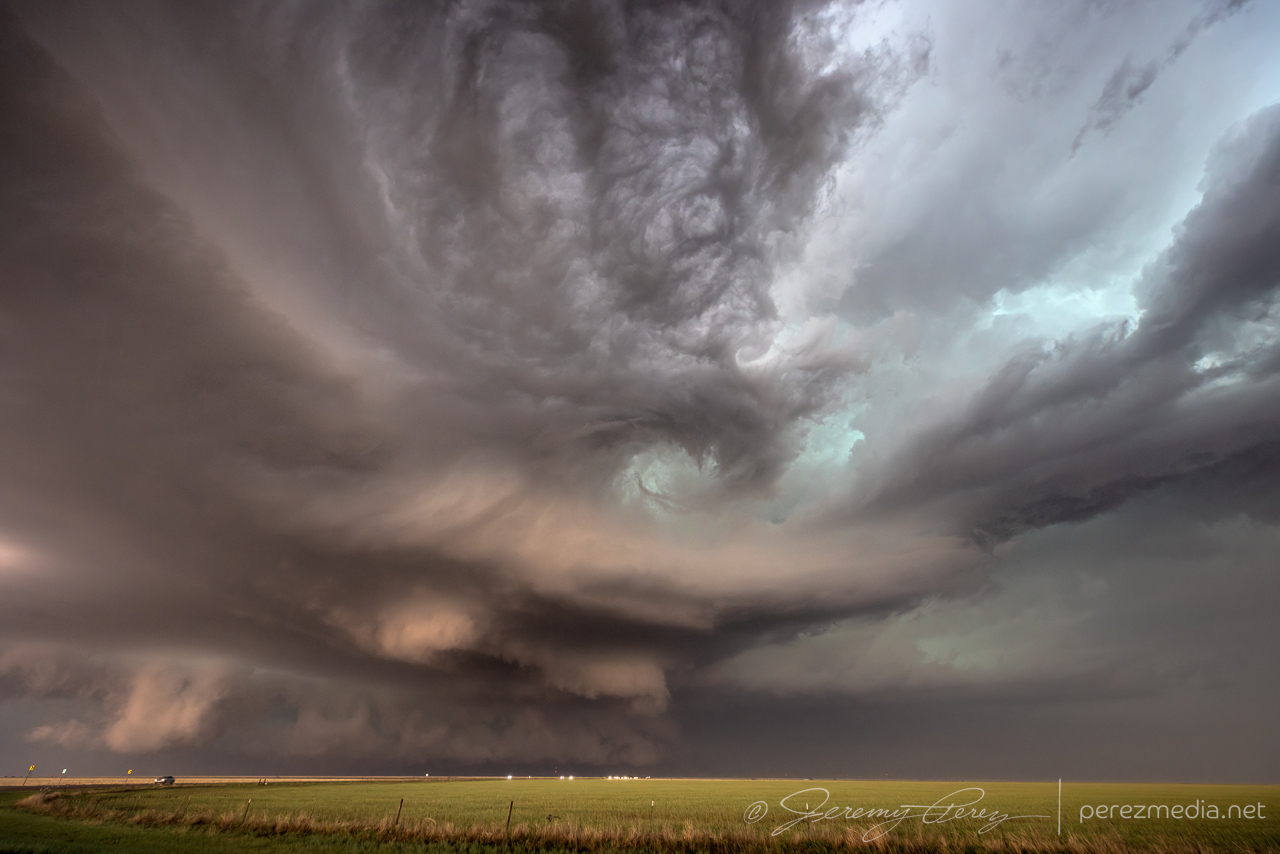
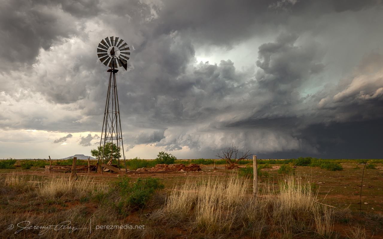
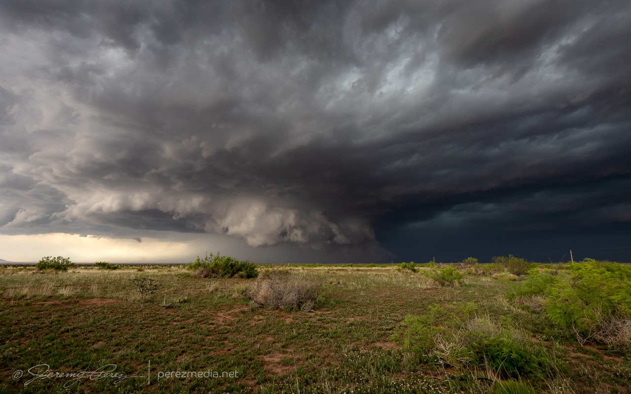
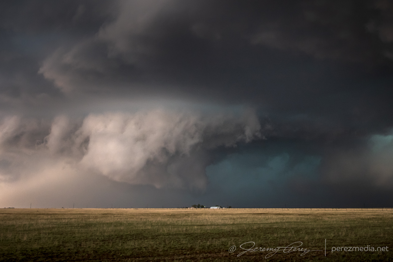
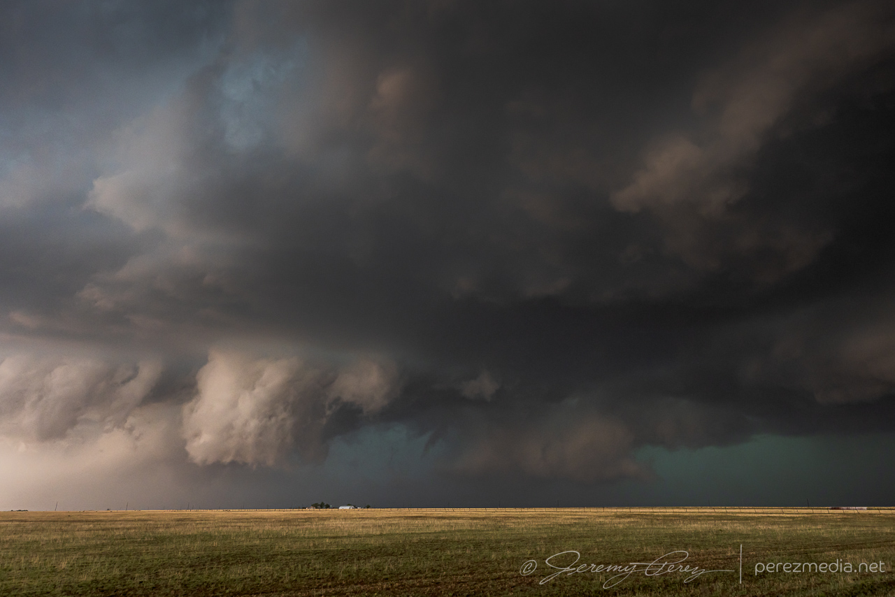
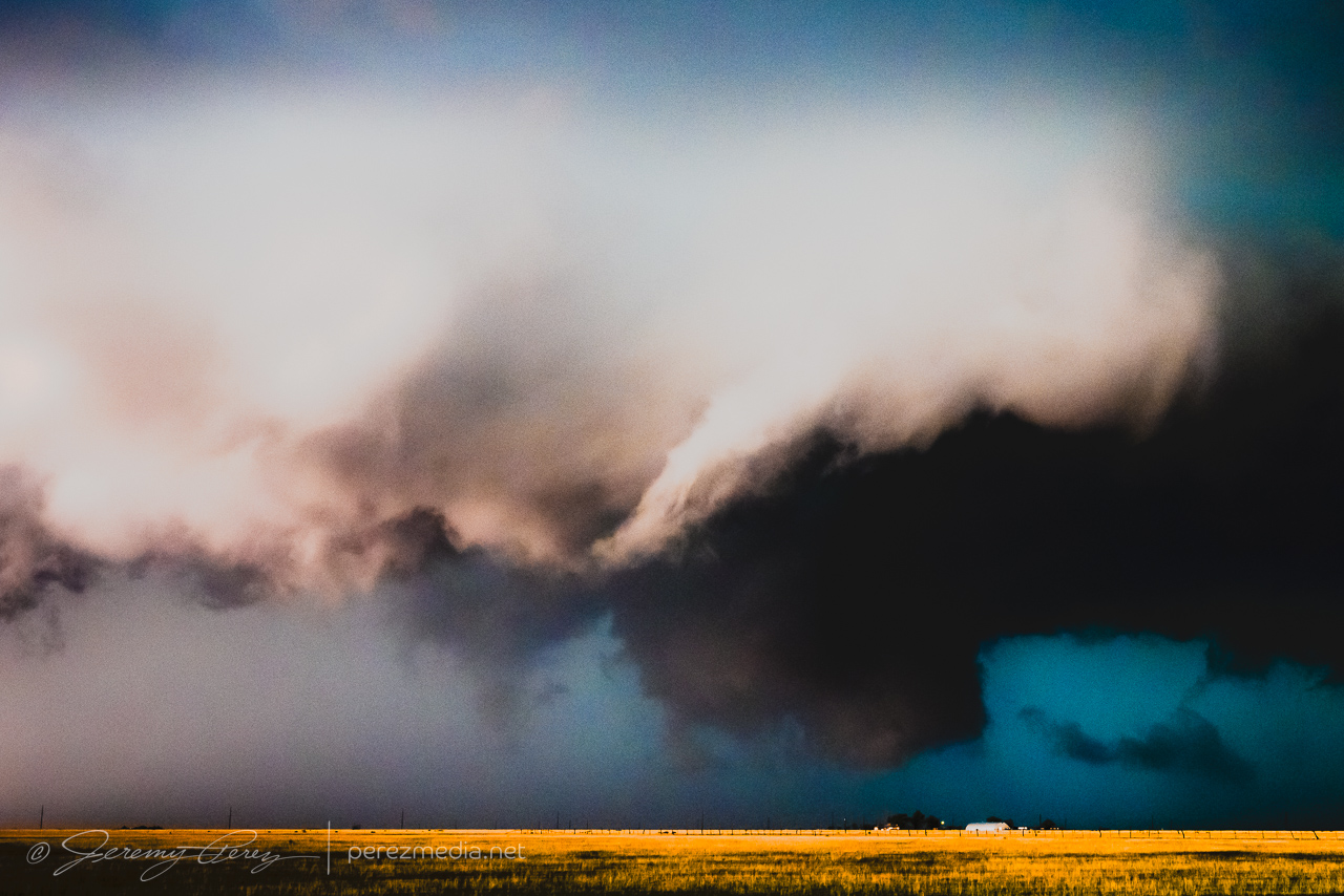
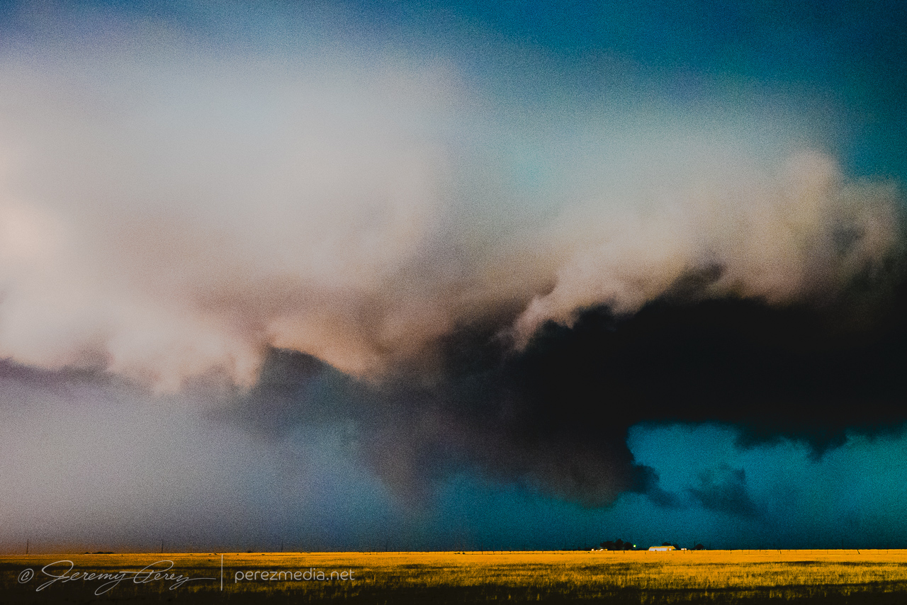
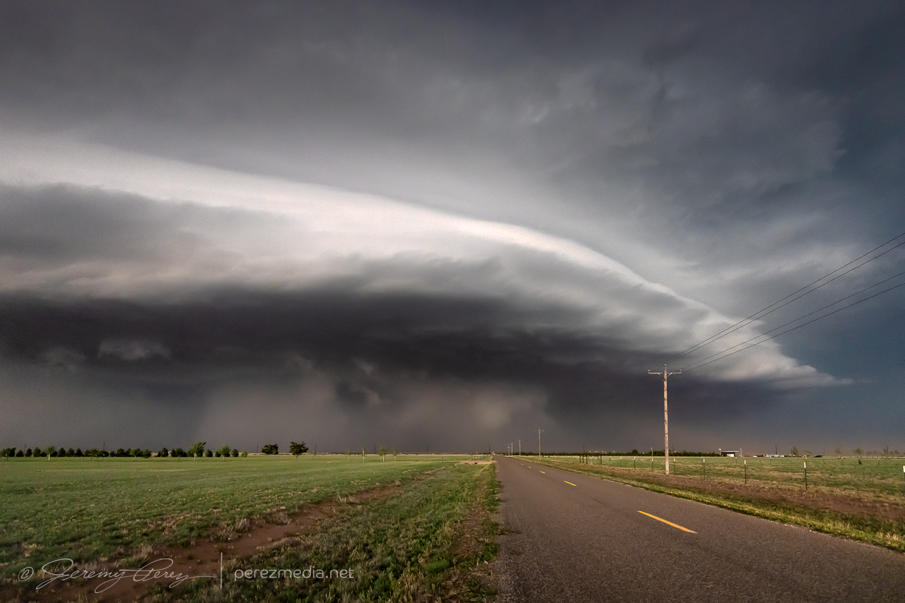
As the storm lofted up onto the Caprock, it got stronger, while the base was constantly adorned with a mix of lowerings, scud tags, shelf teeth and transient wall cloud features. It was chaotic enough to recommend maintaining a respectable distance.
—
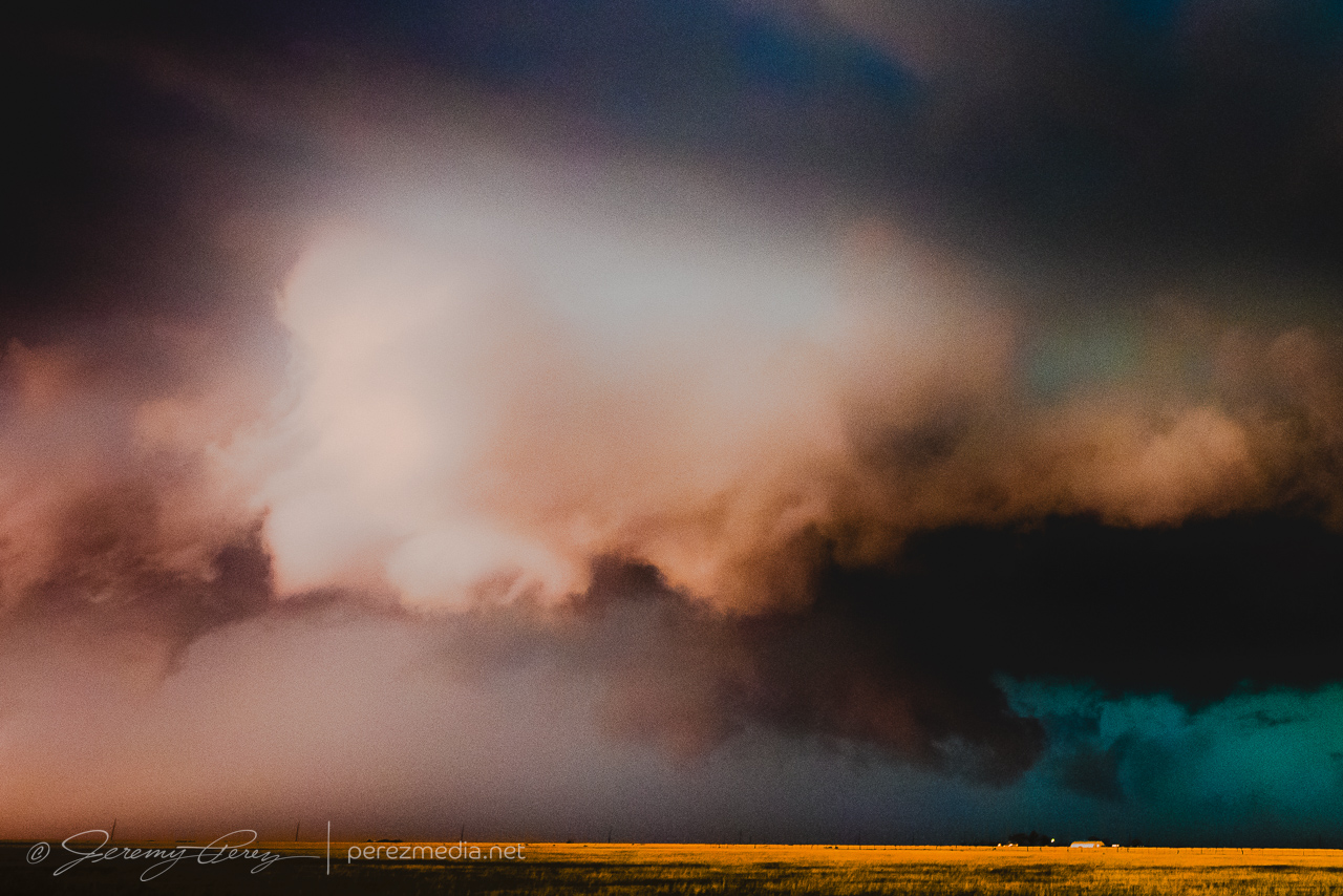
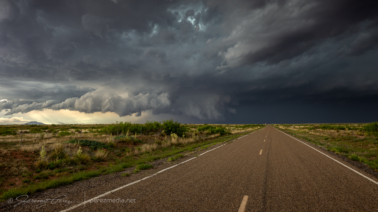
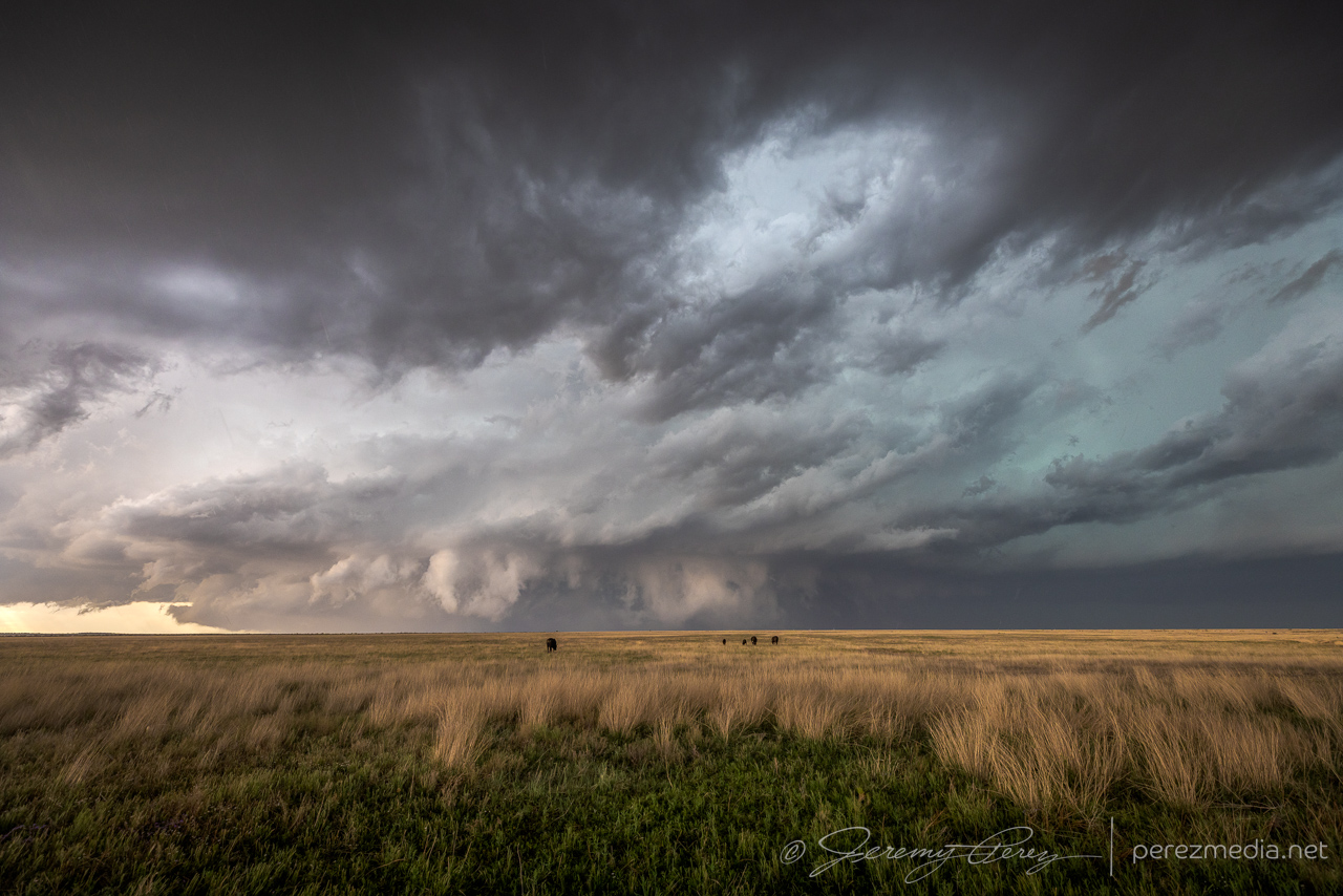
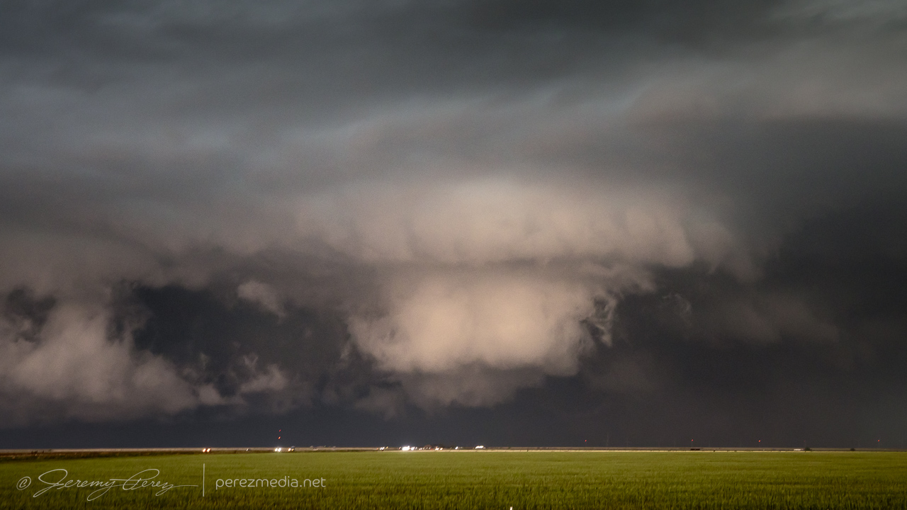
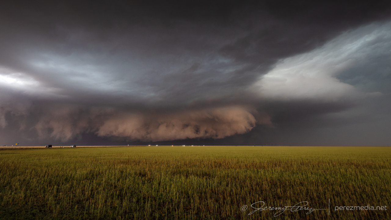
We repositioned on Rt. 209 south of Broadview as the storm rapidly intensified.
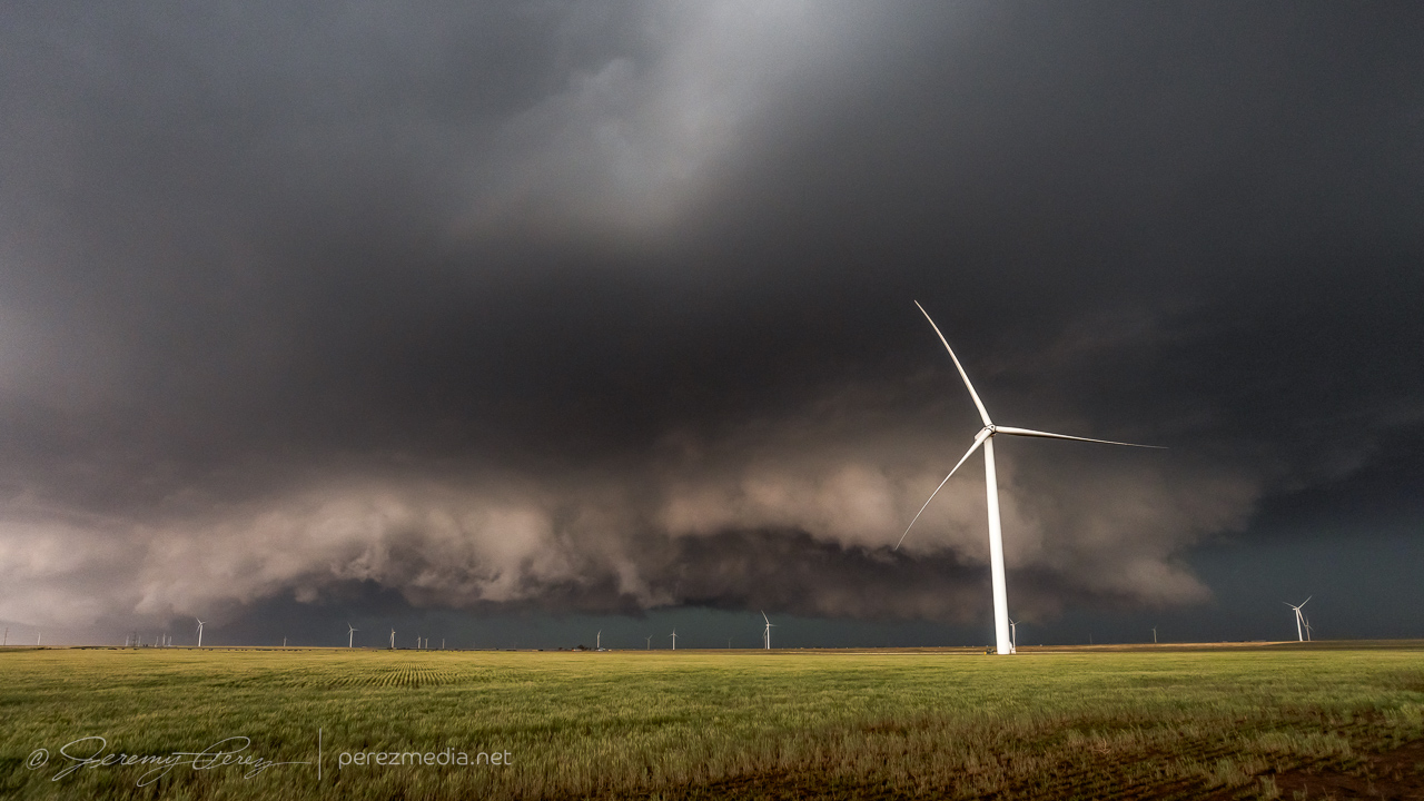
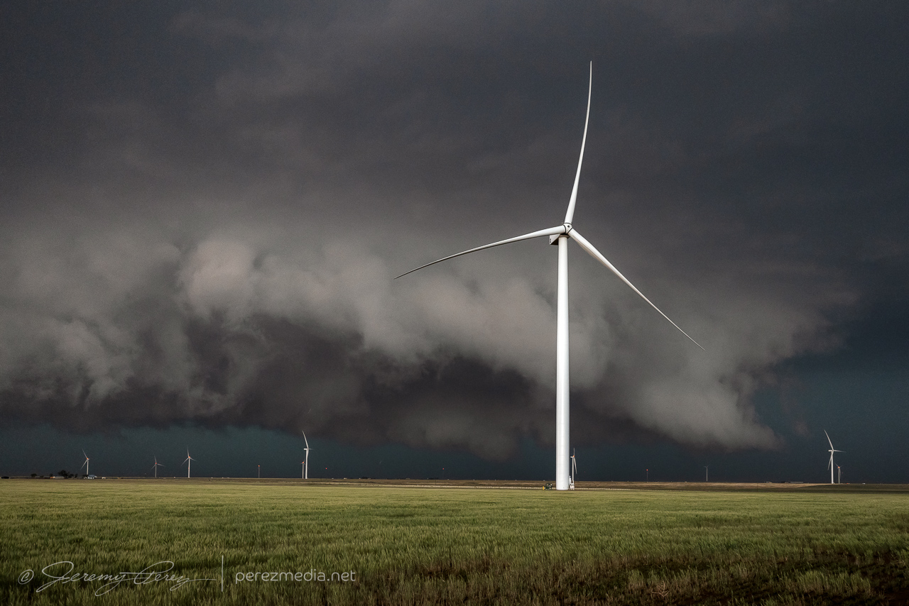
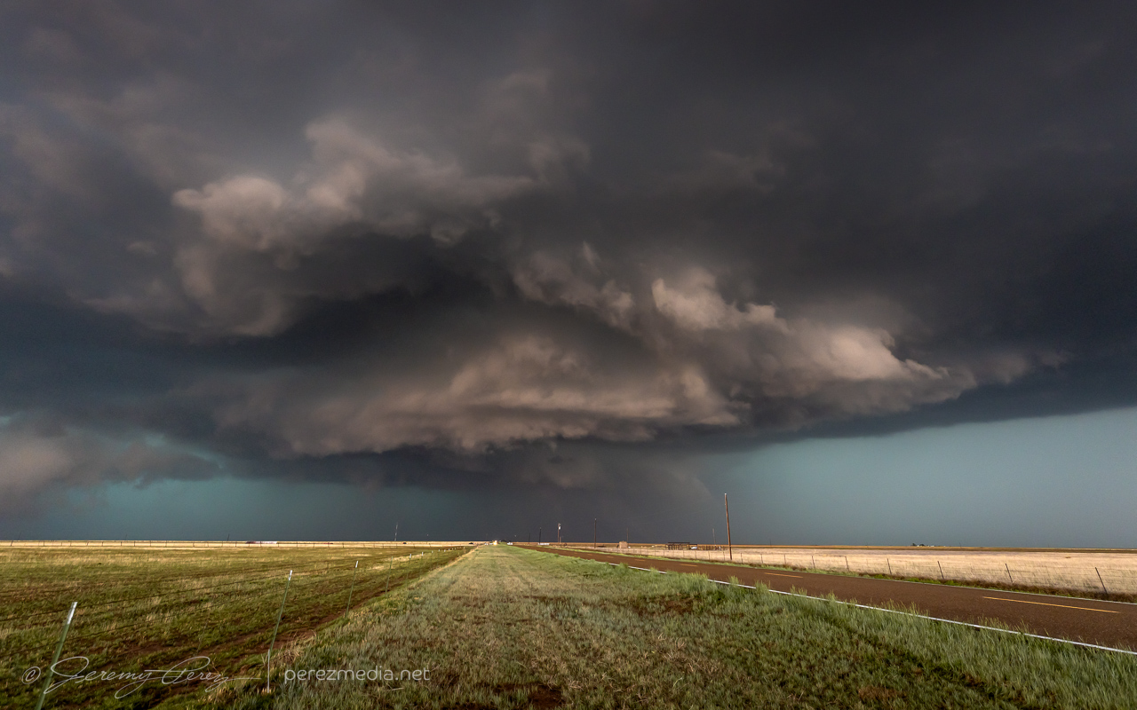
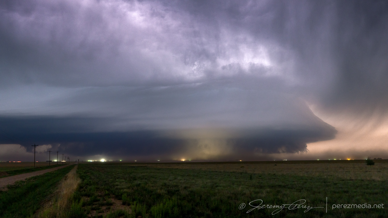
We then drove down Rt. 209 to CR33, six miles south of Broadview, and spent a couple minutes taking shots as the storm loomed over the wind farm. At this point, it was pulling incredibly intense inflow—car-door breaking strong—a lot of effort needed to carefully get out for pics. The streamwise vorticity current was flying right-to-left into the rain wrapped base. The RFD precip hid a developing monster. I knew something had to be happening in there, but without contrast-enhancing eyeballs, I couldn’t make it out. However, even with photo editing, it’s still inconclusive visually, whether the lowering in there is tornadic.
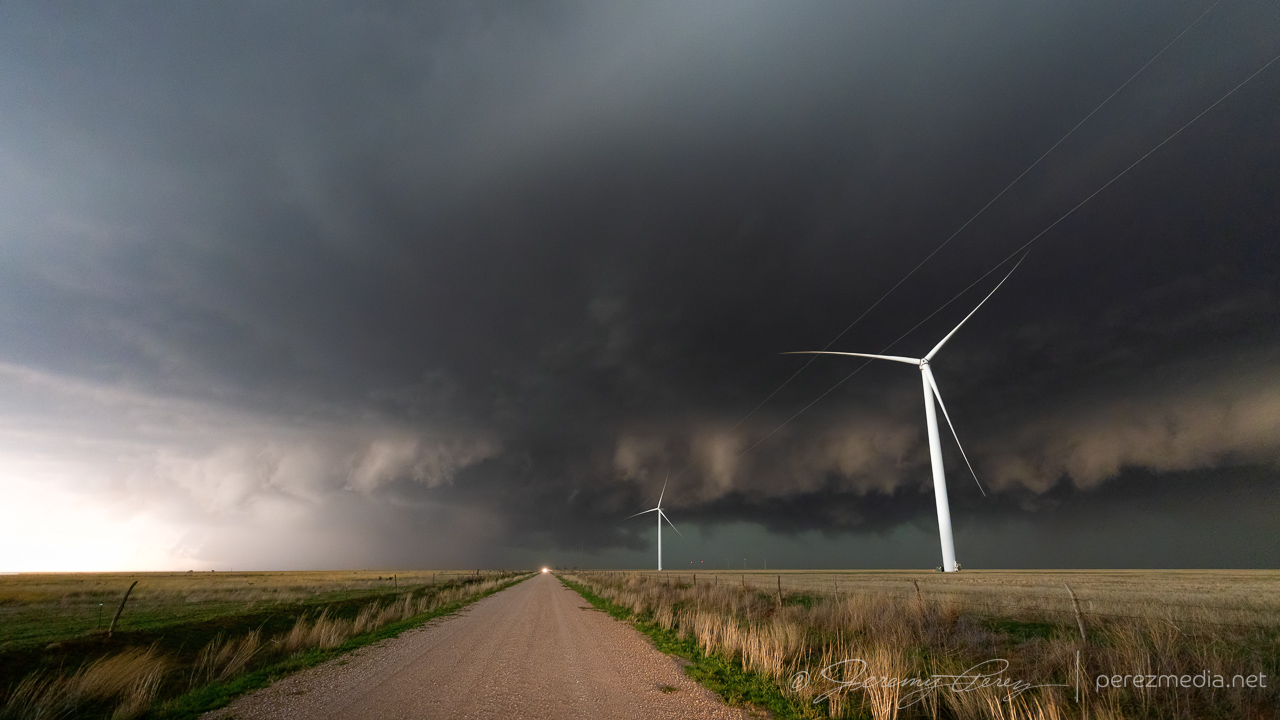
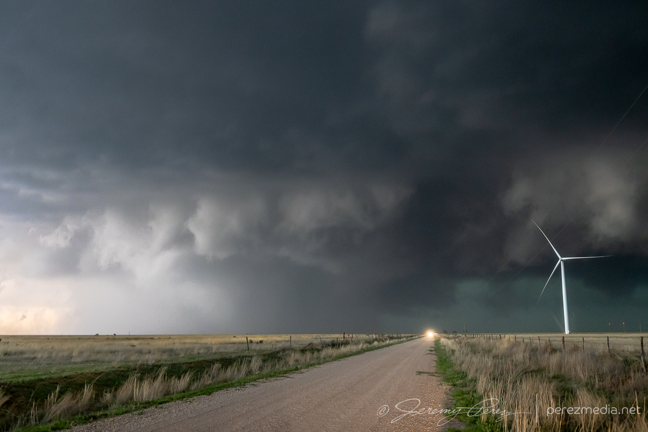
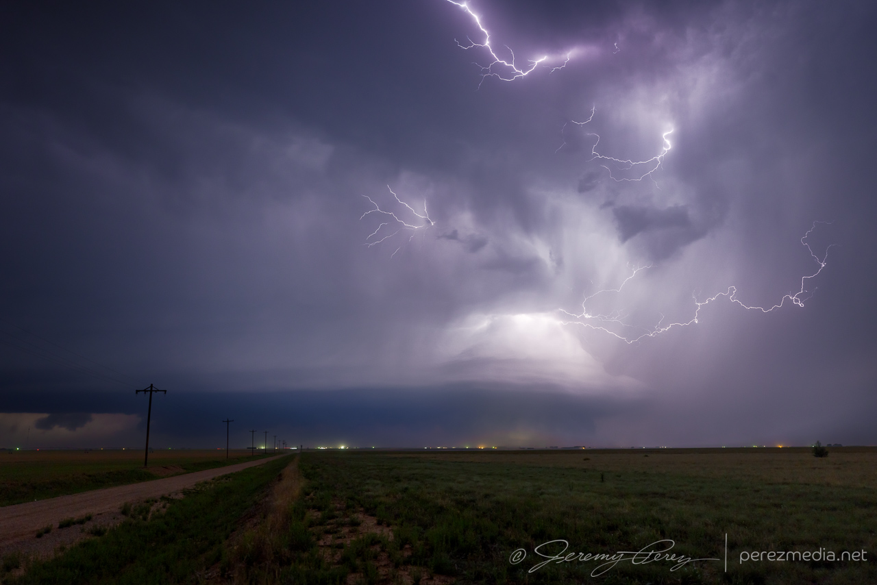
Repositioning southward was a white-knuckles experience with the enhanced traffic load and I’m glad we got moving when we did, especially thinking about the traffic that was clogged up 3-4 miles further back in that line. Dense traffic or no, I feel that SVC surfing on HP beasts is definitely not for me.
After that memorable experience, I stayed a lot further out to destress and attempted shots through growing inflow dust. Thankfully the next day’s chase would be in the same vicinity, so we grabbed a motel and got some much needed rest.
Community Comments
There are no comments on this post
Want to leave a comment? Join our community → OR Login →