

Published on
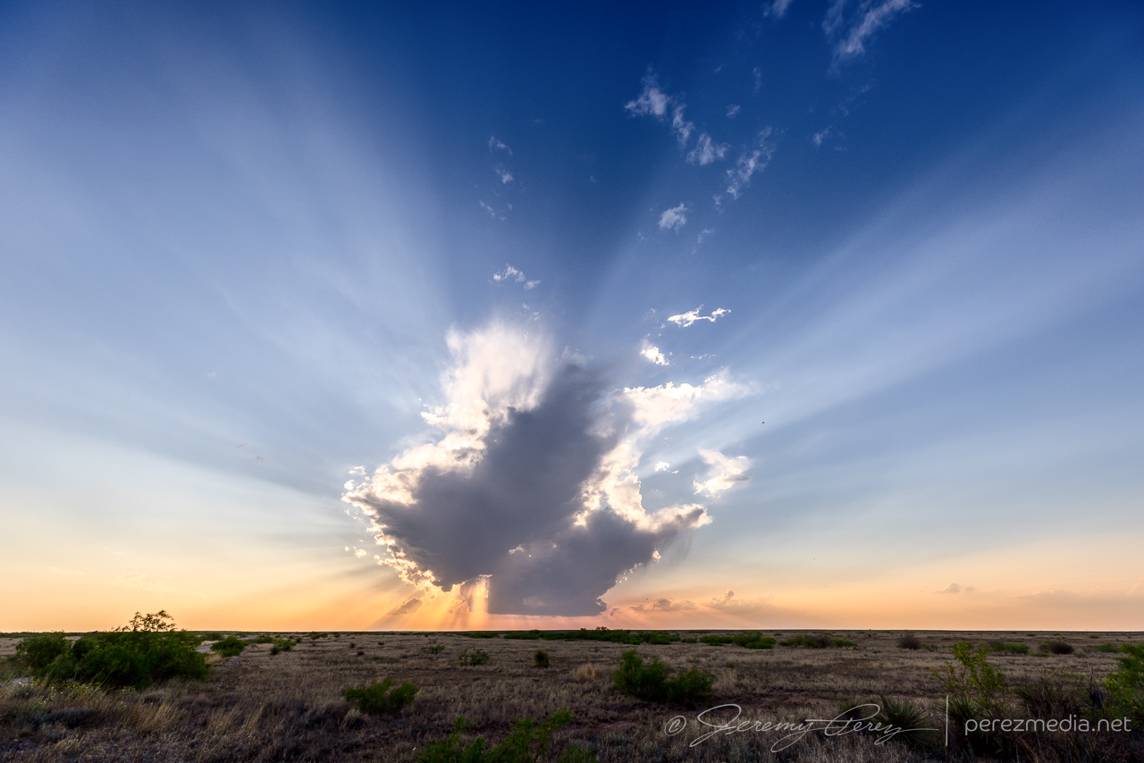
This was a day of bad forecast choices. I liked the enhanced H5 flow, shear and greater instability in the southeast corner of the state and we targeted Roswell and points south/southeast. Convection was firing by early afternoon up near Albuquerque and as 00Z approached, it sounded like fun times up there with social media indicating people bailing on the south option. I decided to hang with it though and we were rewarded with clear skies. Approaching sunset, we did get a short-lived attempt at an updraft and some lovely crepuscular rays near Artesia. But yeah, not really what I was after.
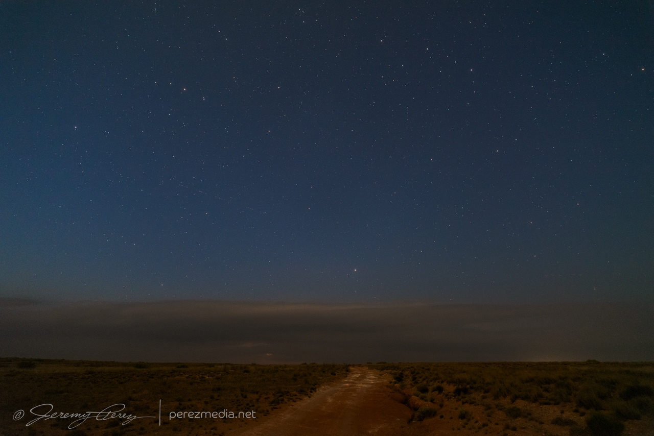
After sunset, we cruised north & east of Roswell and I tried for some sprite photography of a storm 60 or so miles away up near Elida. Bright moonlight made for bad contrast on a storm that probably wasn’t producing those anyway.
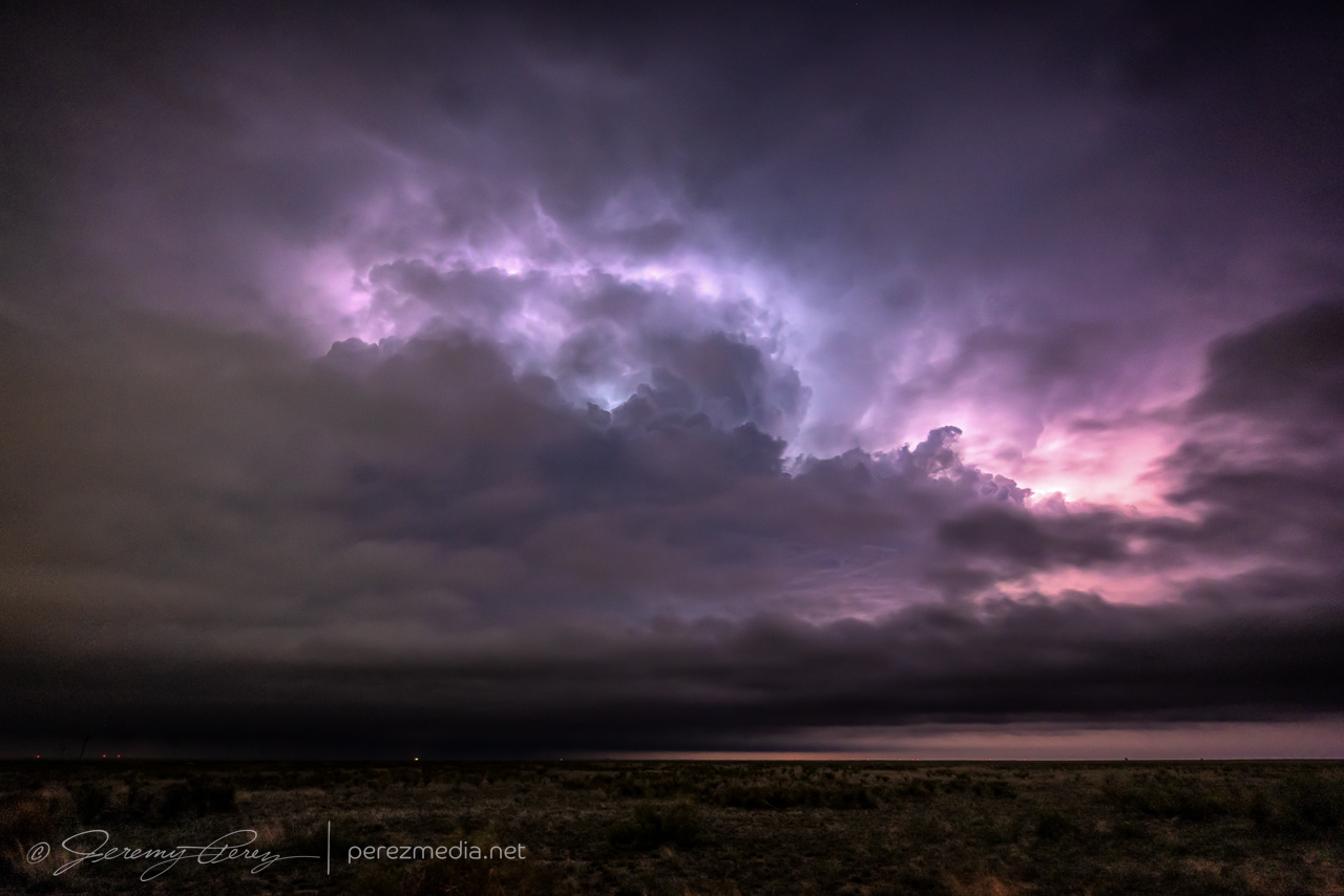
On the chance that cell would survive a while longer, we headed closer and had a look up west of Milnesand. Lots of low level clouds obscured any real structure and after getting a few shots, we called it a day and hoped for better on the 27th.
Community Comments
There are no comments on this post
Want to leave a comment? Join our community → OR Login →