Published on
We started this day off out of Wichita after busting on the cold core setup the day before. After scrutinizing posted road closures and construction zones in our target area, we got moving and stopped near Pittsburgh, Kansas.
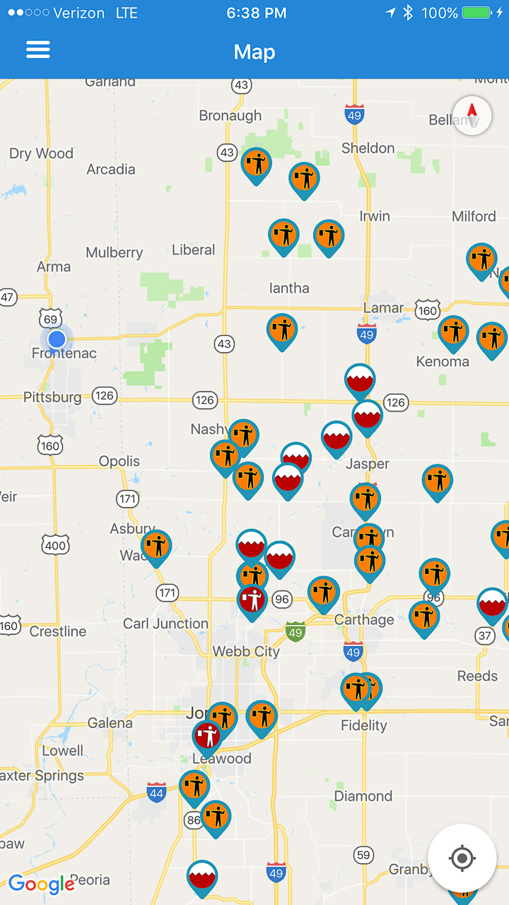
Around 00Z a tornado warned cell nudged us into Missouri for a first attempt before it weakened as it moved out of Kansas. Another cell was strengthening to its southwest though, so we headed south to Carthage and explored vantages and road network as that one approached.
I was impressed how consistently paved the roads were in the area. As long as we could stay out of the river valleys, the grid tested out excellent with a lot of good visibility. I wound up liking Base Line Blvd southeast of Jasper for an intercept that would keep us in flatter terrain that would allow us to pace to the northeast for a reasonable distance before Stockton Lake would become a problem.
I jockeyed back and forth to make sure my escape routes and vantages looked good. The sun had gone down and it was getting dark just as the base and wall cloud started to take shape to the southwest. What unfolded next was so like my storm-photography nightmares that I caught myself actively wondering if I was actually having a dream. I was just a few days into actively using my new Canon 6D Mark II and as much as I thought I’d developed reflexive control and worked out any glitches, I was totally wrong. The first surprise issue was back button focus not working for some reason, which quickly morphed to the aperture not adjusting from the dial I thought I had it set for, which then cliff-dove straight into some horrifying card-write error. All of this while the storm was quickly winding up about three miles southwest and closing.

The first couple issues were frantic forgetfulness about some settings on my part, but the third glitch was due to a unique lens-camera-zoom-preview settings combo bug that I didn’t figure out until a couple weeks later. At the time, it was all just nightmare gremlins in deep twilight when every setting is critical, with a dangerous storm bearing down. After rebooting the camera a couple times, we jetted east a couple miles and tried again. By this time, I had re-set the camera to factory settings, which probably made things worse, and now I didn’t have decent light sources to focus on.
With my brain fried by technical issues and a ton of missed shots, I couldn’t actually tell that the storm was producing, other than it had developed a huge, incredibly solid wall cloud slanting above the trees. I didn’t pick up on the power flashes visually at the time, but the camera caught one as it illuminated the tornado in progress about a quarter mile northeast of where the first damage markers were surveyed. My daughter was running the video camera and picked up a couple more power flashes after that. We didn’t get an actual visual on the condensation funnel until about 20 minutes later as it was backlit by lightning as the storm was racing off north of Golden City.
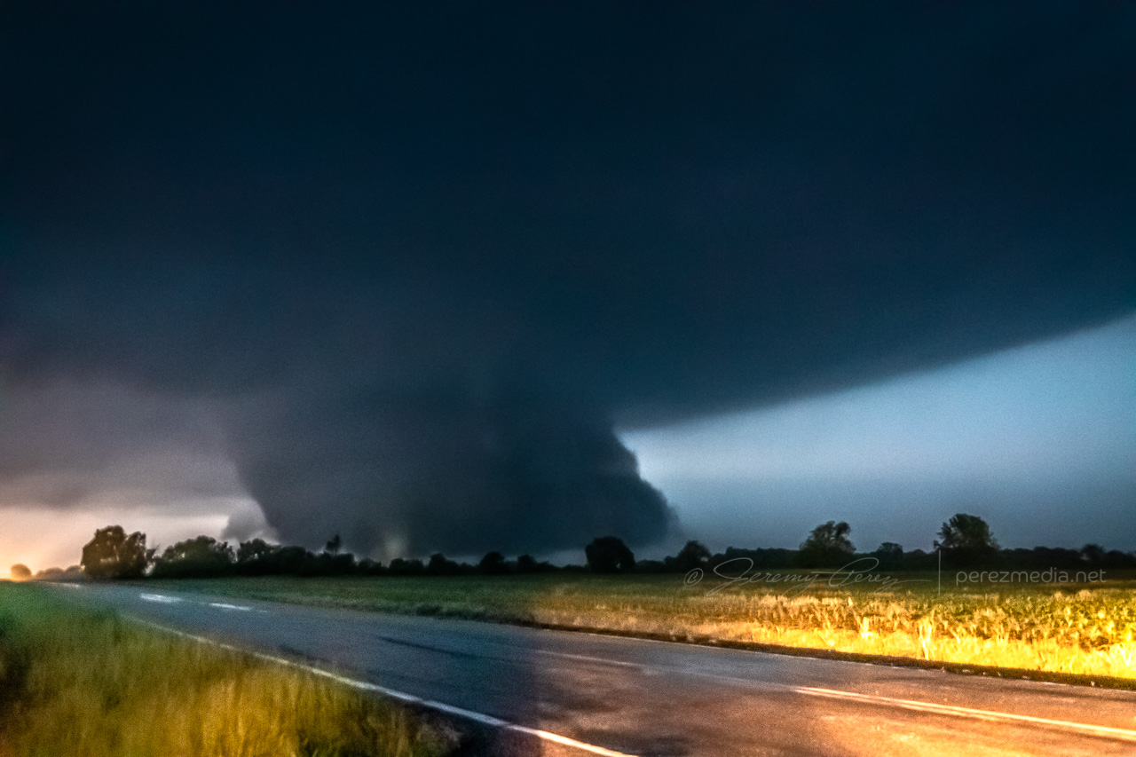

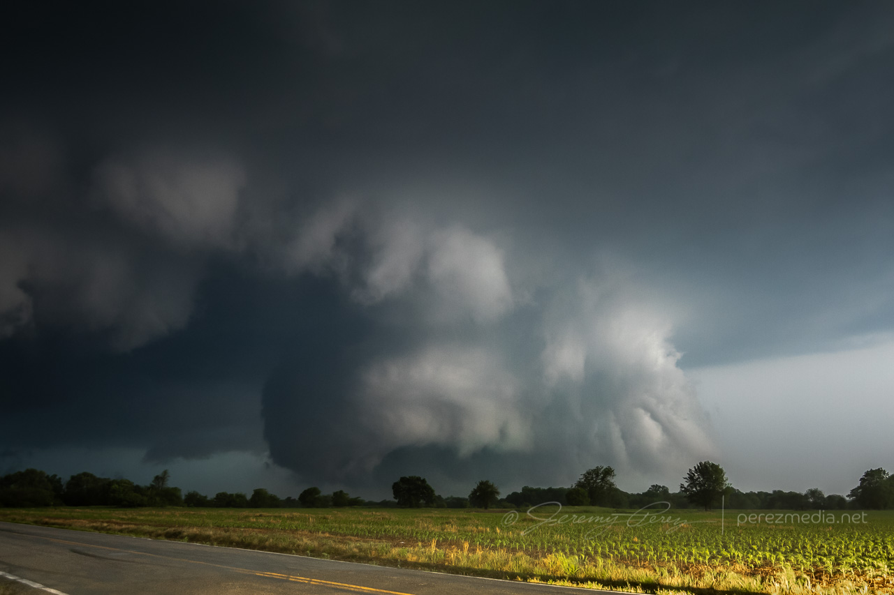
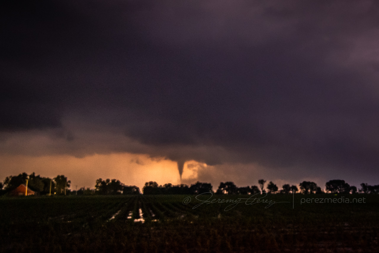
We paced it for a while, but terrain and trees gradually became a huge problem as we got east of Lockwood. We made our way back west to the next day’s target in the Texas Panhandle, dodging heavier cores and flooded roads along the way during a very long night of driving.
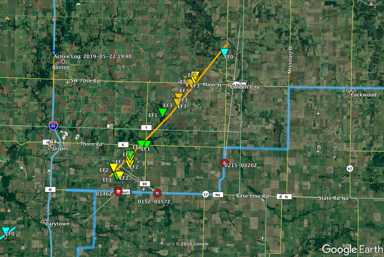
The next day was a punch in the gut to realize that the whole time I was aggravated and stressed about camera problems, the storm was taking three lives just a few miles up the road as it approached Golden City. I can’t rationalize anything that makes me feel positive about that day, just sadness for the families of Betty Berg and Kenneth & Opal Harris.
NOAA Severe Event Report — Tornado Track — Jasper County segment, Missouri
NOAA Severe Event Report — Tornado Track — Barton County segment, Missouri
Jeremy Perez
Flagstaff, Arizona
perezmedia.net


Community Comments
There are no comments on this post
Want to leave a comment? Join our community → OR Login →