Published on
Fresh off a successful tornado chase the day before in southeast Wyoming, we headed into Colorado for an upslope play. My focus was on supercell dynamics and tornado potential there. We hung out in the vicinity of Wiladel, watching convection develop and waiting for something to take the lead.
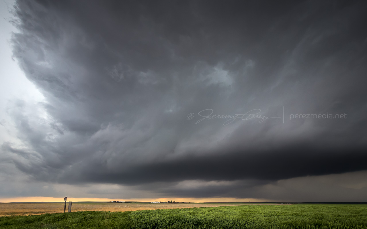
I seem to recall some social media taunting going on about the race between the northeast Colorado op we were on vs. outflow from northwest Kansas storms that was racing in to wreck it. But then a funny thing happened and landspout reports started popping up on areas further south. Bases in that area were visible beyond our strengthening cell in that awesomely clear high plains air, but nothing tubular was revealing itself. Landspout targeting was not in my plans, but the stronger cell I was watching was clearly not needed for those options. I finally got antsy enough to bail on it and start drifting south, watching those bases carefully. I’m glad we got rolling when we did, because we were already pretty far out of position for what started happening next. At 2300Z, we spotted a pair of dustups with one reaching up to the cloud base.
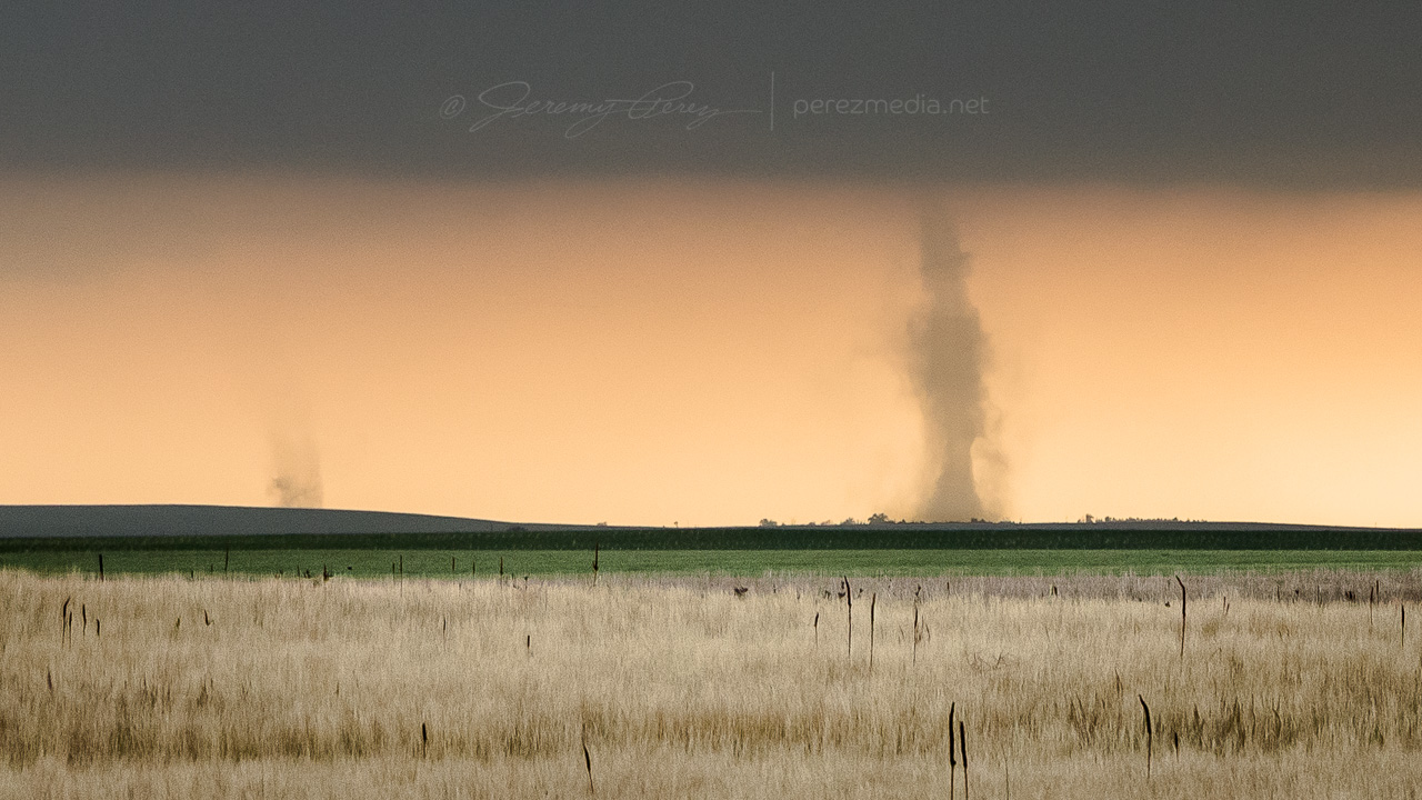
Those were our first landspouts — and a simultaneous pair at that. They were also very far off. So we hustled to move in closer to the boundary segment that was stirring them up. We navigated the dirt grid and maneuvered past other spellbound chasers that were as out of position as we were. Soon after, as we were driving, a third spot lifted up and taunted our distance. Shortly after it dissipated, we crested a ridge to see a new pair of dust fans spreading their wings above the distant plains. At first I supposed they might be gustnadoes, but as their cores started to tower and reach up to the cloud base, I got pretty giddy to realize it was another new simultaneous pair of landspouts maturing.
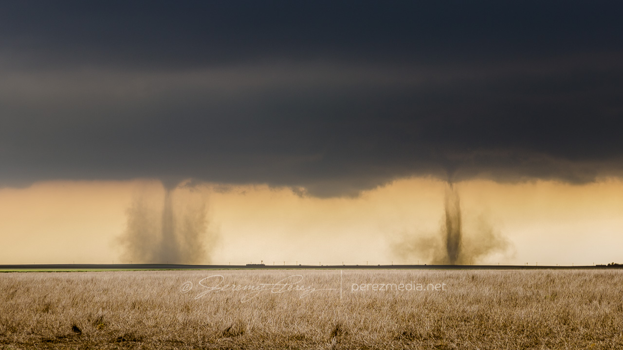
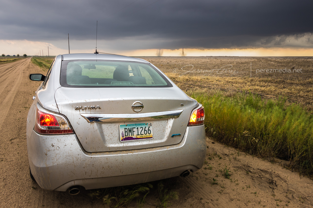
Both sported short condensation funnels up at the cloud base. By 2314Z, the westernmost spout seemed to have drifted into an especially dusty field because it suddenly started lifting up a spectacularly opaque tube of dust into its braided tower.
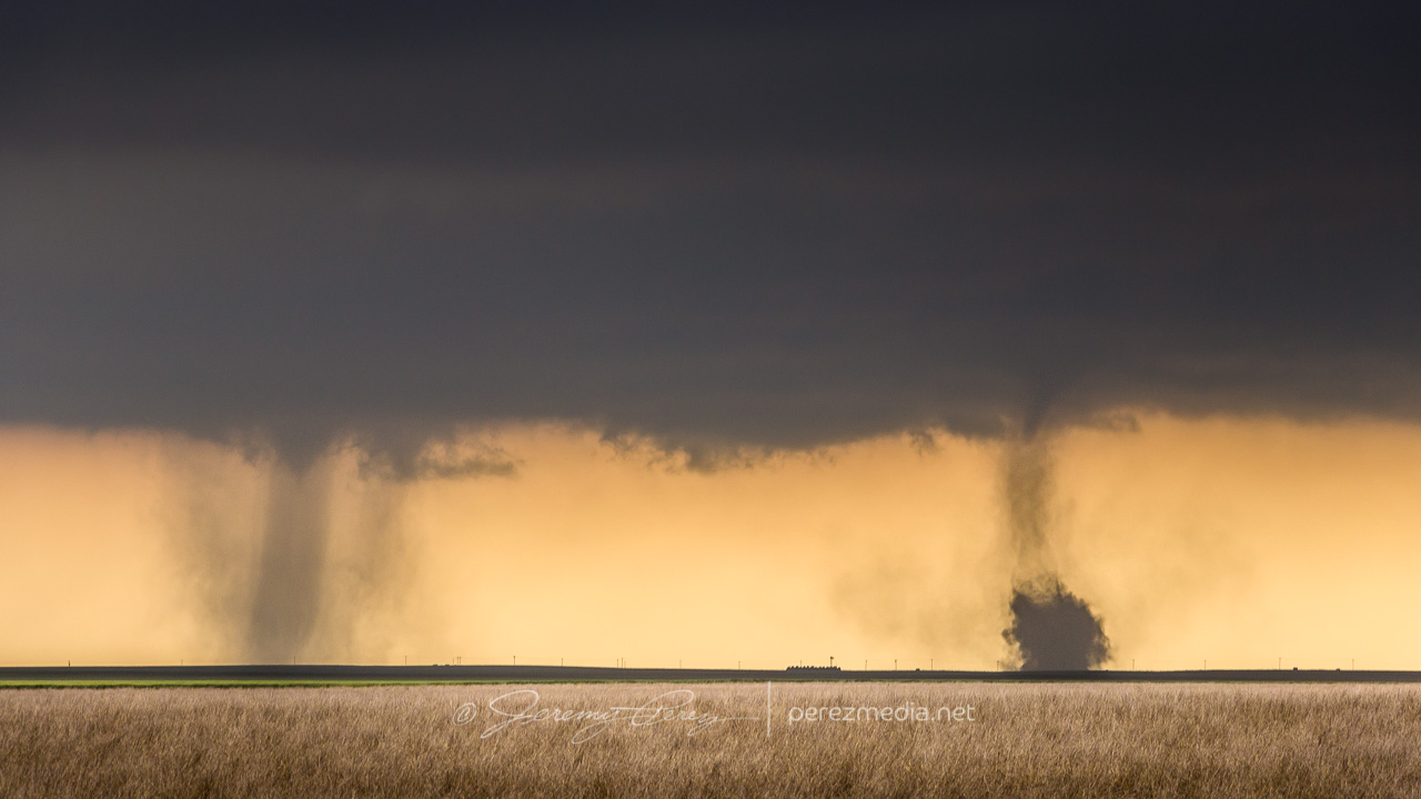
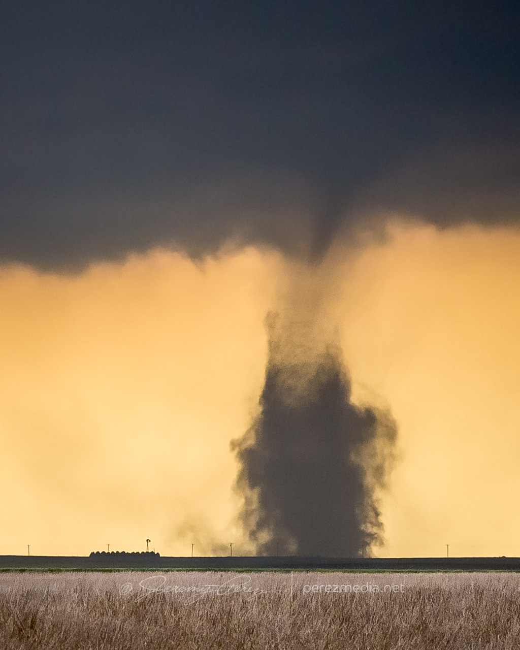
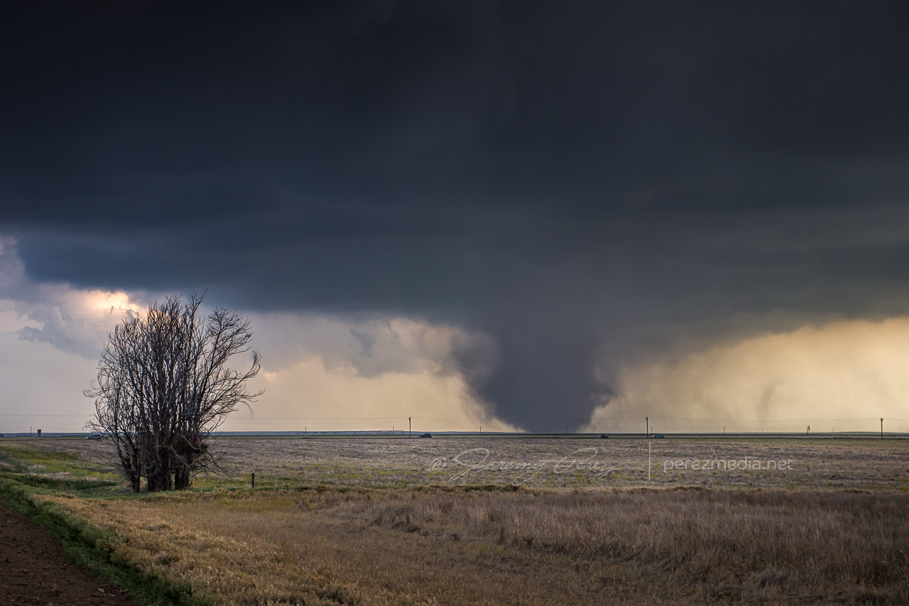
As dust fully and solidly engulfed the western tube, we moved a little further south and got a different view across a lush green field. The eastern landspout was starting to morph some fascinating characteristics of its own by this point with an impressively sturdy condensation funnel reaching two-thirds of the way down to meet a new, solid cone of dust rising to meet it.
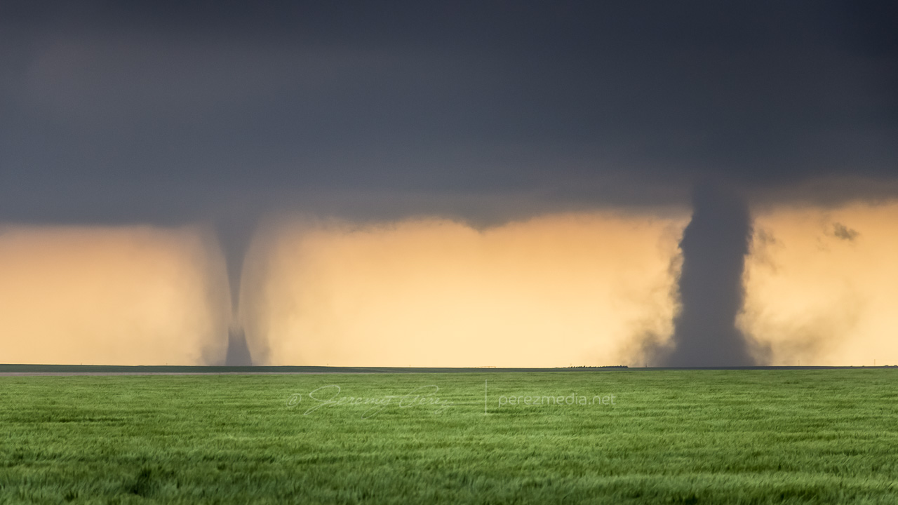
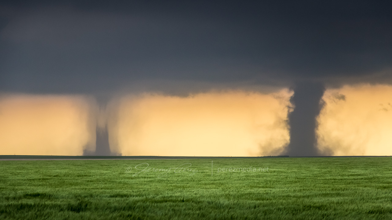
At this point, we took off again to try getting closer. The new dust column on the eastern tube had risen about two thirds of the way to the cloud base but as we continued driving, over the course of a couple minutes, the whole column seemed to tilt to the right and the dust collapsed into what looked like a dense microburst. It was almost as though that updraft had fully stopped and dropped everything at once.
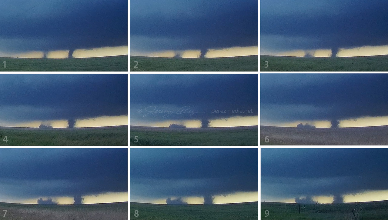
Circulation on that eastern tube quickly regathered itself, but with a much rougher profile.
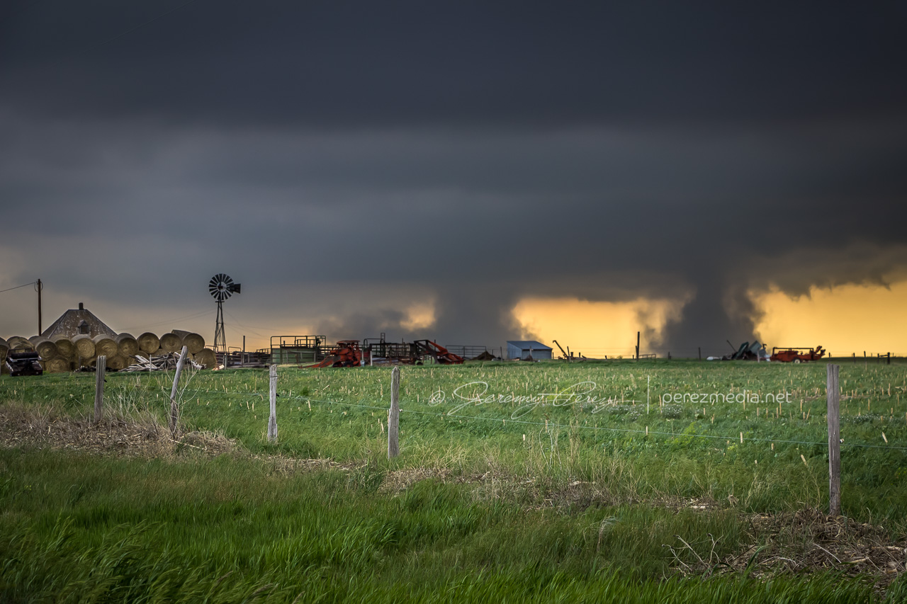
By 2323Z, both landspouts were starting to broaden and thin out, with the western one gradually dissipating. The eastern one hung on for a bit longer let us get a little closer to watch it with a little better definition before it dissipated.
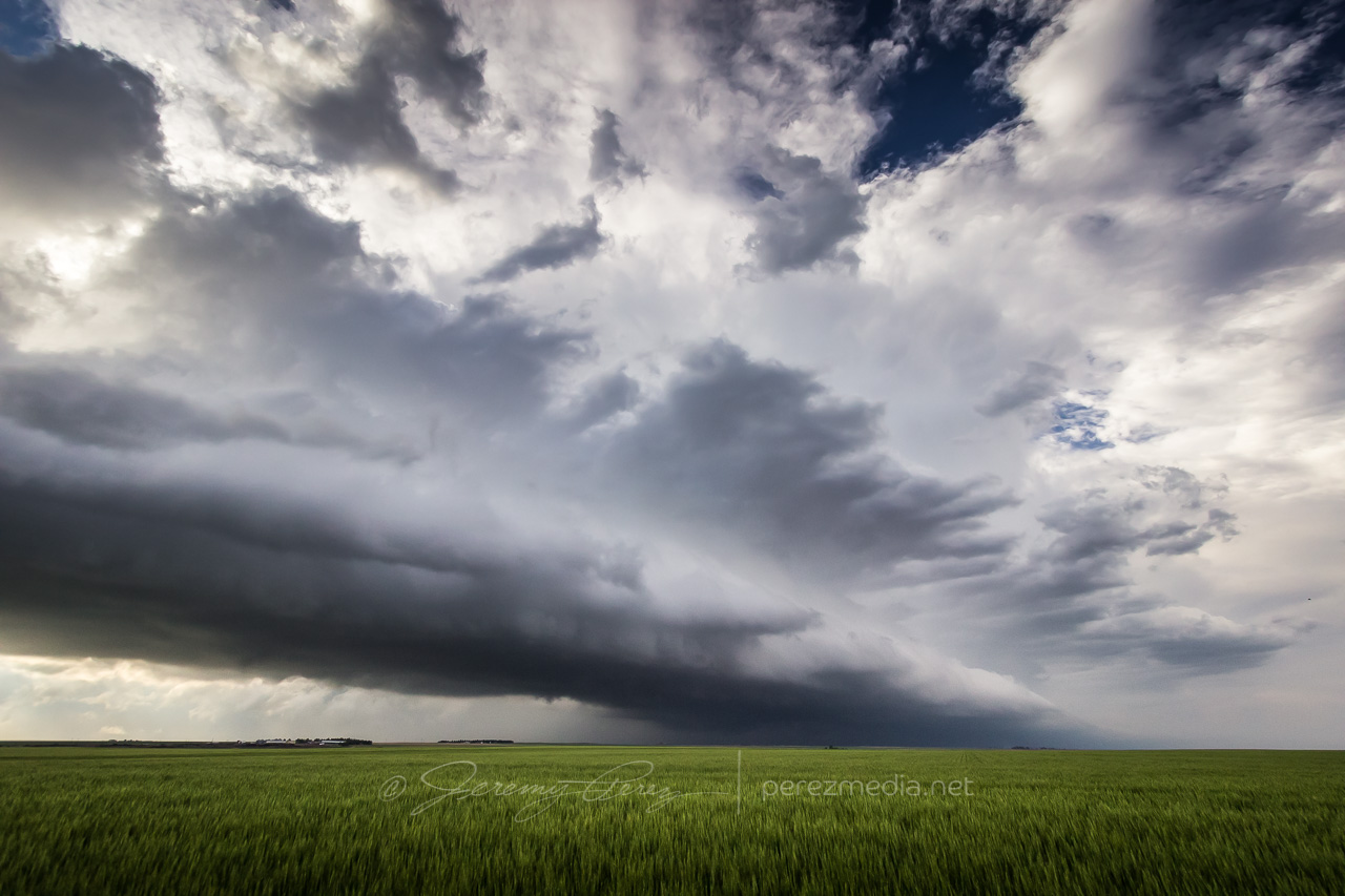
After that awesome show, we hurried further south to intercept a decent supercell that had formed, north of Seibert. We paused briefly on a rise to watch as rain curtains swept around the RFD before bailing out of the way. I didn’t want to get caught on those roads when they were drenched. We got to the south side of the cell and followed it eastward, watching as it got more disorganized. The precip cleared enough to catch a glimpse into the core of the remaining RFD to watch a tubular husk of slow rotation evaporate in front of us. I wondered if it was tornadic at some point, but probably not. At least nothing shows up in the NOAA reports for that day that I can see.
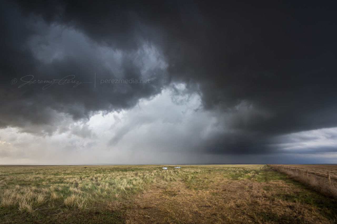
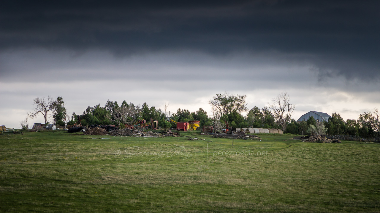
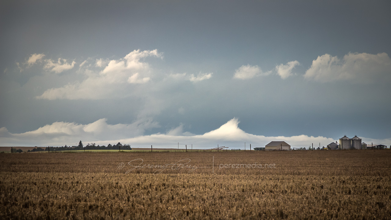
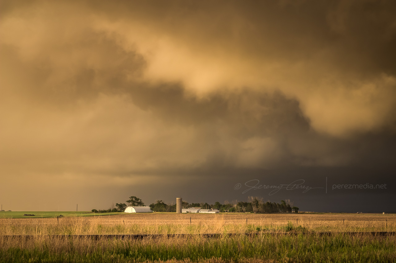
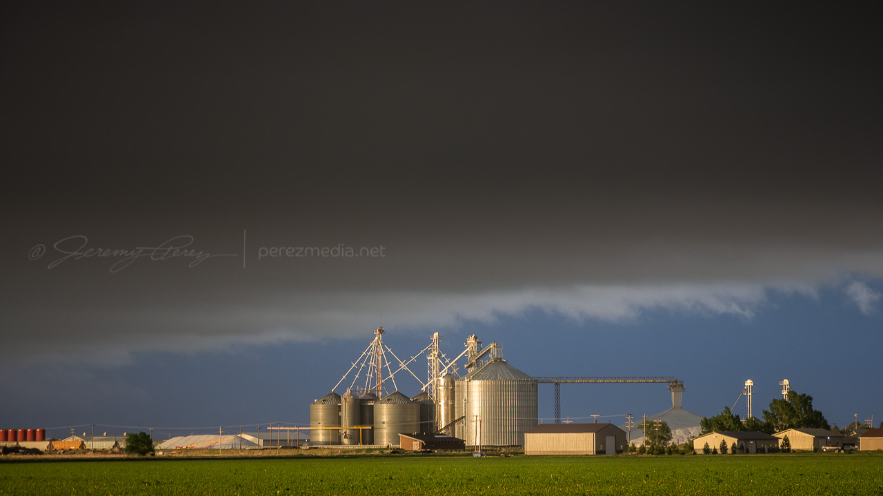
So we wound up with four landspouts for the chase. I spotted a possible fifth one on the dashcam later, but haven’t pinned it down to an official report yet. The great thing about a chase that ends before sunset is winding down with shots of the shelves, landscapes and towns in the post storm environment as the sun goes down.
NOAA Severe Event Report — Tornado Track — Kit Carson County | Flagler, Colorado (First one we spotted)
NOAA Severe Event Report — Tornado Track — Kit Carson County | Flagler, Colorado (longest lived with collapse)
NOAA Severe Event Report — Tornado Track — Kit Carson County | Seibert, Colorado (dustiest tube)
Jeremy Perez
Flagstaff, Arizona
perezmedia.net


Community Comments
There are no comments on this post
Want to leave a comment? Join our community → OR Login →