

Published on
Chase Overview
May 6th, 2023, is a date etched in storm chasing history. On this day, an EF4 tornado struck Barnsdall, Oklahoma, creating an unforgettable experience marked by power and destruction. The chase, which began in Greensburg, Kansas, and ended up in Barnsdall after dark, is a testament to the unpredictable nature of severe weather.
Meteorological Setup
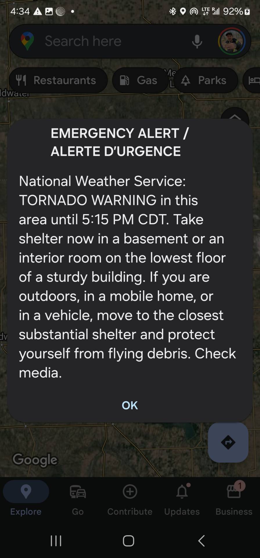
The setup for the day was classic for significant severe weather events. A robust upper-level trough was moving across the central United States, generating strong upper-level winds and ample atmospheric lift. A surface low-pressure system was drawing moist, unstable air from the Gulf of Mexico into the Southern Plains. With CAPE values exceeding 3500 J/kg and significant wind shear, the stage was set for supercell development and potential tornadoes.
The Chase Begins
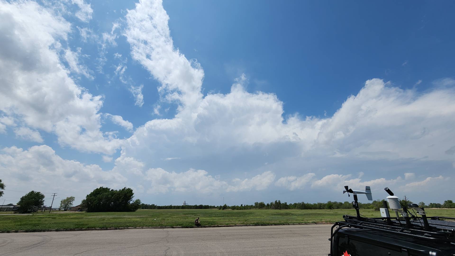
Our day began in Greensburg, Kansas, with a clear target area yet to be determined due to the evolving weather conditions. As the day progressed, we tracked the development of storms, moving southeast with the advancing weather systems. The sky filled with towering cumulus clouds, signaling the beginning of severe storm activity.
Tornado Development
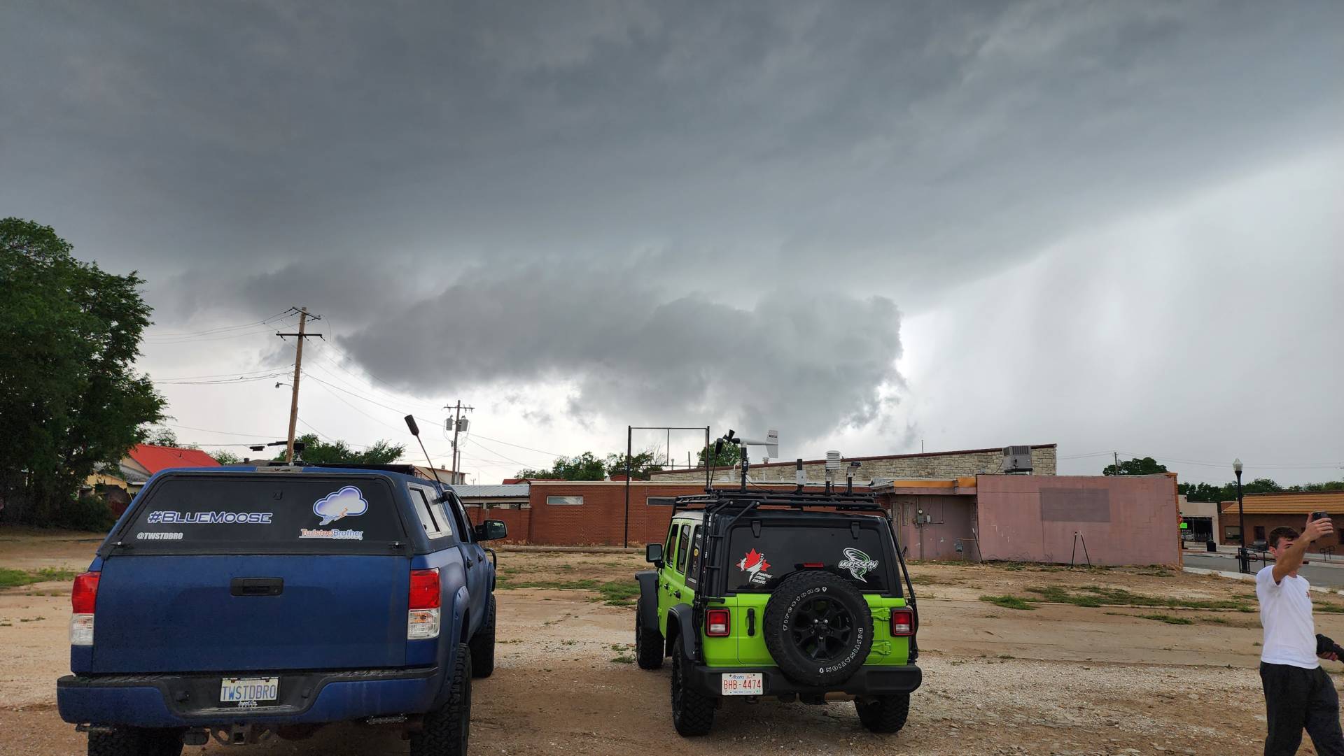
By late evening, a discreet supercell had formed ahead of the main squall line, southeast of our initial target area. We positioned ourselves strategically to intercept this storm as it showed increasing signs of rotation. As darkness fell, the supercell intensified, and a well-defined wall cloud became visible through lightning flashes.
Shortly after, a funnel cloud descended, touching down and rapidly evolving into a powerful tornado. The tornado, later rated EF4, carved a path of destruction through the countryside Eventually ripping a path of destruction through Barnsdall, before continuing on NE towards Bartlesville where it also caused significant damage. Despite the challenges of chasing after dark, the tornado’s silhouette was intermittently illuminated by lightning, providing glimpses of its immense size and power.
Up Close and Personal
Navigating the road network in the dark, we managed to maintain a safe distance while closely tracking the tornado. The sight of the massive tornado tearing across the landscape, illuminated sporadically by lightning, was both terrifying and awe-inspiring. Debris was lofted high into the air, and the sheer destructive force of the tornado was evident as it obliterated structures in its path.
Aftermath and Reflection
As the storm moved northeast, the tornado eventually lifted, leaving behind a trail of devastation. Driving through the damage path, we witnessed the aftermath: homes and barns reduced to rubble, trees stripped of their bark, and vehicles tossed like toys. The extent of the destruction was a stark reminder of the tornado’s power and the importance of preparedness and awareness.
Reflecting on the day’s events, it became clear that chasing storms is not just about the adrenaline rush but also about understanding and documenting these powerful natural phenomena. The data and observations collected during this chase are crucial for improving warning systems and increasing our understanding of tornado behavior.
Conclusion
The Barnsdall, Oklahoma EF4 tornado chase on May 6th, 2023, was a dramatic and unforgettable experience. Starting the day in Greensburg, Kansas, and ending up in Barnsdall after dark highlighted the unpredictable nature of storm chasing. This chase log serves as a testament to the extraordinary events of that day and the relentless pursuit of knowledge in the face of nature’s fury.
Community Comments
Wow 😮😮😮
Reply to Rachel Sanchez
Want to leave a comment? Join our community → OR Login →