Published on
We awoke on May 18 to see that the Storm Prediction Center had issued a high risk outlook over Northwest Oklahoma and Southwest Kansas, the first of its kind over the Central Plains since 2012. With nervous anticipation of what the day would bring, I set an initial target of Alva, Oklahoma. We made our way north and passed through the town of Canton so I could show the crew the location from which we filmed a powerful tornado that passed near the town back in 2011. As we reached Alva storm began to explode to the south and west, so we continued westward to intercept a developing supercell that was approaching the town of Freedom.
As the cell approached, visibility was awful; showers and storms were developing immediately to its south and east, complicating its environment and further reducing visuals. I decided we would head back east and then south toward Waynoka to intercept an isolated cell that had developed further south. However, as we were passing through Alva, I noticed that the messy cluster of storms we were leaving was congealing, and I calculated that they might be organizing into an isolated supercell with serious tornadic potential. I had us drive just east of town to wait to let it approach – a decision that would cost us an up-close-and-personal intercept with what would become the tornado of the day. Sure enough, the storm became tornado and a warning was issued, but it also developed into a high-precipitation beast of a storm, and it became apparent we would not have much shot at a visual tornado with this one, so off we raced toward Waynoka.
Sure enough, as we were half-way to our new target, it developed violent rotation and reports began coming in of a significant tornado on the ground near Chester. Damn it… if only I’d just gone for it in the first place without getting suckered into staying with the rainy Alva mess! We blasted south and just as we reached the south side of Dacoma, the storm’s base came into view, complete with a large tornado. We were very distant but did have a great view off toward the storm that was approaching from Waynoka, so we pulled over to watch and photograph.
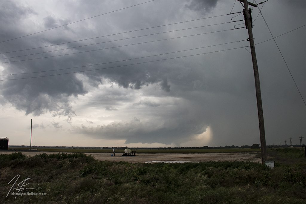
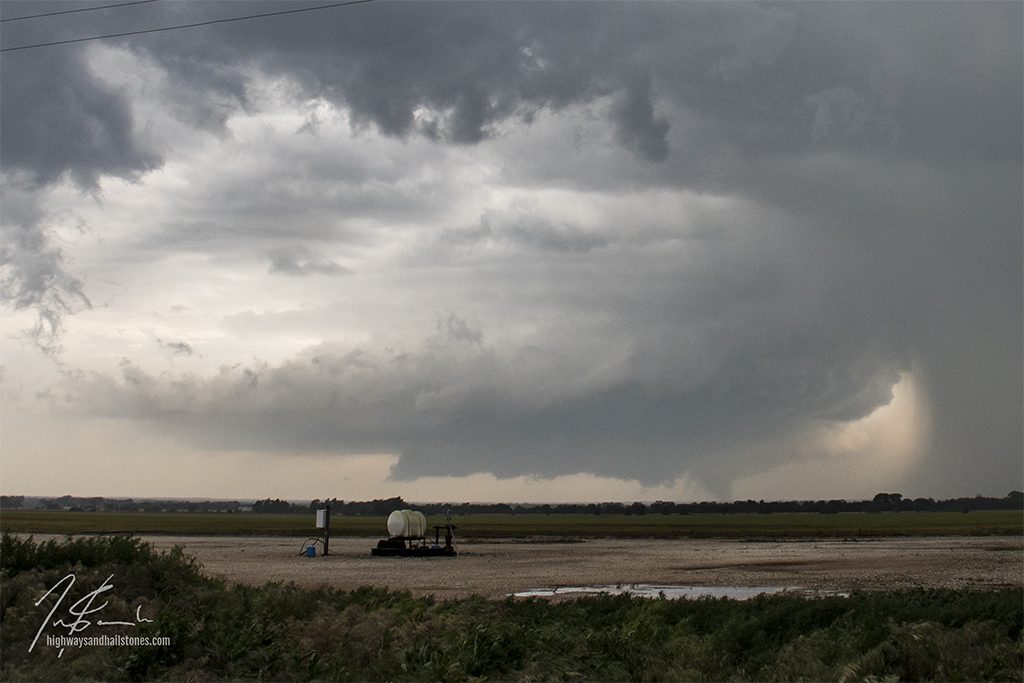
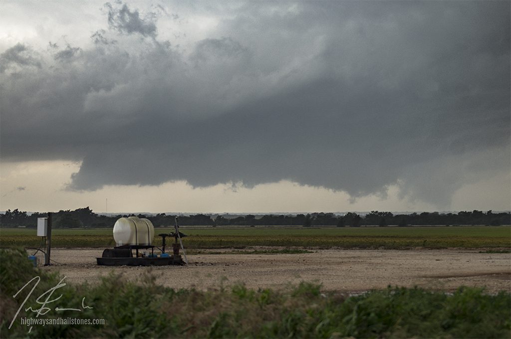
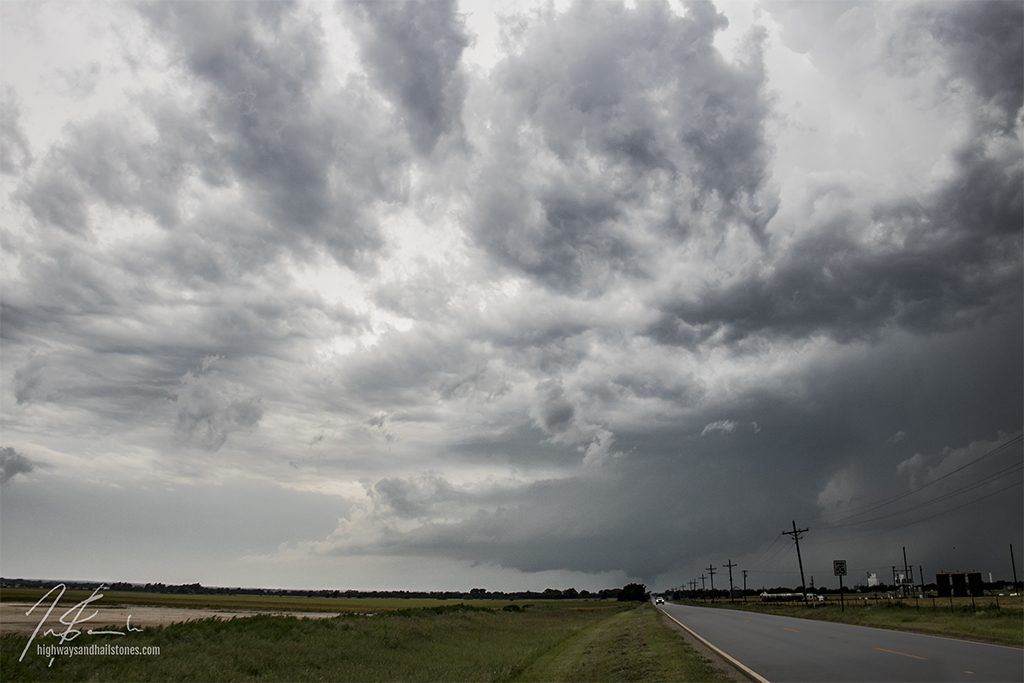
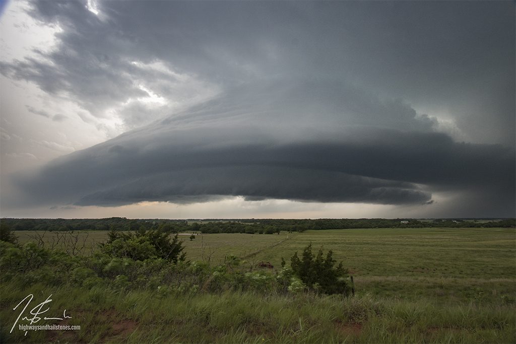
Now that we were in position and ready for whatever it had to offer, I hoped that our storm would cycle and produce another tornado. That was not to be. It continued on past Waynoka, lost its rotation and weakened. So, we set our sight further south and raced down toward the next cell coming our way from the Clinton area. We got there in time to catch some very cool storm structure as it became undercut and gusted out.


Community Comments
There are no comments on this post
Want to leave a comment? Join our community → OR Login →