

This tornado was a particularly intense landspout that formed along the Lake Erie lake breeze convergence zone. It touched down at around 1:15 pm, travelled for 9 km and had a width of just 20m, passing south of the small community of Avon. Upon receiving reports of the tornado, Environment Canada issued a tornado warning at 1:19 pm.
Although the warning specified that the tornado was ‘weak’, in fact it was strong and damaging; it snapped and uprooted trees, damaged barns and destroyed a house. Located on Wilson Line, the well-built bungalow had its roof and some exterior walls blown away and debris scattered for hundreds of metres through area fields. Fortunately, a woman who had been inside the home drying her hair at the time escaped unharmed despite it being torn apart around her. Damage at this location was at the upper end of F2, approaching F3 intensity.
Witnesses captured video of the tornado, a classic-looking landspout with a long debris tube extending high to the cloud base; close ups of its base show violent rotation as trees and crops were torn from the ground and debris thrown. The violently rotating column exhibited classic ‘drill bit’ motion at its base, and was probably amongst the most intense landspouts.
This was one of four tornadoes to touch down in Southern Ontario on June 25; the others:
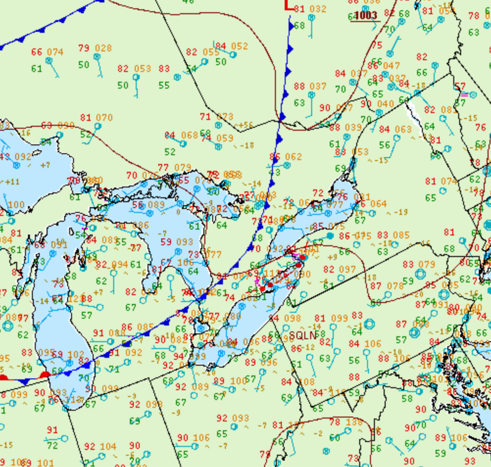
Figure 1 depicts the surface observations at 2:00 pm EDT, which shows a cold front slicing through southern Ontario. This front became the focus for intense thunderstorms in the early afternoon hours of June 25th, which ultimately led to several tornadoes across Ontario.
According to Environment and Climate Change Canada (2018), an F2 tornado touched down at 1:15 pm near Avon, ON. The tornado travelled for 9 km and had a maximum width of 20 metres. The tornado caused no fatalities, injuries or property damage.
Sources
NWS Weather Prediction Center Surface Analysis Archive. (2017). Surface analysis 18Z Thu Jun 25 2009. Retrieved from: https://www.wpc.ncep.noaa.gov/archives/web_pages/sfc/sfc_archive.php
Environment and Climate Change Canada Data. (2018). Canadian National Tornado Database: Verified Events (1980-2009) – Public. Retrieved from: http://donnees.ec.gc.ca/data/weather/products/canadian-national-tornado-database-verified-events-1980-2009-public/