

This probable tornado touched down in rural areas near Norwich at around 7:00 pm, leaving uprooted and snapped trees along a 3 km path.
This was one of four tornadoes to touch down in Southern Ontario on June 25; the others:
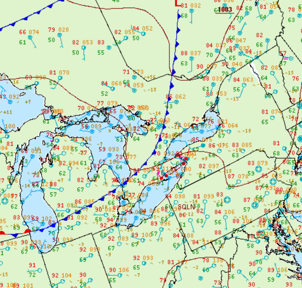
Figure 1 depicts the surface observations at 2:00 pm EDT, which shows a cold front slicing through southern Ontario. This front became the focus for intense thunderstorms in the early afternoon hours of June 25th, which ultimately led to several tornadoes across Ontario.
Sources
NWS Weather Prediction Center Surface Analysis Archive. (2017). Surface analysis 18Z Thu Jun 25 2009. Retrieved from: https://www.wpc.ncep.noaa.gov/archives/web_pages/sfc/sfc_archive.php
Environment and Climate Change Canada Data. (2018). Canadian National Tornado Database: Verified Events (1980-2009) – Public. Retrieved from: http://donnees.ec.gc.ca/data/weather/products/canadian-national-tornado-database-verified-events-1980-2009-public/