

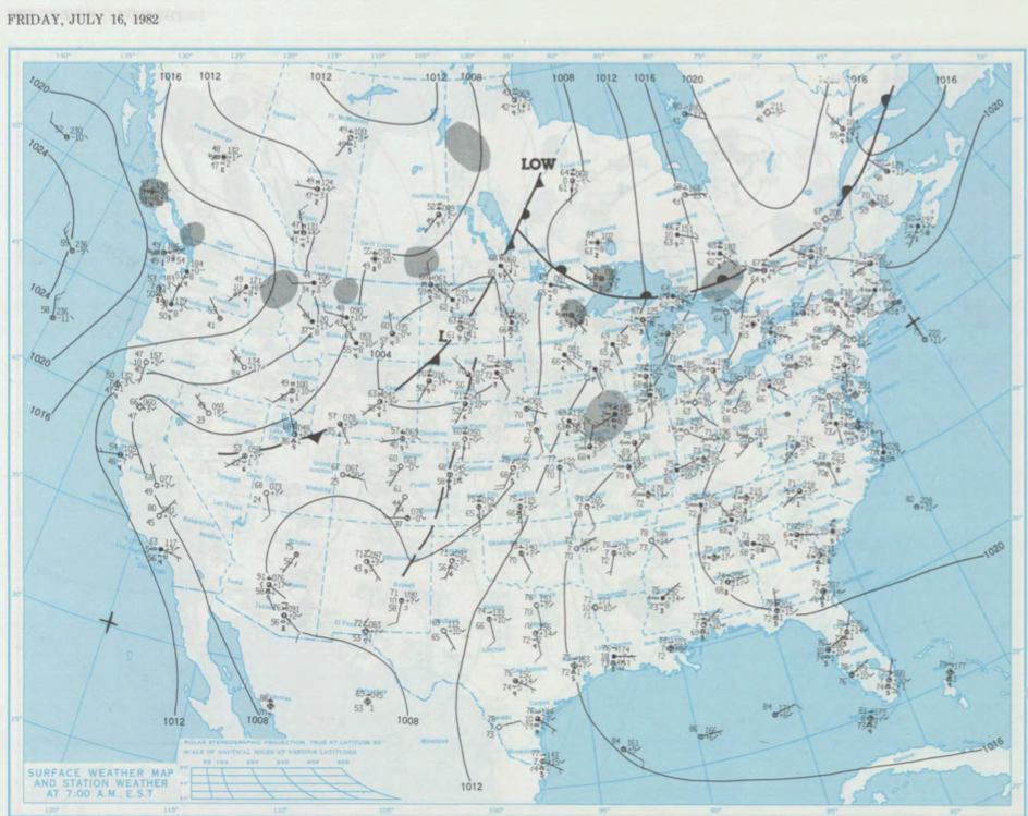
Figure 1 shows the surface observations at 7:00 am CDT, which shows a low pressure system in northern Manitoba with its associated occluded front extending south. A cold front is observed extending south across southern Manitoba and into the High Plains of the United States and a warm front across northwestern Ontario. The low began its occlusion stage across Manitoba during the day of July 16th. As it did so, the cold front began moving east-northeast and triggered thunderstorms across southeastern Manitoba, which ultimately led to this tornado.
This tornado was part of a tornado outbreak that occurred across southeastern Manitoba on this day:
- Emerson, MB F0 Tornado
- Melita, MB F0 Tornado
- St. Alphonse, MB F0 Tornado
- Near Portage La Prairie, MB F0 Tornado
- Graysville, MB F0 Tornado
According to Environment and Climate Change Canada (2018), an F0 tornado touched down at 7:30 pm CDT near Hadashville, MB. The track and width of this tornado was not documented by ECCC. The tornado caused no injuries, fatalities or property damage.
Sources
NOAA Central Library. (2020). U.S. Daily Weather Maps. Friday July 16, 1982 [PDF]. Retrieved from https://library.noaa.gov/Collections/Digital-Collections/US-Daily-Weather-Maps
Environment and Climate Change Canada Data. (2018). Canadian National Tornado Database: Verified Events (1980-2009) – Public. Retrieved from: http://donnees.ec.gc.ca/data/weather/products/canadian-national-tornado-database-verified-events-1980-2009-public/