

This EF1 tornado sliced through forest northeast of Kapuskasing, leaving a long swath of tree damage. In late August, a pilot flying over the area came across a damage path which was previously unknown to officials at Environment Canada. In a somewhat unusual occurrence, investigators had a clear tornado damage path but no known storm event that was associated with it!
By examining archived radar data from previous storm days in the region over the course of the summer, they were able to deduce that the tornado occurred in association with a supercell that passed through the area on August 19. It was rated EF1 based on the long and extensive path of tree damage.
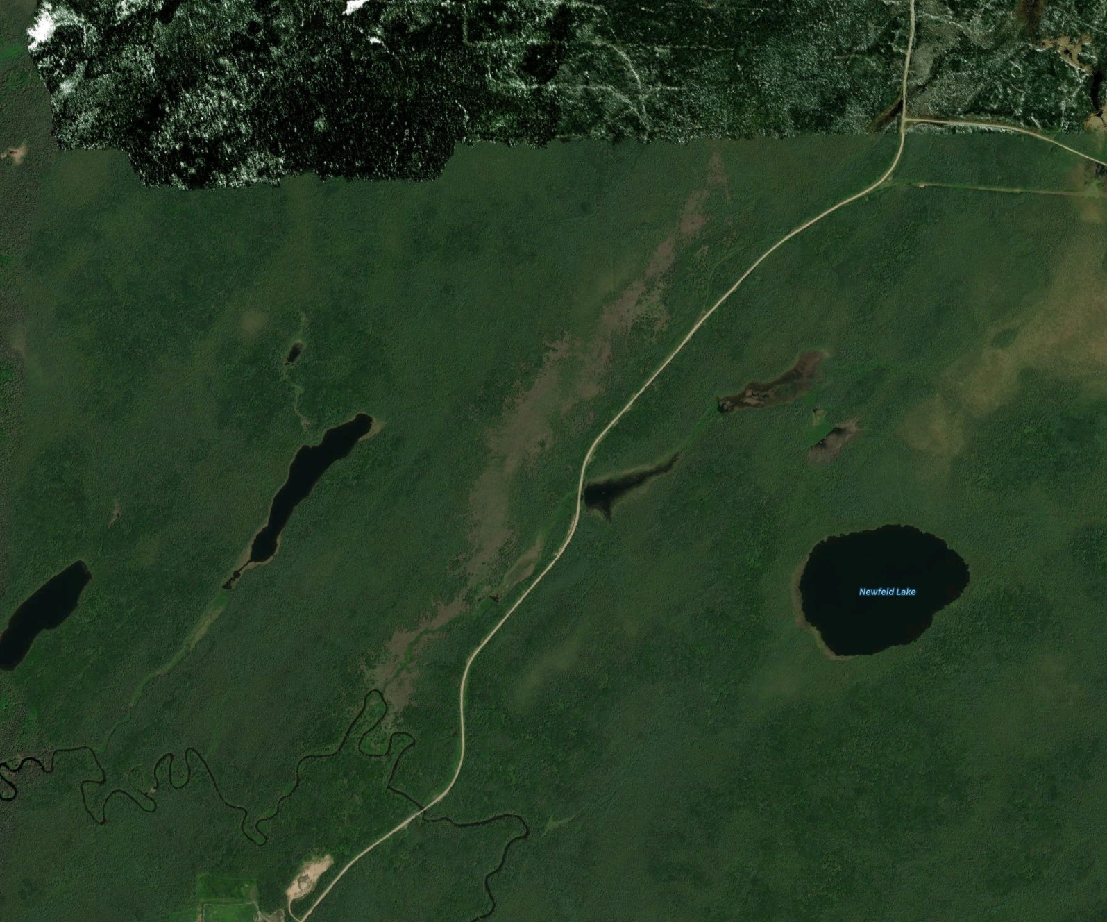
Figure 1 depicts the clearly visible scare left by this EF1 tornado northeast of Kapuskasing. The latitude/longitude data was extracted to create the path of this tornado.
This was one of two damaging tornadoes that touched down in the forest of Northern Ontario near Kapuskasing on August 19. The other:
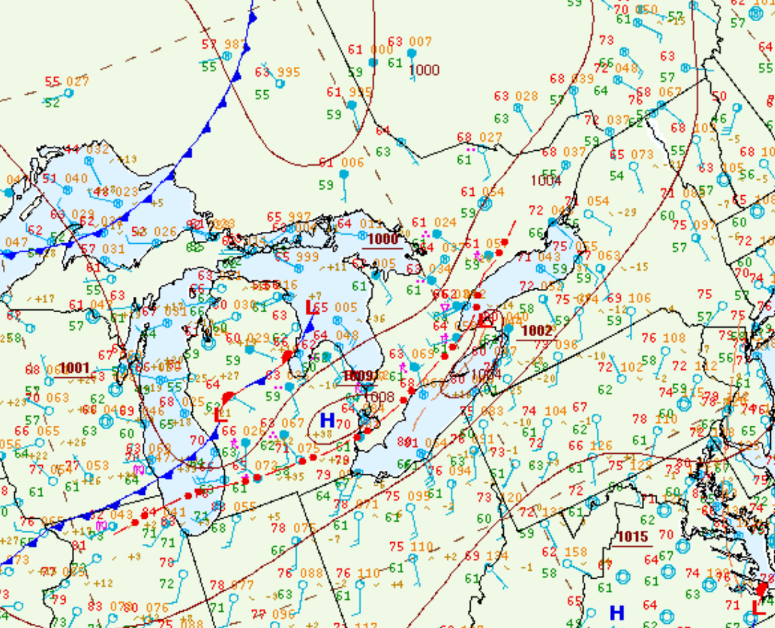
Figure 2 depicts the surface observations at 2:00 pm EDT, which shows a low pressure system over Lake Superior, a cold front extending over Lake Michigan and a warm front extending into northern Ontario. The warm front became the focus for intense thunderstorm activity in the afternoon/evening hours of August 19th, which ultimately led to two strong tornadoes.
Sources
NWS Weather Prediction Center Surface Analysis Archive. (2017). Surface analysis 18Z Wed Aug 19 2015. Retrieved from: https://www.wpc.ncep.noaa.gov/archives/web_pages/sfc/sfc_archive.php