

Published on
An impromptu “local” chase took my team and I to Arkansas City, about an hour southeast of Wichita. We were a little late to the party, as we had to get south of the storm to get a visual.
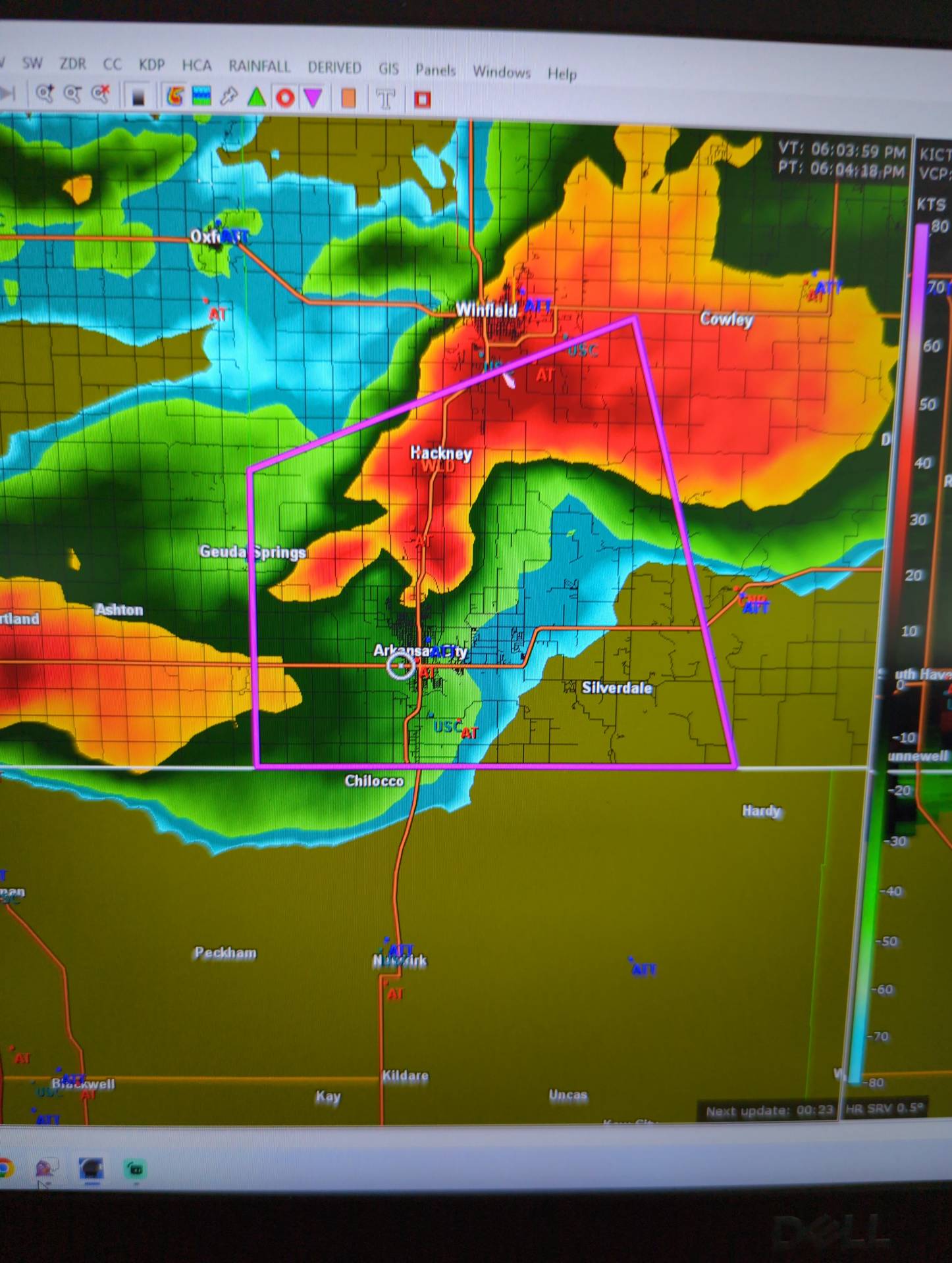
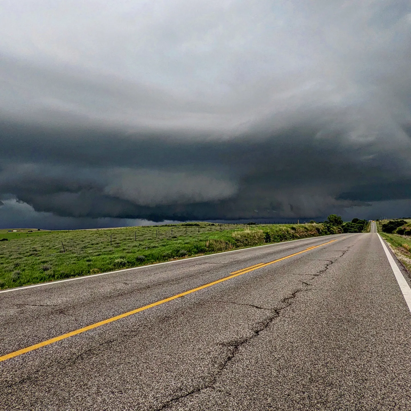
As we approached Arkansas City and made our way around the rain curtains, we were quickly impressed with the structure of this supercell.
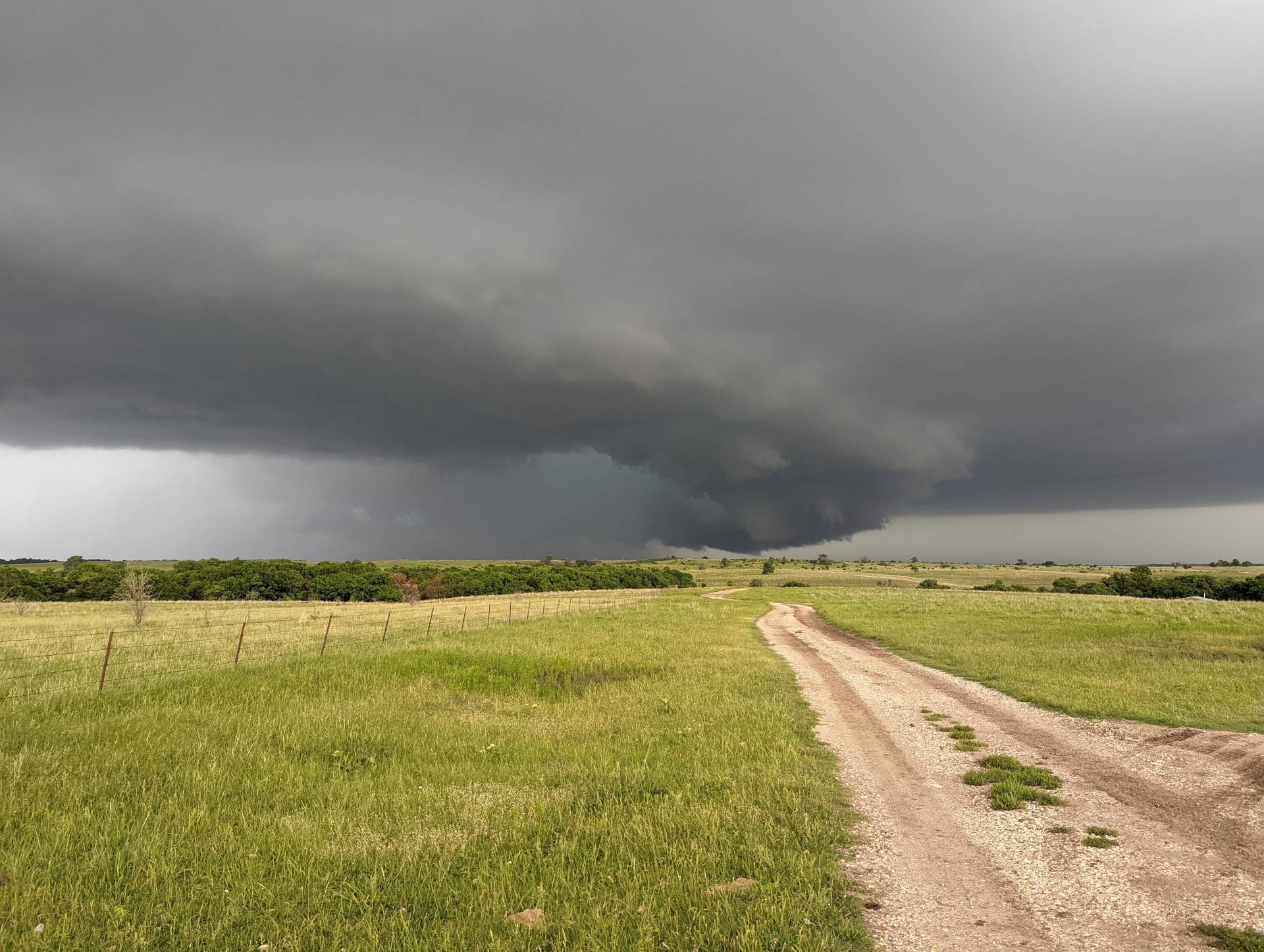
The storm was a slow-mover, giving us plenty of time to sit and watch its evolution. It continued to march east at about 20 mph toward Dexter, Kansas.
This storm moved off to the east across the Flint Hills, which provide few road options. We positioned for another supercell moving into Arkansas City from the west.
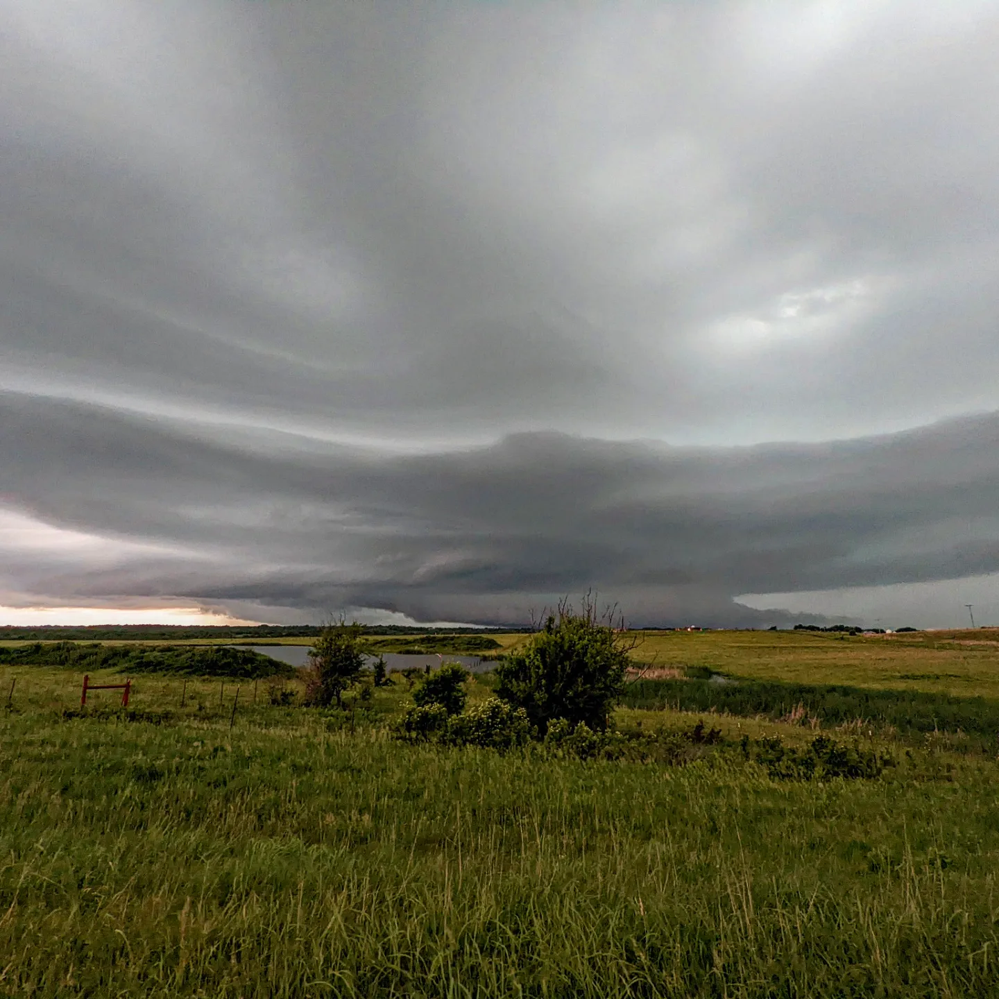
The second storm tried to produce a couple of funnels, but could not get organized. It did produce a brief spin-up tornado in a field per other chasers, but we were unable to see any brief fingers in contact with the ground.
Community Comments
There are no comments on this post
Want to leave a comment? Join our community → OR Login →