

Published on
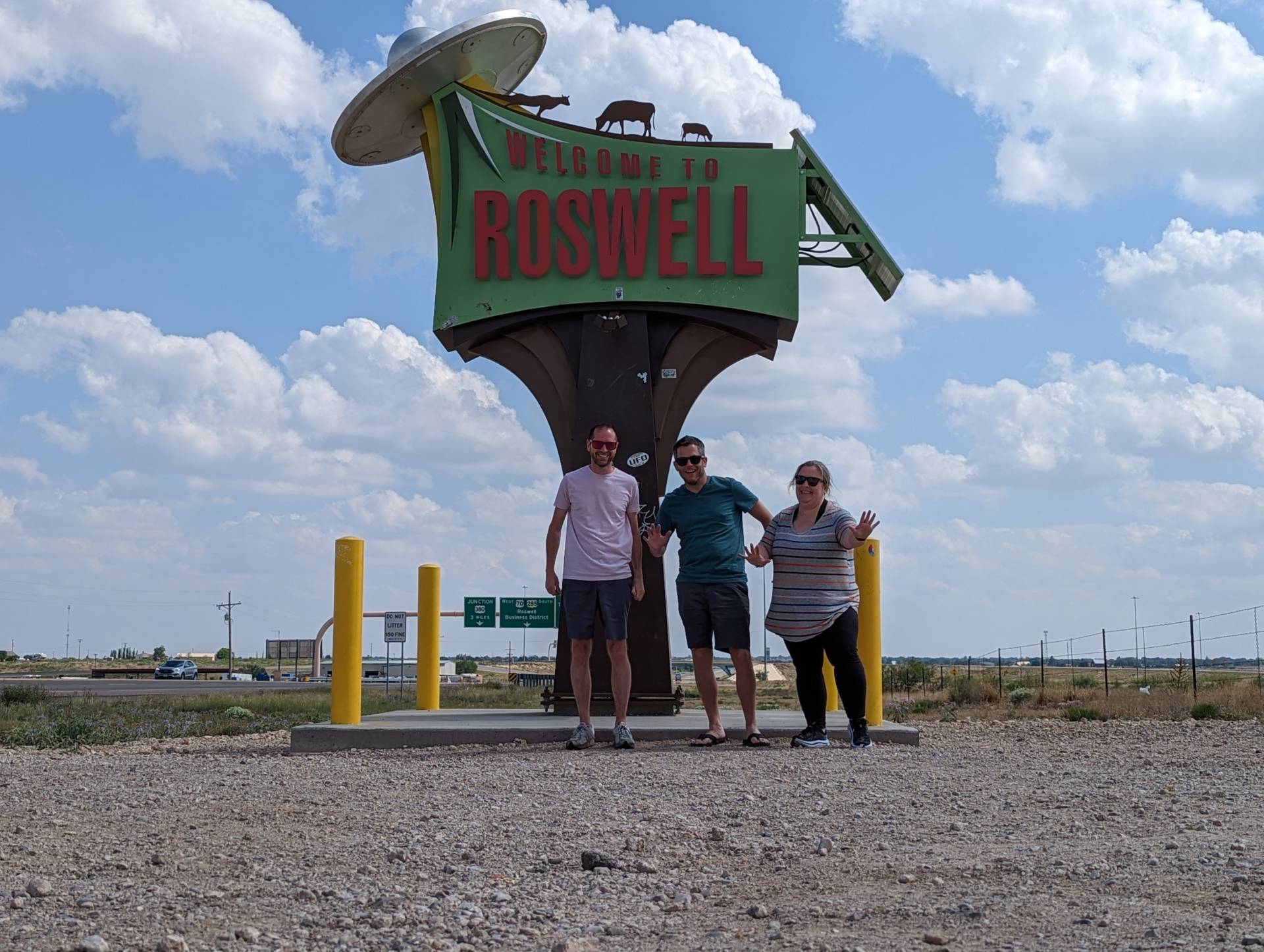
The initial target of Roswell, New Mexico for May 26 was a bit far south – although SPC had an Enhanced Risk for severe storms draped across the region. Sitting in Roswell – we decided to check out storm development near Clovis.
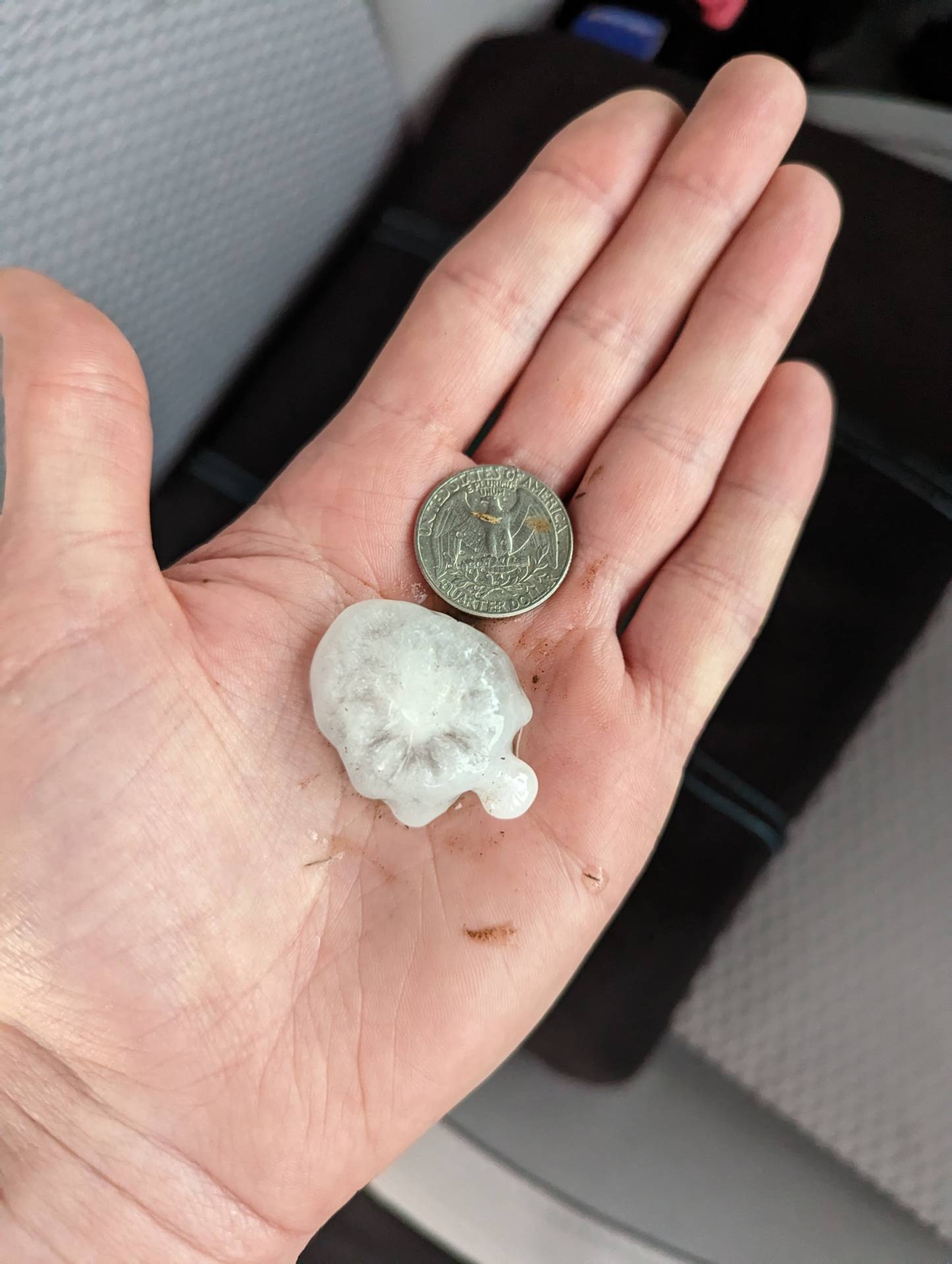
Once back in position near Clovis, we documented several rounds of dime sized hail, with a few stones being slightly after than quarter sized.
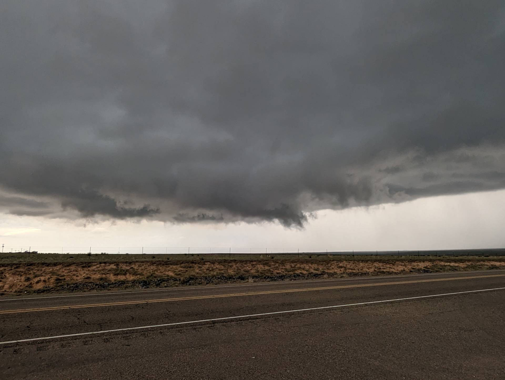
Our severe storm did produce multiple wall clouds and funnels, one of which made very brief ground contact.
Overall was a fun chase. The storm continued after dark, but was mainly producing large quantities of hail as it moved into the Western Texas Panhandle region.
Community Comments
There are no comments on this post
Want to leave a comment? Join our community → OR Login →