

Published on
With some tropical moisture in place and a cold front nearby, the Storm Prediction Center put out a Slight Risk of severe storms across Central and Southern Kansas, effective for the afternoon/evening of October 13, 2026.
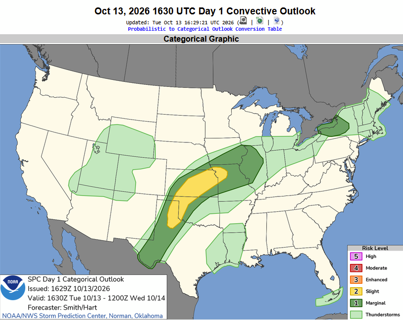
The main hazards were damaging wind and some hail up to ping-pong ball sized, but the tornado threat was not zero.
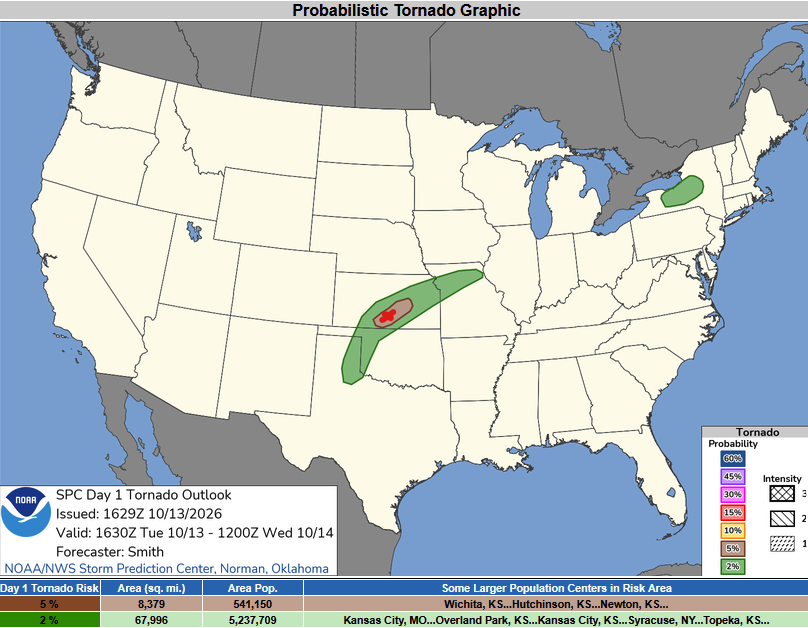
The tornado probablistic map showed a 5% chance of a tornado occurring within 25 miles of any point in that brown shaded area. The red X indicates my target area – Pratt, Kansas.
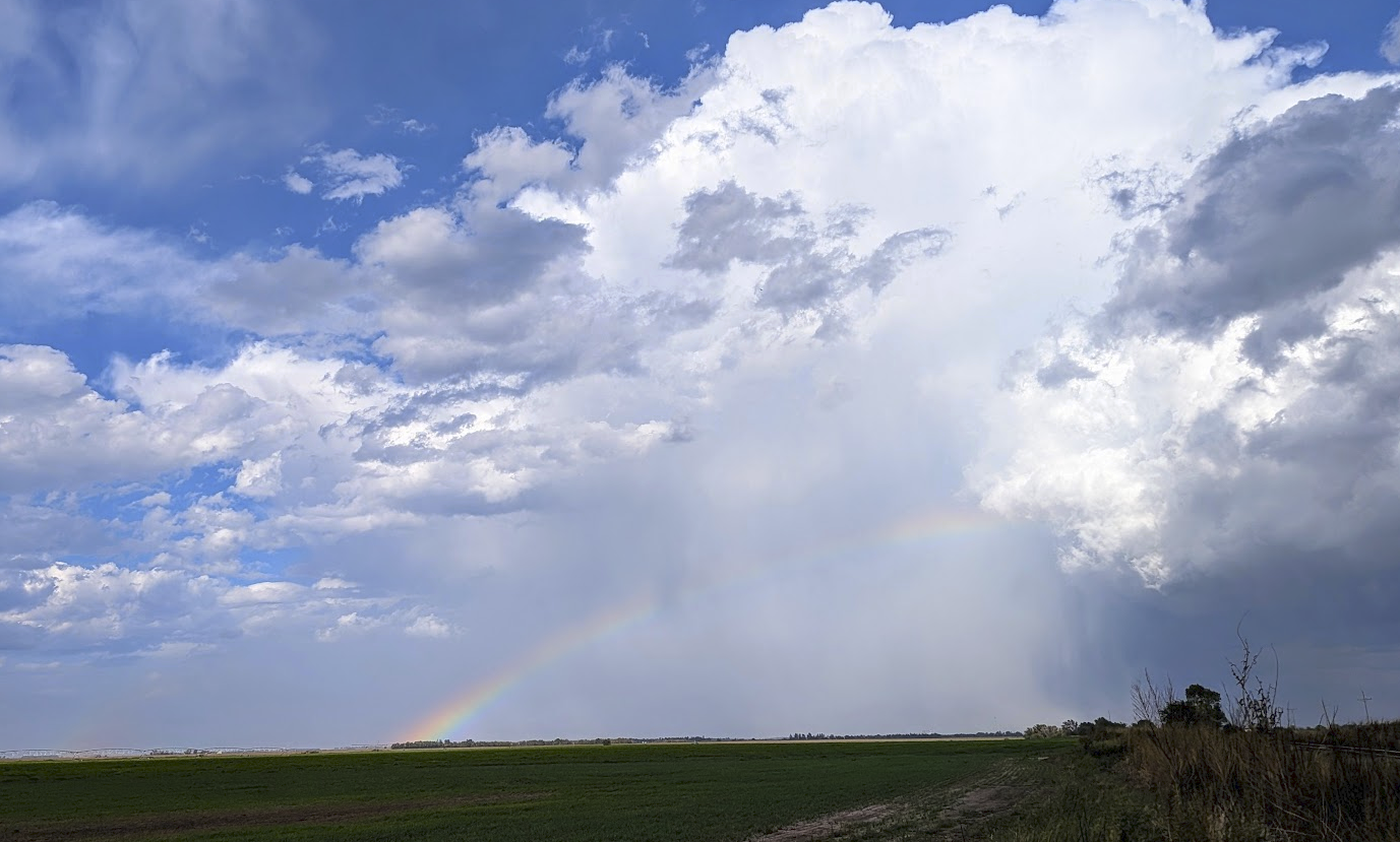
The first robust storm of the day popped up near Pratt, and rolled to the northeast. This image was captured near Arlington, Kansas. This particular storm was behind the cold front, so it didn’t have the opportunity to become tornadic – but it still showed a pretty landscape.
We jumped down to some storms forming ahead of the cold front – closer to the Sawyer, Kansas area. This storm was still not overly robust, but it again made for some pretty skies.
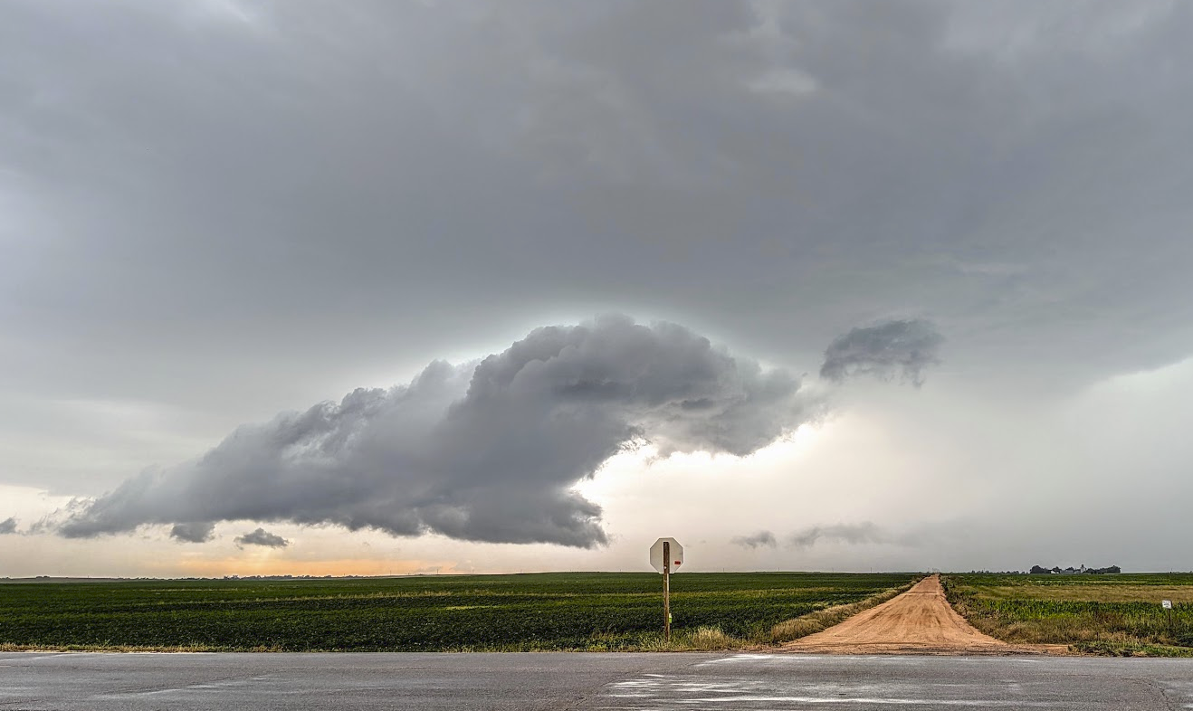
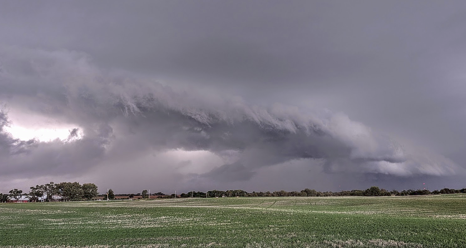
A bit closer to sunset, we jumped on the strongest storm in the area – which did produce a brief tornado, albeit not where we could see it. A shelf cloud did form as darkness began to fall. The picture below was taken near Anthony, Kansas.
Any fall chase is a good chase – just knowing winter will be coming before we know it. While storms didn’t go crazy – they still provided some entertaining times with the chase team, and some pretty sights to view!




Community Comments
There are no comments on this post
Want to leave a comment? Join our community → OR Login →