

Published on
A fairly marginal day in terms of severe weather potential – we decided to try our luck in the far Southwest Kansas vicinity.
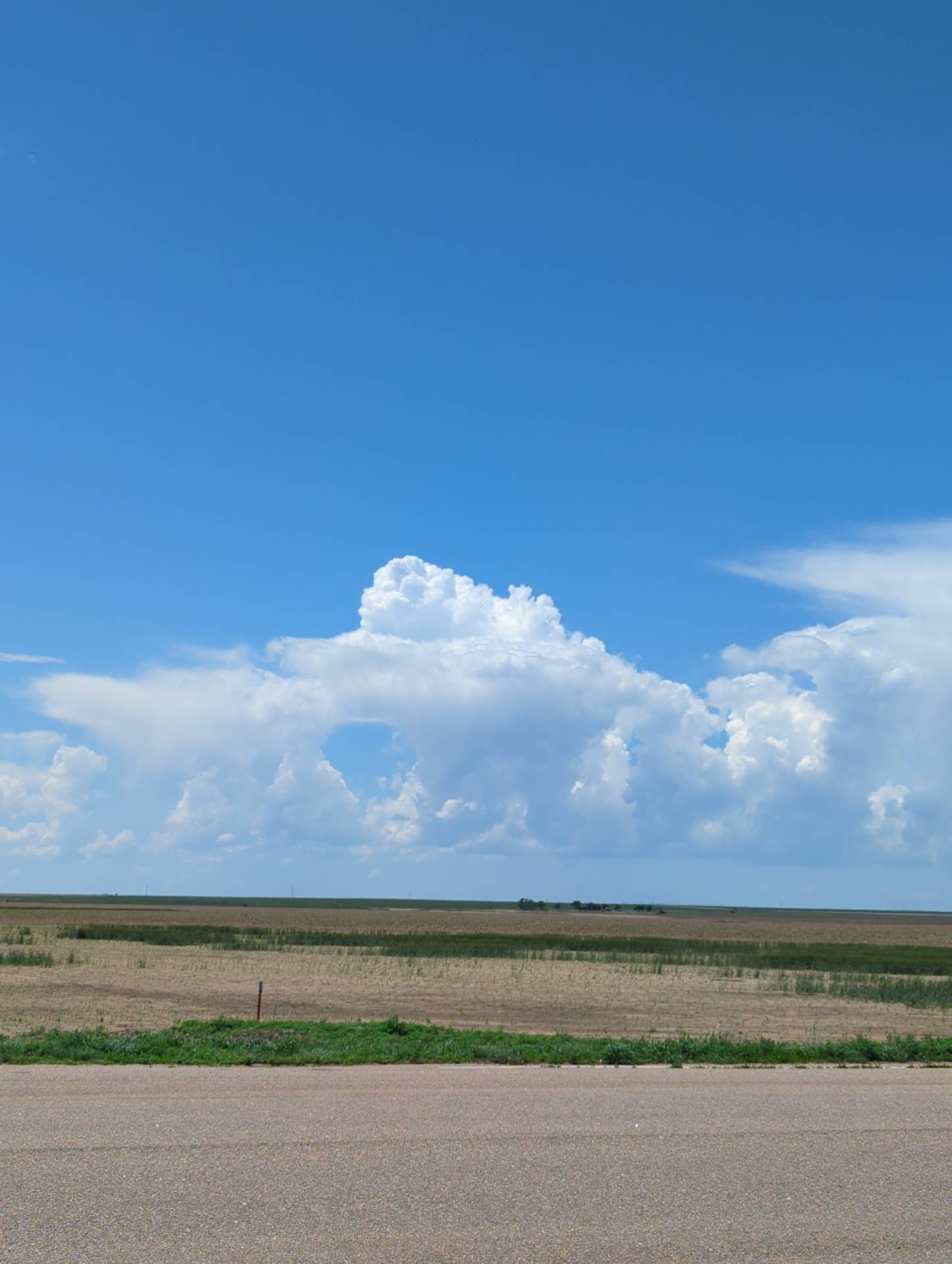
Starting off near Elkhart, we rolled up to Johnson City as development bubbled to our west. After a bit, a more robust storm developed and started to move across the Colorado border into Kansas.
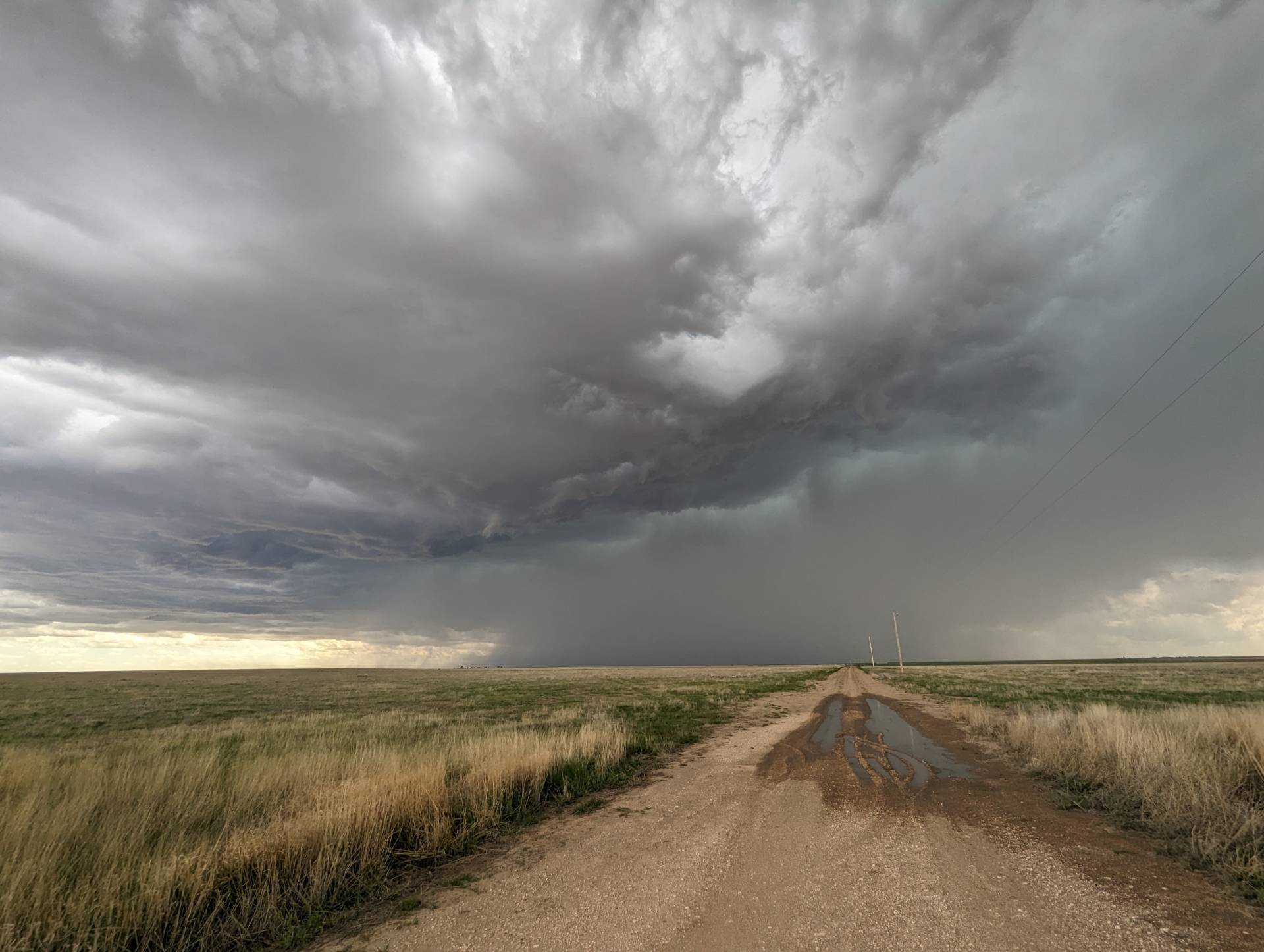
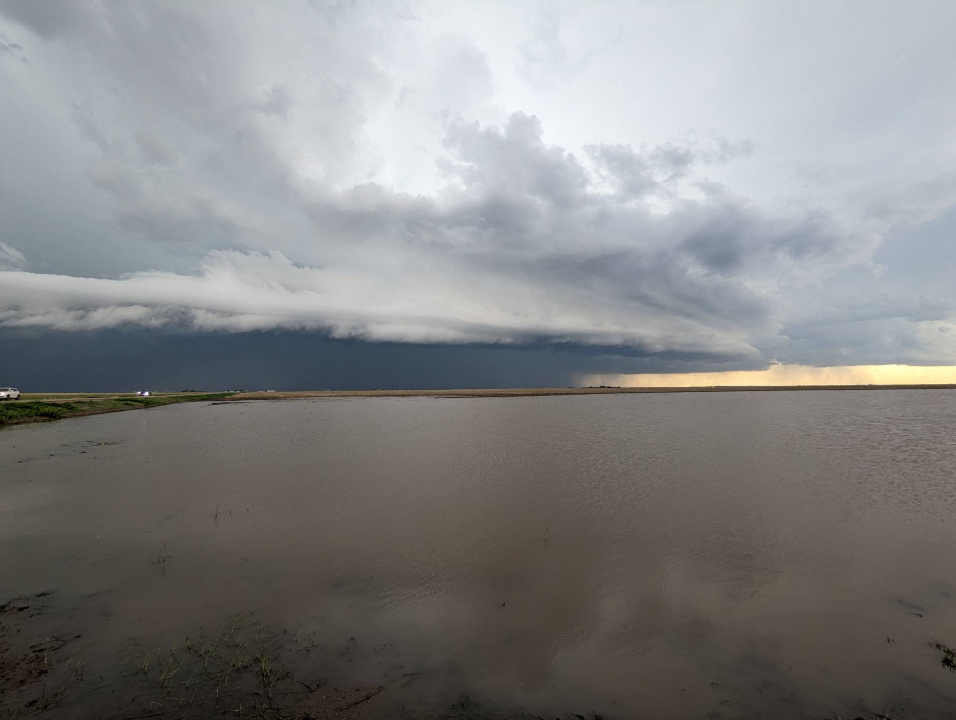
Storms quickly grew upscale and became a hail/wind producing line.
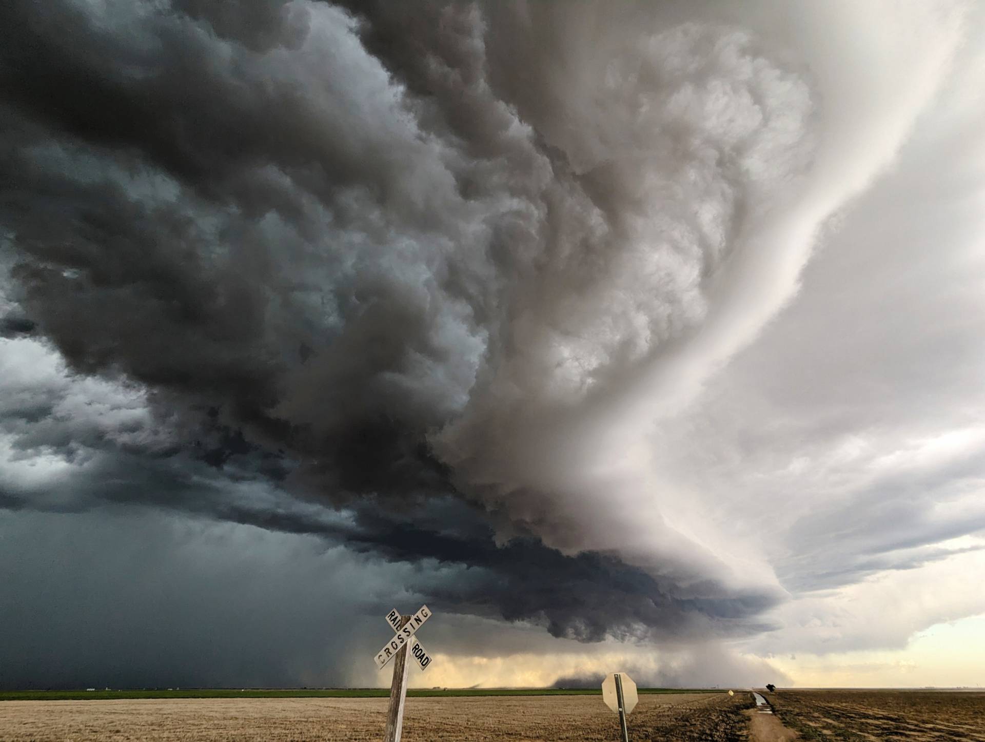
Storms did have pretty structure and coloring as they continued east from Elkhart and Rolla, Kansas into the Hugoton vicinity.
Community Comments
There are no comments on this post
Want to leave a comment? Join our community → OR Login →