Published on
September 5th was slight-risk setup for severe storms, but with little tornado potential. Good instability would be in place by mid-afternoon through much of Southern Ontario, with ML CAPE forecast to approach 2000. However, upper level flow would be displaced to the west, and shear was not especially impressive. Regardless, it was getting late in the season and so I was willing to chase every opportunity that presented itself before the winter!
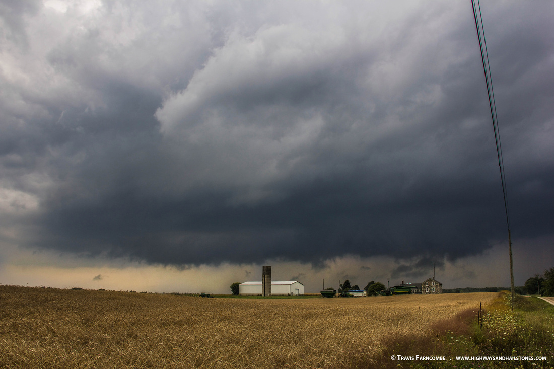
I targeted the Durham area up in Grey Bruce, where I thought that shear might be slightly better than other regions. Driving northwest, I arrived as storms were beginning to fire, intercepting an isolated storm that was going up to the west of Hanover. The storm was the most picturesque and impressive here, in its early stages, with a flat, low and circular base.
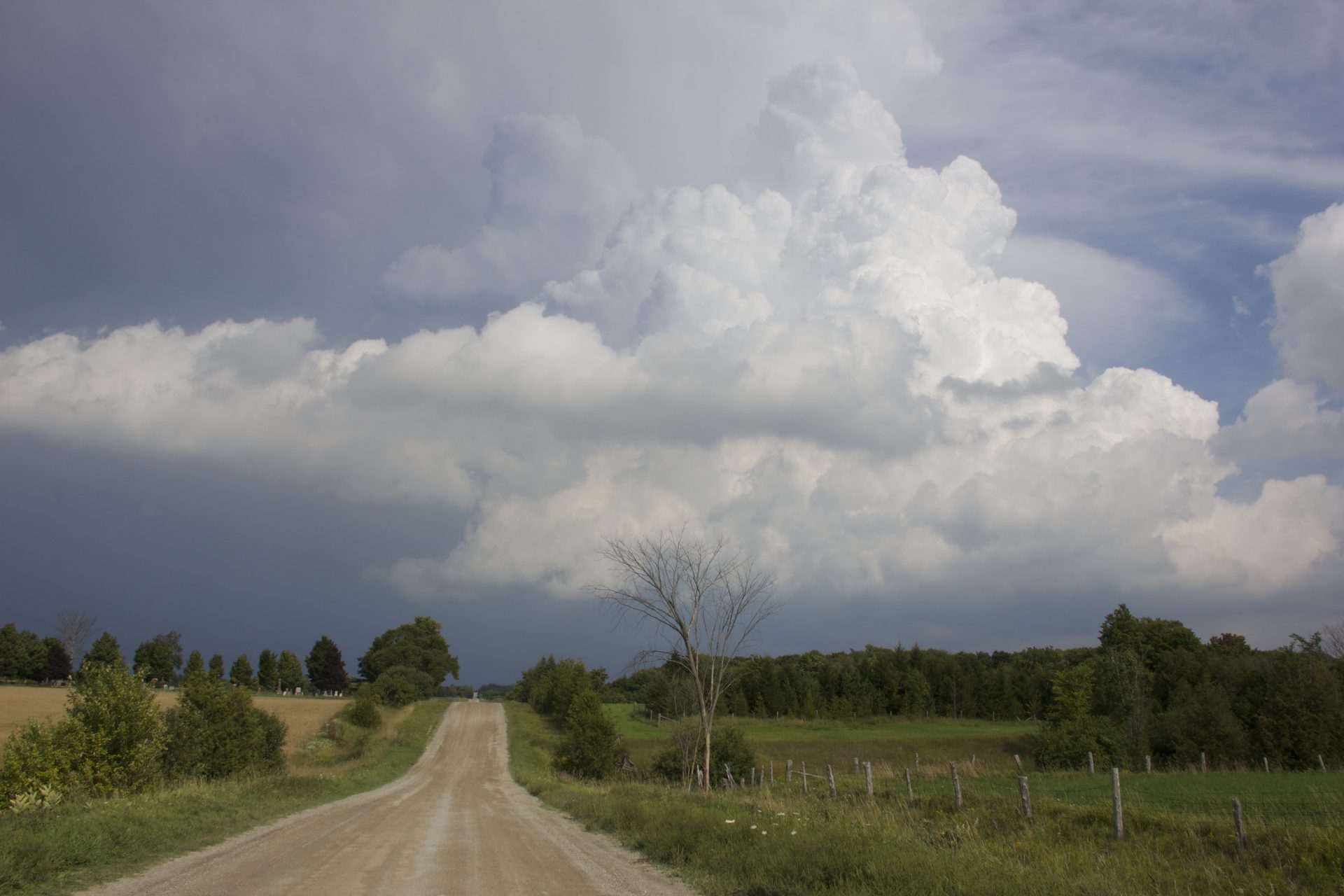
Unfortunately, the cell had trouble establishing itself and becoming surface-based, and quickly transitioned to a high-based storm with little structure. Nevertheless, it did provide some decent photo opportunities as I tracked in eastward toward Creemore. It passed through scenic forest and farmland, tried to exhibit some slight rotation as an RFD interaction occurred, and then the backside of the updraft made for a pretty display as I finally let the storm part.


Community Comments
There are no comments on this post
Want to leave a comment? Join our community → OR Login →