

Published on
This day featured strong instability, but poor low level shear, so boundaries were heightened in value. I started the day heading south out of Kansas toward Elk City, Oklahoma, where I thought I spotted an outflow boundary earlier on satellite running southwest to northeast across the area.
By the time I got down to I-40, convection started to congeal on a boundary further south near Childress, Texas. I figured I might have misread things earlier, so I went after it. As I got closer, convection in that area was dying. So I chased my tail with other cells from Childress to Matador that were struggling against the cap.
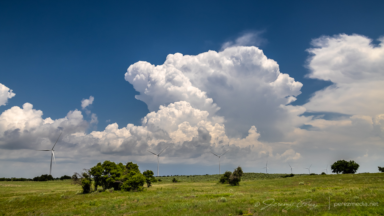
Western Oklahoma — 1822Z 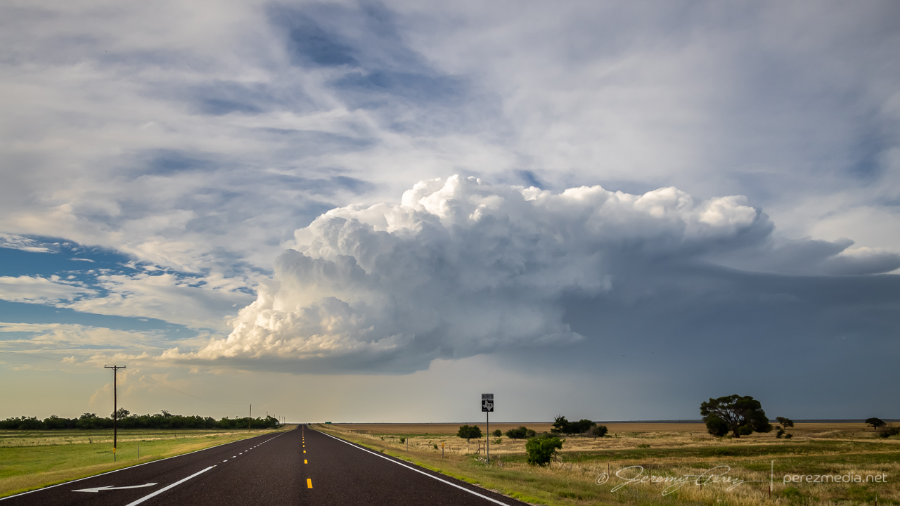
Looking north from Matador — 0028Z
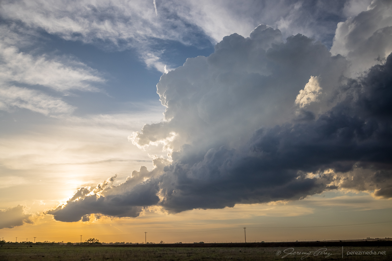
I finally wound up on a couple cells blossoming near Paducah. These were struggling too, but by sunset, one of them at least dropped a photogenic precipitation core and drifted off with a decent sunset display.
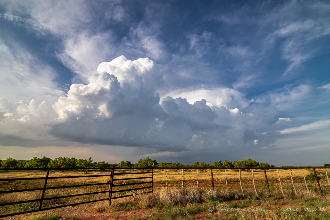
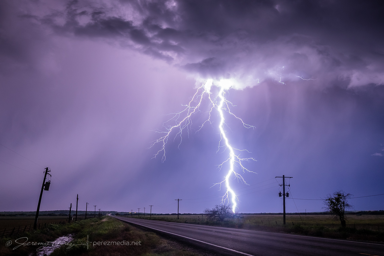
Five miles west of Paducah — 0107Z 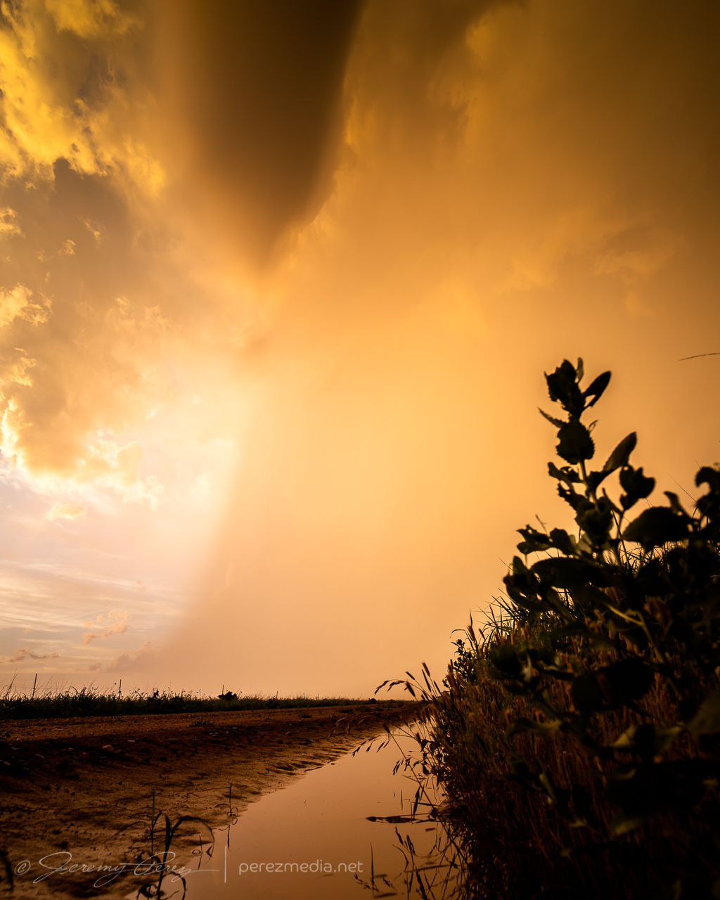
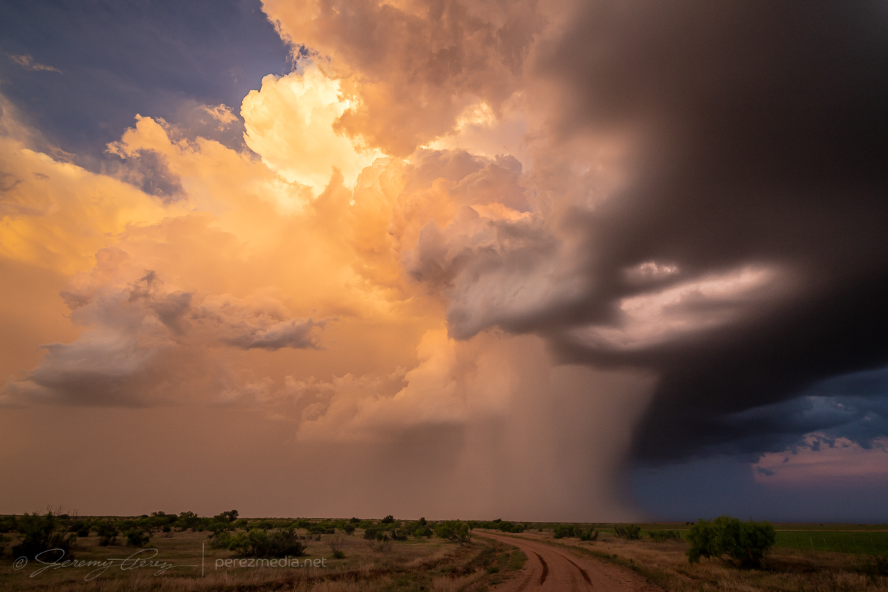
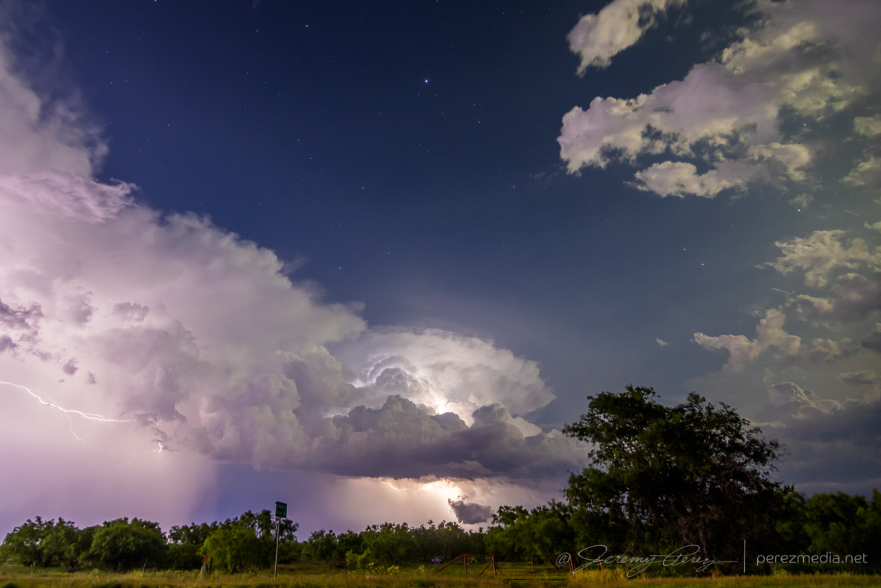
Three miles east of Paducah — 0136Z 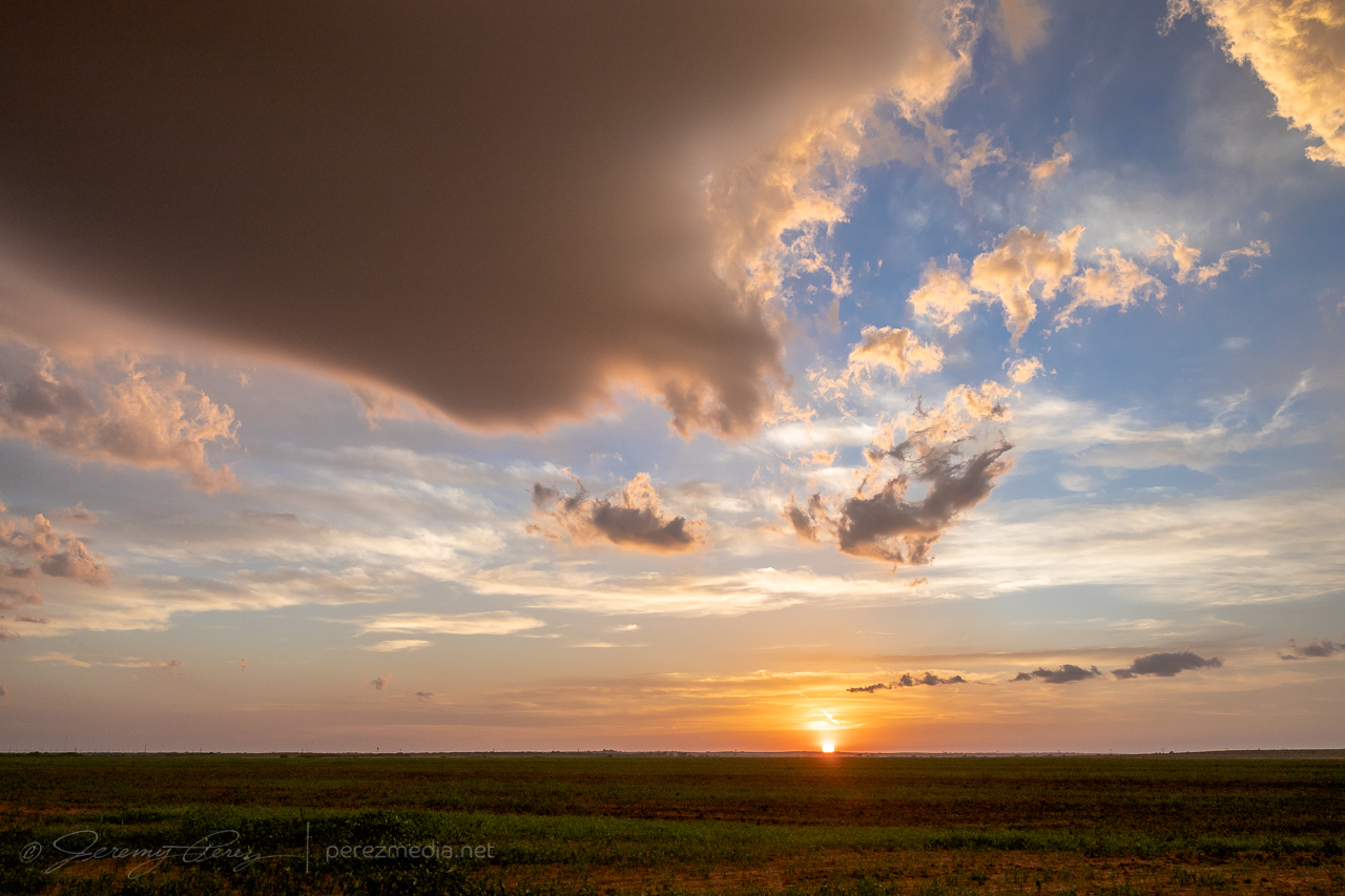
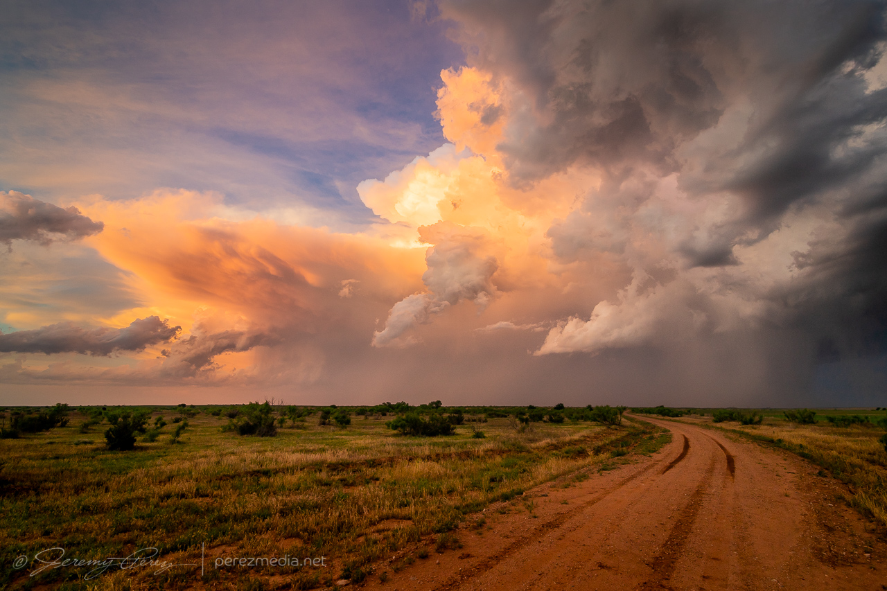
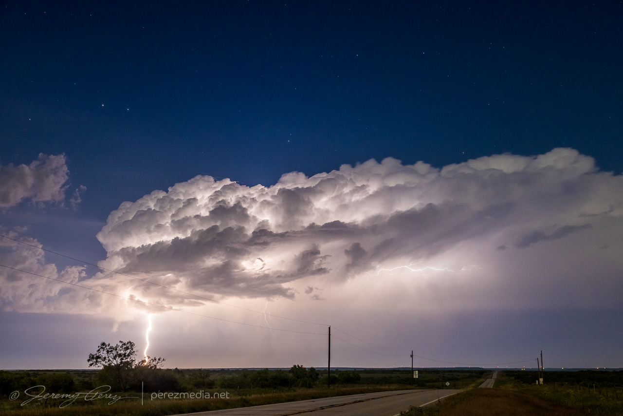
0138Z
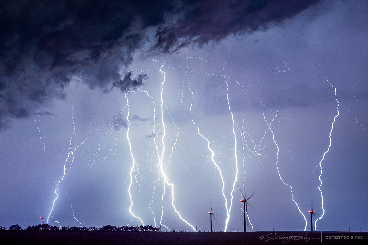
The core was so sharp on this one, its trail caught me by surprise. After it passed, I drove north to get back on the highway, and my unpaved road turned suddenly from great shape to slick icing. The slightest motion caused the car to slide slowly in the direction of the road grade toward a nasty ditch. So I just started working the physics in reverse as best I could, angling the wheels back and forth at just the right angle to gain some minimal traction vs. sideways slide tendencies, backing up in subtle zigzags to keep it as close to the peak center of the road as possible until I got back to sturdy ground. I replanned my way out, warned another chaser down the road, and headed east to see if twilight lightning would get any more interesting. It wasn’t looking great, so I stopped in Crowell for an Allsups break, figuring I was done for the day.
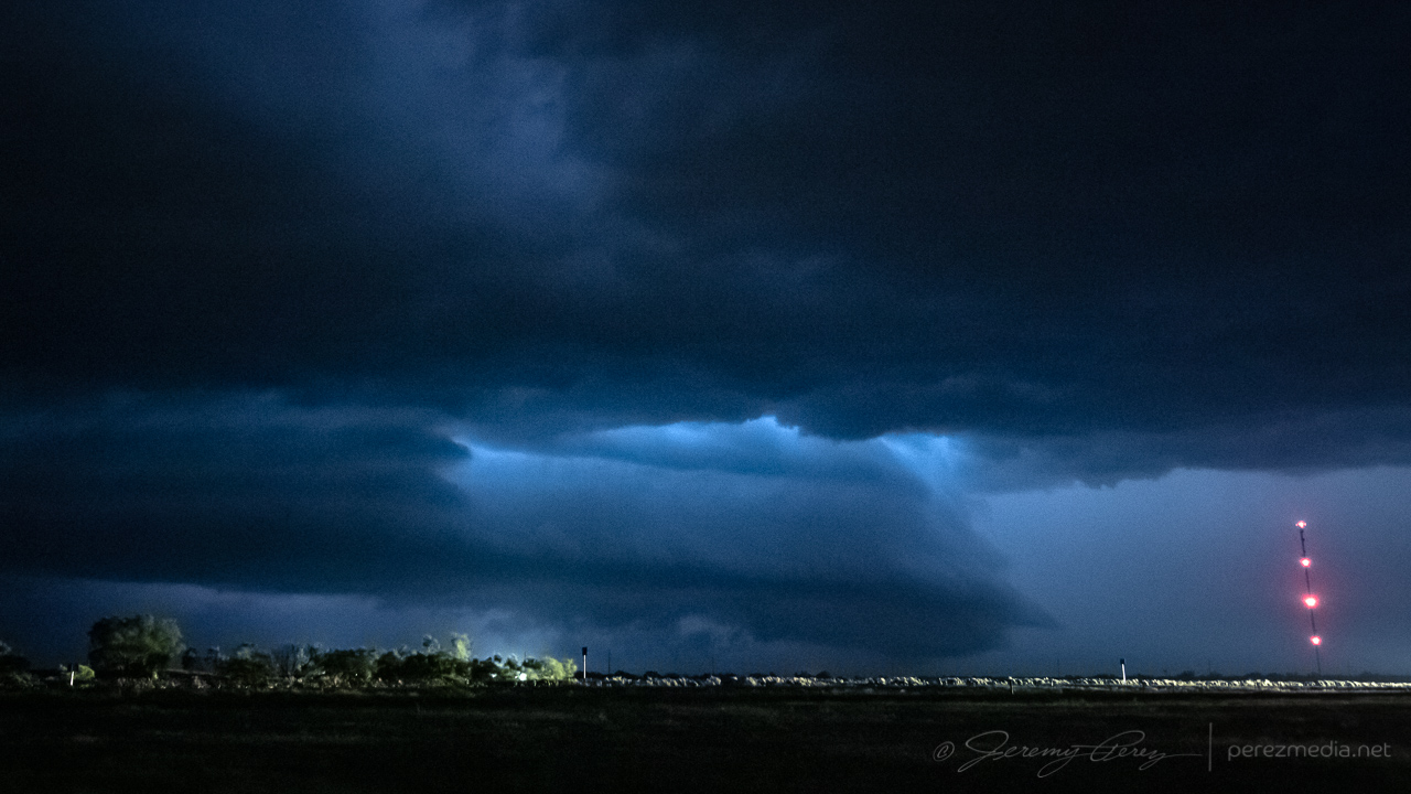
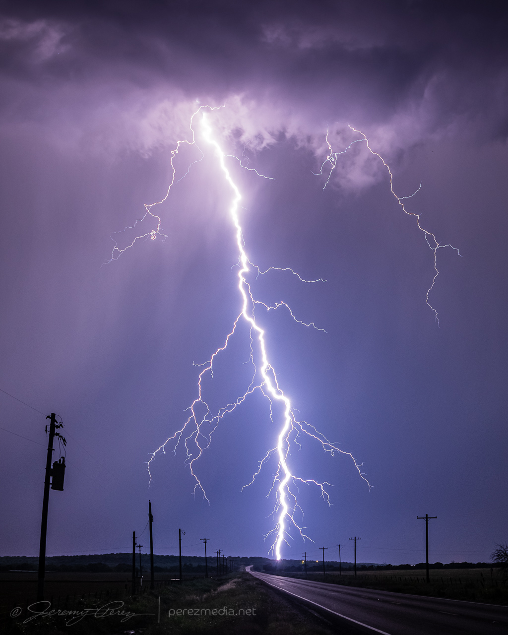
When I got back outside, I was surprised to see a fresh batch of flashes lighting the sky upstream to the west. Radar showed a strengthening supercell moving in, so I headed south outside town and positioned to photograph it as it moved in. This totally made up for the more miserable convective attempts earlier. As it got closer, the CG lightning display got better and better.
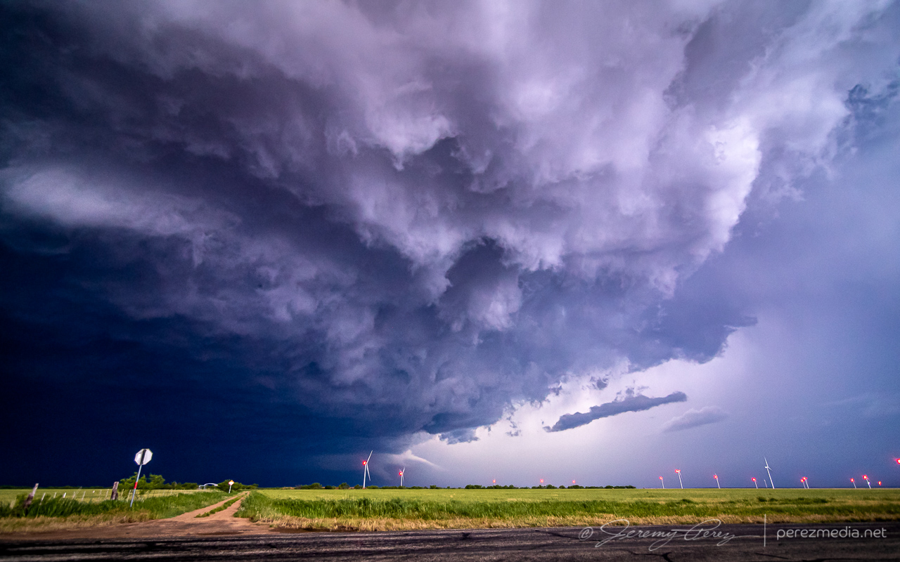
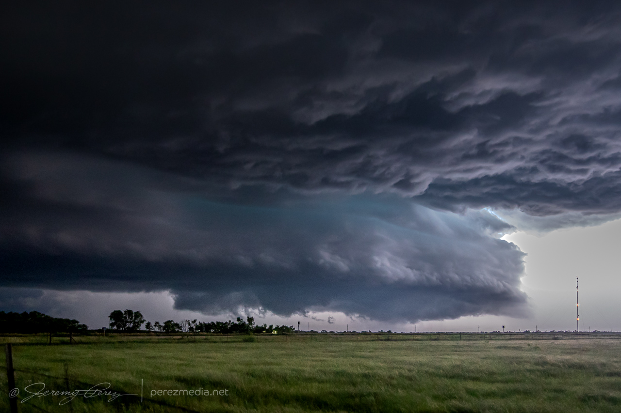
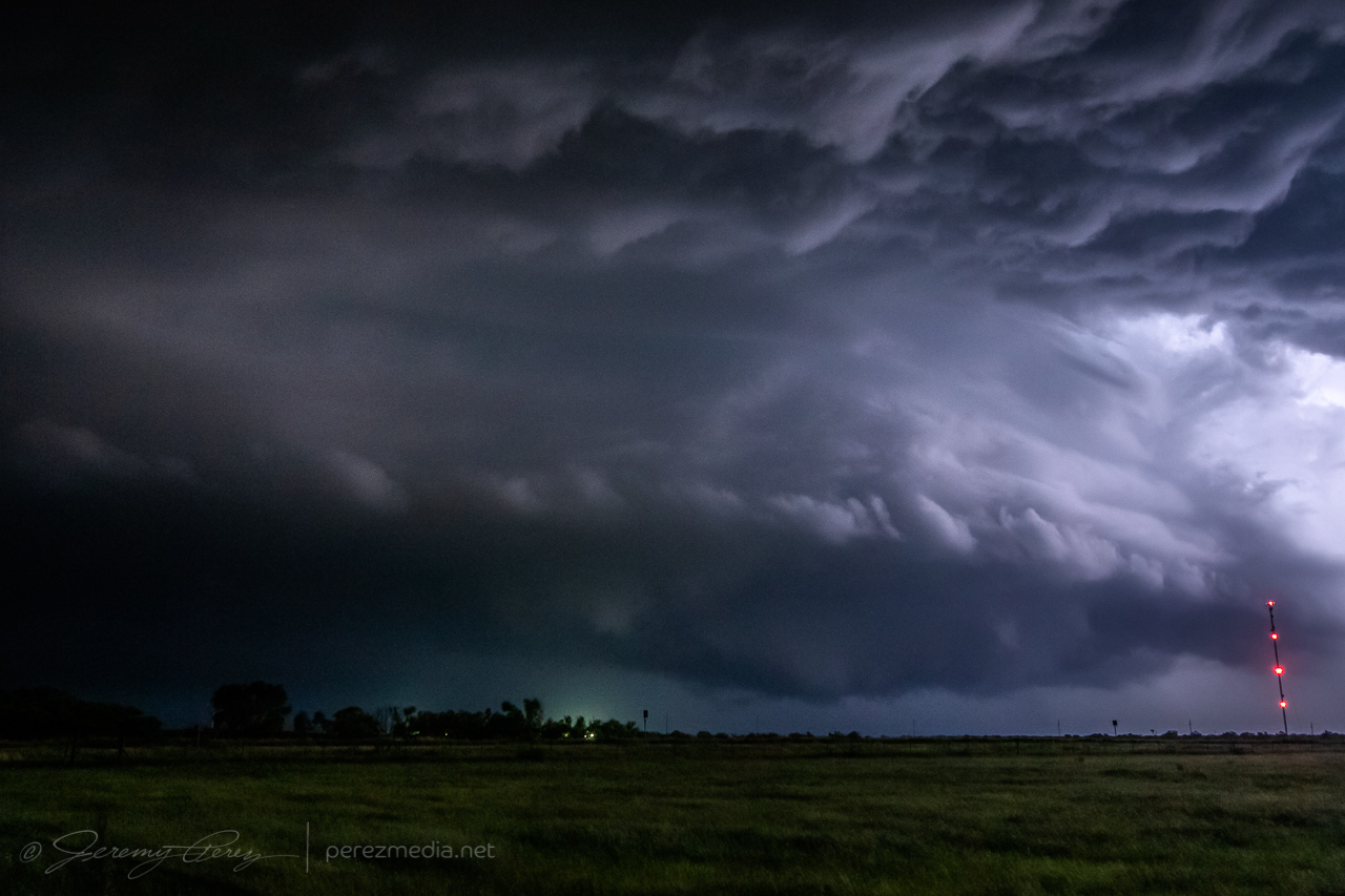
Further south just outside Truscott, the structure got meaner and more impressive. The updraft started to come into view during lightning flashes as sharp glowing tendrils reaching toward the forward flank. As it drew closer, the rear flank materialized as a rugged vertical shelf that have me chills of fearsome anticipation as each flash of lightning illuminated it in unique and ominous ways.
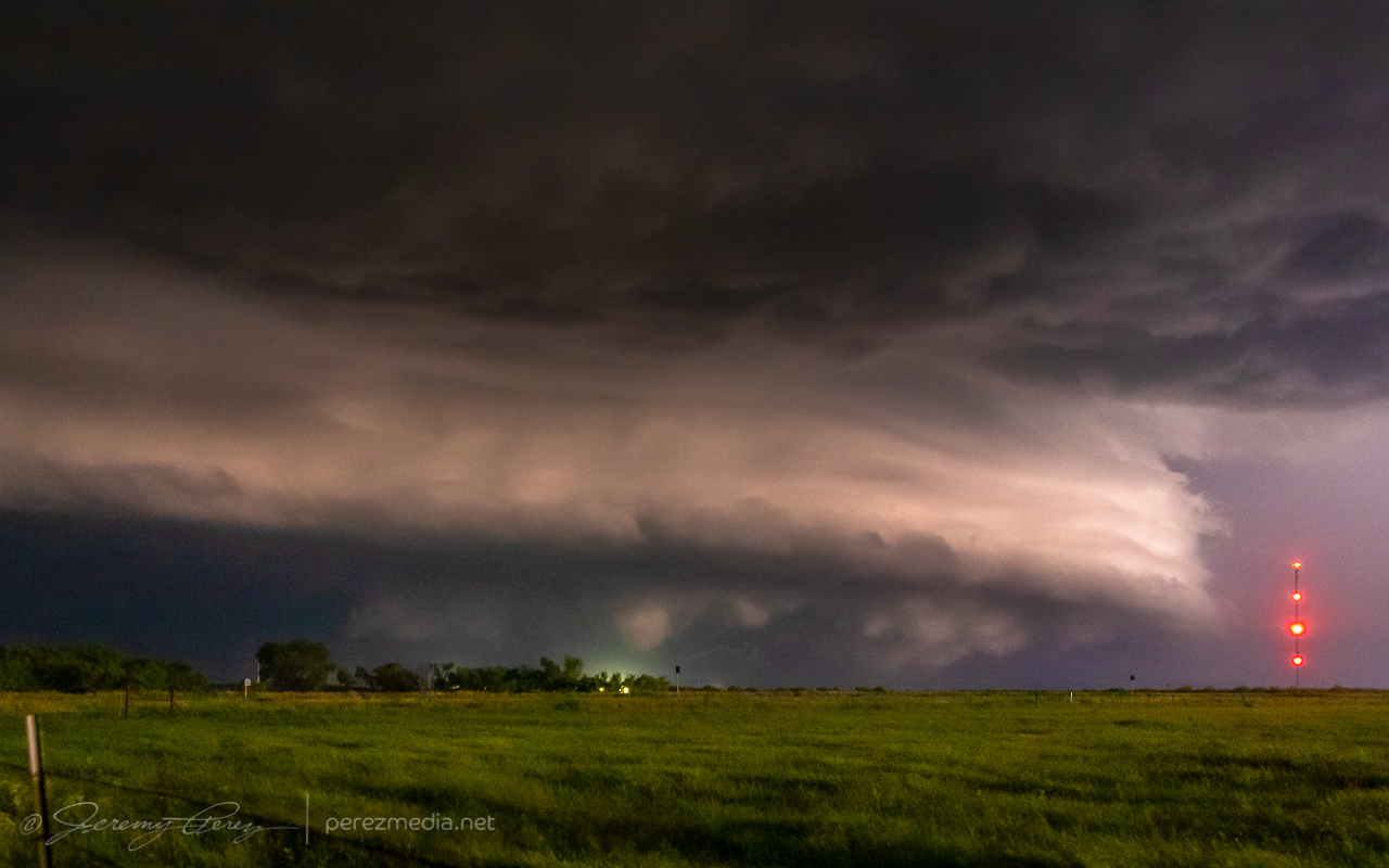
0413Z 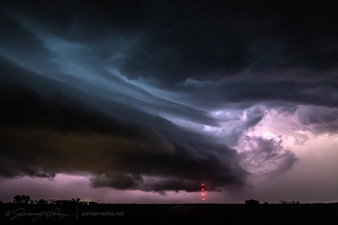
0415Z
As I packed up from that spot, I surfed it south and east through Benjamin and on toward Seymour. Two inch hail was indicated, so I didn’t want to let it overtake me, but it made for an exciting ride. Eventually, south of Seymour, I let it go and was able to snag some more lightning shots off it and another storm to the east before calling the day and overnighting in that general area.
Community Comments
There are no comments on this post
Want to leave a comment? Join our community → OR Login →